Take the CD900 towards Jausiers.
On leaving the village, take the track on the right towards Le Châtelard.
After the fountains, follow the track to the left for 1.4km.
At 1607m, fork right onto a track that climbs through a beautiful mélézin.
At 1833m, the track descends to the Sainte-Anne station.
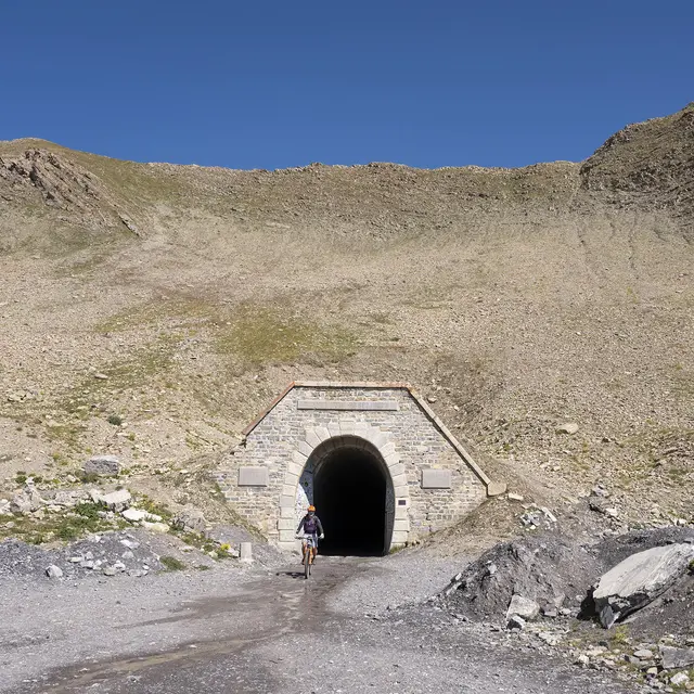
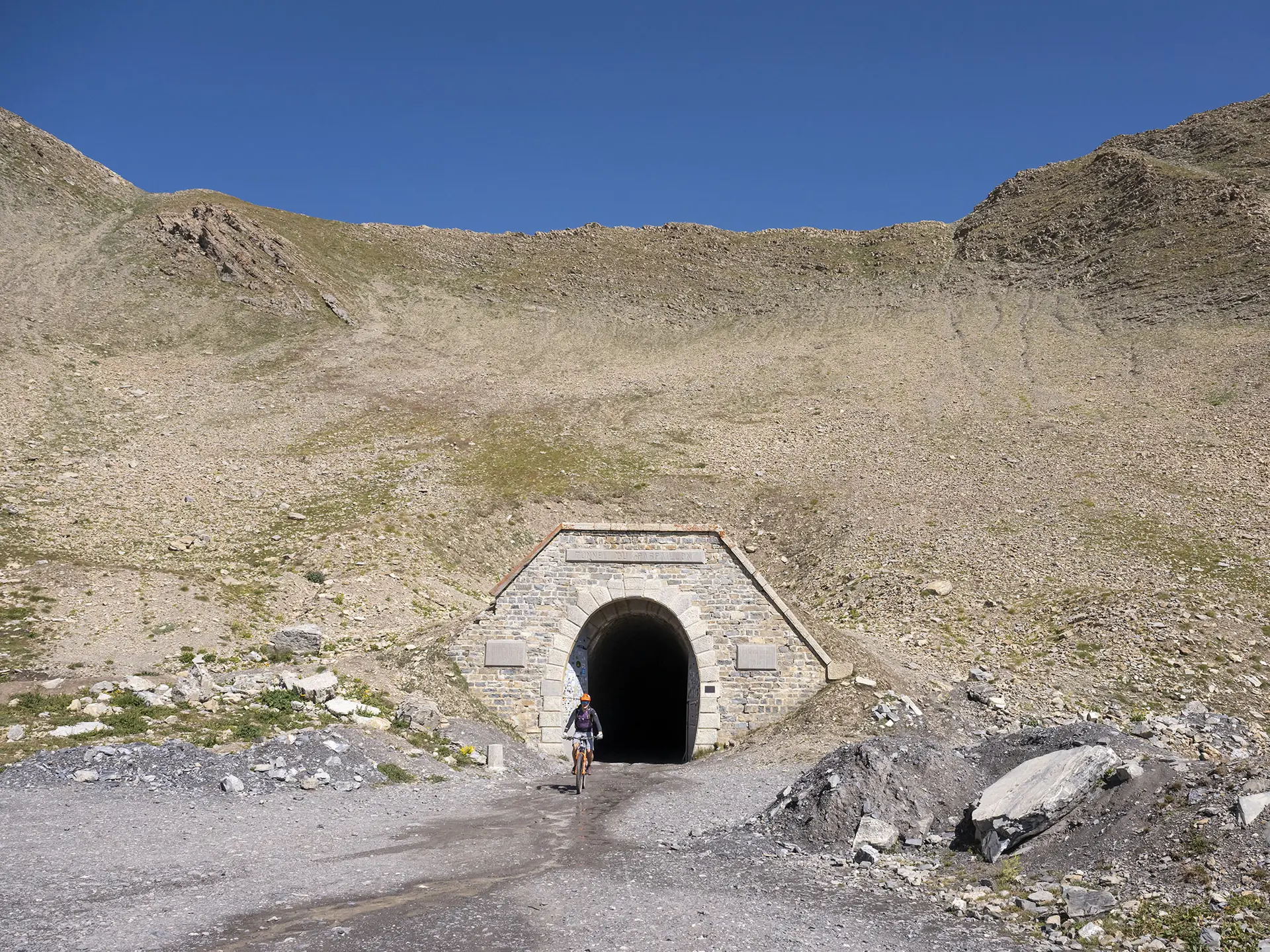
Reach the north end of the resort car park and continue on a track as far as the Parpaillon tunnel.
Return: from the tunnel, follow the track for 11.5km to the Sainte-Anne chapel.
Follow the narrow road to the hamlet of Les Pras.
Turn right onto the road that climbs towards the Sainte-Anne resort for 1.2km, then fork left onto a track. This leads back to the road, which you follow for 750m, then turn right towards Le Châtelard.
Drive through the village past the fountains to La Condamine.
Read more