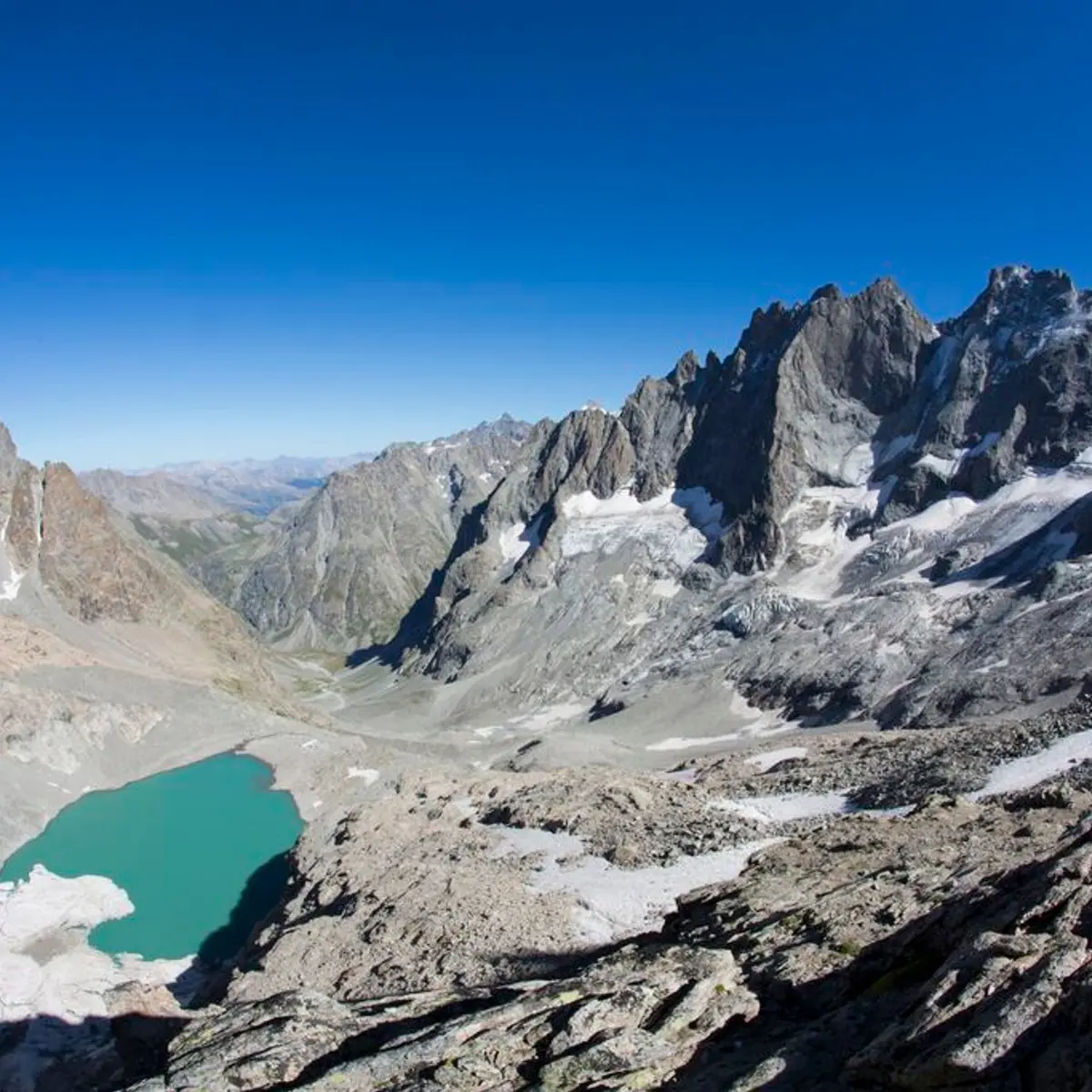
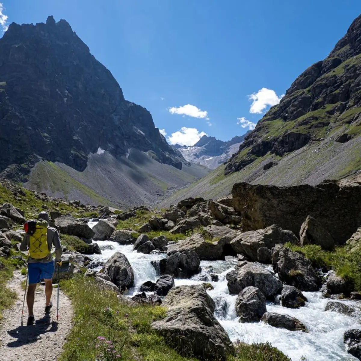
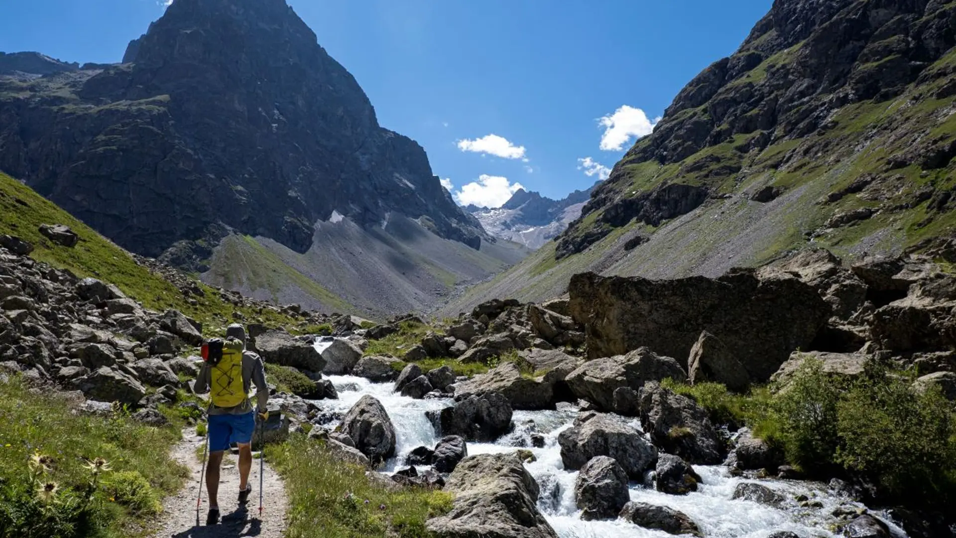
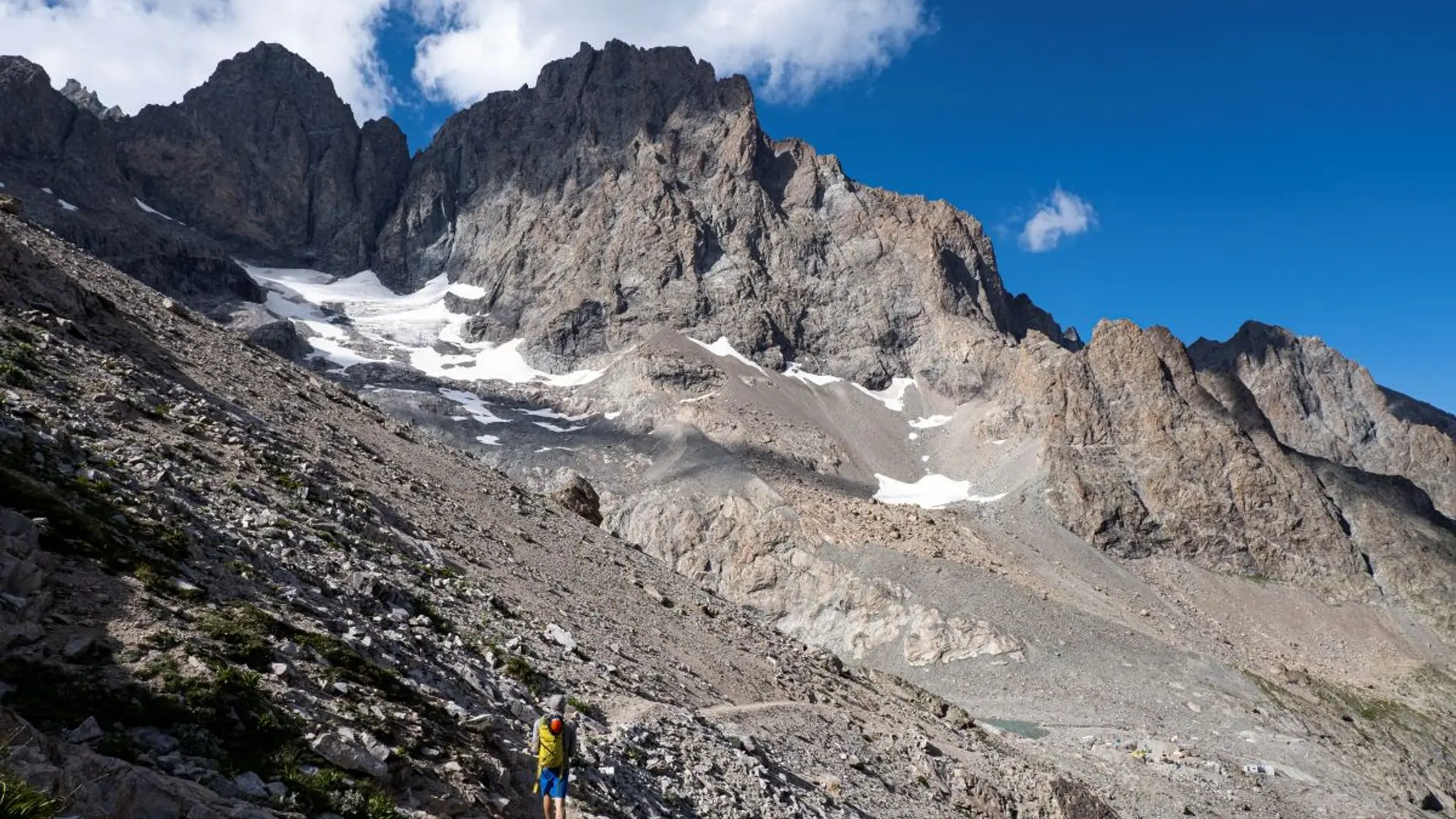
From the start, it's carparck at arsine, the footpath to the Pavé mountain refuge first follows the very popular footpath to the Alpe de Villar d'Arène refuge (GR54). It leaves this path at the summit of the glacial cross-cliff that the locals call "Les voûtes". It then goes alongside the Romanche on the right bank for 2 km of the Plan de l'Alpe, which was previously of interest for the construction of a hydroelectric dam. At the Valfourche bridge that marks the entrance to the heart of the Parc National des Ecrins, the route then crosses to the left bank. It leaves the Romanche valley to go up to the Cavales valley, along the edge of the stream of the same name, until it reaches Les Pichettes, where the alpine meadows end. The valley is then purely mineral. The footpath follows the ridge of the remarkable moraine, up to just below the Clot des Cavales pass in order to circumvent a series of rocky ledges and leads to the Pavé lake and refuge.
Hard
Read more