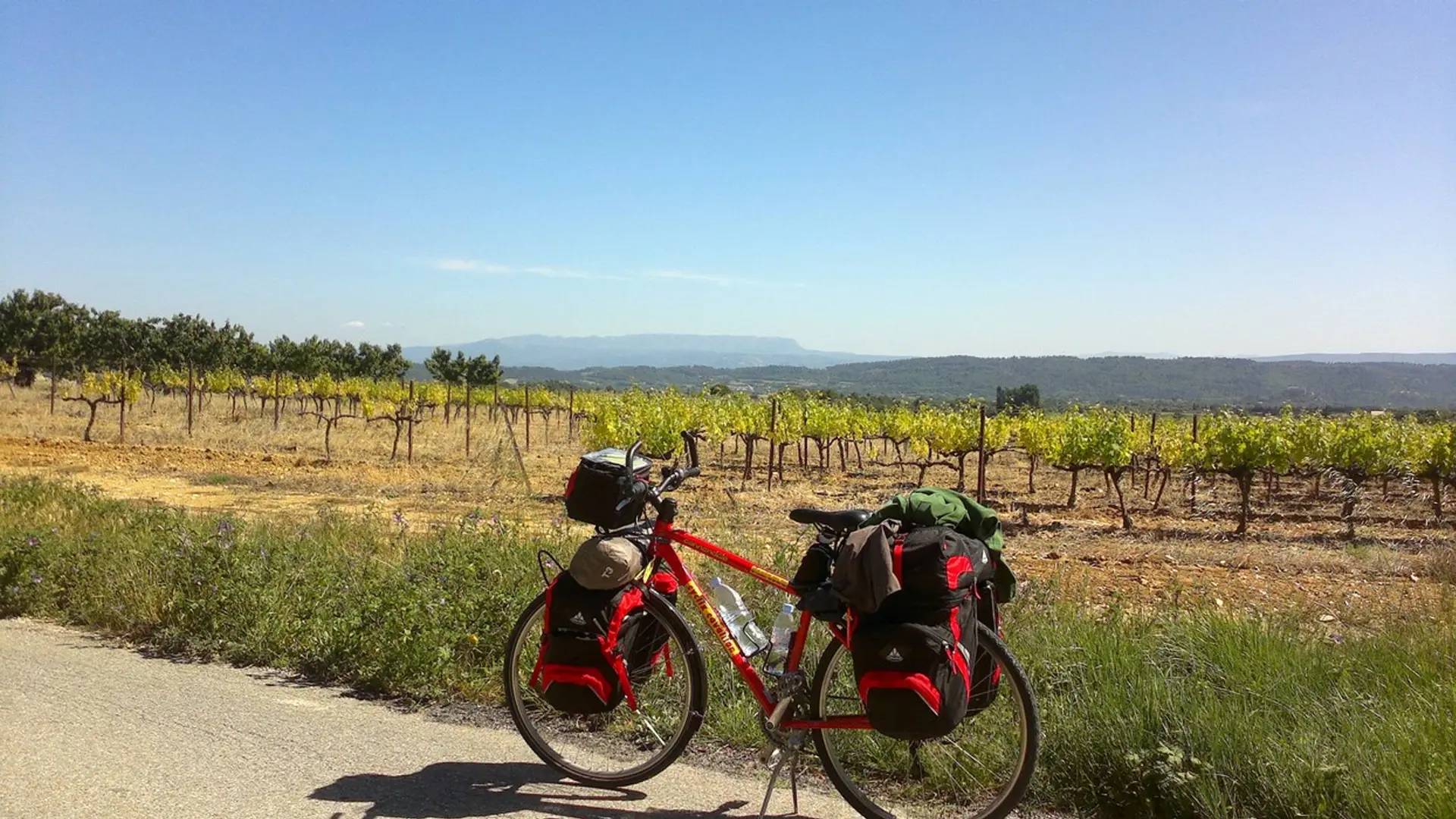
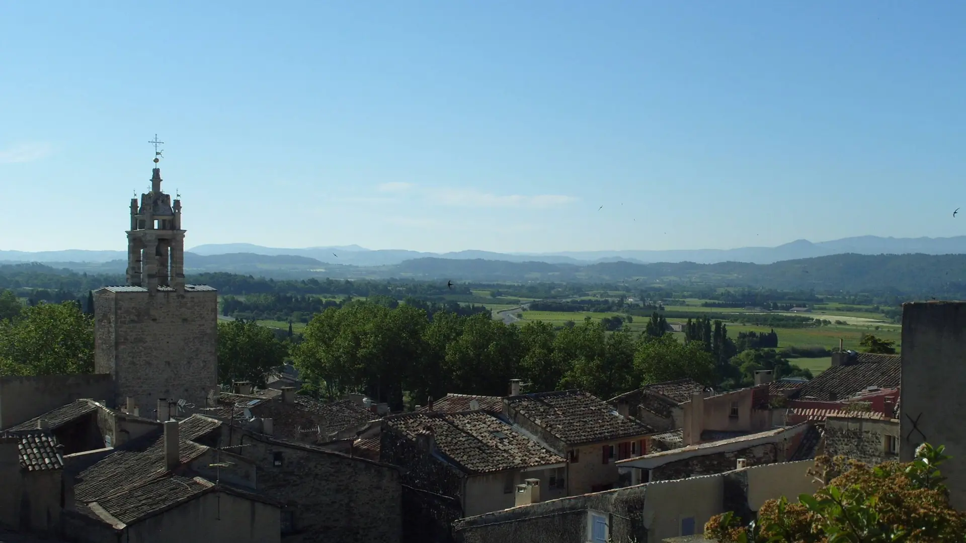
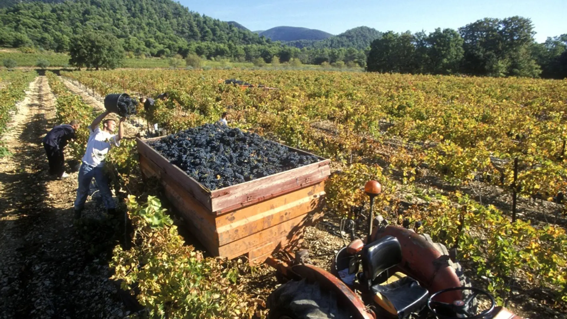
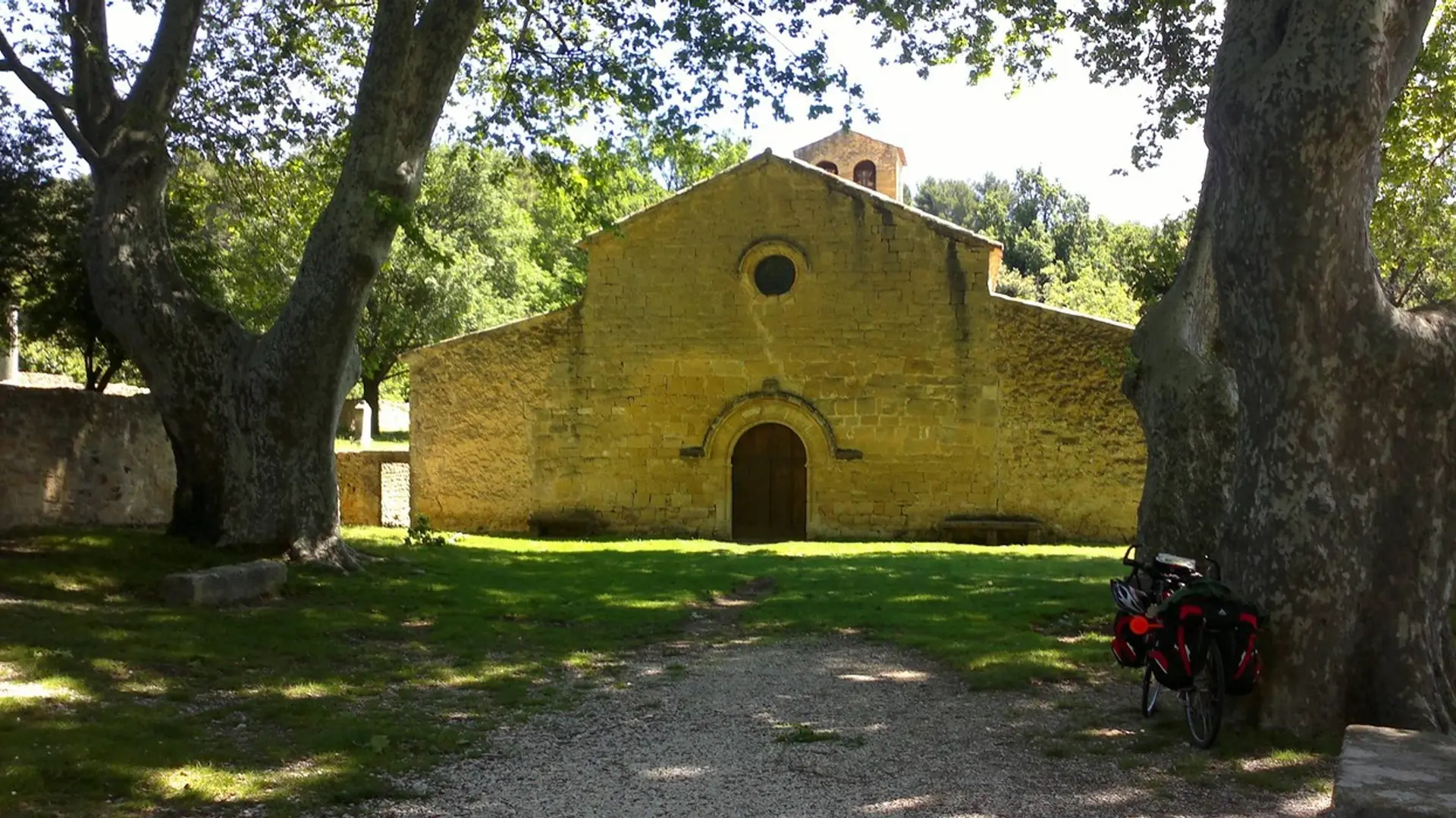
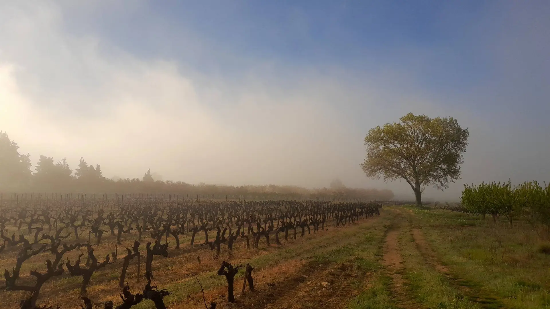
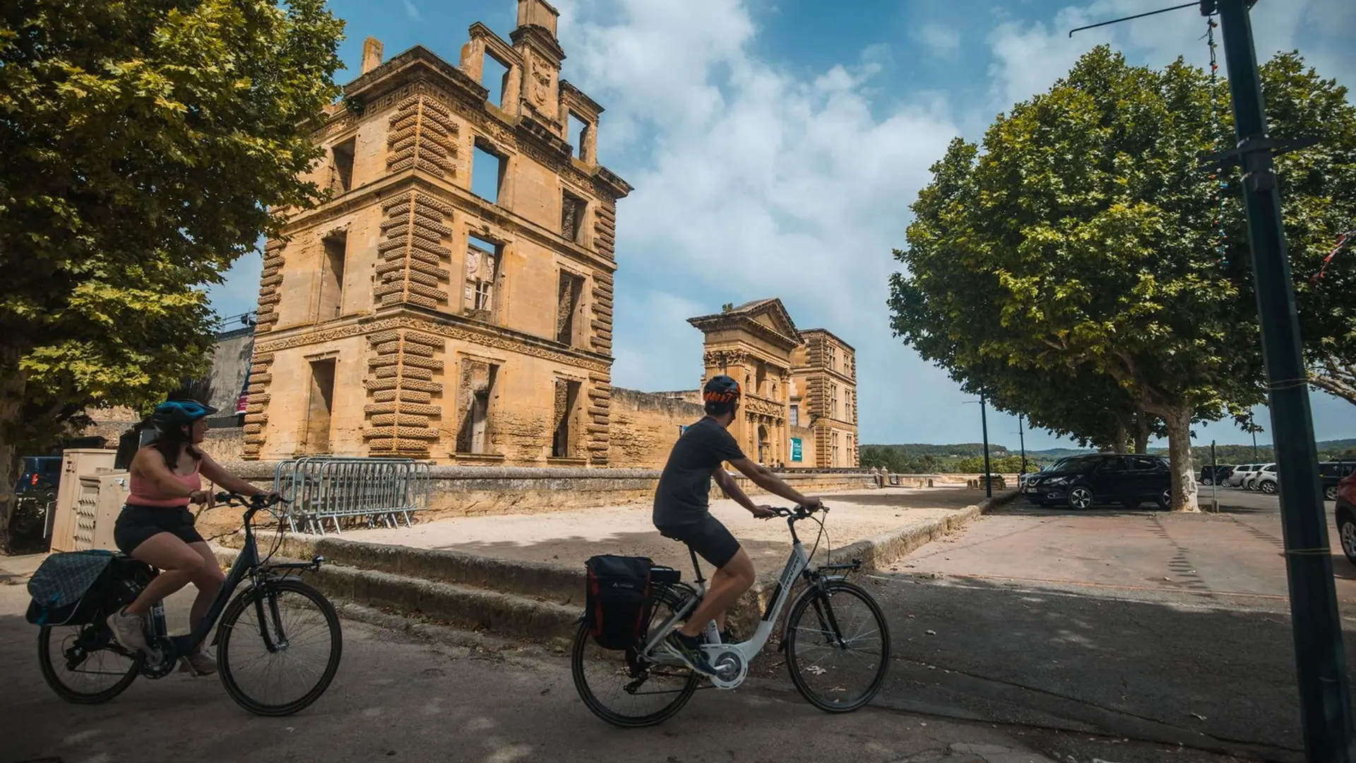
Two days of pure delight between vineyards, olive groves, picturesque villages !
"The latest addition to the marked trails created by the Luberon Regional Nature Park and the Luberon Leisure Bike, the" Pays d'Aigues à vélo "is perfectly adapted for a small weekend roaming. It can also serve as a test path before embarking on a longer roaming, just to check equipment and adjust equipment. The combination of small roads and the slightest difference in altitude, allow you to let go ... So off you go ! ". Eric Garnier, responsible of nature sports studies to the RNP Luberon.
Medium
Read more
Tips
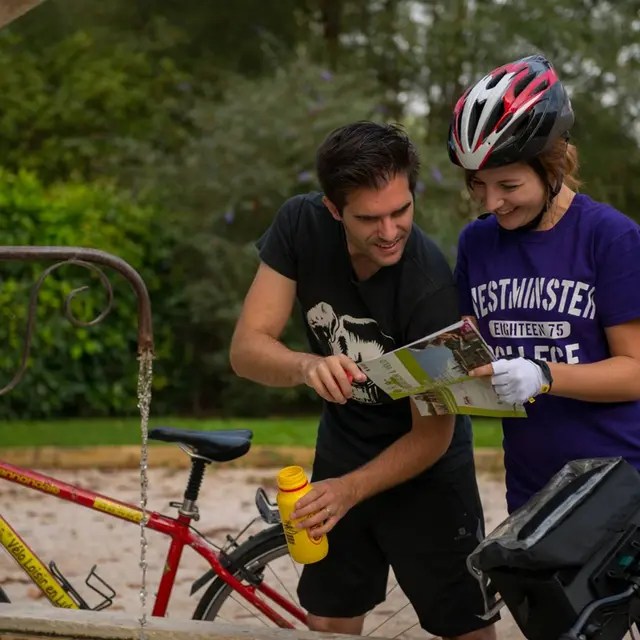
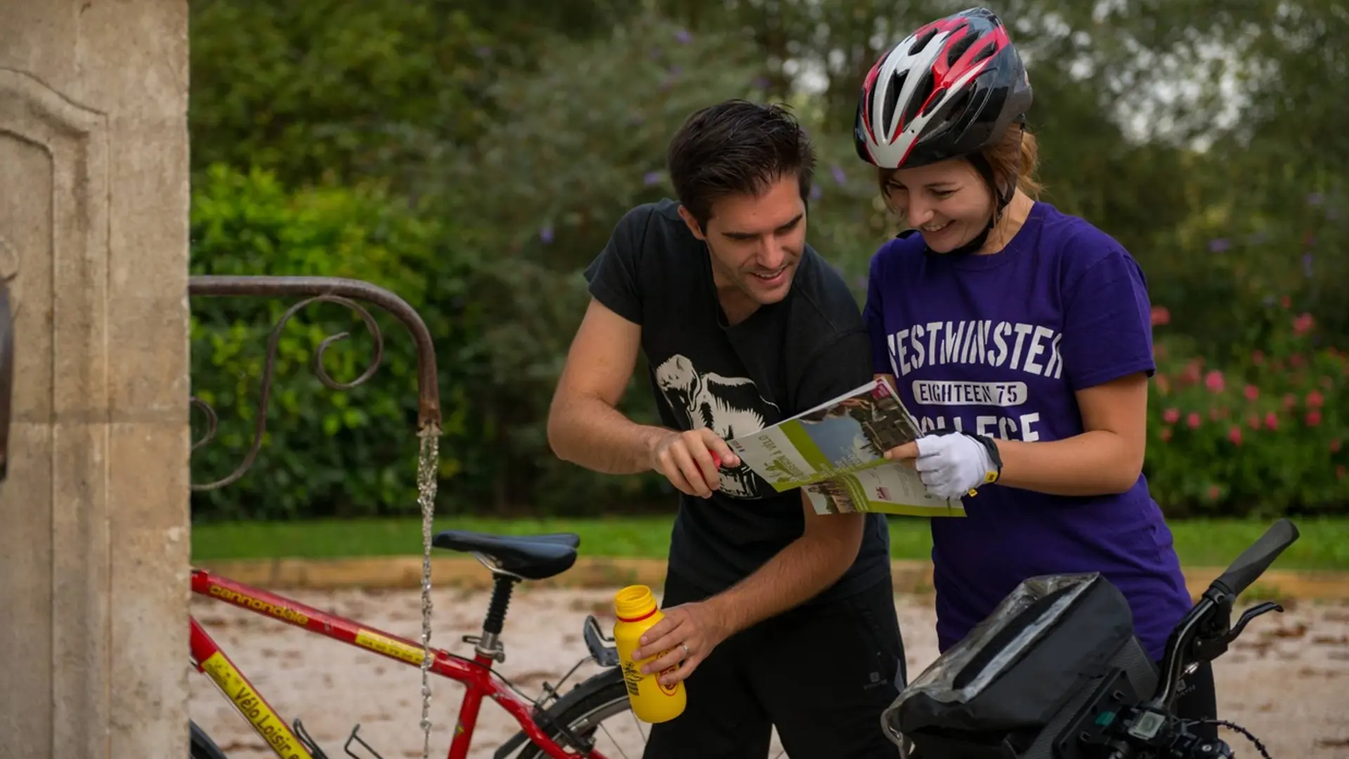
This route takes goes by open road to public traffic ; in all circumstances, it is therefore imperative to respect the code of the road. Wearing a helmet is highly recommended for both children and adults !