- Voir les favoris
See photos (3)
The Pissarotte waterfall
Sport, Pedestrian sports, Hiking itinerary
in Réallon
3.3
km
-
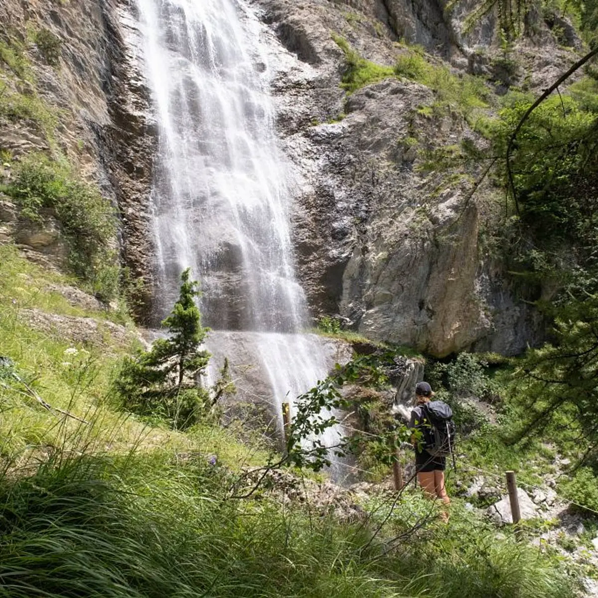
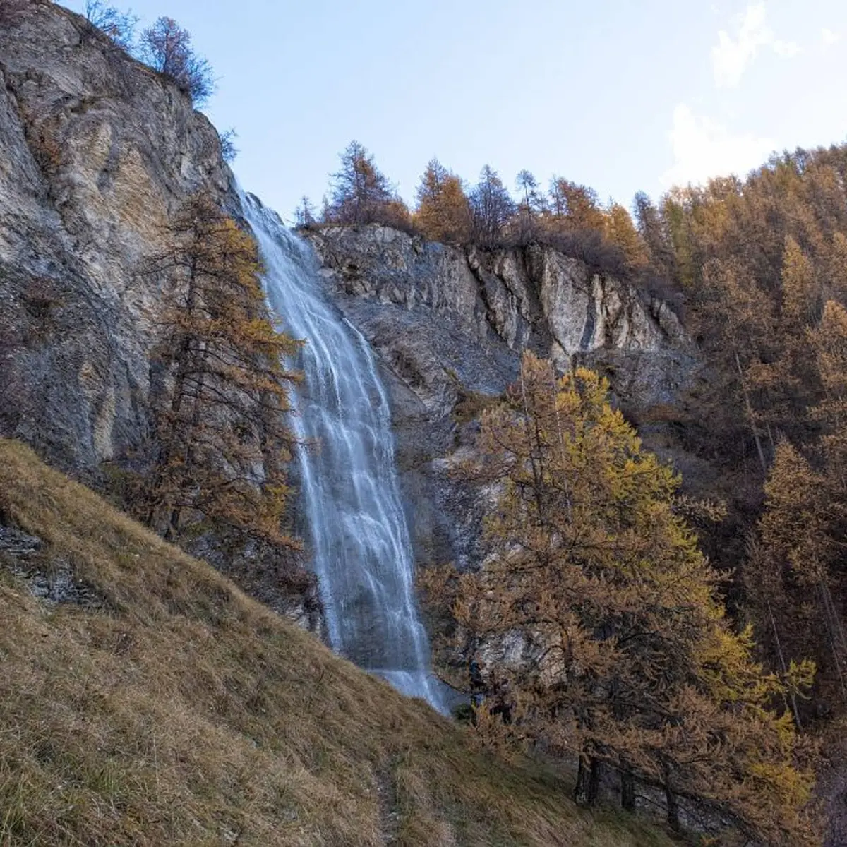
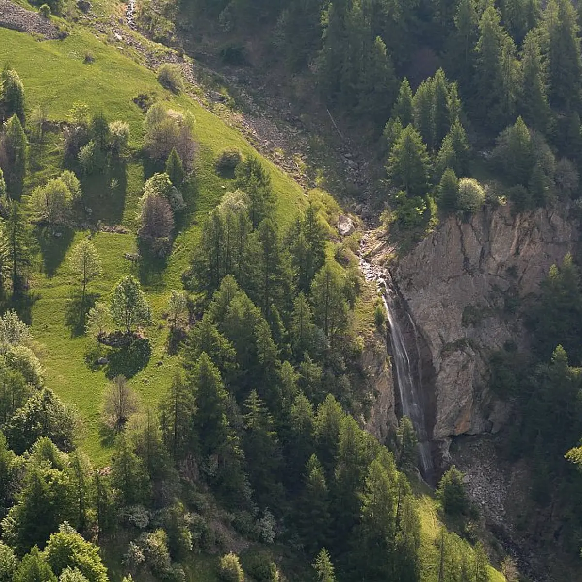
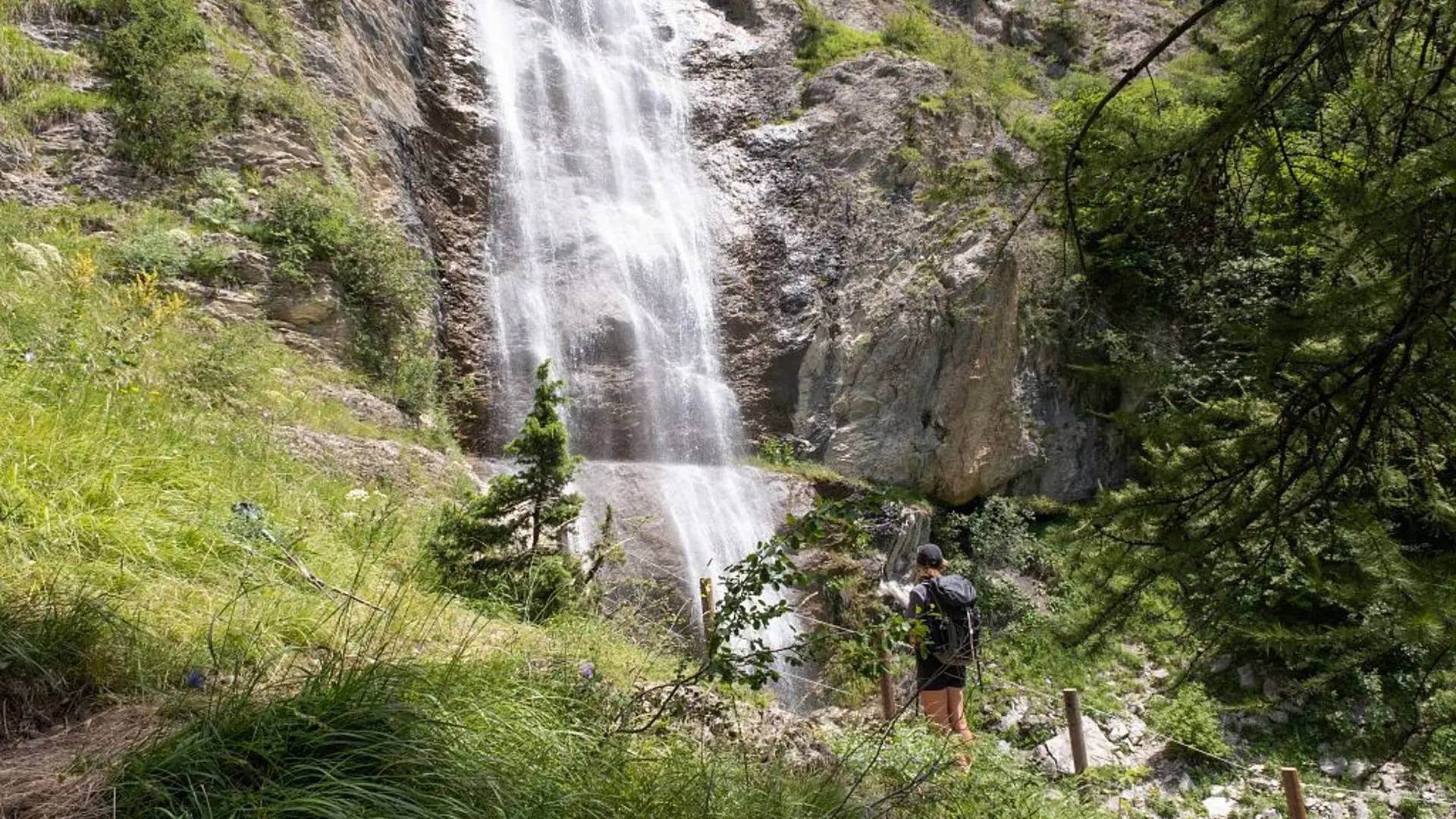
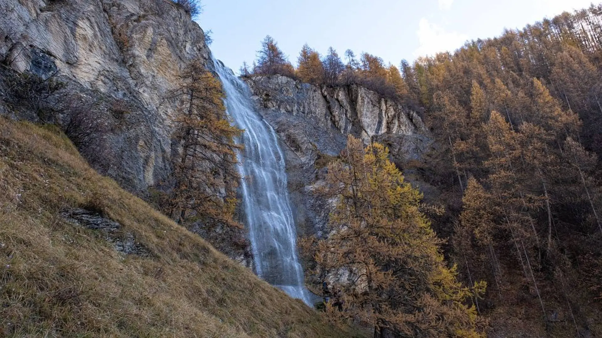
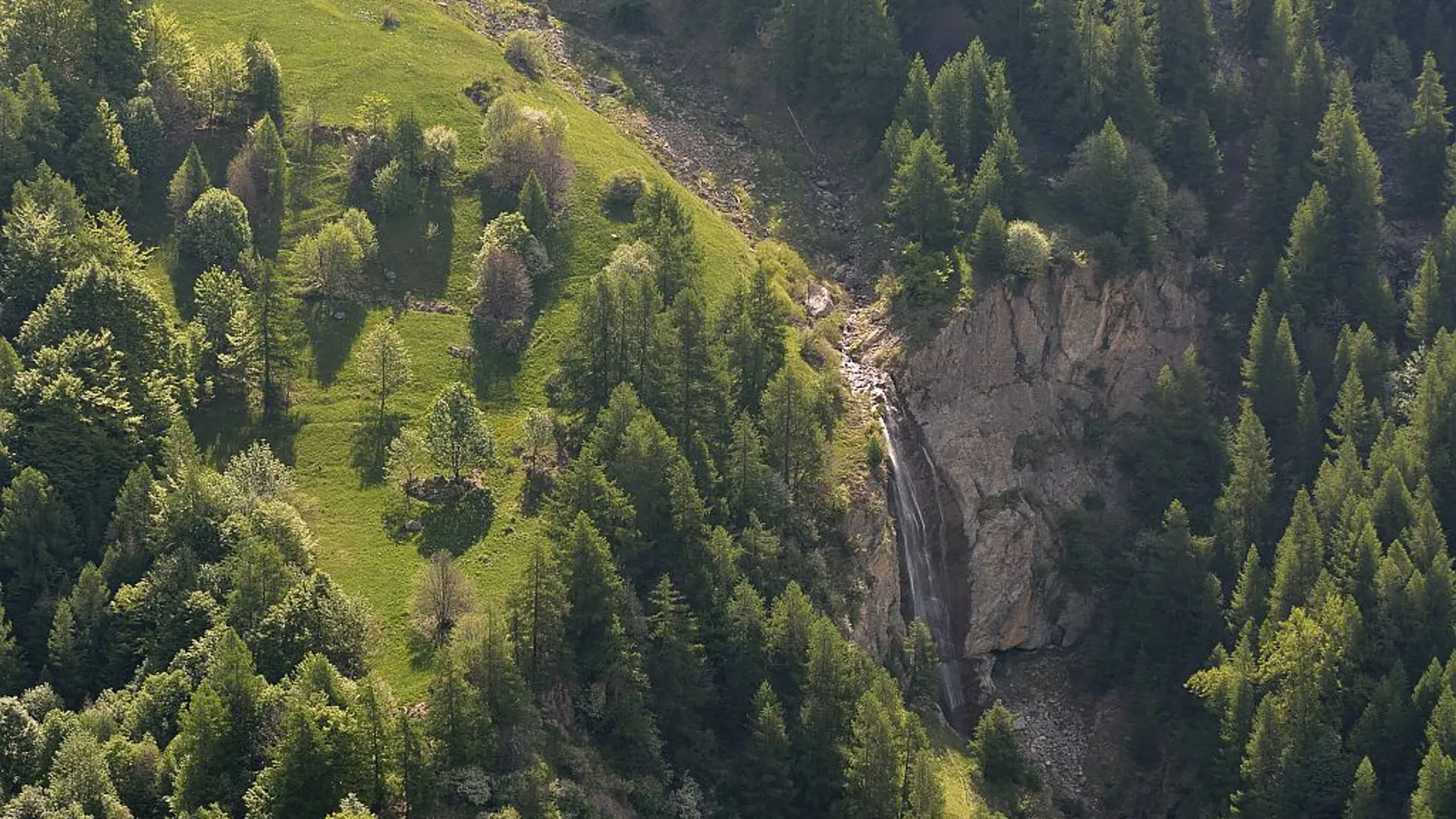
After passing through the small hamlet of Les Gourniers, with its mountain architecture, a shady path leads to a platform from which you can admire this pretty waterfall, which flows all summer long.
-
Head towards the hamlet and cross it, following the signs to the waterfall.
Turn right after the last house, pass the marmite des géants and continue to the bridge over the Réallon stream.
From there, turn left and head up the path.
At the fork with signposts to the waterfall, take the path to the right and follow it to the overhanging platform.
Take the same path back to the bridge, then continue straight ahead on the left bank to reach the car park via the little woodland discovery...Head towards the hamlet and cross it, following the signs to the waterfall.
Turn right after the last house, pass the marmite des géants and continue to the bridge over the Réallon stream.
From there, turn left and head up the path.
At the fork with signposts to the waterfall, take the path to the right and follow it to the overhanging platform.
Take the same path back to the bridge, then continue straight ahead on the left bank to reach the car park via the little woodland discovery trail.
Very easy
- Departure
- Réallon
-
-
Difference in height
- 267.333 m
-
-
-
Departure : Les Gourniers, Réallon.
Arrival : Les Gourniers, Réallon.
Road access : From Savines-le-Lac, take the D41 to Réallon (village). Follow the D241 to the hamlet of Les Gourniers at the bottom of the valley..
Parking recommended : Parking at the hamlet of Gourniers .
- See all reviews
- 267 meters of difference in height
-
- Maximum altitude : 1608 m
- Minimum altitude : 1468 m
- Total positive elevation : 267 m
- Total negative elevation : -261 m
- Max positive elevation : 134 m
- Min positive elevation : -134 m
