See photos (3)

The Poiraque source

Sport, Pedestrian sports, Hiking itinerary in Quinson
14.1 km
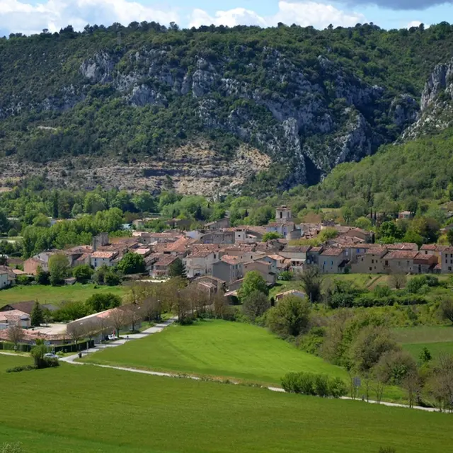
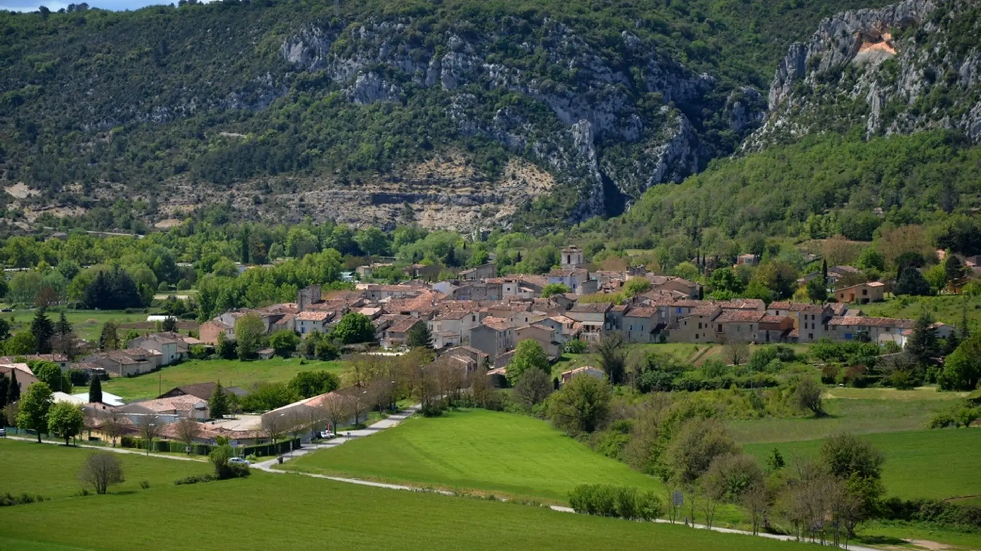
  • This hike allows you to cross the village of Quinson and to discover, on the plateau, the Poiraque source.
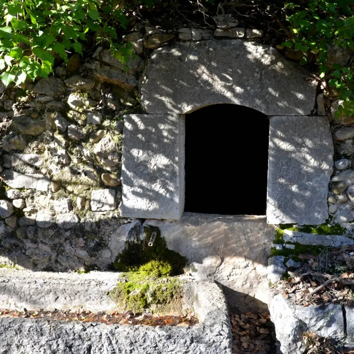
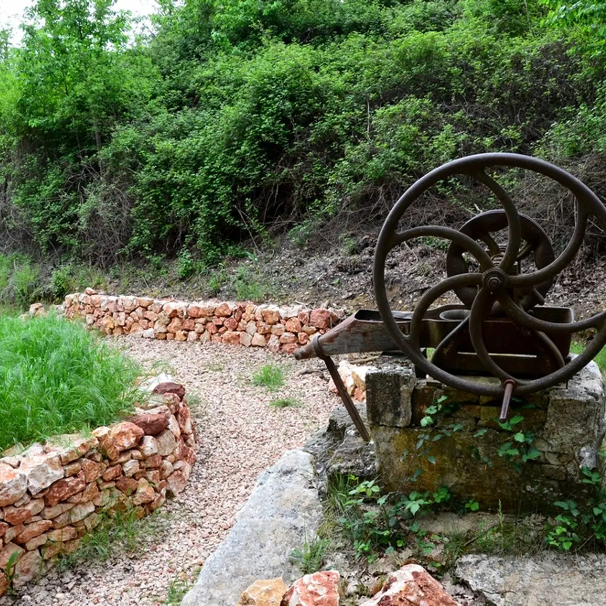
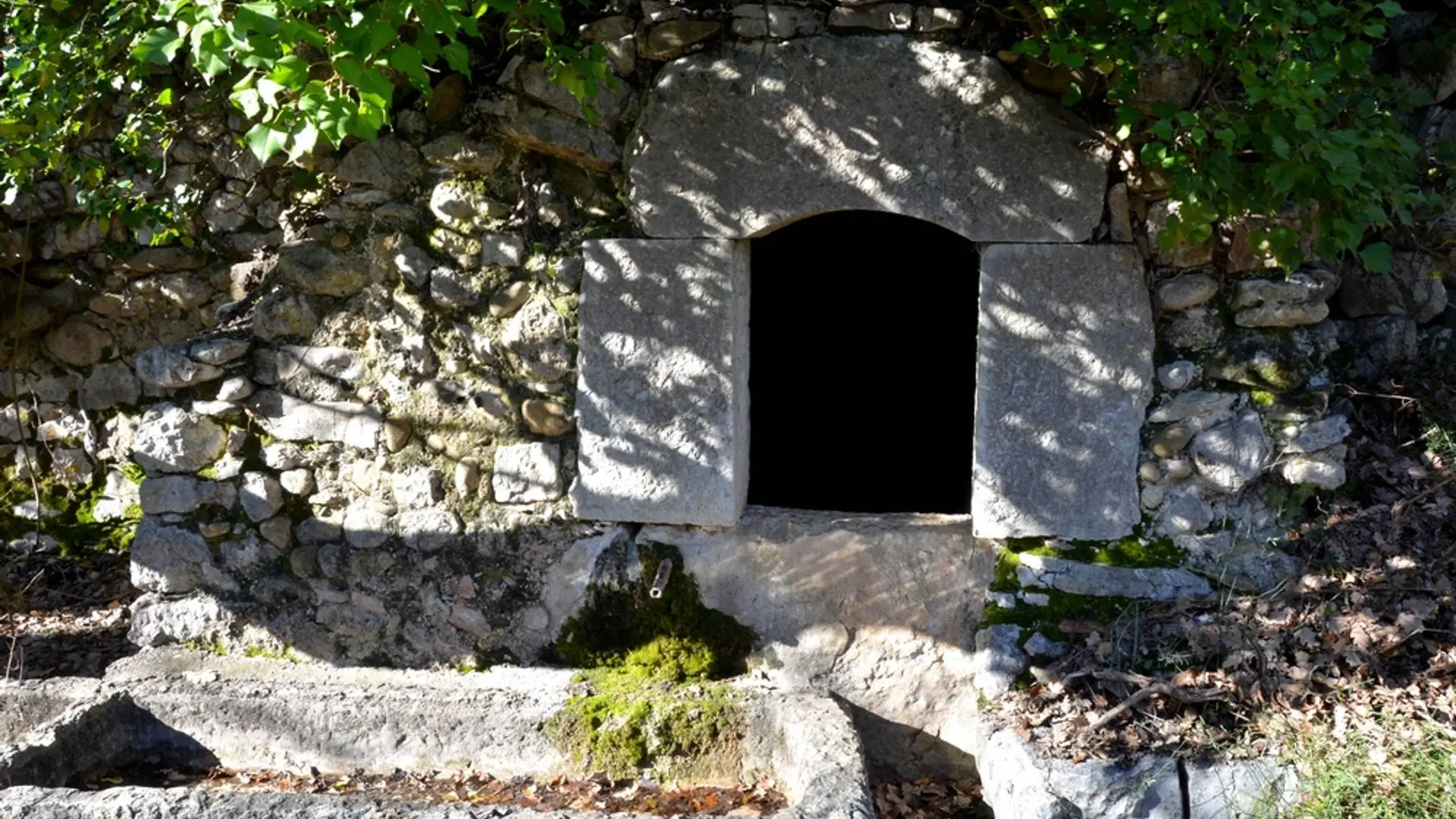
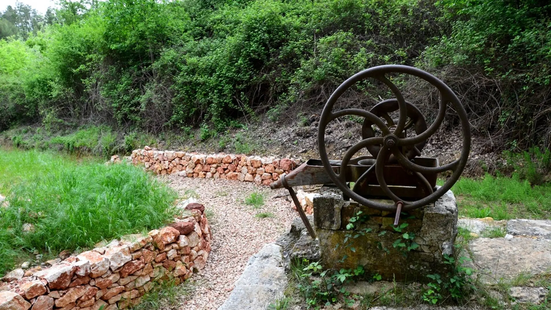
  • Departure: Prehistory Museum car park. Follow the white and red markings of the GR®4.

    From the car park, follow the pedestrian path to reach the Prehistory museum. Enter the village of Quinson by the Esparron de Verdon road.

    1- Go past the town hall, the wash house and, through the rue du Var, reach the Place de la Paix. At the foot of the ramparts, go up the right street (Cours). Follow him to the end.

    2- At the fountain, leave the road to Esparron de Verdon and continue to the right in...
    Departure: Prehistory Museum car park. Follow the white and red markings of the GR®4.

    From the car park, follow the pedestrian path to reach the Prehistory museum. Enter the village of Quinson by the Esparron de Verdon road.

    1- Go past the town hall, the wash house and, through the rue du Var, reach the Place de la Paix. At the foot of the ramparts, go up the right street (Cours). Follow him to the end.

    2- At the fountain, leave the road to Esparron de Verdon and continue to the right in the "Grande Rue". At 90 m, after the fountain turn left, the street "Puits de Ville".

    3- Climb the small steps to the side of the cellar on your left, cross the main road and go straight, follow the path of Maudevencet (white and red mark-up) about 300 m.

    4- Turn left and continue along the Maudevencet valley to the main road.

    5- Cross it and take in front the trail going towards Poiraque. Climb under the oaks and win the path of the Vaudoudurde valley. Follow the route at the bottom of the valley for 500 m then continue, at the first intersection, by a path and turn left. At the edge of the road the source, Vaudoudurde (20 m to the left of the trail), just in front of a large ruin. Higher up on the path go under the pines, go along some olive trees, before joining the plateau.

    6- Get the road to cross it and to take the track in front (leave the GR and follow the yellow markings PR), walk the lavandins fields on the right then 400 m further, to join again some vines plants on the left and quickly you will get to a small wooded area. Stay at the edge of the forest. After a hundred meters, the path goes down to the fields continue to the forest on the left.

    7- Then turn right and join the Poiraque source located just below.

    8- The return is made by the same itinerary.

    Easy
  • Departure
    Quinson
  • Difference in height
    426.667 m
  • Departure : Prehistory car park.
    Arrival : Prehistory car park.
    Parking recommended : Parking de la préhistoire .
  • Documentation
    GPX / KML files allow you to export the trail of your hike to your GPS (or other navigation tool)
427 meters of difference in height
  • Maximum altitude : 556 m
  • Minimum altitude : 361 m
  • Total positive elevation : 427 m
  • Total negative elevation : -241 m
  • Max positive elevation : 186 m
  • Min positive elevation : -184 m