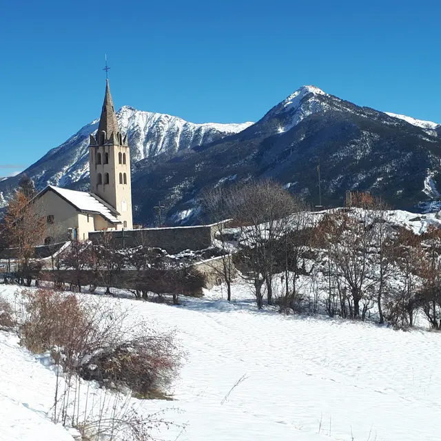
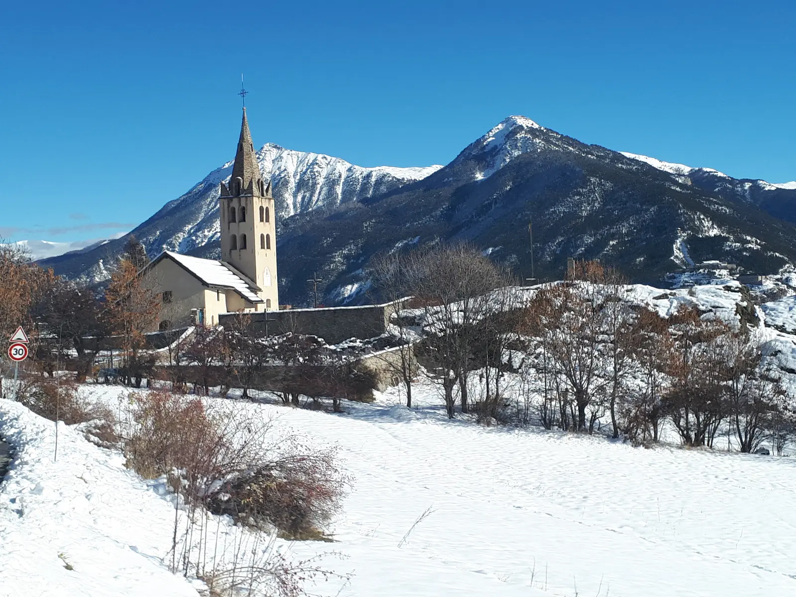
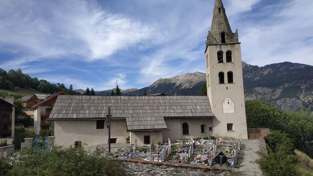
A balcony hike offering breathtaking views over the Durance Valley. On your return, visit the village of Puy-Saint-Pierre and its farm: feast on the various regional products.
To do this marked snowshoe hike, you'll need to take the Prorel gondola and get off at the first section.
However, you can get back on the marked itinerary by driving to Puy-Richard.
Once off the first section, turn left away from the ski area and follow the snowshoe itinerary opposite the ski lifts. The itinerary is marked with purple milestones.
The trail rises gradually before descending to Puy-Richard.
The itinerary then descends to the heights of Puy-Saint-Pierre before returning to your starting point via the Ferme de Pra Long.
This course is located in the heart of the ski area. Watch out for nearby skiers. On courses adjacent to ski runs, keep to the edge of the run and before crossing a ski run, make sure no skiers are coming from upstream.
Take into account the approximate journey times. Before embarking on a route, find out when the ski lifts close, so that you arrive in good time for the last run, ensuring your return to the valley.
Before setting off, check that the weather conditions are favorable and observe the following safety instructions:
- Stay on the marked itineraries
- Don't set off if there's a risk of heavy snowfall.
- If you're setting off alone, tell someone about the route you're taking and make sure your cell phone is charged.
- Choose a route suited to your skill level
Routes are not closed in the evening, but are used at the walker's own risk.