Detailed itinerary :
1. From the church square in Puy-Saint-Pierre, take the small tarmac road opposite the church, which climbs two hairpin bends to reach the Pralong farm.
2. A few metres after the farm, take the wide track. After about 100 m, take the footpath rising to the left, signposted "Notre-Dame des Neiges et ses oratoires". The narrow path leads to a track: on the right, you can see the Prorel ski lifts. Ignore the right-hand track and follow it to the left for around 100 m.
3. On the right, pick up the narrow path leading to the first oratory: Sainte Marie (alt: 1700m) . At this first oratory, continue straight ahead to cross the track a second time and reach the Etoile du Matin oratory (alt: 1840m).
4. Follow the path to the left to reach the Serre Pelat ski lift. Ignore the left-hand path in the direction of the combes, and pass under the ski lift again, near the Saint-Joseph oratory (Alt: 1950). The path then continues to pass a 4th oratory-fountain of Notre-Dame de Bon Rencontre, then bends to the left to pass under the ski lift one last time.
5. After leaving the ski lift, the path crosses a flat area (wetland in places) to pass the 5th oratory, Saint Hubert. The route then winds up a steep slope through scree to reach the chapel on a ledge.
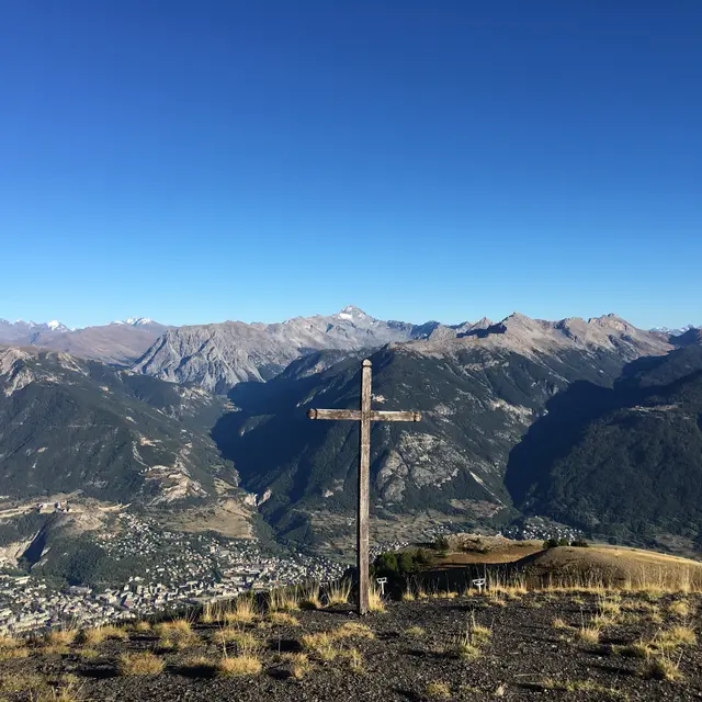
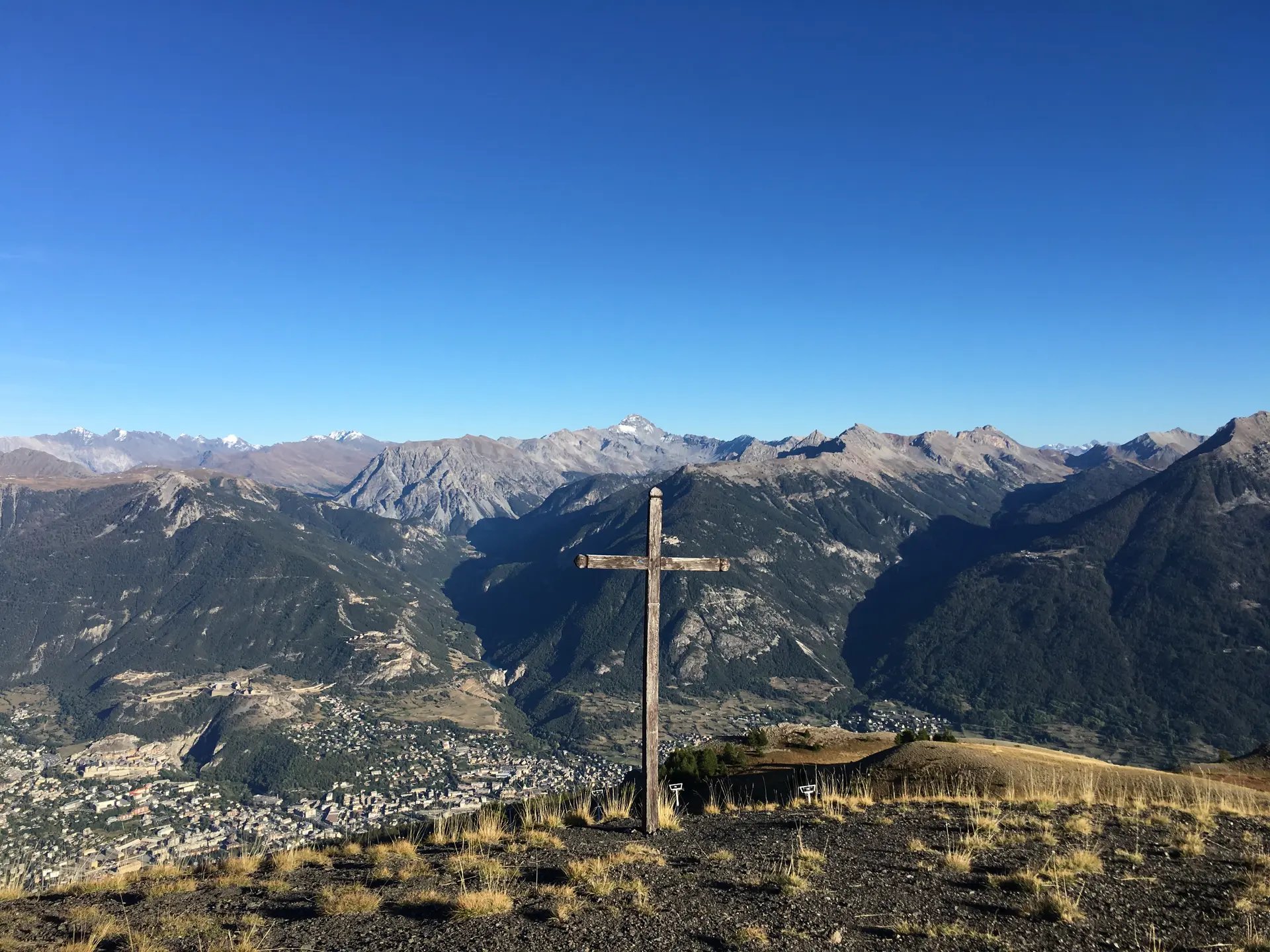
6. At the chapel, take the path just behind. It crosses the wide ski slopes to the end of the ski lifts, then twists and turns up to the summit.
7. Return by the same route to the oratory-fountain of Notre-Dame de Bon Rencontre. Once there, take the left-hand path, which gradually descends to join the Prorel trail, which leads to Ferme de Pralong, before returning to the church.
During the summer season, this hike can be done from the Prorel Télécabine arrival station (3km return - 190m ascent).
Read more