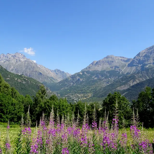
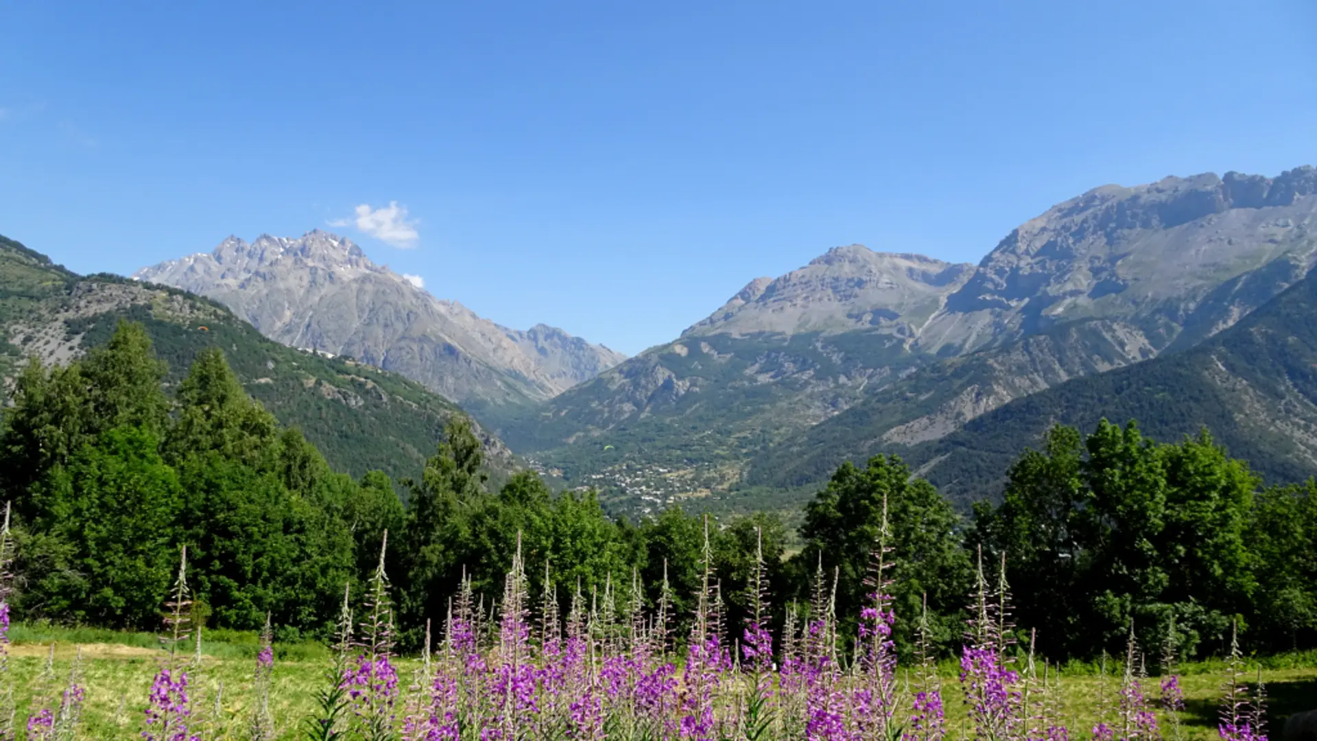
Waysigning: follow the heritage path signs for Les Prés-Saint Romain (« Sentier du patrimoine – Les Prés – Saint Romain »)
A large sign “Sentier du Patrimoine” on the D4 just before you enter Puy Saint-Vincent indicates the start of the path. Head towards the track lower down which runs level below the various hamlets of Puy Saint-Vincent, alternating between meadows and groves of trees.
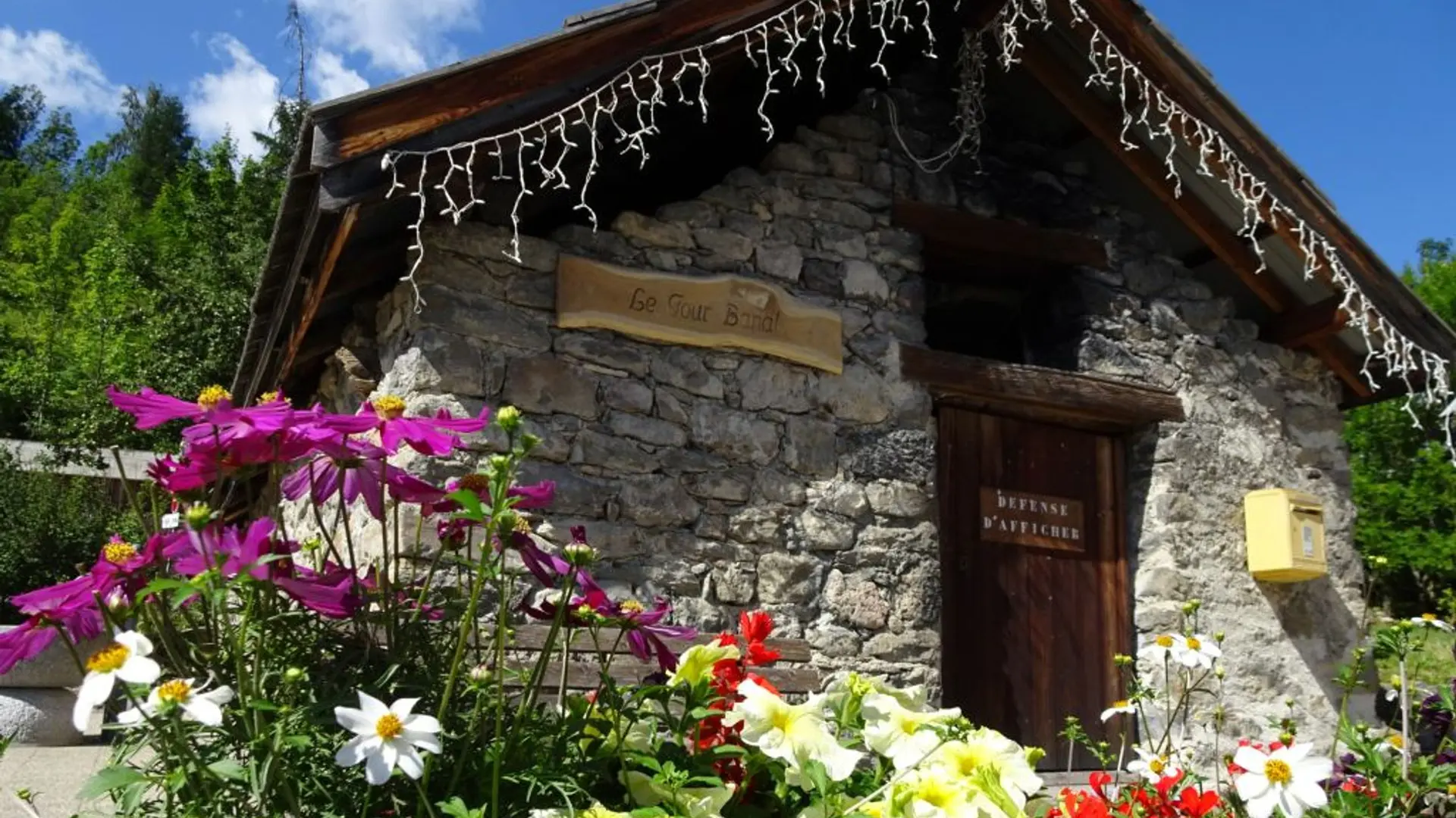
At the crossroads with the D4, go through the hamlet of Le Puy, past the communal oven and the church.
On the D4, take the road running downhill past some wooden guardrails and then continue straight ahead until you come to the Chapelle Saint-Romain.
At the Chapelle Saint-Romain, turn back on yourself and follow the outward route in reverse. At the “Sentier du Patrimoine” sign you passed at the beginning of the trail, you can continue the itinerary as far as the hamlet of Les Prés by taking the footpath on the left just after you enter Puy Saint-Vincent. Carry on to the large multi-storey car park. Skirt around it by taking the stairs and carry straight on towards Les Prés.
At the crossroads, fork left and then continue straight ahead until you come to the Chapelle Sainte Marie Madeleine.
Very easy
Read more