This long loop linking the Col du Chardonnet to the Col des Béraudes below the tête de Cassille allows you to discover the remains of the Chardonnet mines while enjoying an incredible view of the Écrins massif, ending at the Lac des Béraudes.
From the Fontcouverte parking lot, cross the campsite opposite to join a wide track on the left. The entrance to the trail leading to Le Chardonnet is indicated by a large sign at the entrance.
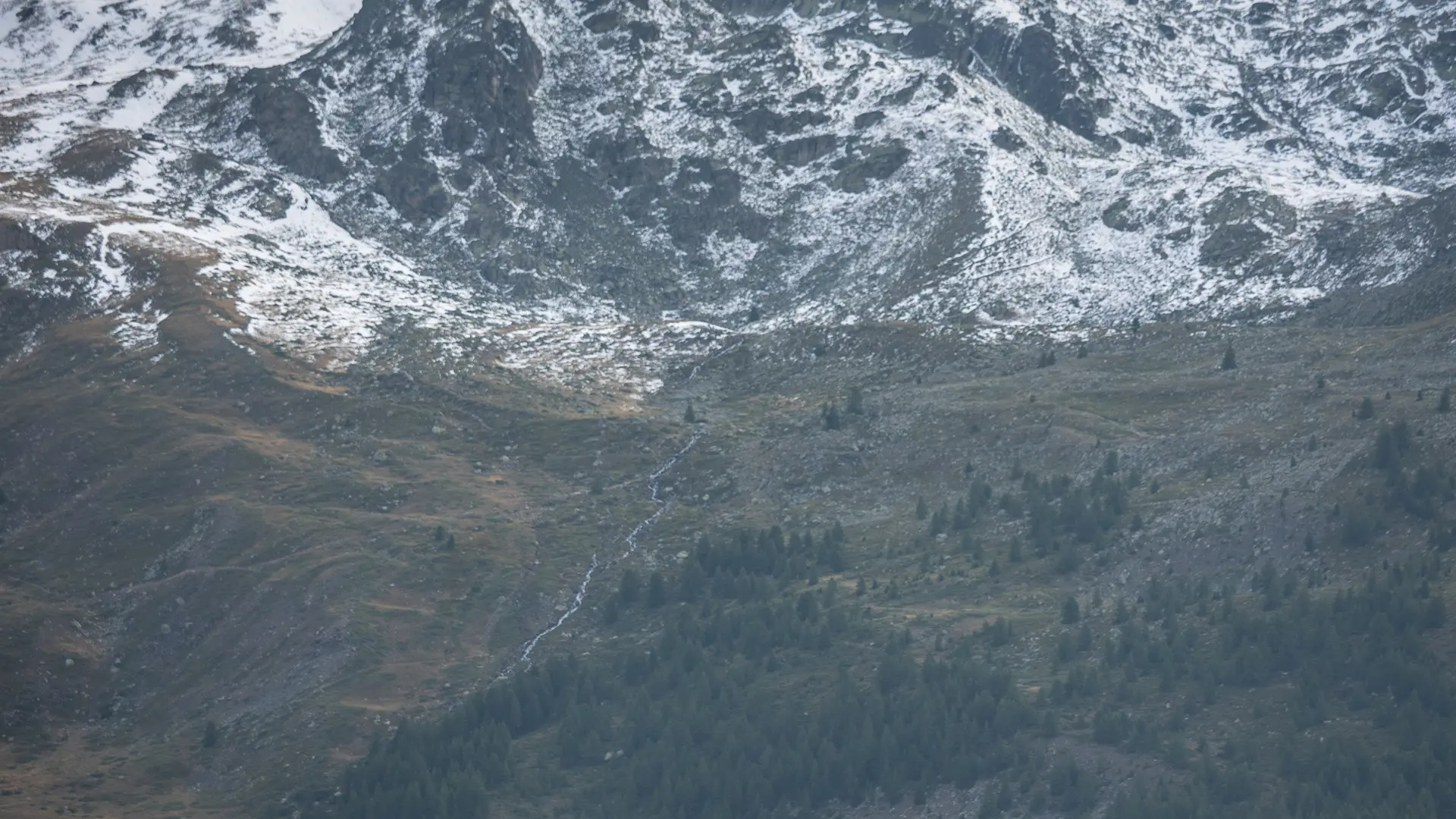
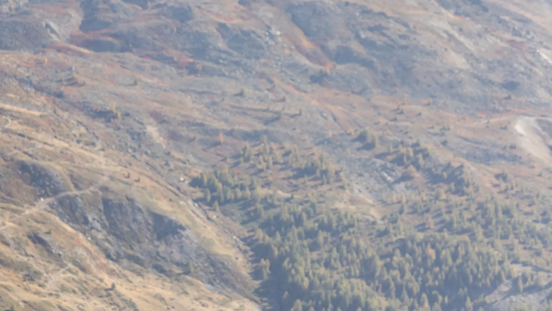
The route rises gradually on a gravel path through a larch forest, following the GR57, and soon reaches the Laraux chalets.
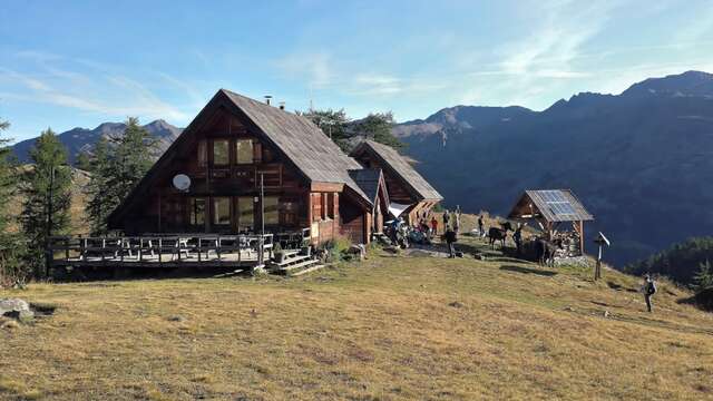
Near the last chalets, ignore the left-hand path and follow the GR57 up through the meadow and valley of the Bois des Alberges until you reach the Refuge du Chardonnet.
Approx. 400 m after the refuge, ignore the left-hand path and cross the bridge over the Ruisseau du Raisin: the path then rises steadily to climb the rise overlooking the vast Chardonnet alpine marshland.
The trail then skirts around the Chardonnet wetland to the left, then gradually rises up the mountainside following old electricity poles through alpine grassland to the pass.
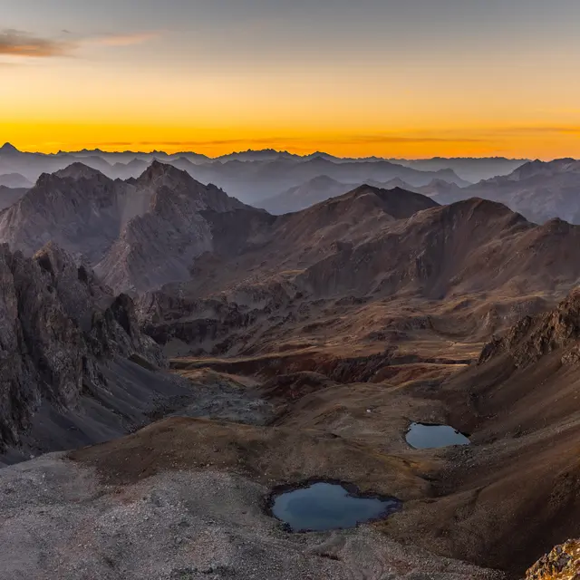
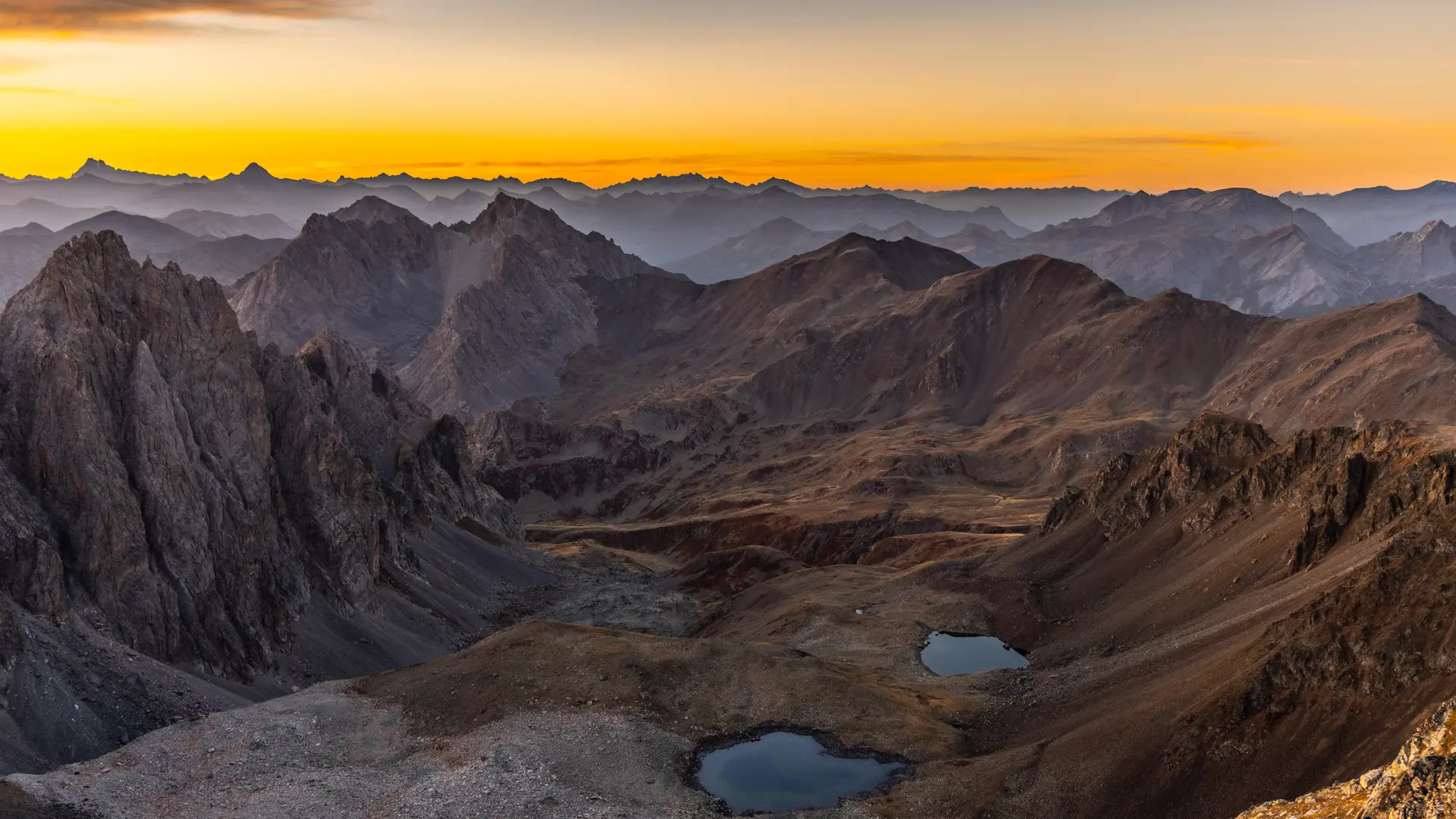
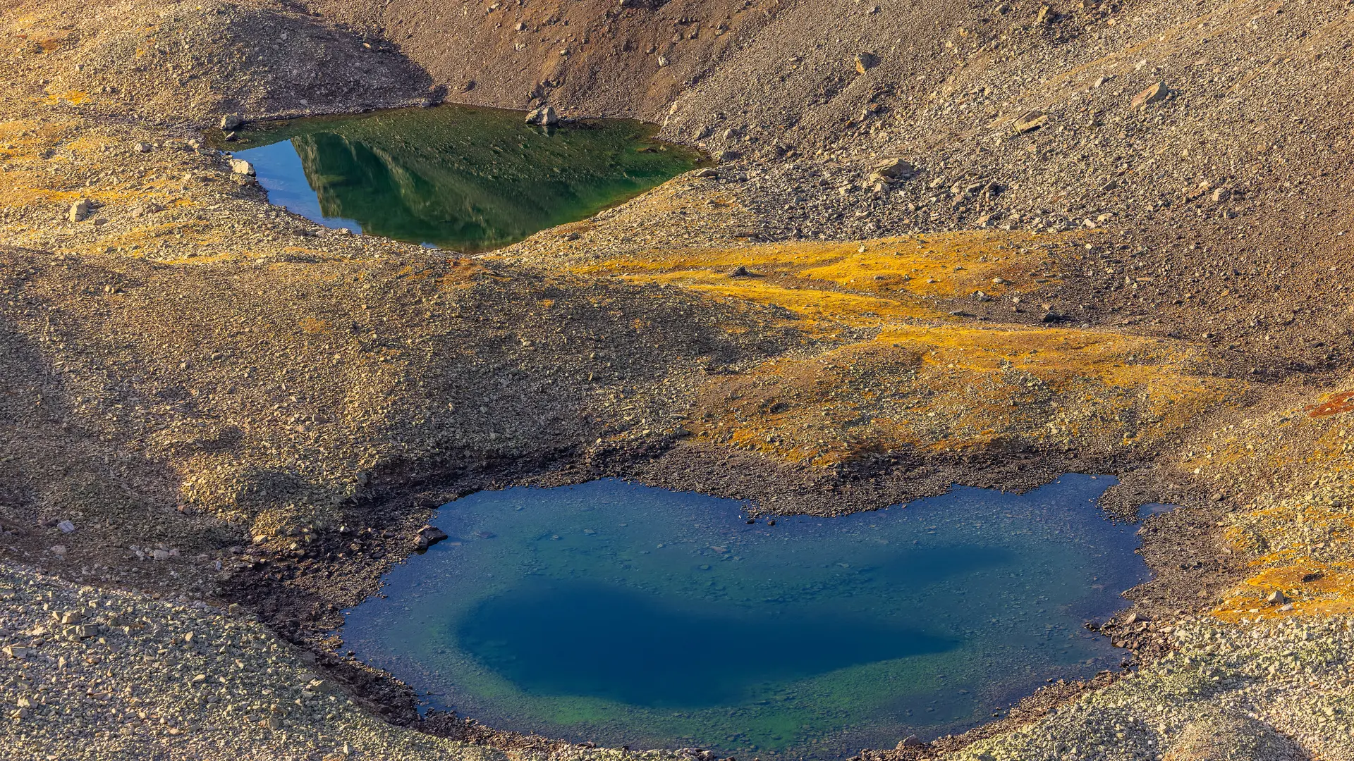
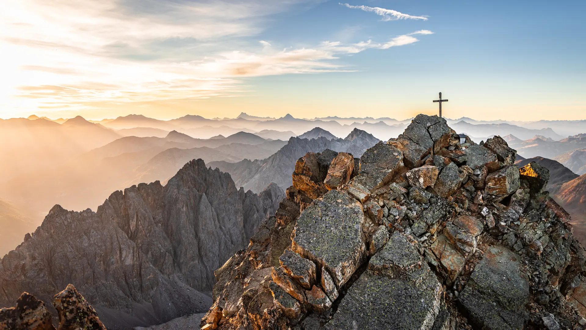
Just before the pass, take the right-hand path. This leads over the Lac de la Mine to the Col du Chardonnet Nord and the old mines.
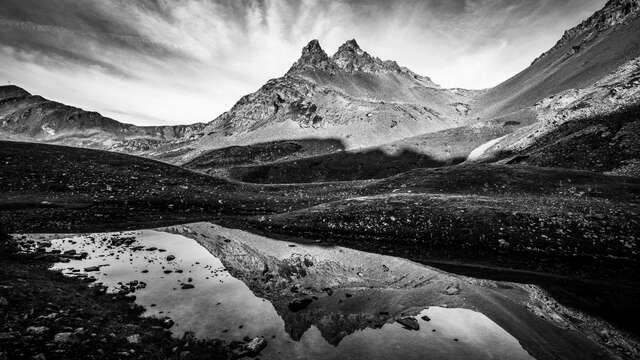
Once at the col, the path changes to the other side, passes under the remains of a mine, and continues for 2.4 km through a vast scree under the tête de Cassille to reach the Col des Béraudes.
Under the Roche des Béraudes, at the fork in the road, take the right-hand path, which rises steeply to reach the Col des Béraudes.
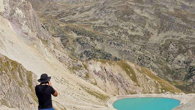
Cross the pass and start descending this imposing scree until you reach the Lac des Béraudes weir. At the weir, continue downhill towards the valley floor to reach the Pont du Moutet.
Cross the Pont du Moutet to reach the Laval parking lot. Follow the D301T for just under 300 metres, then, once over the footbridge, leave the road to follow a path along the Ruisseau de Saint Jacques in the direction of the Clarée. The path soon comes to a small footbridge: cross the footbridge to rejoin the path on the right bank of the river.
Follow this right-bank path (ignore the Roche Noire bridge) to reach the hamlet of Fontcouverte.
The path joins the D301T near the Pont du Jadis: follow the asphalt road back to the starting point.
In June, some high-altitude passes are still difficult to negotiate and are therefore not recommended: be sure to check their snow conditions before setting off.
Pets welcome In the Clarée, dogs must be kept on a leash on all trails, for reasons of wildlife protection, but also to ensure cohabitation with herd protection dogs.