See photos (6)

The Rochers des Mourres

Sport, Pedestrian sports, Hiking itinerary in Forcalquier
10.0 km
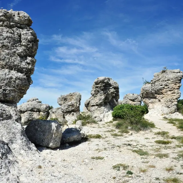
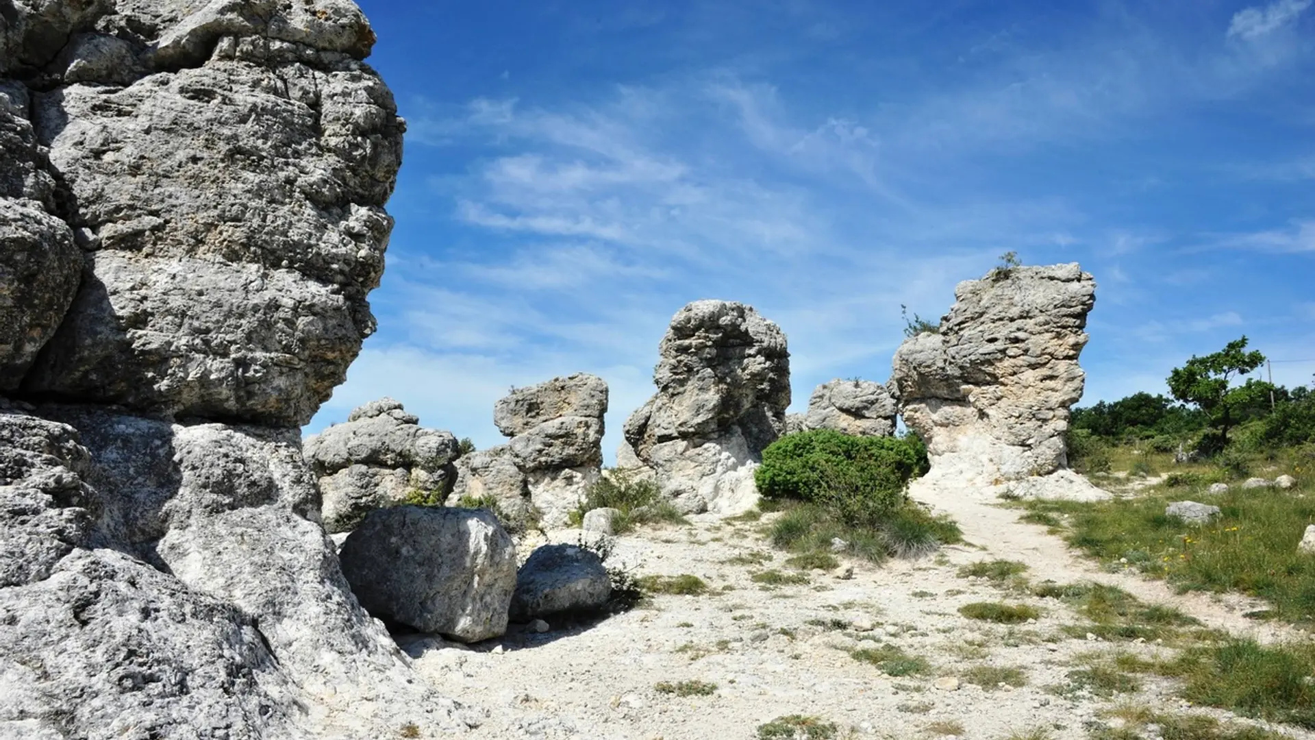
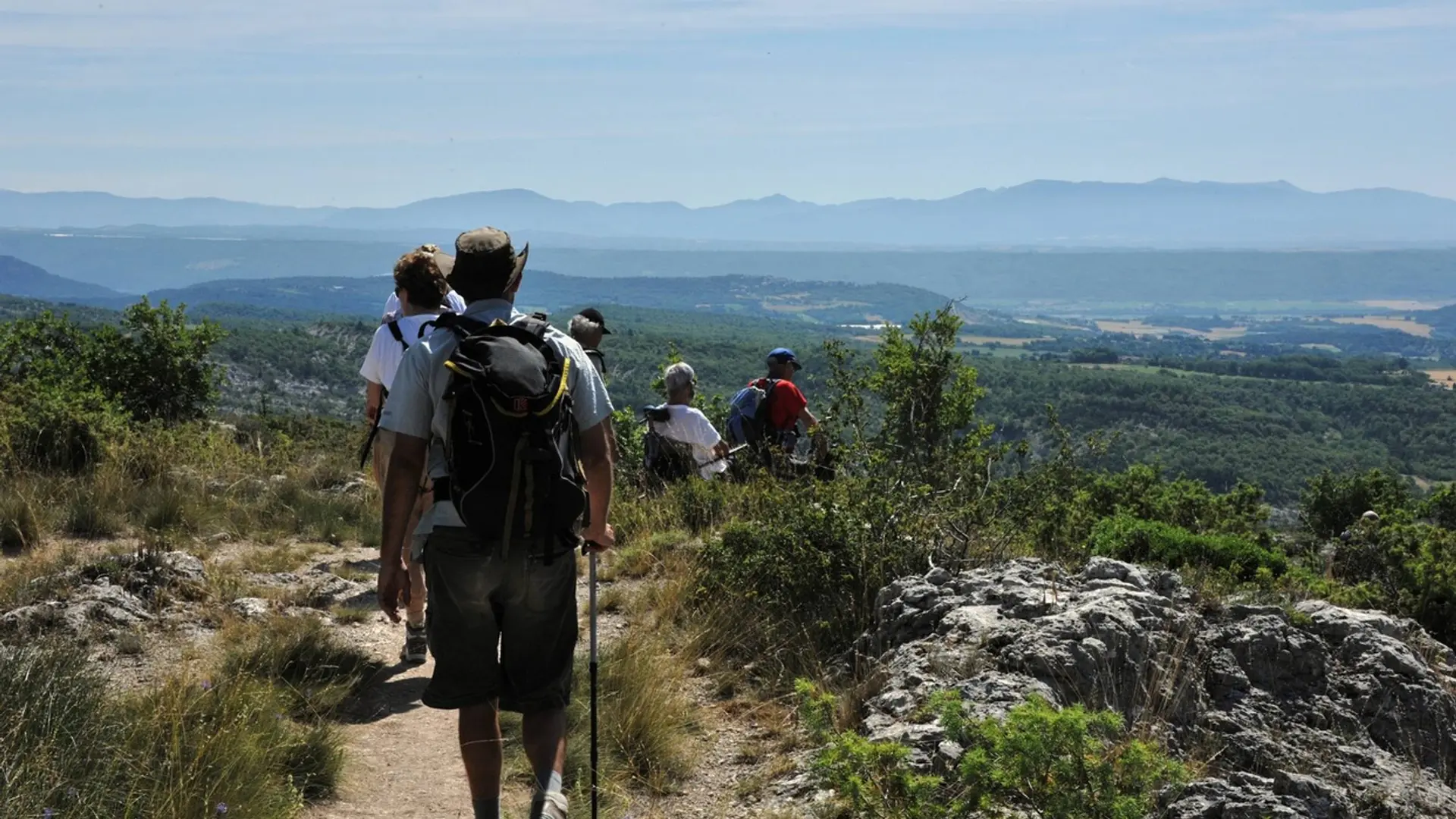
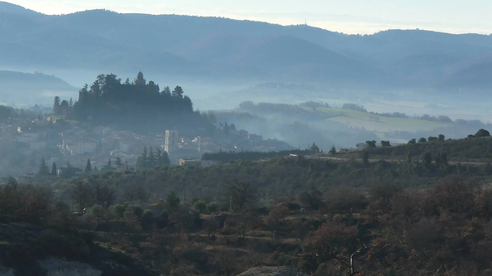
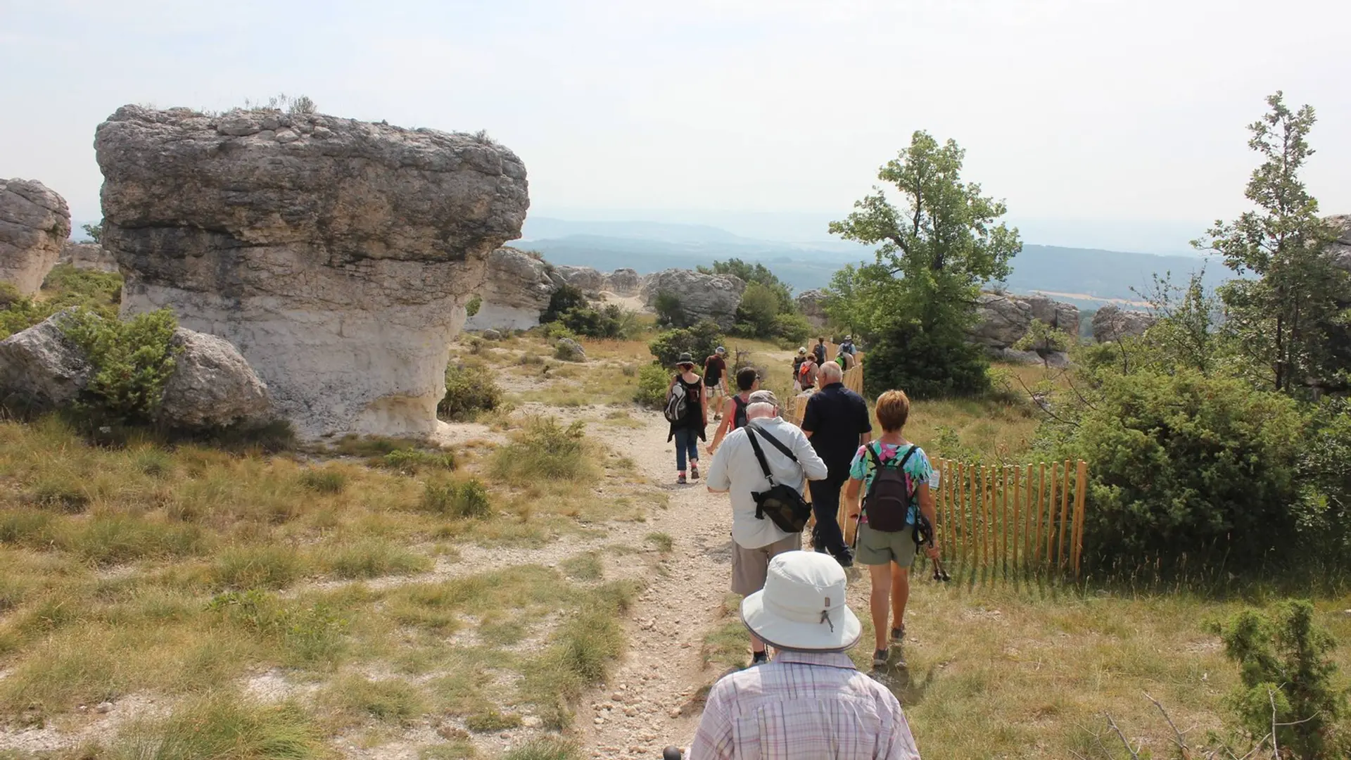
  • A trail that joins the protruding and strange rocks of Mourres since the joyfull city of Forcalquier. A must-see!
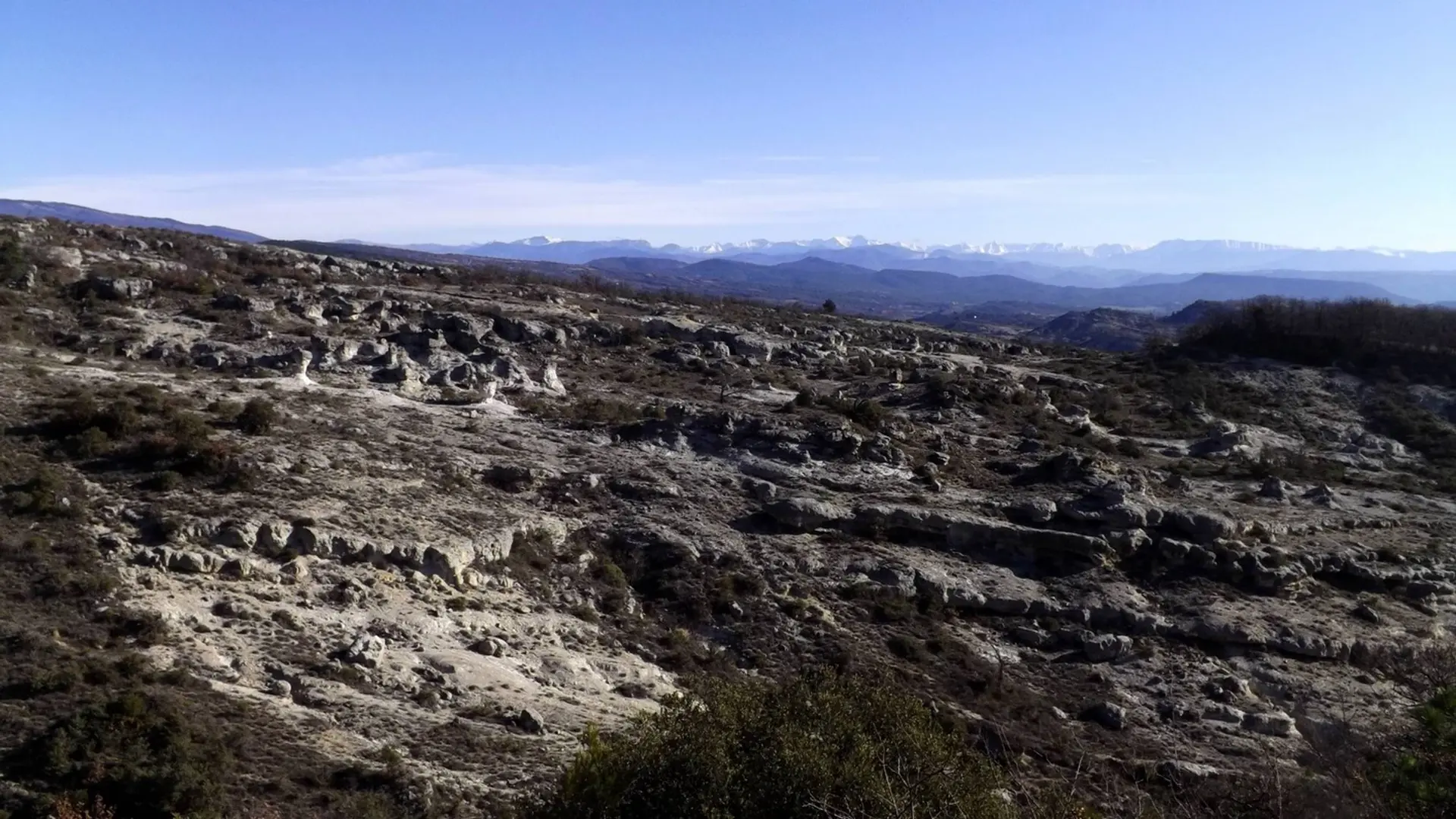
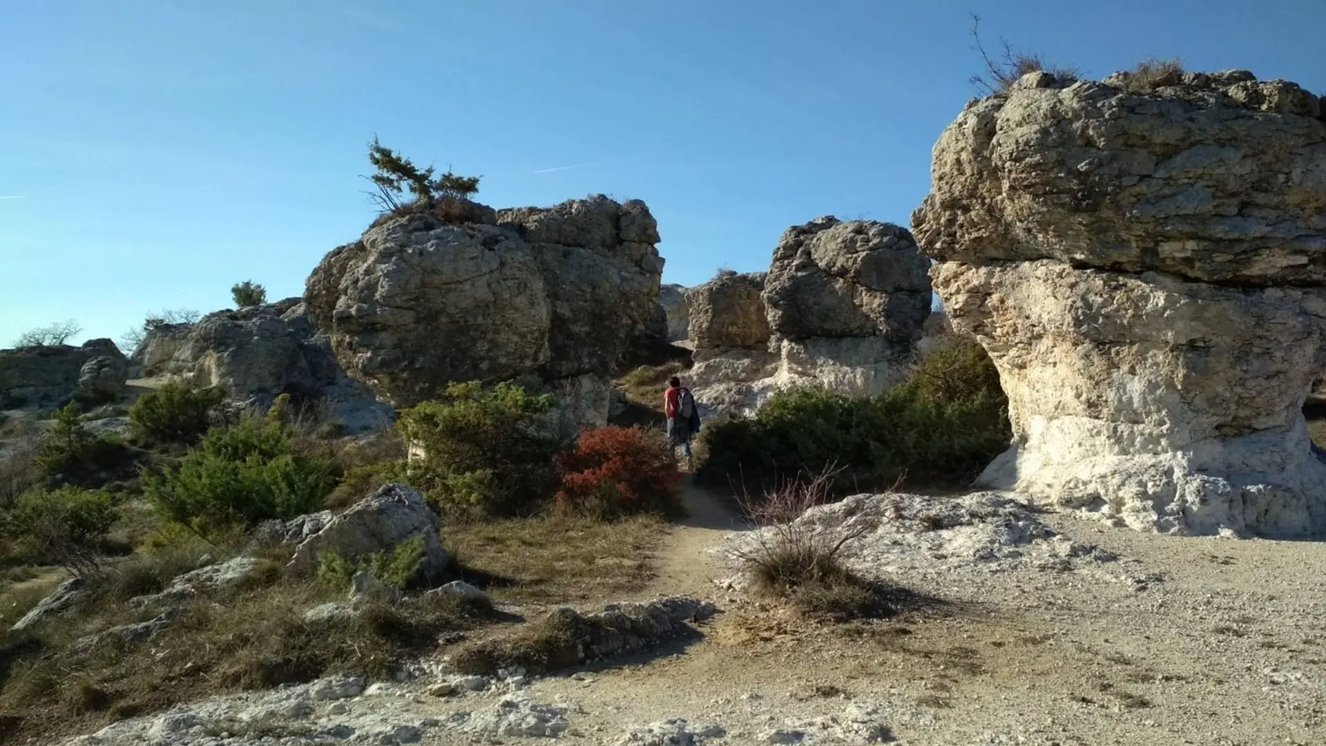
  • With your back turned to the tourist office, at the Bourget town square, go left on the Marcel-André avenue and go straight until the intersection of the Route de Fontienne (D12). Continue across on the Saint-Marc avenue (RP). At the end of the 1st curve, go slightly to the right into a narrow street. Exceed the water tower that points to the left and cross a narrow passage between two walls. Turn right before the Saint-Marc chapel. Remain to the right on the ascending path.  Pass the last...
    With your back turned to the tourist office, at the Bourget town square, go left on the Marcel-André avenue and go straight until the intersection of the Route de Fontienne (D12). Continue across on the Saint-Marc avenue (RP). At the end of the 1st curve, go slightly to the right into a narrow street. Exceed the water tower that points to the left and cross a narrow passage between two walls. Turn right before the Saint-Marc chapel. Remain to the right on the ascending path.  Pass the last houses and 200m further, go left to follow the trail that goes below the aerials (antennas). Reach lower down the crossroads "La Parise".
    1 - Continue straight. Quietly go up the trail, continue on a wider path and reach the crossroads "Le Grand Travers."  Continue straight, pass the information panels and 70m further, reach the the crossroads of Mourres to the right.
    2 - Turn right and follow carefully the markings of the path between the rocks. Go towards the left and then down to the car park at the roadside (D12). Cross the road and go across on the path descending downstream on the Mourres site. Further down, do not to miss the path on the right (signpost). Reach the bottom of the ravine and cross. On the other side, advance 50m left on a clear path, then turn immediately right to climb the stony steep path (marking barely noticeable). Go up the winding paths and come out on the road. Go across and reach the crossroads "Ravin de La Parise" just above.
    3 - Take a sharp left, out on the D12, take a left turn on 250m in front of the farm. Lower down at the next intersection, continue down to the right along the olive groves and the cemetery to come out on Chemin des Moureisses. Go straight down, reach the Fontauris avenue. Turn right, go past a nursery school then turn left onto the L. Andrieux to return to the Bourget town square.

    Easy
  • Departure
    Forcalquier
  • Difference in height
    401.621 m
  • Departure : Tourist Office, Forcalquier.
    Arrival : Tourist Office, Forcalquier.
    Road access : At 23km north of Manosque, through the D13..
    Parking recommended : Car park on Verdun avenue, below the tourist office .
    Public transport : Limitons les déplacements en voiture, pensons aux transports en commun et au covoiturage. Tous les transports en commun sur www.pacamobilite.fr .
  • Documentation
    GPX / KML files allow you to export the trail of your hike to your GPS (or other navigation tool)
402 meters of difference in height
  • Maximum altitude : 732 m
  • Minimum altitude : 544 m
  • Total positive elevation : 402 m
  • Total negative elevation : -317 m
  • Max positive elevation : 186 m
  • Min positive elevation : -121 m