
See photos (3)
The Roman bridge path
Sport, Pedestrian sports, Hiking itinerary
in Lurs
8.6
km
3h 15min
Medium
-
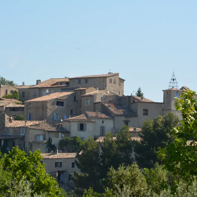
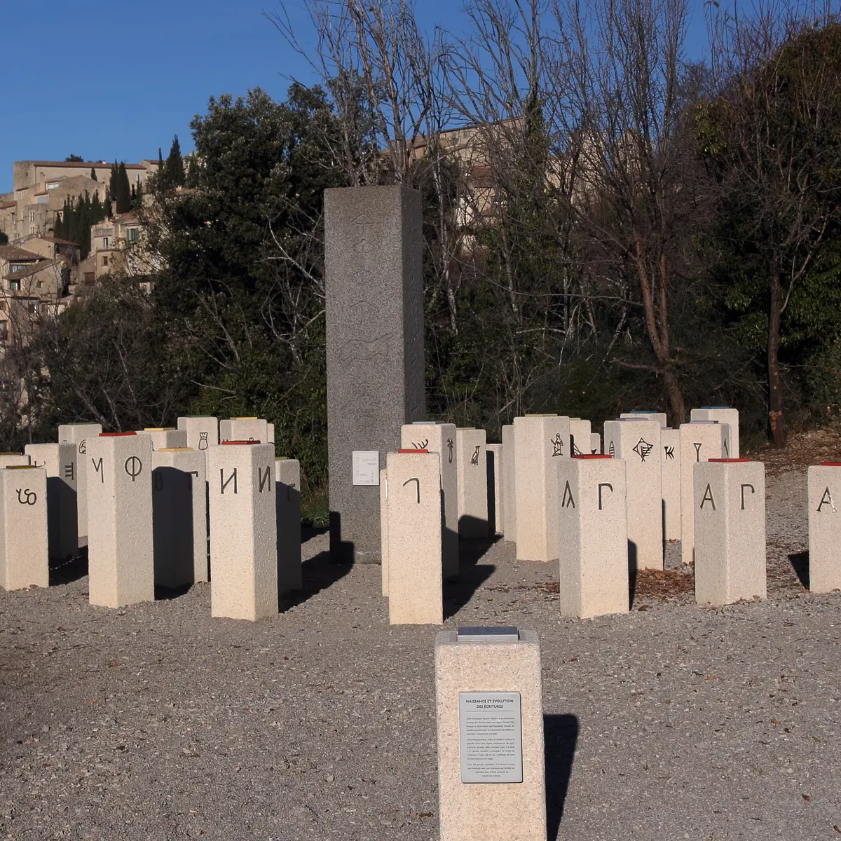
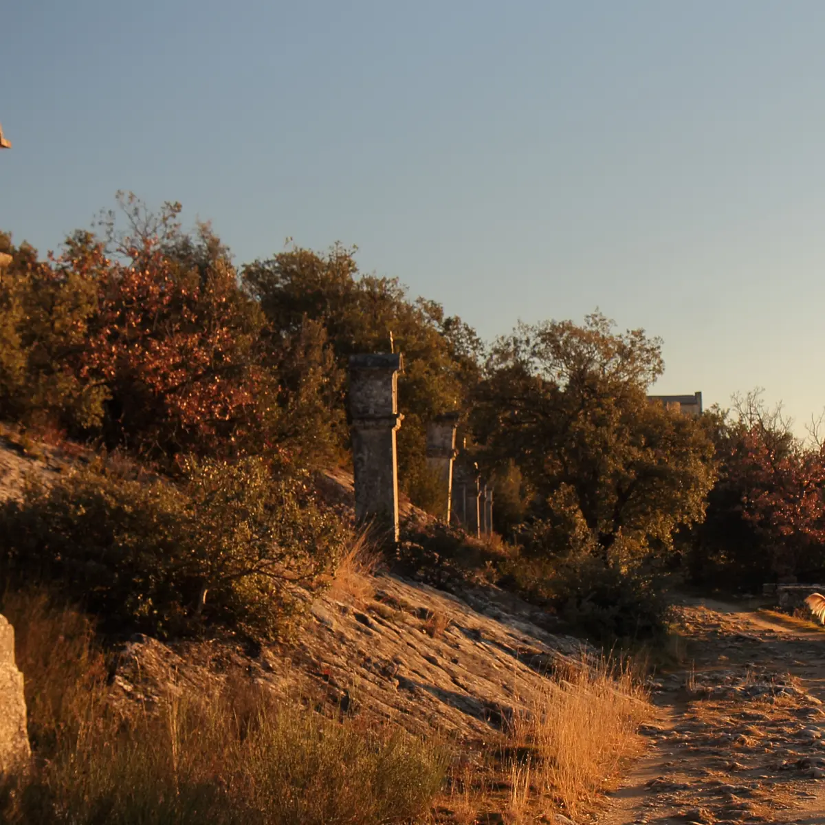
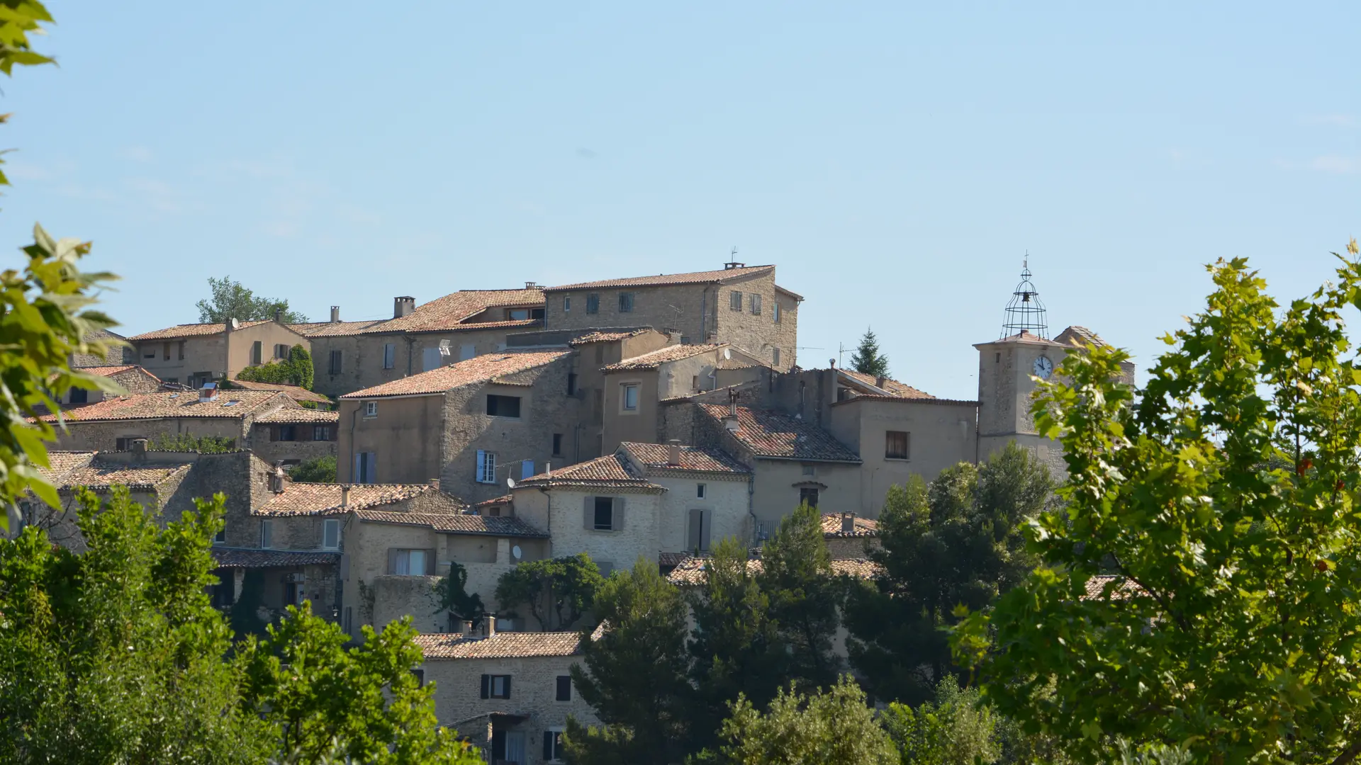
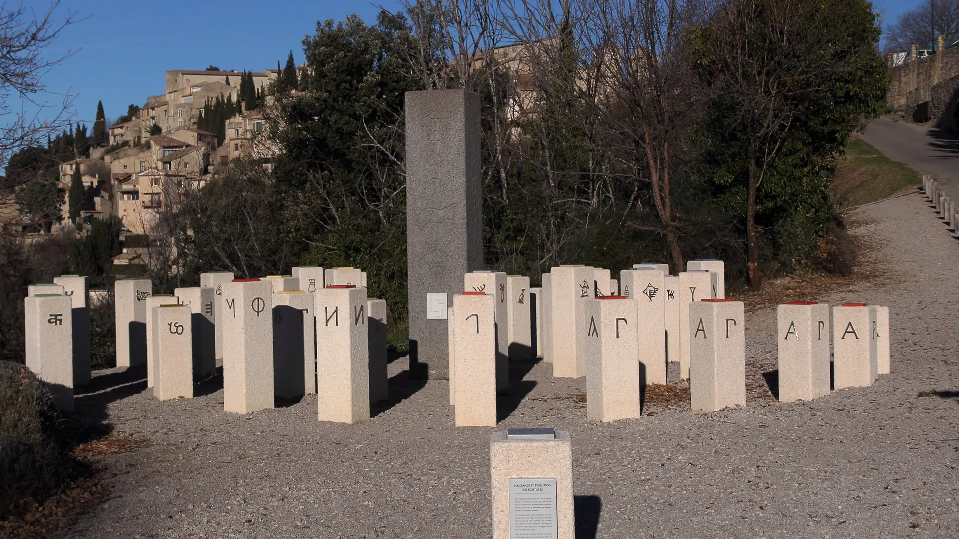
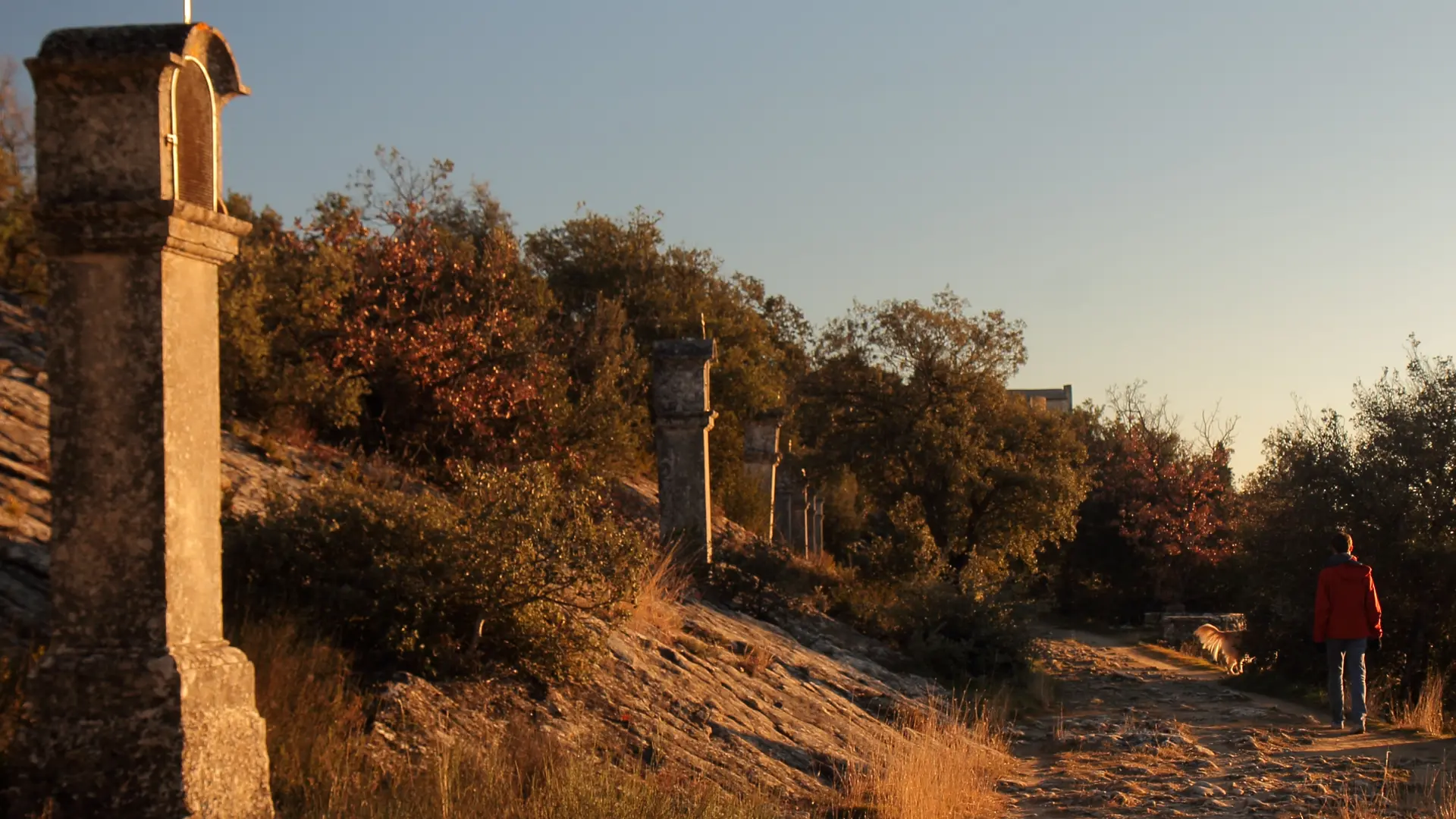
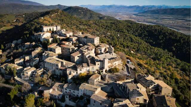
This itinerary, steeped in history and located on the pilgrimage route to Santiago de Compostela, takes in Lurs, classified as a "village et cité de caractère", the Promenade des Evêques leading to the Notre-Dame de Vie chapel and the ancient Pont Romain.
- Departure
- Lurs
-
-
Difference in height
- 323.737 m
-
-
-
Plain text period
- All year round.
-
-
-
Environment
-
-
-
Spoken languages
-
-
-
Documentation
- GPX / KML files allow you to export the trail of your hike to your GPS (or other navigation tool)
-
- See all reviews
- 324 meters of difference in height
-
- Maximum altitude : 613 m
- Minimum altitude : 390 m
- Total positive elevation : 324 m
- Total negative elevation : -324 m
- Max positive elevation : 109 m
- Min positive elevation : -120 m