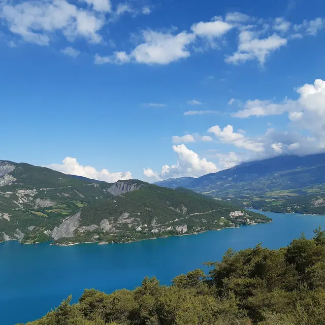
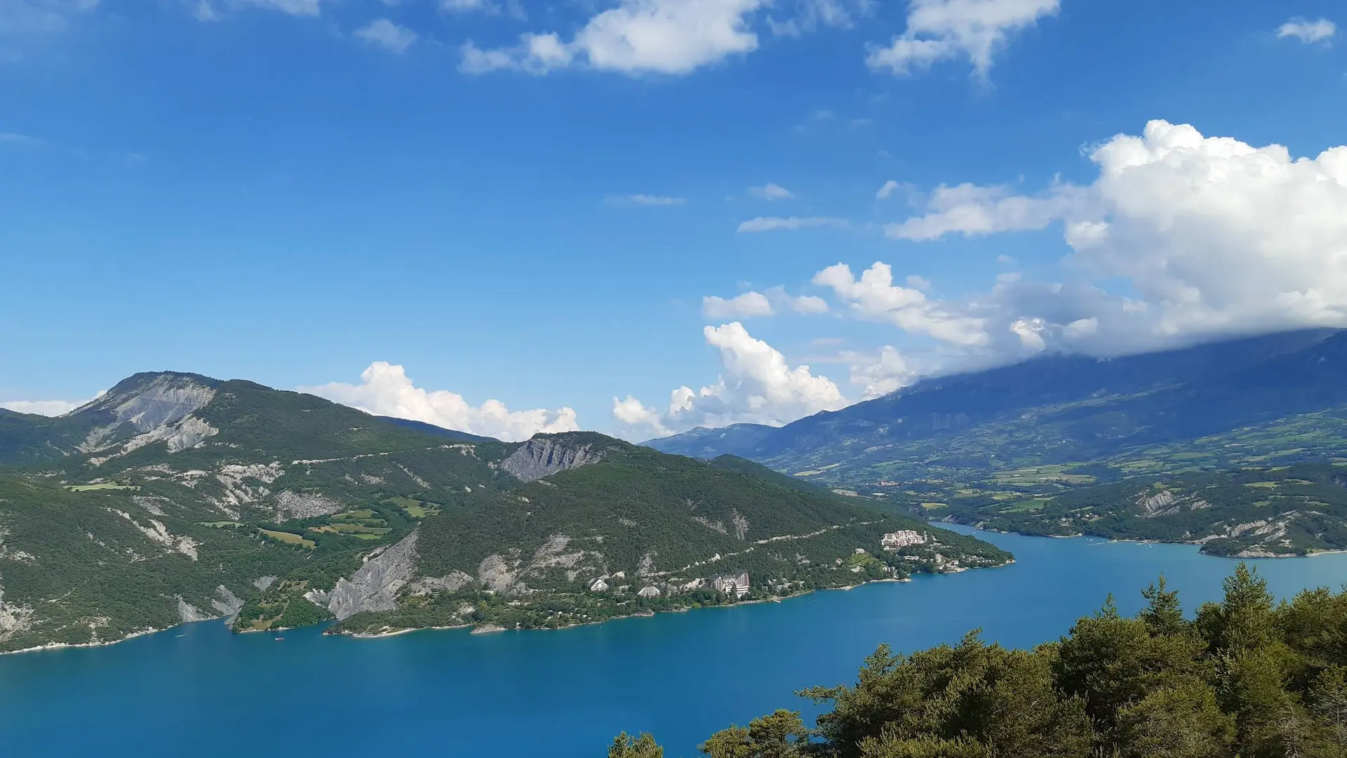
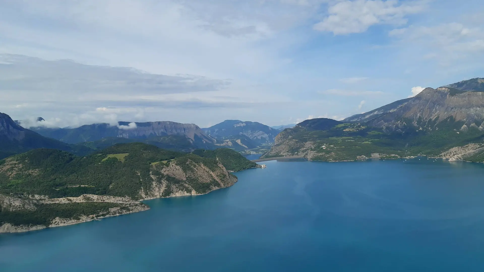
- Voir les favoris
See photos (2)
the Sauze balconies
Sport, Cycling sports, Mountain biking itinerary
in Le Sauze-du-Lac
7.3
km
-
A dynamic and sporty course, despite its short distance, offering superb panoramas of the lake.
-
From the La Fontaine car park, head back down the departmental road towards Savines-le-Lac for a few dozen metres, then take the path to the left of the cross. Turn left at a picnic area and continue straight ahead through the woods. Turn left when the view of the lake opens up, onto a narrow, steep and winding path. Follow this path until you come to a wide track. Turn left then left again into a very shady valley after a stream. Leave the path and take a path on the right back into the...
From the La Fontaine car park, head back down the departmental road towards Savines-le-Lac for a few dozen metres, then take the path to the left of the cross. Turn left at a picnic area and continue straight ahead through the woods. Turn left when the view of the lake opens up, onto a narrow, steep and winding path. Follow this path until you come to a wide track. Turn left then left again into a very shady valley after a stream. Leave the path and take a path on the right back into the pines. Turn left and then right into the woods. Turn right again when you come back to a wide, steeply sloping path, then veer left and finally right onto a road.
Follow the winding road to the departmental road. The gradient is moderate but the climb is still relatively long. Finally, turn right onto the departmental road to return to Le Sauze-du-Lac.
Easy
- Departure
- Le Sauze-du-Lac
-
-
Difference in height
- 237.667 m
-
-
-
Departure : Le Sauze-du-Lac.
Arrival : Le Sauze-du-Lac.
Road access : Follow the D954 from Savines-le-Lac or the Ubaye valley..
Parking recommended : La Fontaine car park, Le Sauze-du-Lac .
- See all reviews
- 238 meters of difference in height
-
- Maximum altitude : 1045 m
- Minimum altitude : 809 m
- Total positive elevation : 238 m
- Total negative elevation : -336 m
- Max positive elevation : 221 m
- Min positive elevation : -235 m
