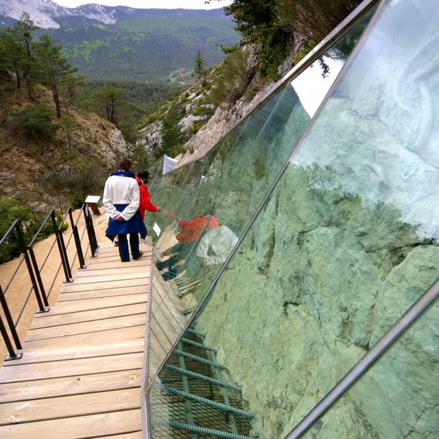
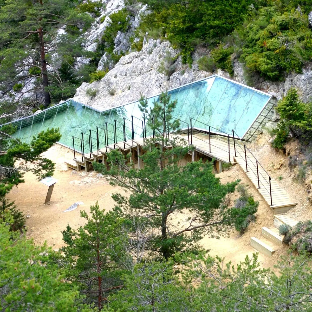
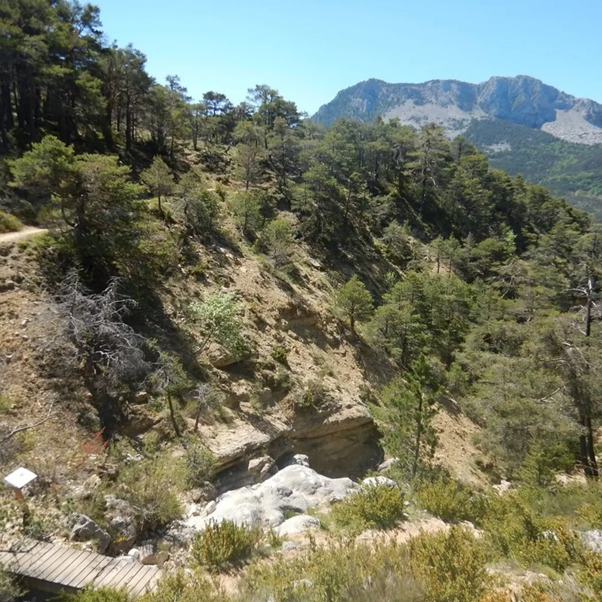
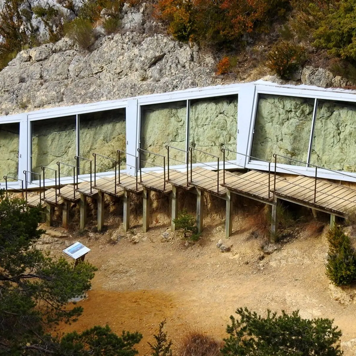
See photos (4)

The Sirenians Trail

Sport, Pedestrian sports, Hiking itinerary in Castellane
Unresolved hours
5.4 km
  • And strange marine mammals called the sirenians inhabited our lands...

  • From the car park at the Col des Lèques, take the path along the campsite. In 500m, follow the path and find a small pass and an intersection of marked trails.
    1 - Go left and leave on the right the trail going up towards La Baume. Find a ruin by the relatively flat and shaded path. Pass by and then find a small footbridge. After crossing it, climb the trail with a few wooden steps under the pines. Cross the next valley and find a view of the Col des Lèques, the north face of Cadières de...
    From the car park at the Col des Lèques, take the path along the campsite. In 500m, follow the path and find a small pass and an intersection of marked trails.
    1 - Go left and leave on the right the trail going up towards La Baume. Find a ruin by the relatively flat and shaded path. Pass by and then find a small footbridge. After crossing it, climb the trail with a few wooden steps under the pines. Cross the next valley and find a view of the Col des Lèques, the north face of Cadières de Brandis and the summits of Robion and Destourbes, dominating Castellane. Go down the path and go to the right in the direction of the valley where the sirenian fossil site is located.
    2 - The same route is used for the return.

    Very easy
  • Departure
    Castellane
  • Difference in height
    215.999 m
  • Departure : Col des Léques, Castellane.
    Arrival : Col des Léques, Castellane.
    8km from Castellane, take the RN85 towards Digne-les-Bains until Col des Lques.
    « Limitons les déplacements en voiture, pensons aux transports en commun ! Prenez la ligne régionale BV1bis entre Riez et Castellane du 1er Juillet au 11 octobre. Depuis Riez, départ 8h35, retour 16h00. Depuis Castellane, départ à 7h30, retour 16h20 et 19h30. Retrouvez tous les horaires sur https://zou.maregionsud.fr/ ».
  • Documentation
    GPX / KML files allow you to export the trail of your hike to your GPS (or other navigation tool)
216 meters of difference in height
Created with Highcharts 6.2.0Distance (km)Altitude (m)0 km0.5 km1 km1.5 km2 km2.5 km3 km3.5 km4 km4.5 km5 km1120 m1140 m1160 m1180 m1200 m1220 m1240 mHighcharts.com
  • Maximum altitude : 1218 m
  • Minimum altitude : 1131 m
  • Total positive elevation : 216 m
  • Total negative elevation : -147 m
  • Max positive elevation : 76 m
  • Min positive elevation : -73 m