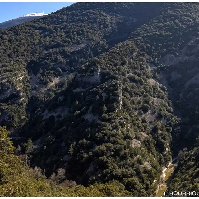
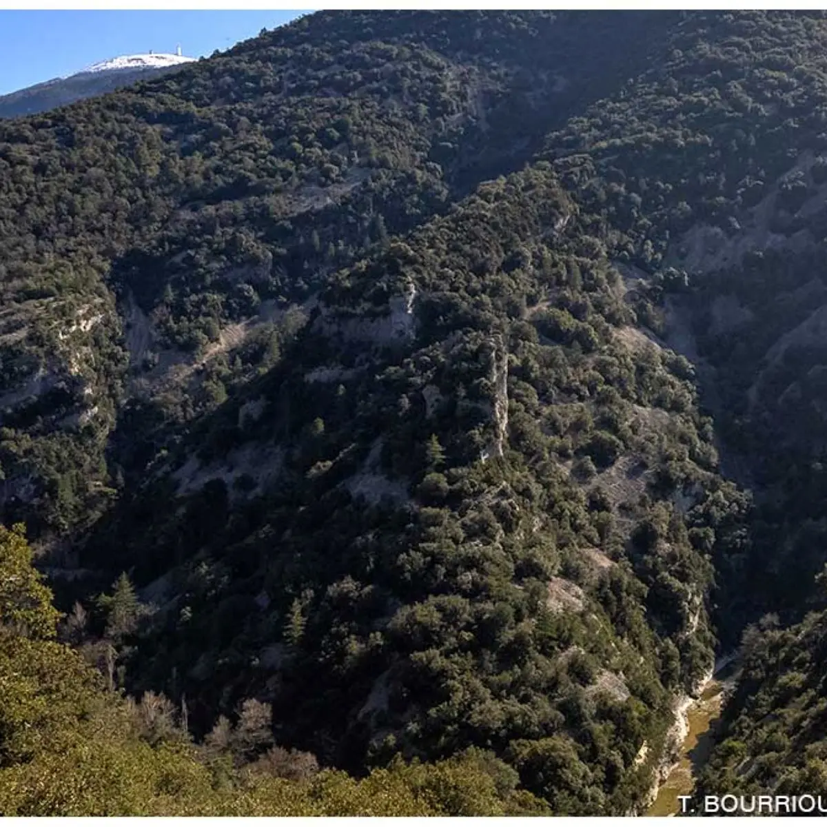
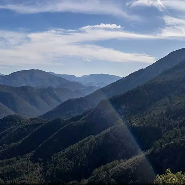
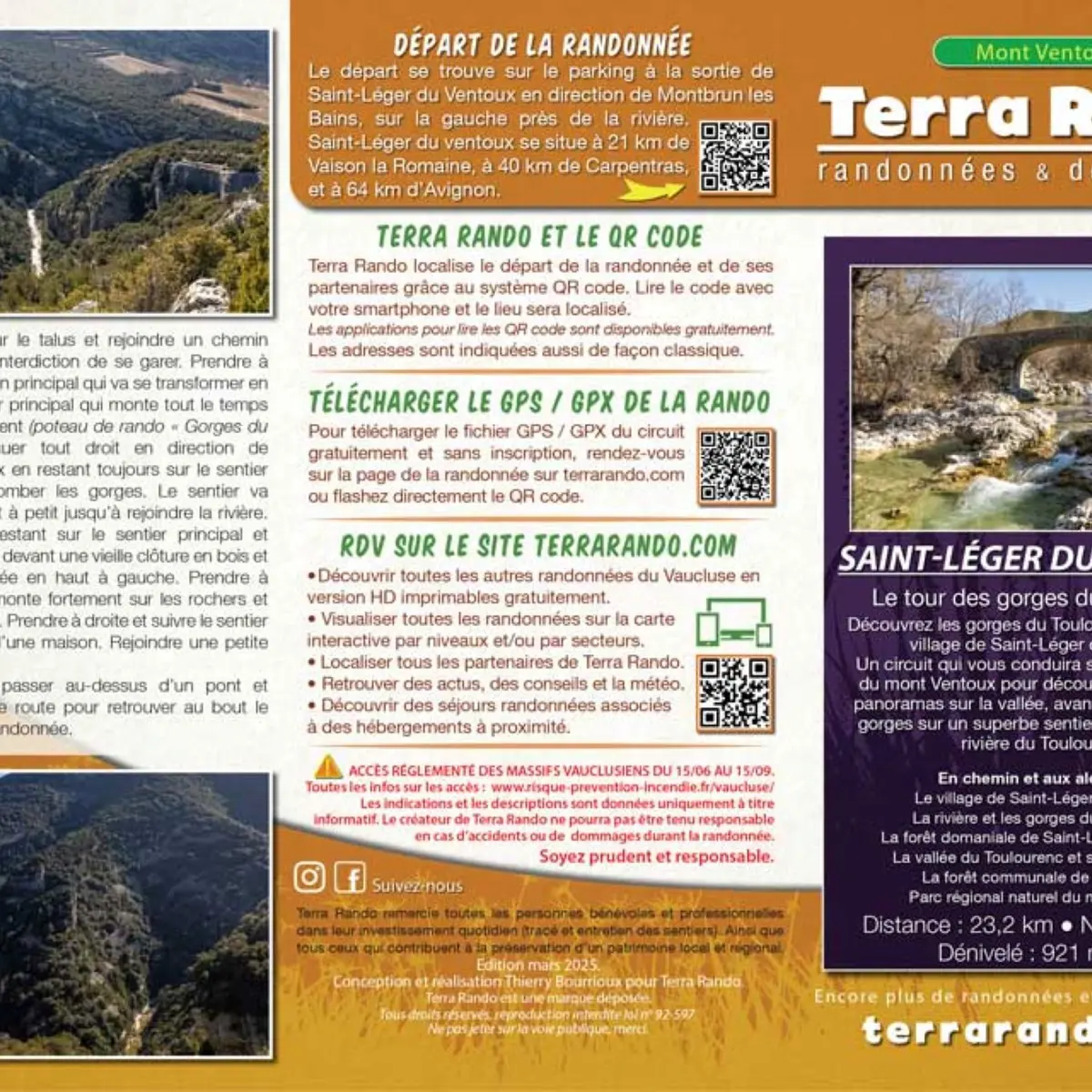
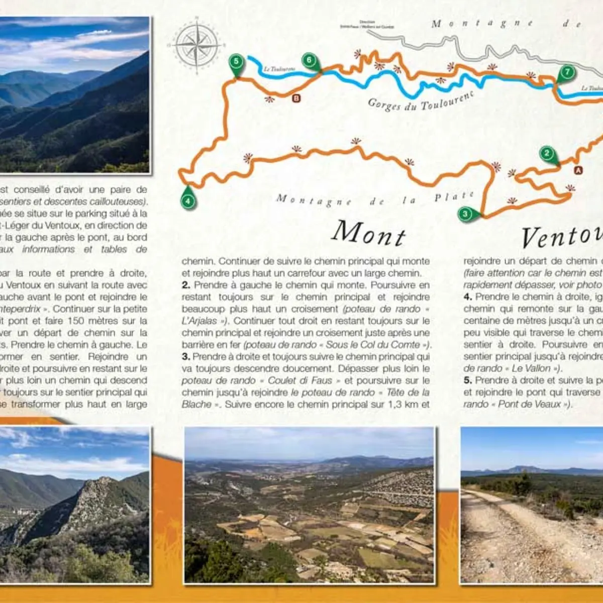
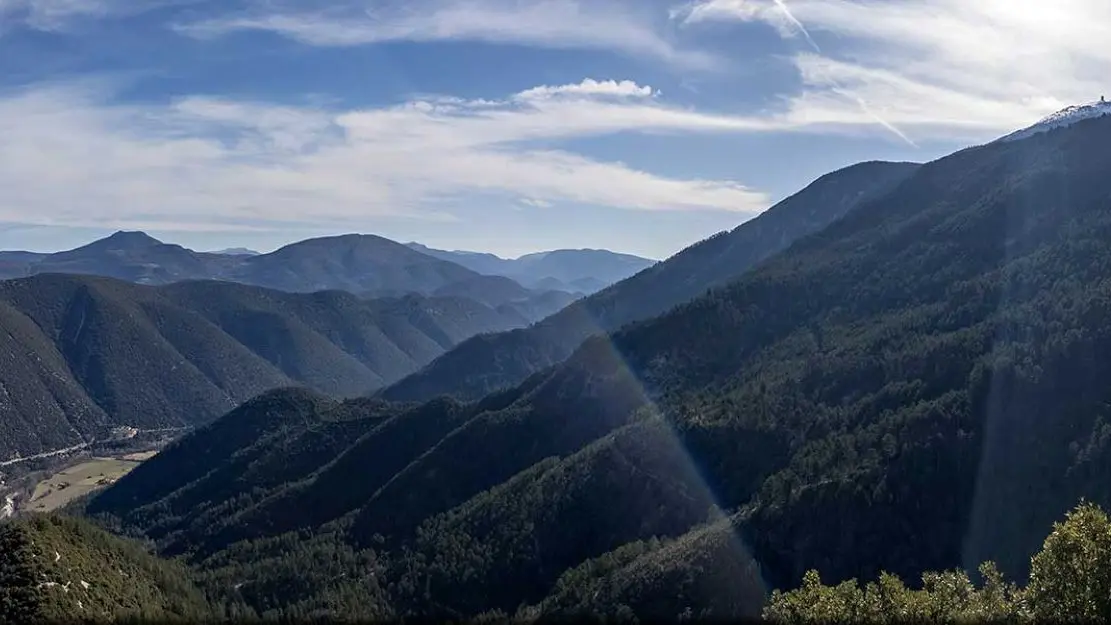
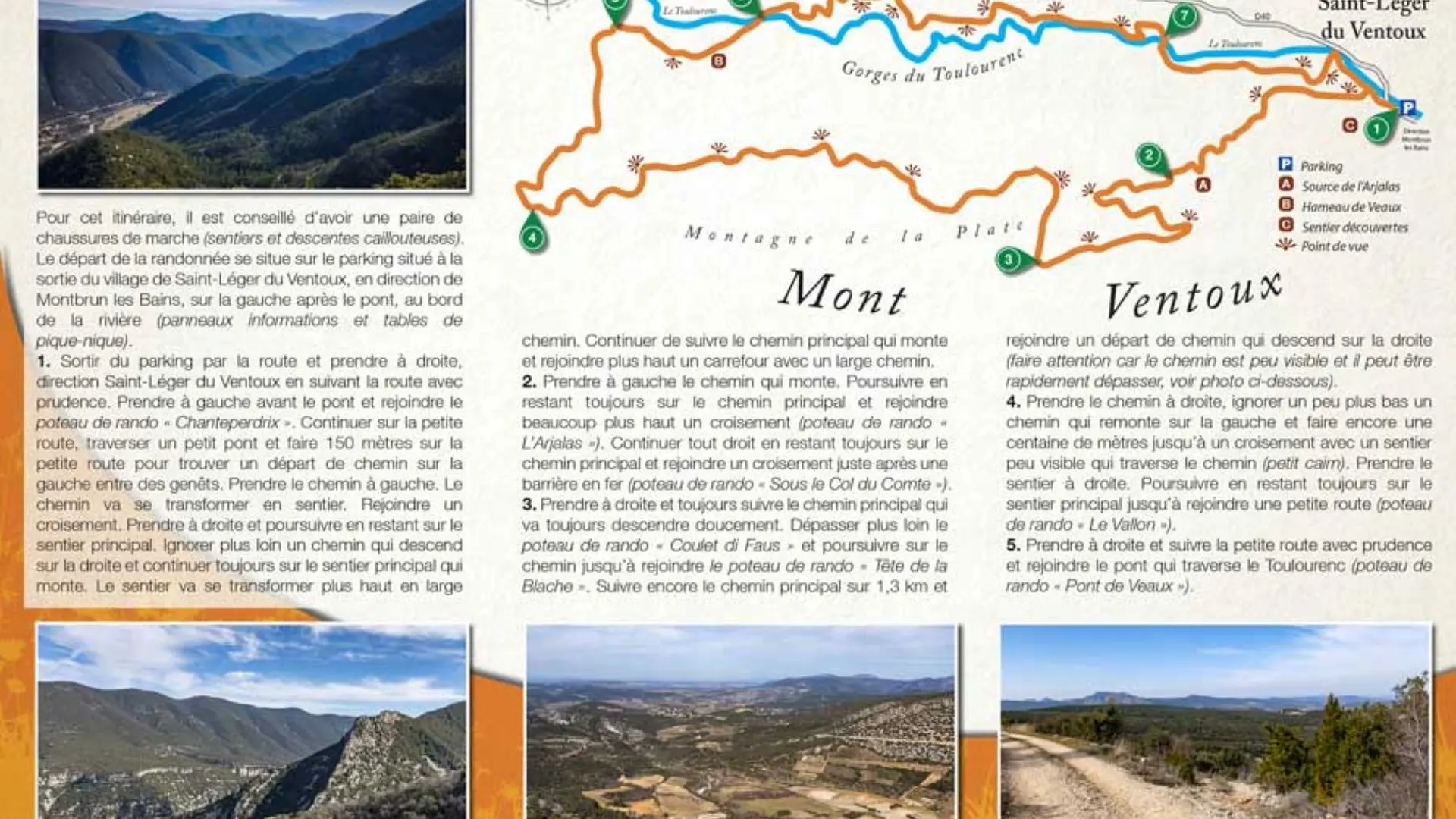
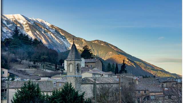
Leaving from Saint-Léger du Ventoux, this tour takes you to the northern slopes of Mont Ventoux for splendid panoramic views over the valley, before returning along a superb path overlooking the Toulourenc river.
To see on the way and around the hike:
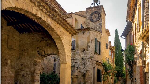
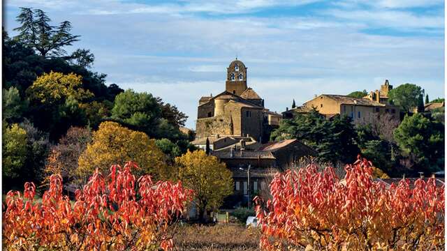
> The village of Saint-Léger du Ventoux
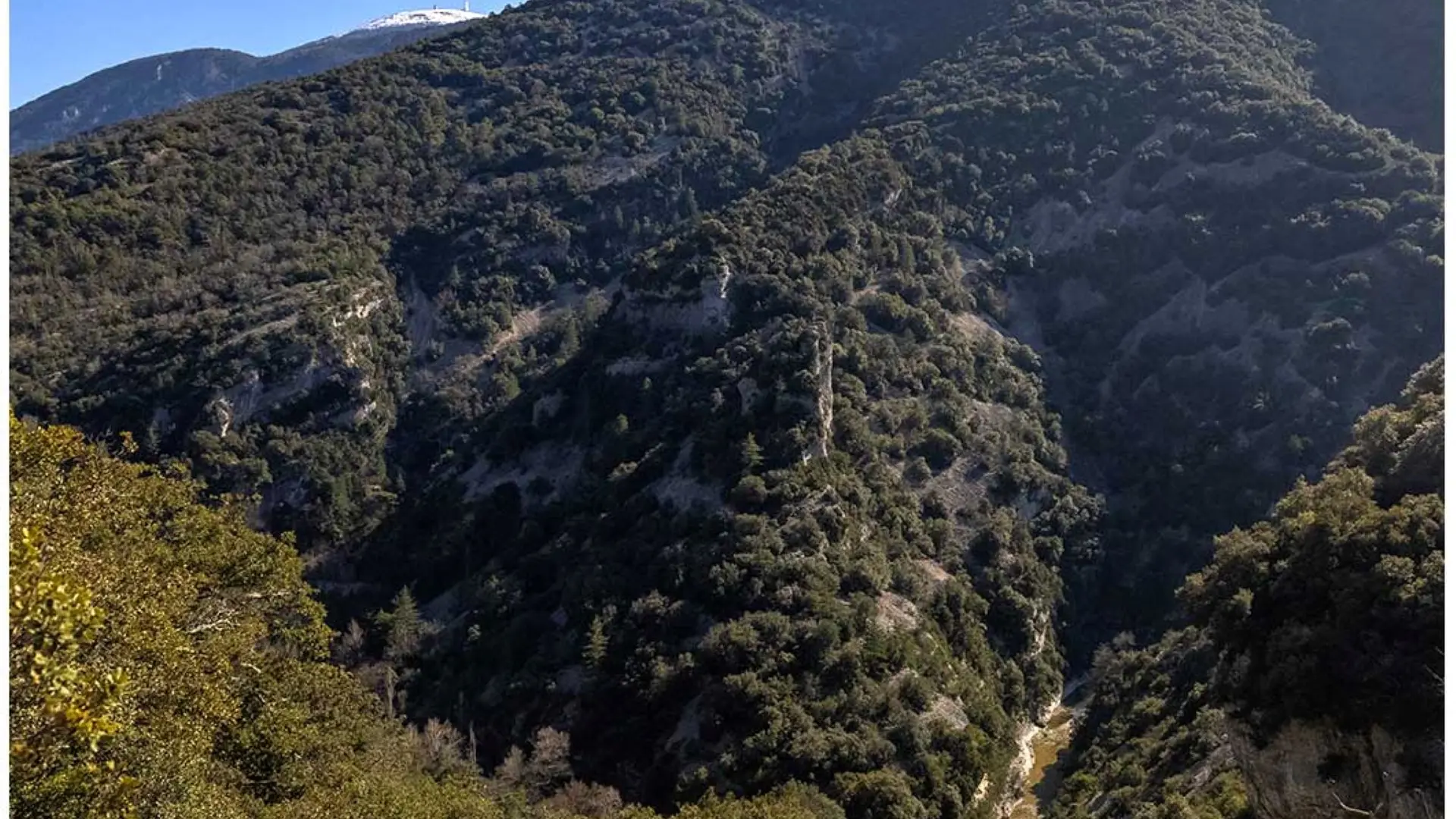
> The Toulourenc river and gorges
> Saint-Léger du Ventoux national forest
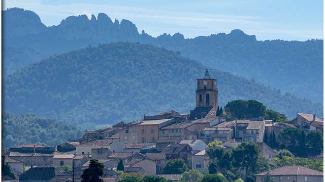
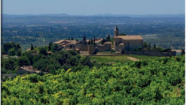
> The Toulourenc valley and its pretty villages
> Malaucène communal forest
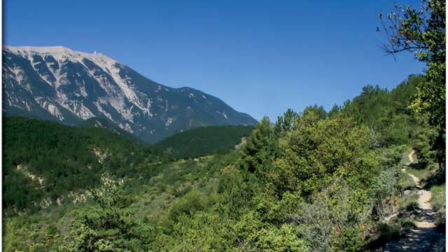
> Mont Ventoux Regional Nature Park
Also on the terrarando.com website: tips for hiking in the Vaucluse and practical information from Terra Rando's partners. Enjoy your hikes and discoveries...