See photos (5)

The summit of the Bonette

Leisure, Tourist routes in Barcelonnette
63.8 km
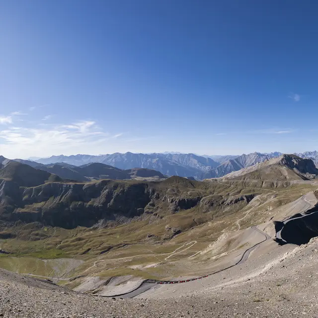
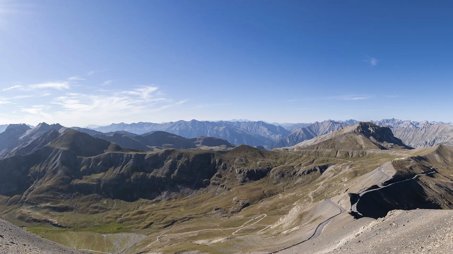
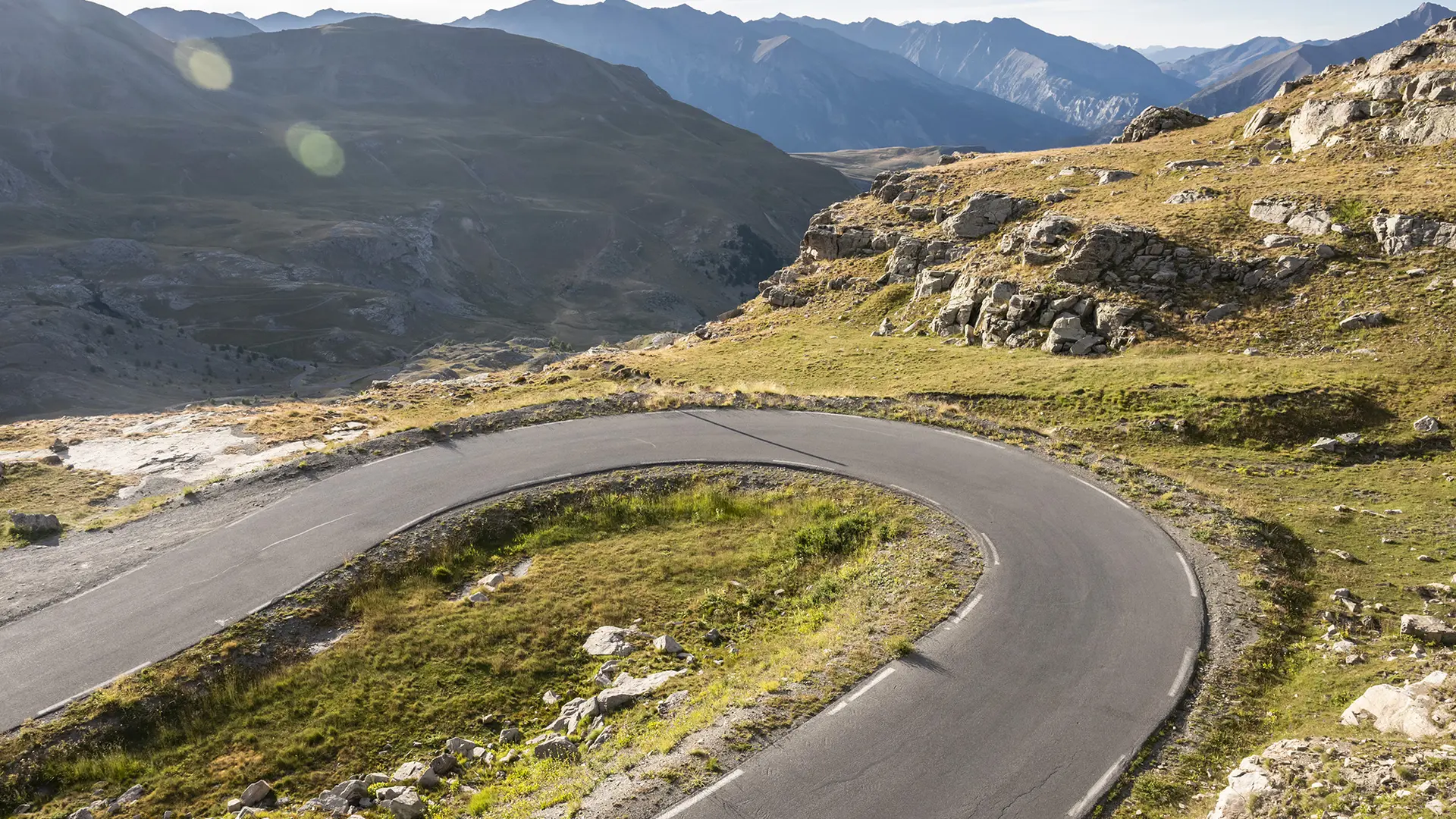
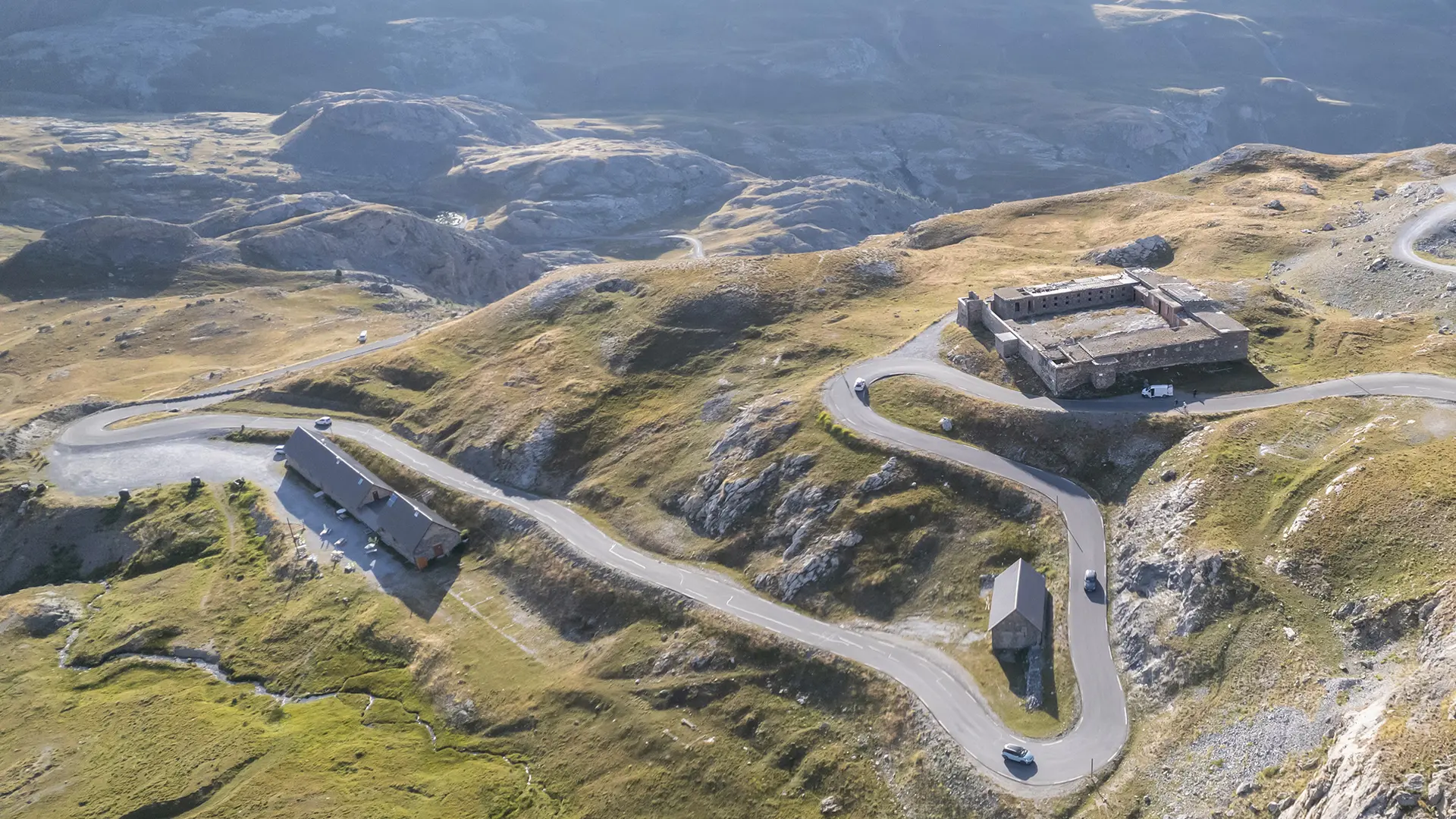
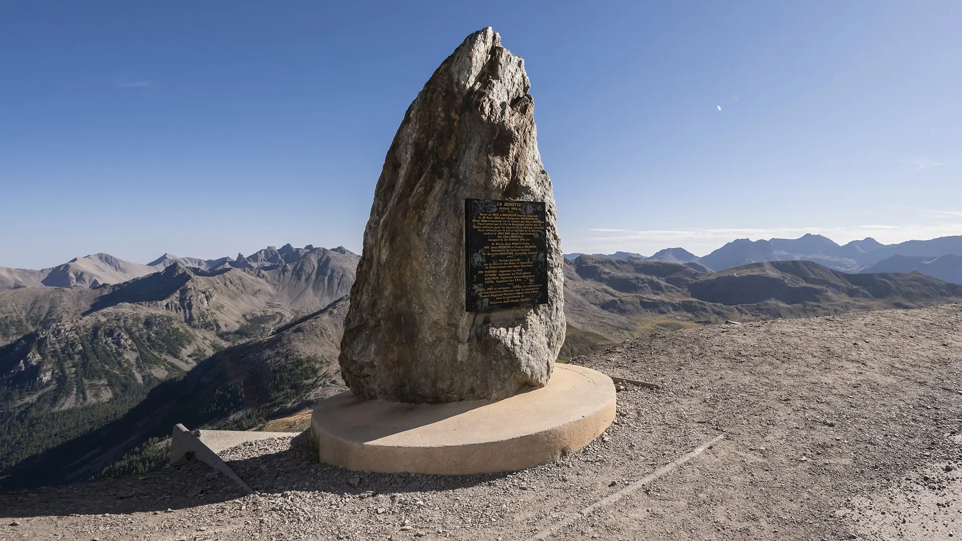
  • The summit of the Bonette is an unmissable walk, a veritable ribbon of asphalt for tourists, set in a magnificent landscape. On the way up: discovery of former military barracks and huts.

  • This veritable ribbon of asphalt for tourists winds its way through imposing landscapes. On the way up, discover the old military barracks and huts.

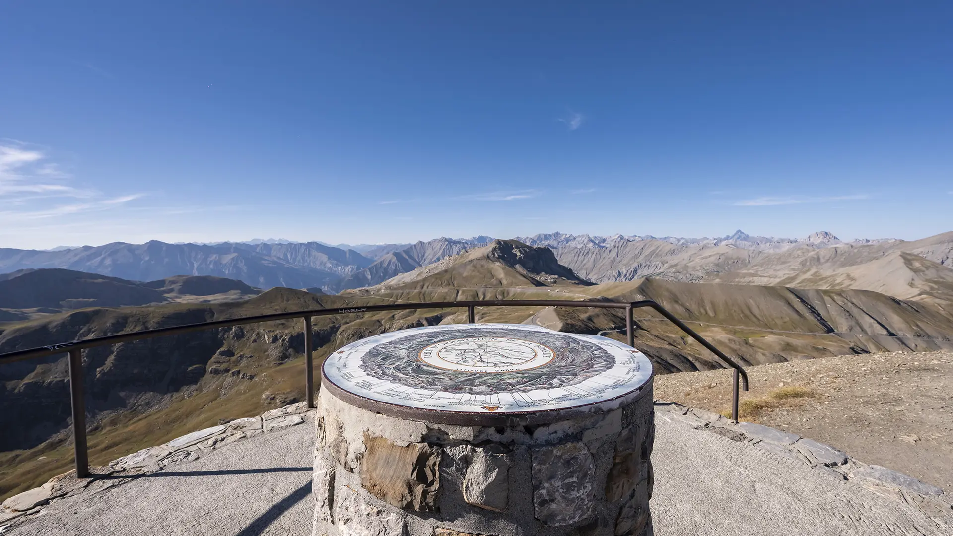
    At the pass: take the road leading to the summit of La Bonette at 2,802 m and enjoy the exceptional panorama. There's an orientation table with views of the Tinée, Italy, Mont Viso and the Oratoire Notre-Dame du Très Haut.
  • Departure
    Barcelonnette
  • Difference in height
    2058.14 m
  • Plain text rates
    Free of charge.
  • Plain text period
    From 01/06 to 30/09.
  • Documentation
    GPX / KML files allow you to export the trail of your hike to your GPS (or other navigation tool)
2058 meters of difference in height
  • Maximum altitude : 2799 m
  • Minimum altitude : 1138 m
  • Total positive elevation : 2058 m
  • Total negative elevation : -2058 m
  • Max positive elevation : 275 m
  • Min positive elevation : -236 m