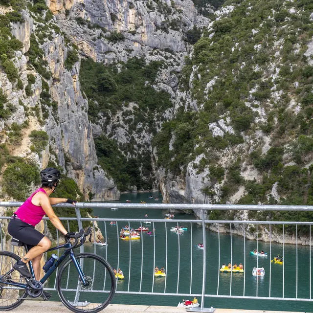
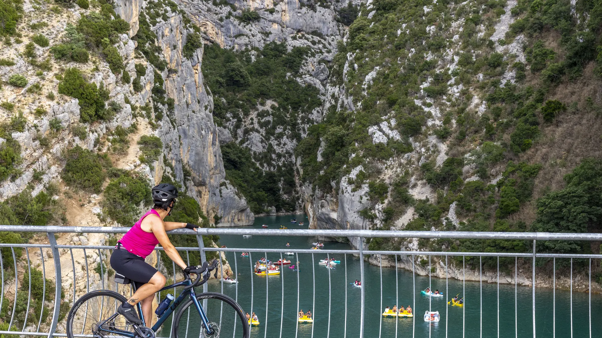
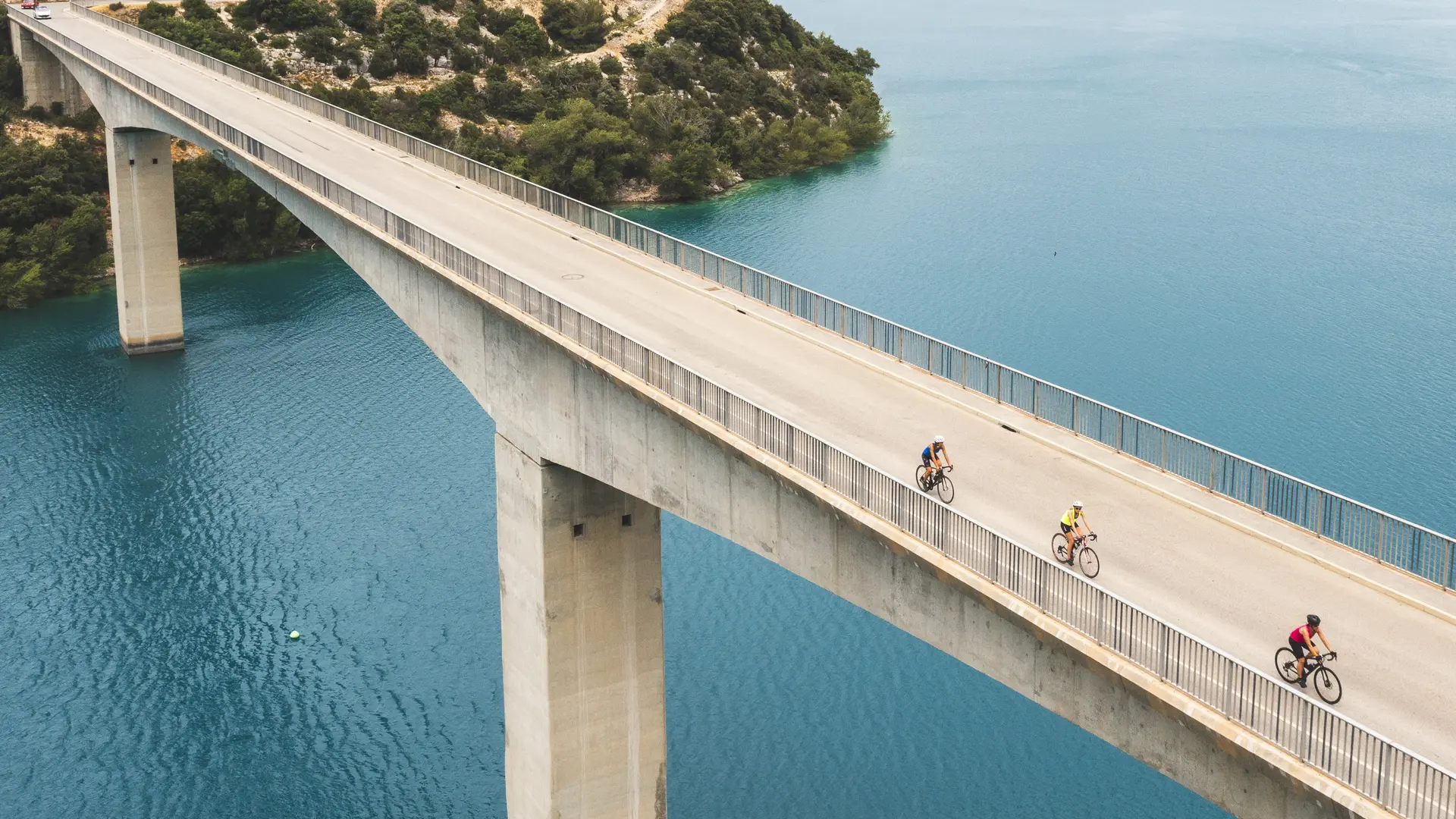
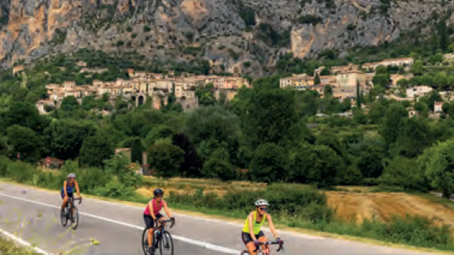
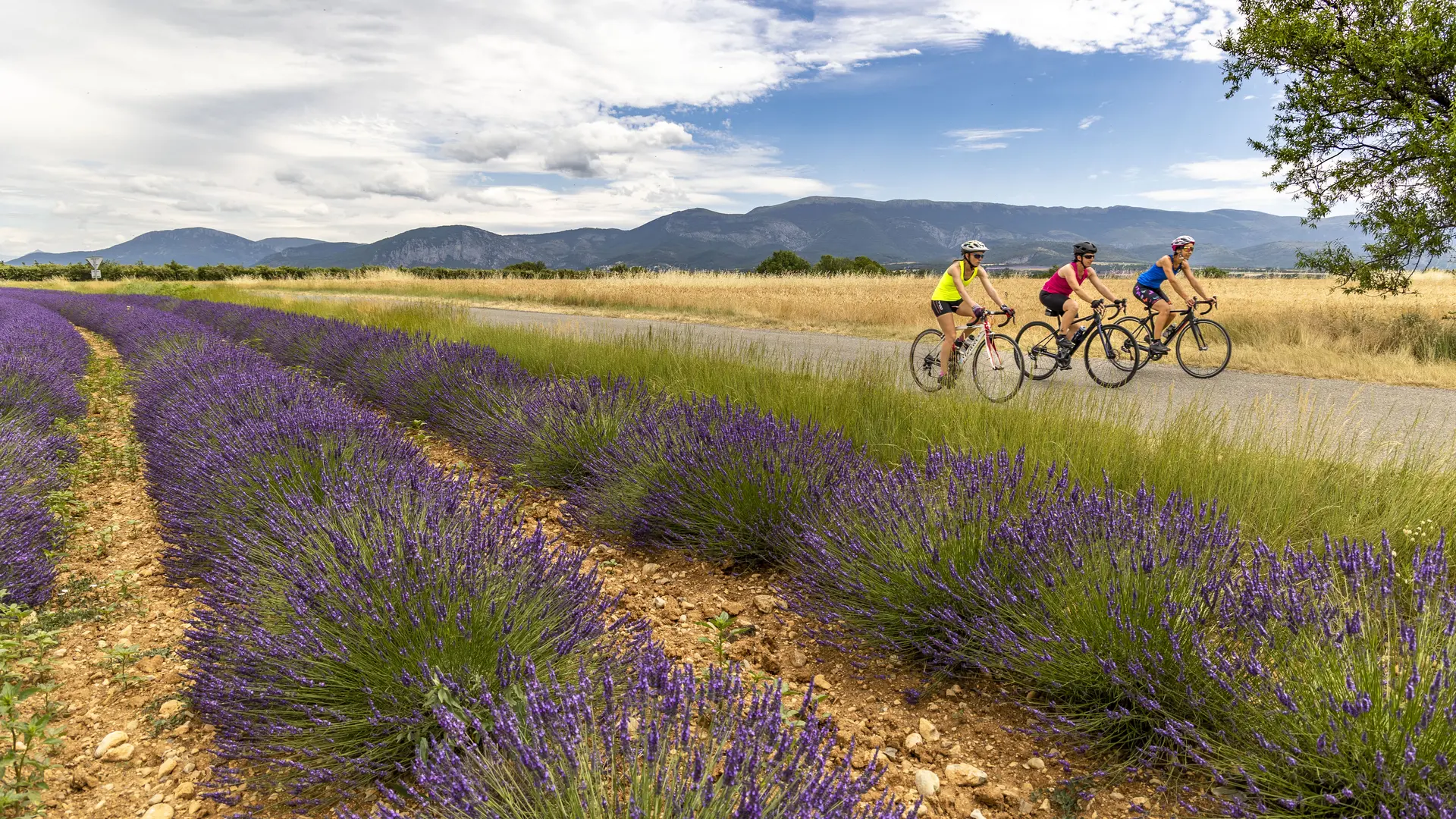
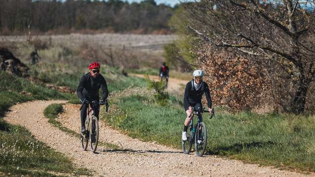
The Tour du Verdon by bike is an incredible journey in the heart of unspoiled nature. Taste the wide open spaces in the Verdon regional natural park, cross Provencal villages, all through breathtaking landscapes.
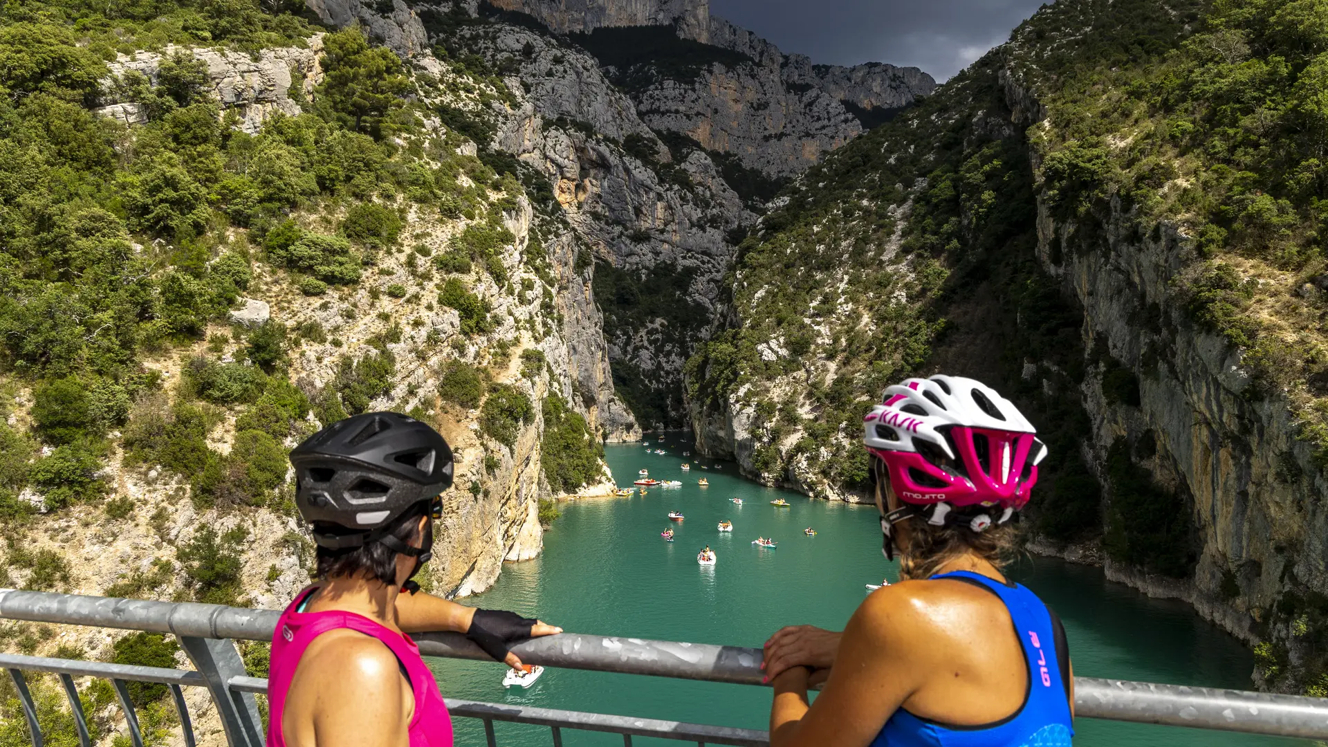
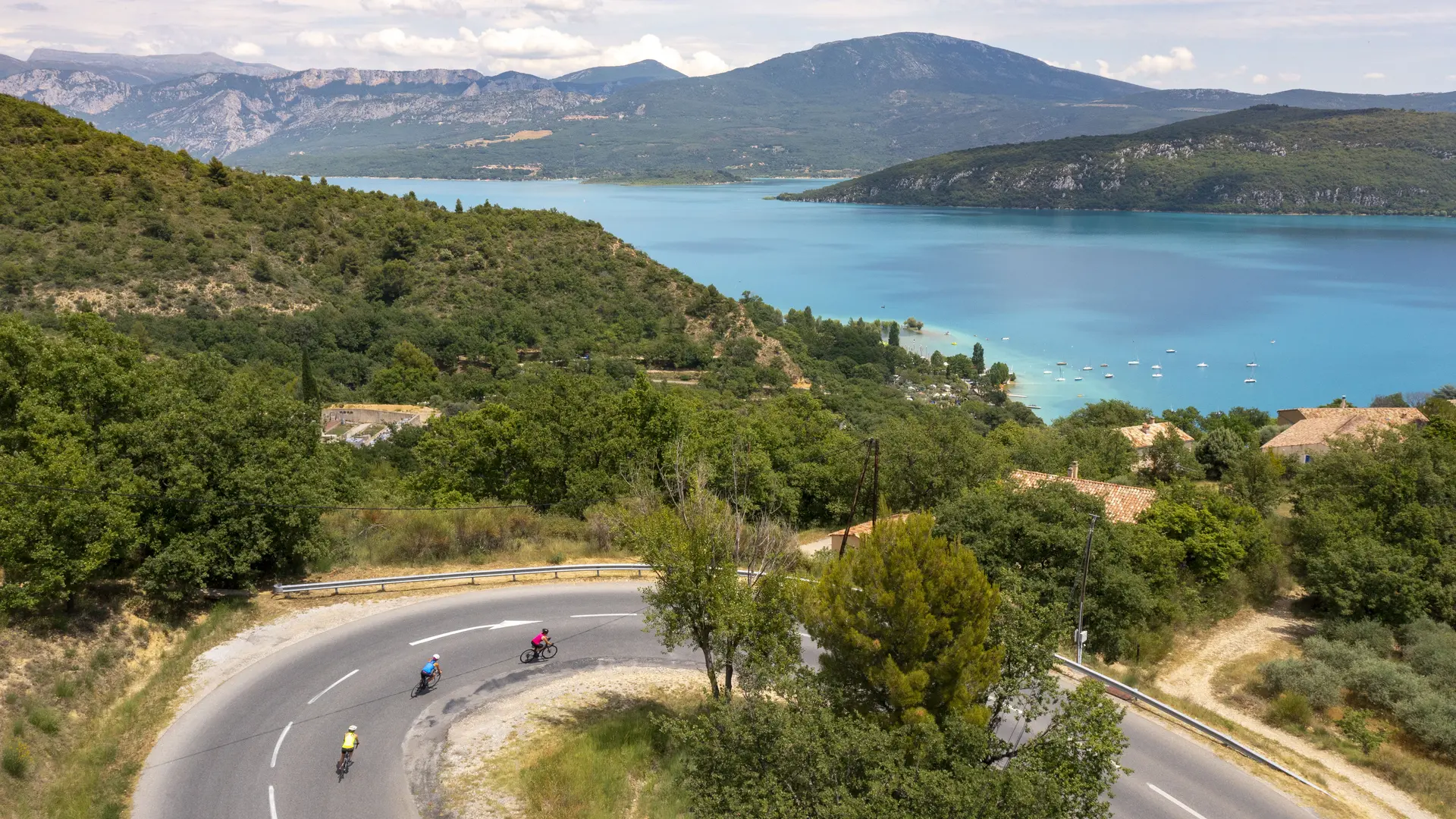
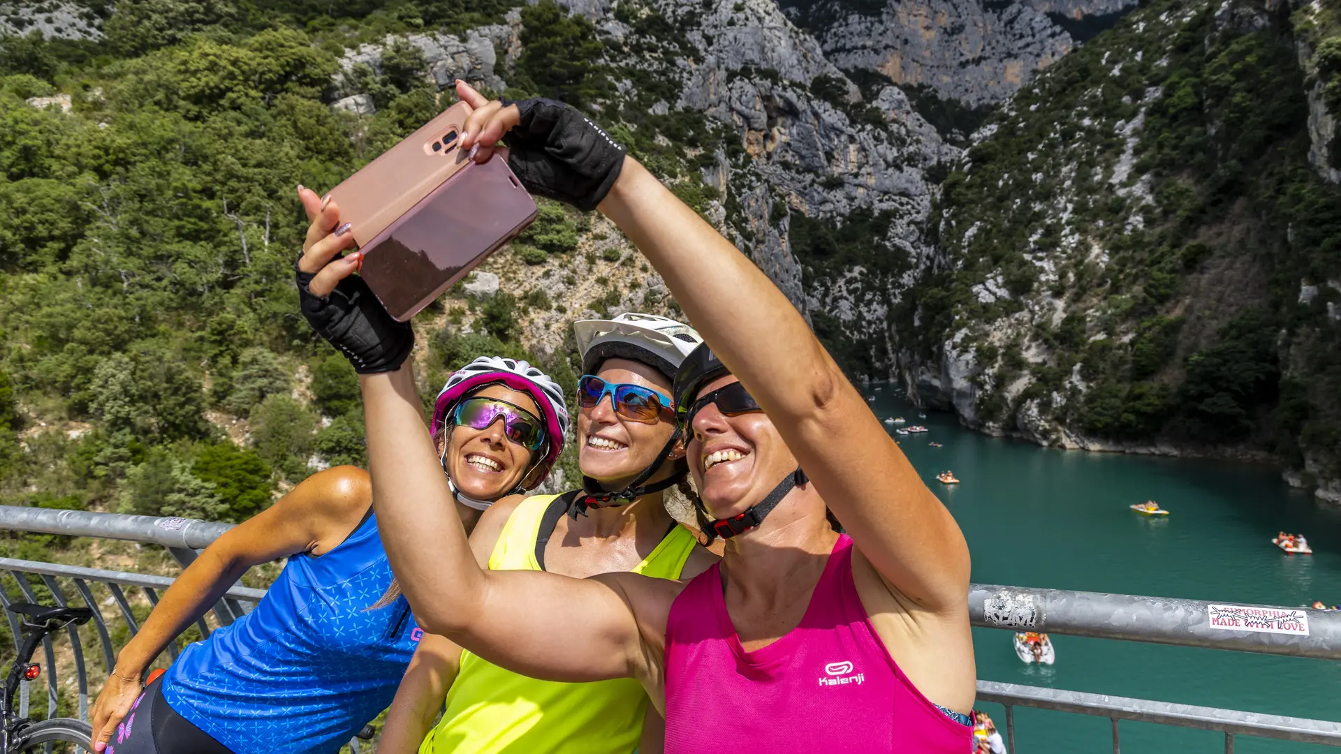
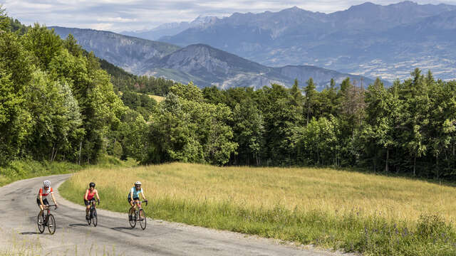
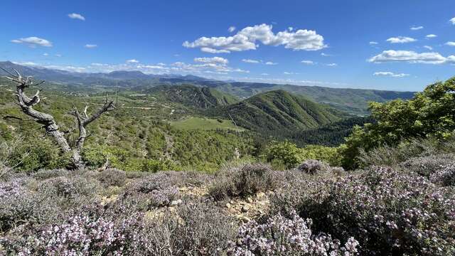
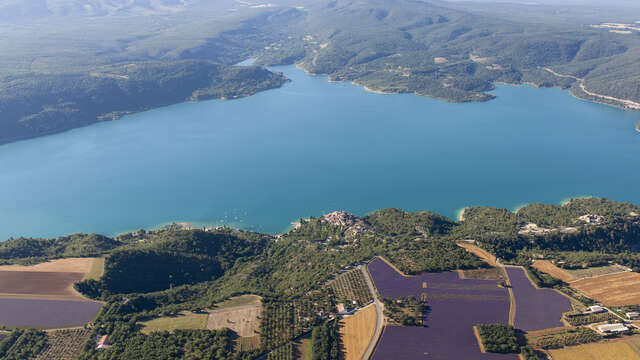
The Tour du Verdon by bike is a 258km itinerary in 7 days that will take you through the most emblematic landscapes of the Verdon. The Sainte-Croix lake, the Verdon gorges but also some gems like the Esparron lake or the lower Verdon gorges. It is an anthology of landscapes, scents, colors and typical alleys like those of Moustiers-Sainte-Marie.
The Verdon is waiting for you, prepare your bags and saddle up for an unforgettable experience!
Route marked in both directions with standardized cycle signs: Blue logo = clockwise; orange logo = anti-clockwise.
Recommended period: cycle the Tour du Verdon outside the summer season, from March to June and from September to mid-November. In summer, road traffic is very high, making some sections dangerous. Adjust your schedule (before 9am or after 18pm) to set off in the cool of the day.