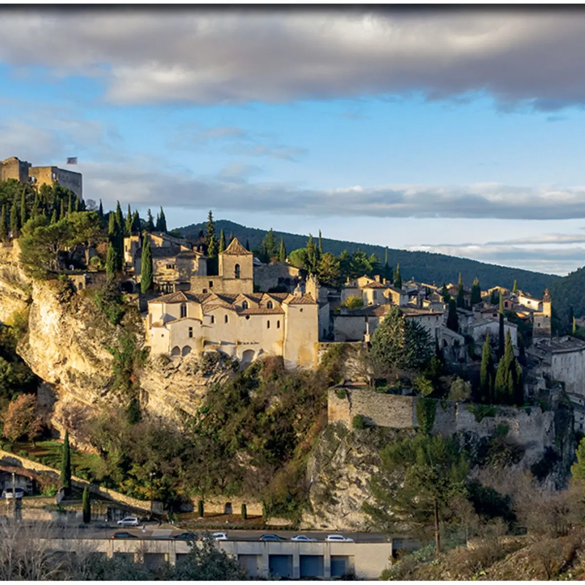
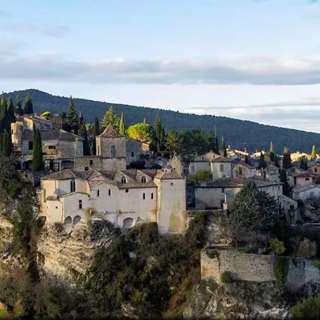
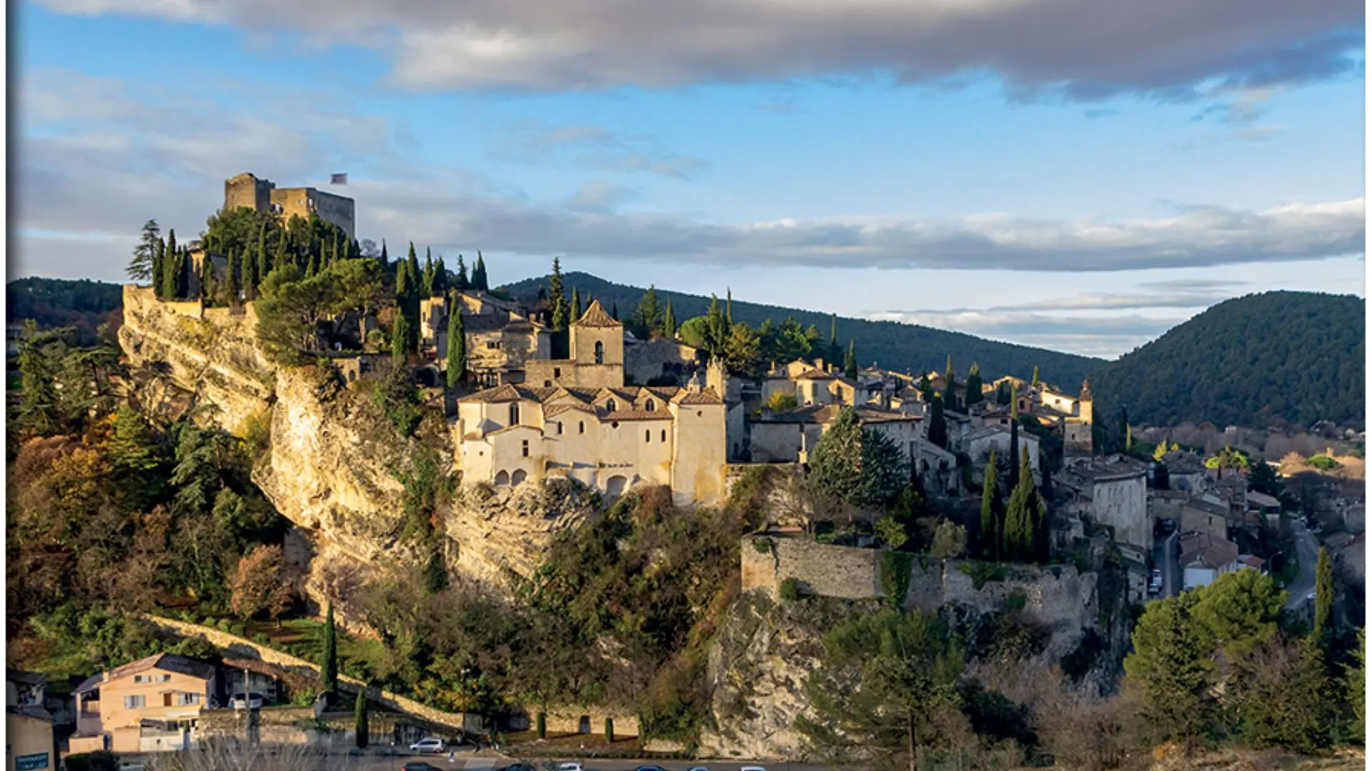
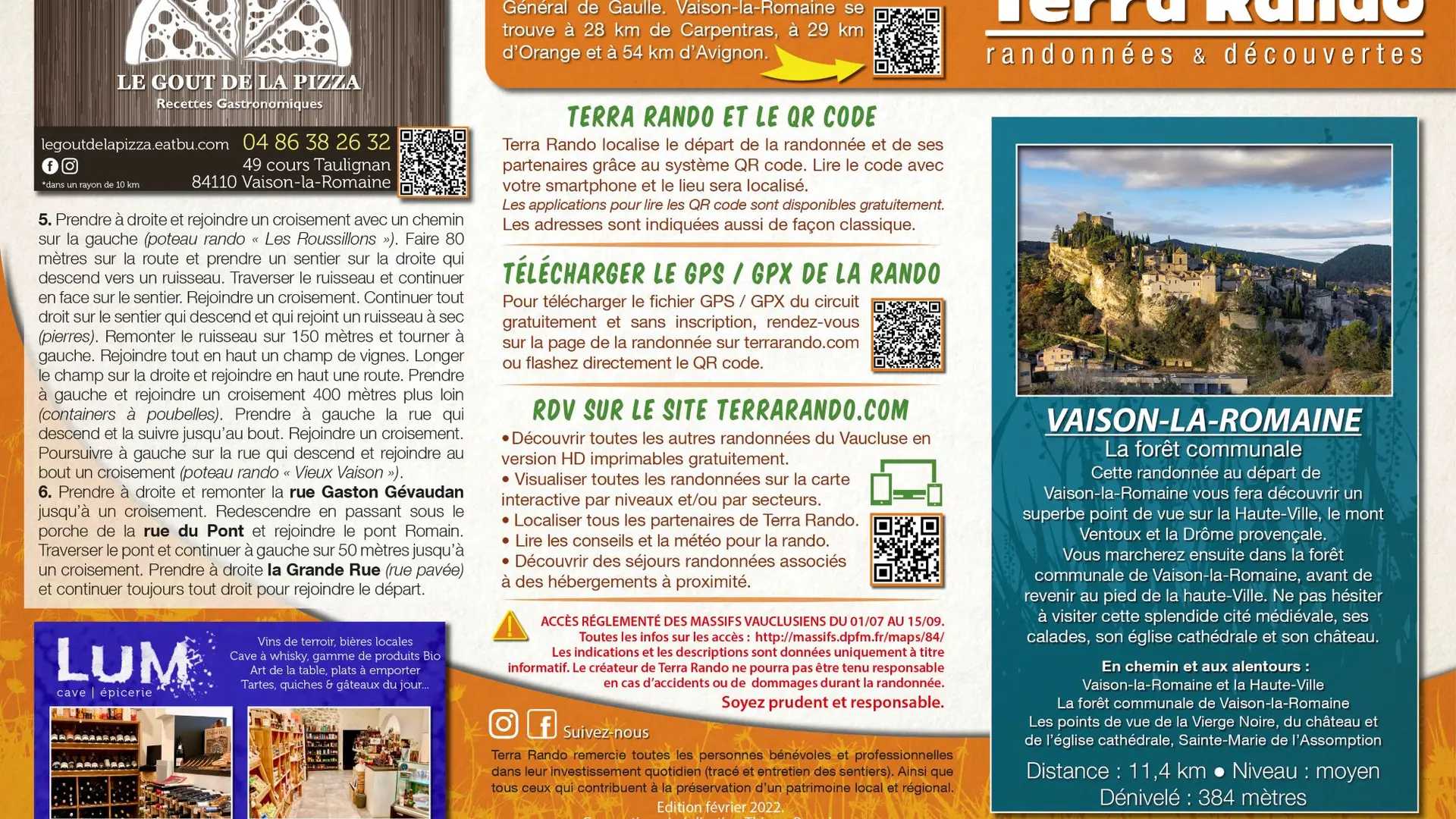
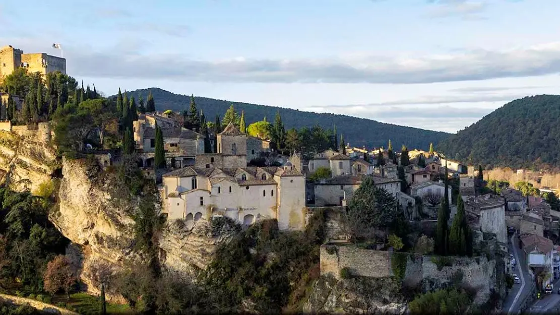
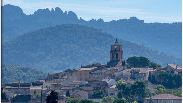
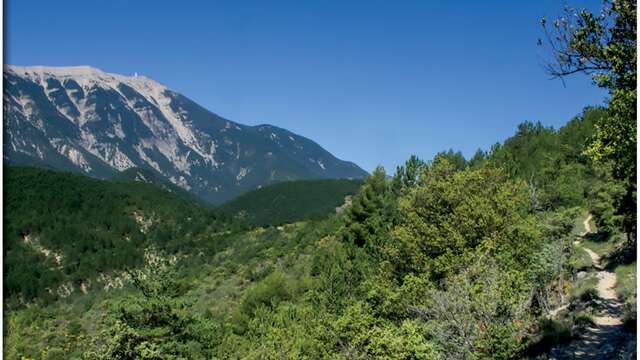
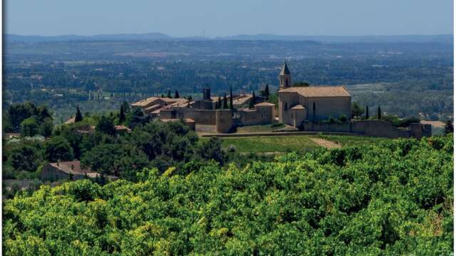
This hike from Vaison-la-Romaine offers superb views of the Haute-Ville, Mont Ventoux and the Drôme Provençale.
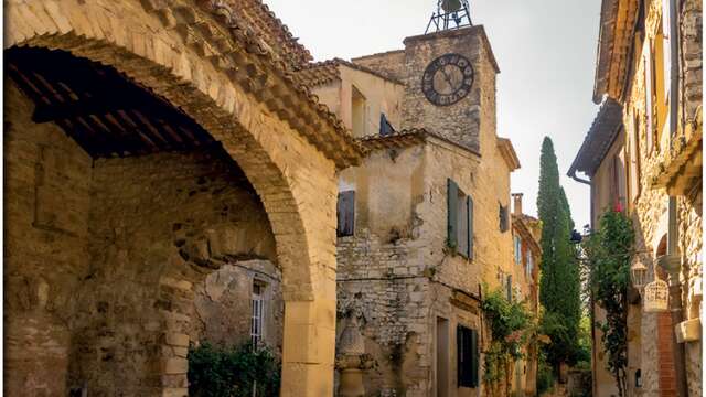
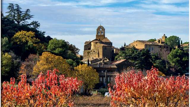
You'll then walk through the Vaison-la-Romaine communal forest, before returning to the foot of the Haute-Ville. Don't hesitate to visit this splendid medieval town, with its calades, cathedral church and château.
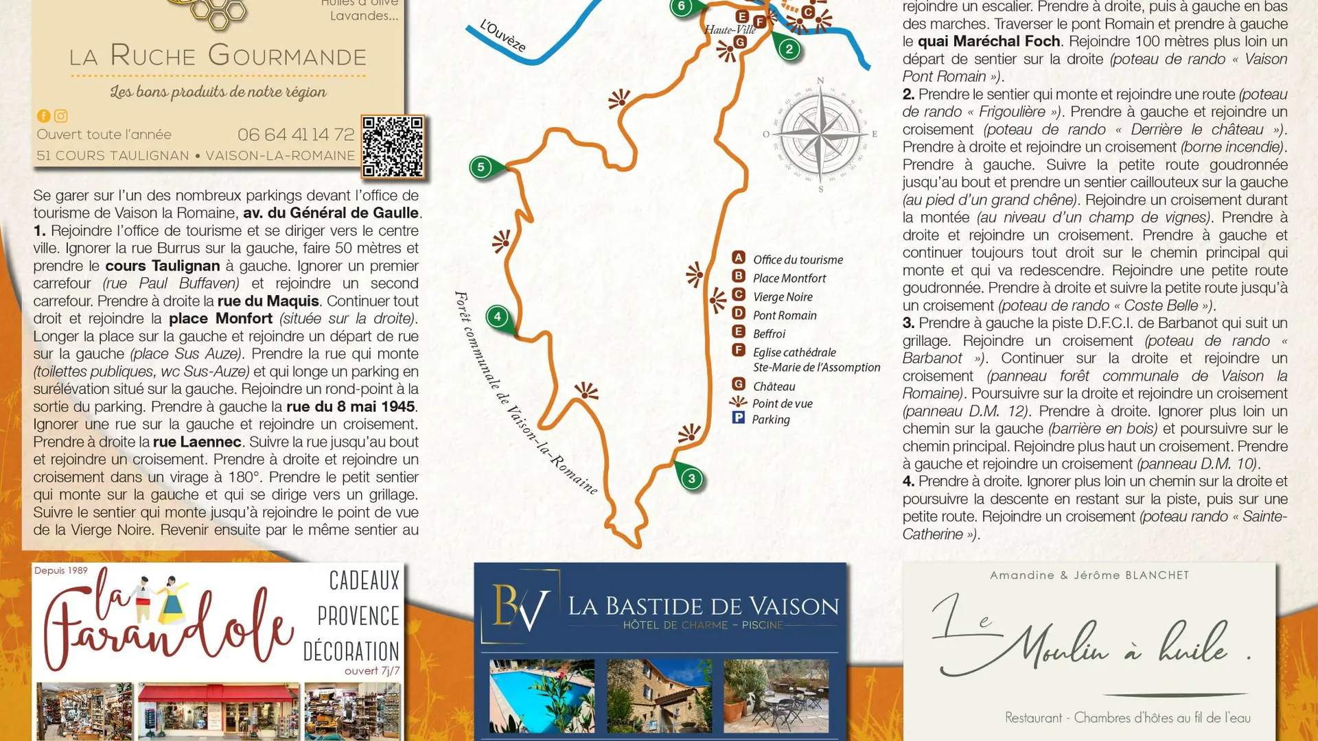
To see along the way and around the Vaison-la-Romaine hike in the Dentelles de Montmirail:
> Vaison-la-Romaine and the Upper Town
> Vaison-la-Romaine communal forest
> Viewpoints of the Vierge Noire, the château and the cathedral church, Sainte-Marie de l'Assomption
The hiking map is available free of charge from the Vaison Ventoux Provence Tourist Office.
Also on the terrarando.com website: tips for hiking in the Vaucluse and all the practical information from Terra Rando's partners. Happy hiking and discovering...