Les Aiguilles de Valbelle

THE VALBELLE PEAKS MOUNTAIN BIKE TRACK

Sport, Cycling sports, Mountain biking itinerary in Solliès-Toucas
10.0 km
Medium
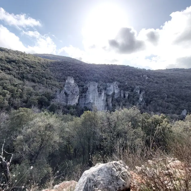
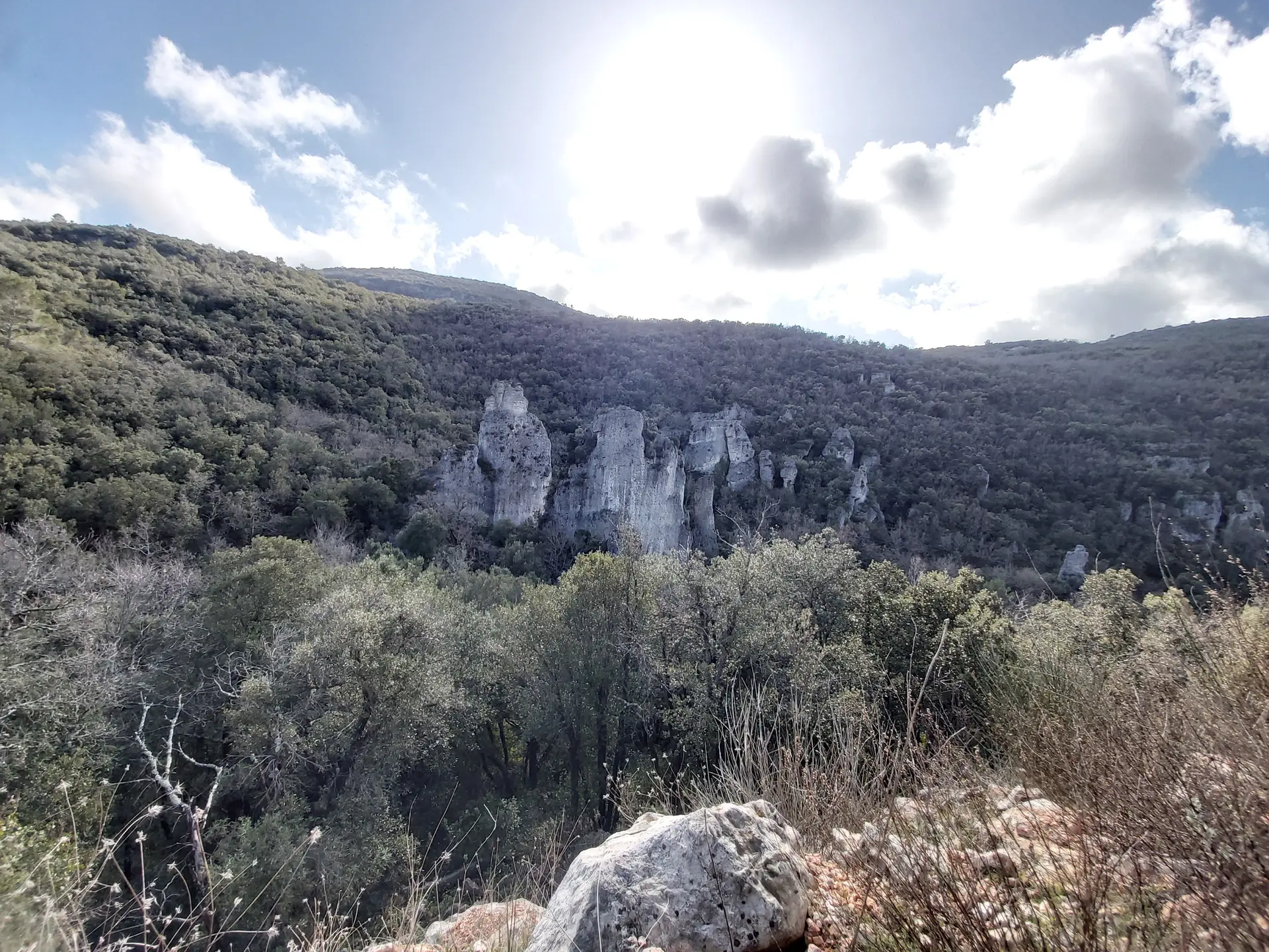
  • Explore one of the most beautiful natural monuments of the plateau, sculpted by erosion over the millennia in the dolomitic rocks, and discover the Morières state forest.

  • It is possible to go on this track on foot and on horseback. Details of the track are in the brochure to download, or available at the tourist office. Caution: In summer, it is important to check the map of access to the forest massifs due to fire risk on the Var prefecture website.

    The circuit crosses the cities of Signes and Méounes-les-Montrieux.
  • Departure
    Solliès-Toucas
  • Difference in height
    268.333 m
  • Plain text period
    All year round.
  • Spoken languages
    • French
  • Documentation
    GPX / KML files allow you to export the trail of your hike to your GPS (or other navigation tool)
  • Accepted customers
    • Level bue - Medium
268 meters of difference in height
  • Maximum altitude : 665 m
  • Minimum altitude : 446 m
  • Total positive elevation : 268 m
  • Total negative elevation : -269 m
  • Max positive elevation : 199 m
  • Min positive elevation : -184 m