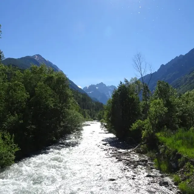
Opposite the Vallouise Park Centre ("Maison du Parc"), take a narrow made-up path on the left. At the cross-country ski centre ("Foyer de ski de fond"), carry straight on. The path runs alongside the Onde.
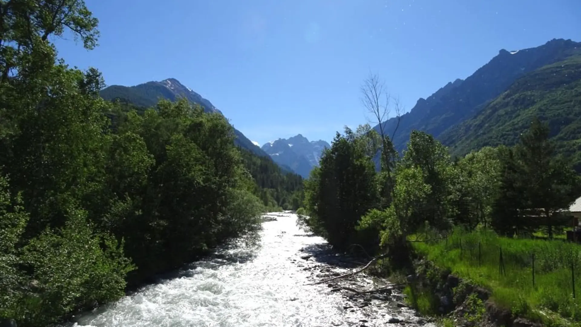
Turn right to cross the Onde and then, as you exit the bridge, fork left and follow the river.
At the bridge, turn left to reach the Cascade de la Pissette waterfall, and then turn back on yourself and follow your outward route in reverse.
After the bridge, turn right and take the path on the left heading towards the centre of Vallouise.. When you come to the D504, turn left towards the village centre.
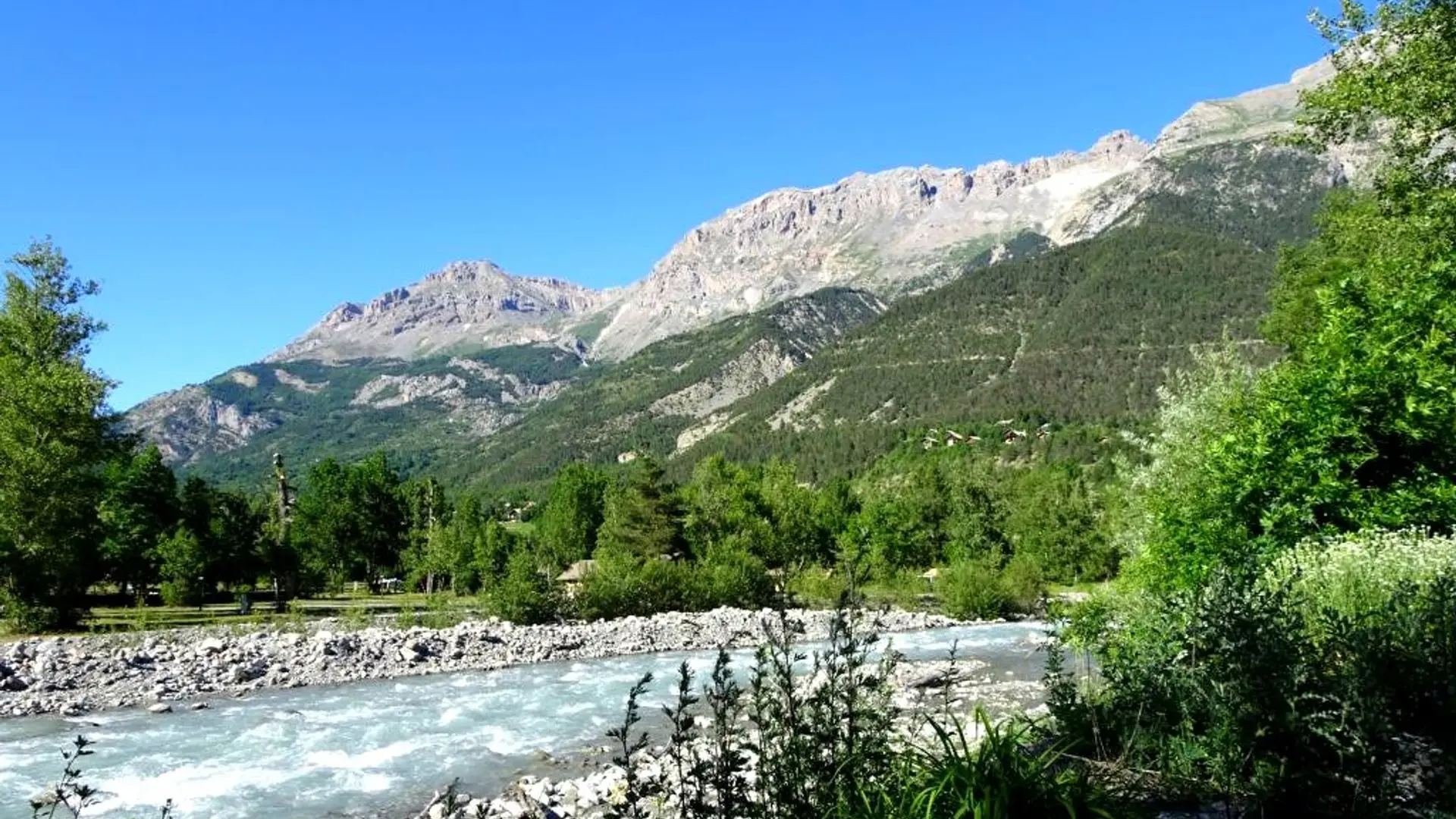
Turn left again to reach the church of Vallouise. On the church square, take the Rue du Centre and turn right before the bridge. The path then runs along the banks of the Gyr and past the Huttopia campsite.
After the bridge, turn left to skirt around the Park Centre ("Maison du Park") and back to the car park.
Very easy
Read more