Tips
A walk through level terrain, accessible even for very young children.
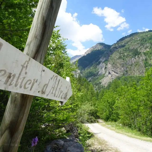
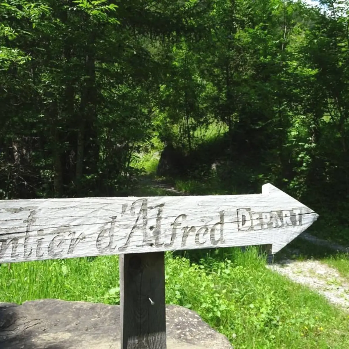
Information panels are installed all along the path
Check weather conditions before setting off.
Rescue services contact details: Secours Montagne (Mountain Rescue): +33 (0)4 92 22 22 22 or 112
Show consideration for the work of farmers, livestock keepers and owners
Close all gates behind you
Take your litter home
Do not take shortcuts across pastureland