See photos (2)

They du Mazet, the Rhône estuary

Sport, Pedestrian sports, Hiking itinerary in Port-Saint-Louis-du-Rhône
6.5 km
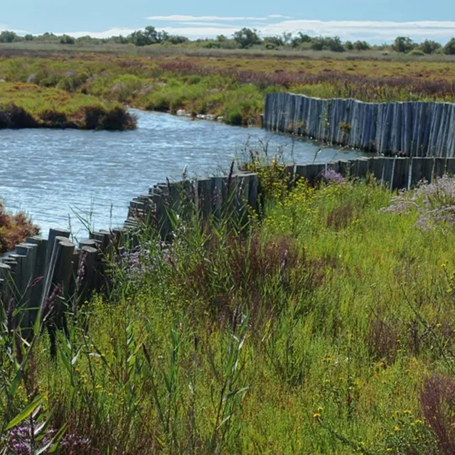
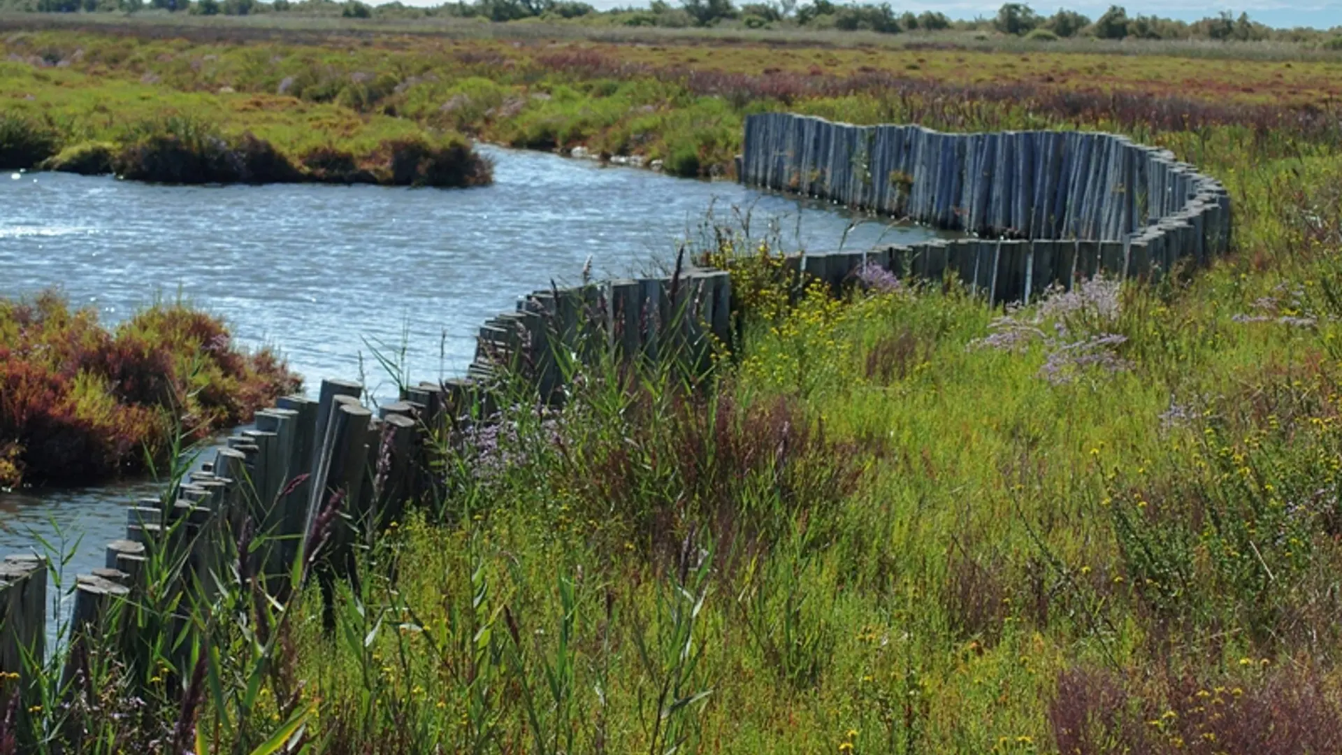
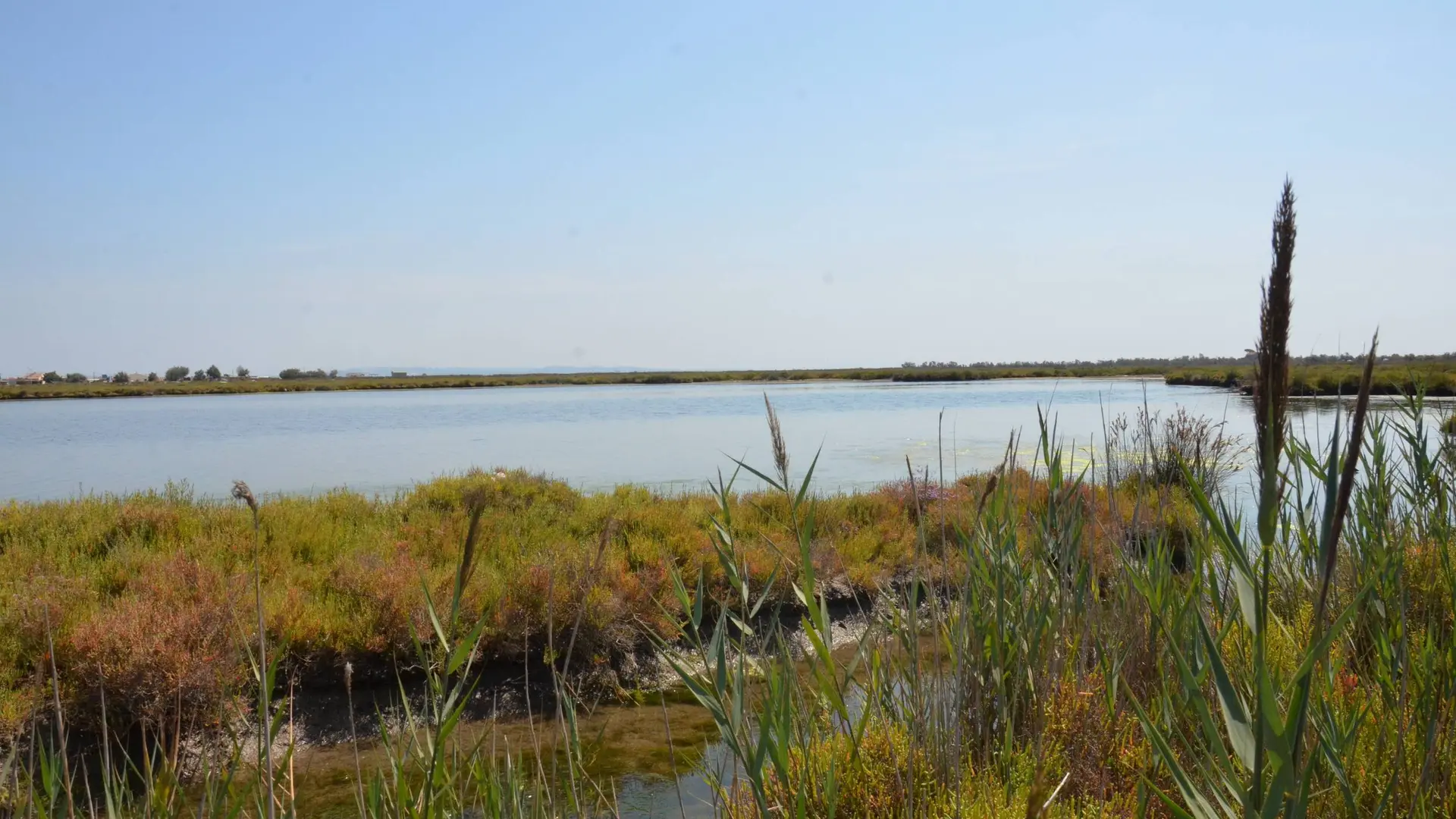
  • The They du Mazet, a remarkable wildlife and a wild coastal landscape of great beauty !

  • On the Route de la Plage Napoléon, start hiking to the Conservatoire du Littoral sign : " Theys de l'embouchure du Rhône". Continue the sandy path for more than 400 m.
    1 - After passing the "cordon dunaire" sign, at the bend, turn right to go to the "Le canal de Saint-Antoine" sign. Then follow the red arrows that lead to the sign "La Faune du Mazet" and continue to the next sign "Le Chevalier Gambette : une espèce en danger ". Continue to the gateway. After the gateway, follow the path to...
    On the Route de la Plage Napoléon, start hiking to the Conservatoire du Littoral sign : " Theys de l'embouchure du Rhône". Continue the sandy path for more than 400 m.
    1 - After passing the "cordon dunaire" sign, at the bend, turn right to go to the "Le canal de Saint-Antoine" sign. Then follow the red arrows that lead to the sign "La Faune du Mazet" and continue to the next sign "Le Chevalier Gambette : une espèce en danger ". Continue to the gateway. After the gateway, follow the path to the next gateway.
    2 - At the second gateway, turn around and take the path in the opposite direction to return to the starting point.

    Easy
  • Departure
    Port-Saint-Louis-du-Rhône
  • Difference in height
    7.33333 m
  • Departure : Route de la Plage Napoléon, Port-Saint-Louis-du-Rhône.
    Arrival : Port-Saint-Louis-du-Rhône.
    Road access : 40 km south of Arles, by the D35..
    Parking recommended : Le long de la route de la plage Napoléon, Port-Saint-Louis-du-Rhône .
    Public transport : Envia transport network : 40 km south of Arles, by the D35. www.pacamobilite.fr; www.lepilote.com .
  • Documentation
    GPX / KML files allow you to export the trail of your hike to your GPS (or other navigation tool)
7 meters of difference in height
  • Maximum altitude : 1 m
  • Minimum altitude : -2 m
  • Total positive elevation : 7 m
  • Total negative elevation : -8 m
  • Max positive elevation : 2 m
  • Min positive elevation : -2 m