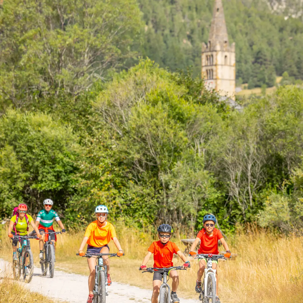
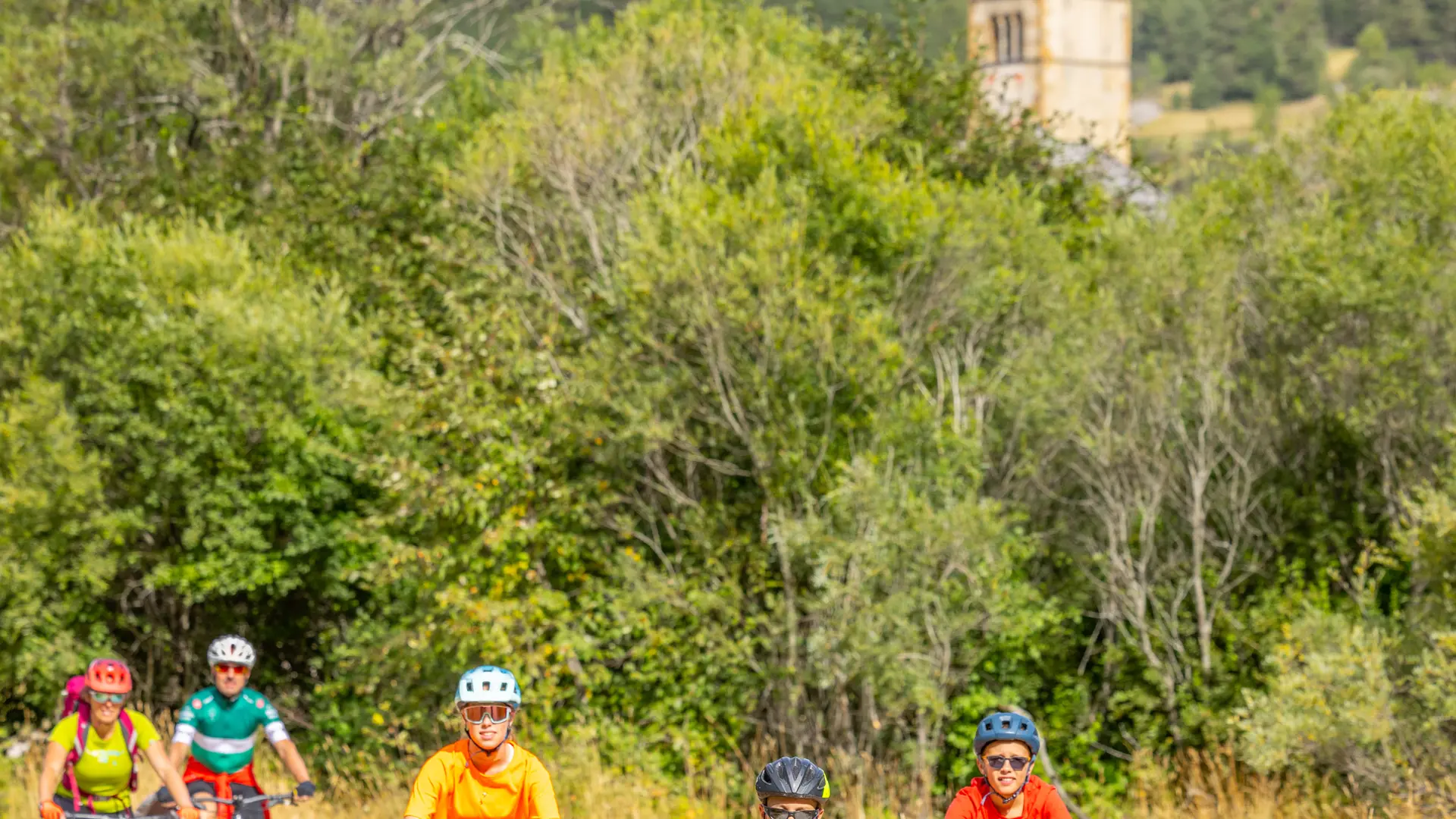
Depart from the Pont des Amoureux, join the Alberts,
climb slightly along a balcony path to Le Rosier. Continue along the Clarée on your left, reaching the Val des Prés communal oven,
cross the bridge and descend to Le Rosier on the Clarée asphalt road.
Turn right to climb above the hamlet on a carriageway,
Take the left-hand path, which descends towards Briançon. Climbs and descents alternate until you reach La Vachette on the asphalt road.
Cross the Clarée, then turn left at a fountain.
This asphalt road leads back to the Pont des Amoureux trail on the left before Les Alberts.
Read more