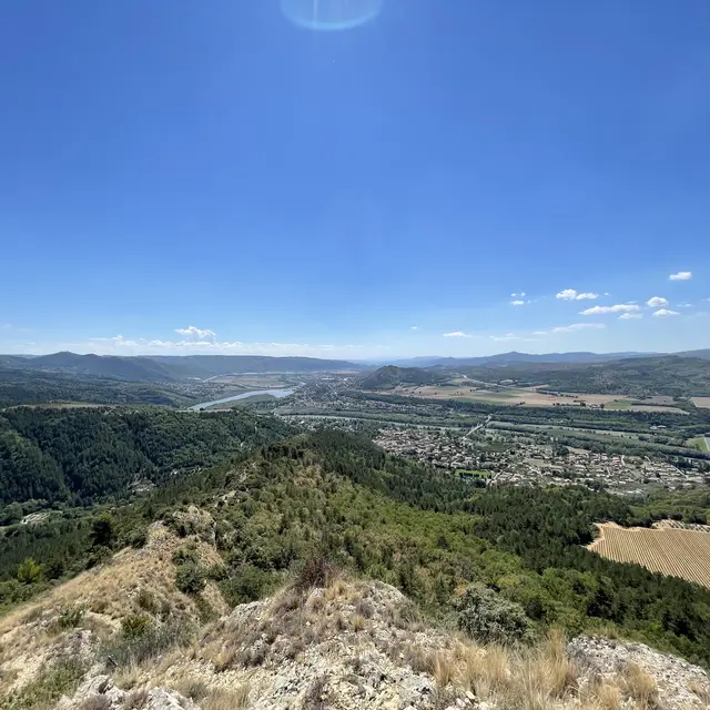
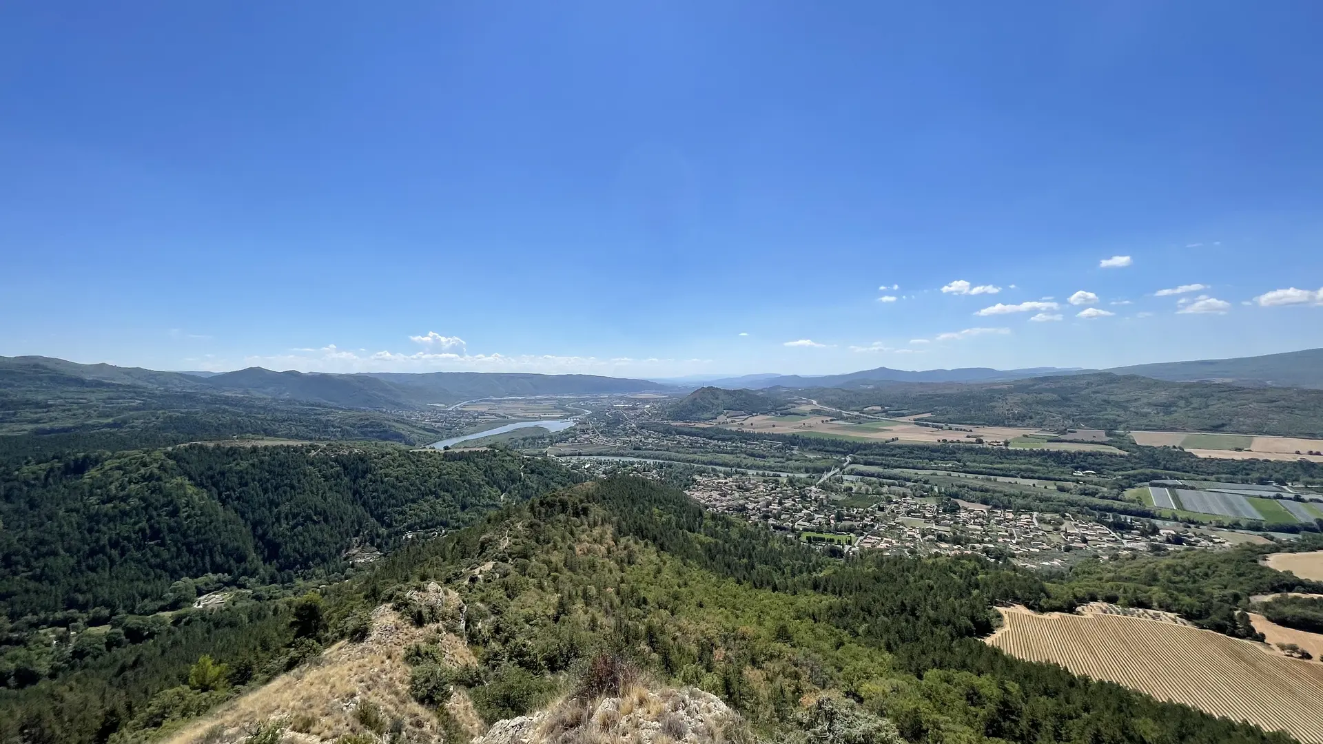
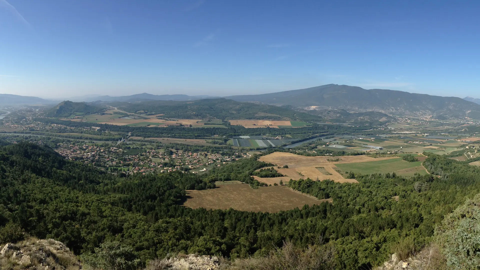
From the village square of Volonne, the route follows the same direction as that of the St Antoine belvedere. After passing some farmland, the path rises through a forest of Austrian black pines, from the reforestation carried out by the ONF, up to the large cistern. From there, leave the track to continue along the ridge. The climb is quite steep. When you join the track, the path branches off to the left, through the woods, until reaching pastures below the old sheepfold of La Fubie, inhabited until 1922, then gradually abandoned. The return takes place at the bottom of the ravine, first by a track, then over the last two kilometers by a small tarmac road which will take you to the village.
Read more