See photos (3)

Tour de la roche des Brigands

Sport, Pedestrian sports, Hiking itinerary in Hautes-Duyes
9.9 km
3h 15min
Hard
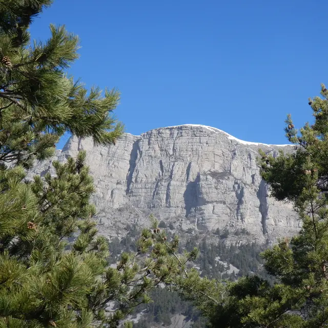
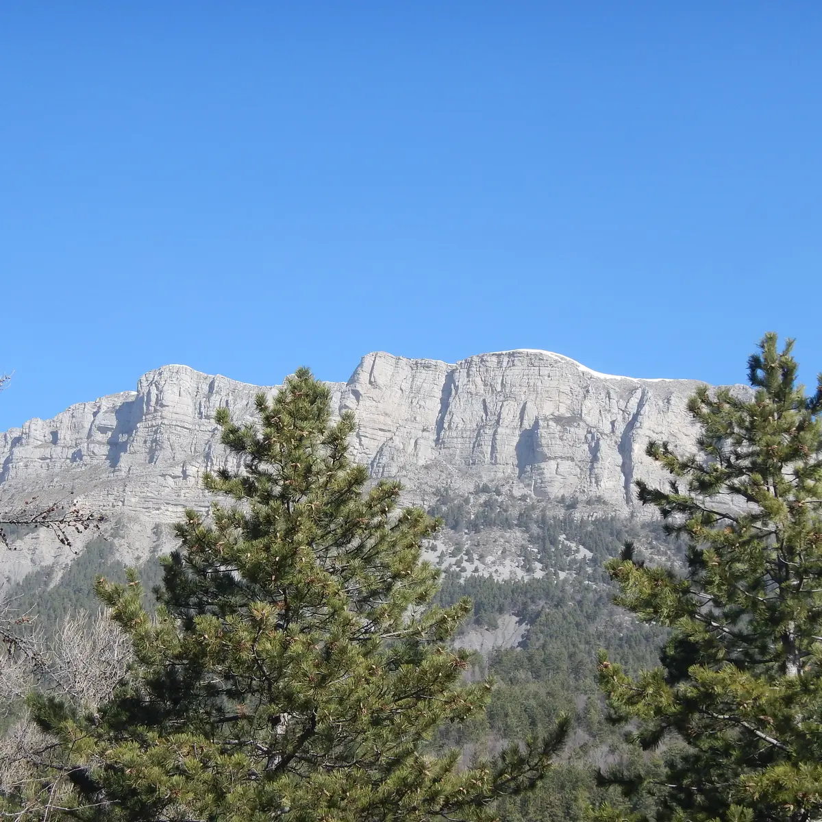
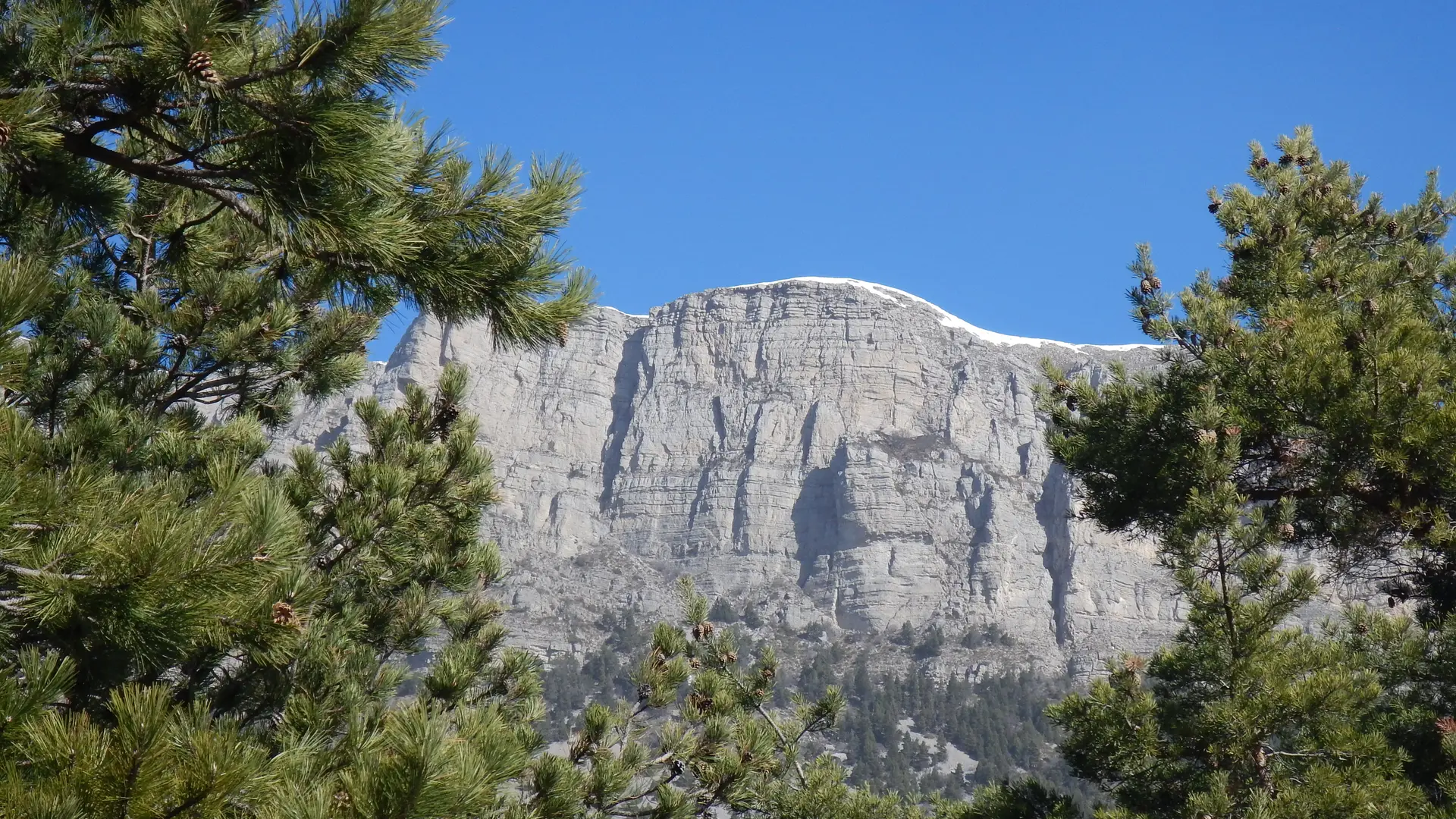
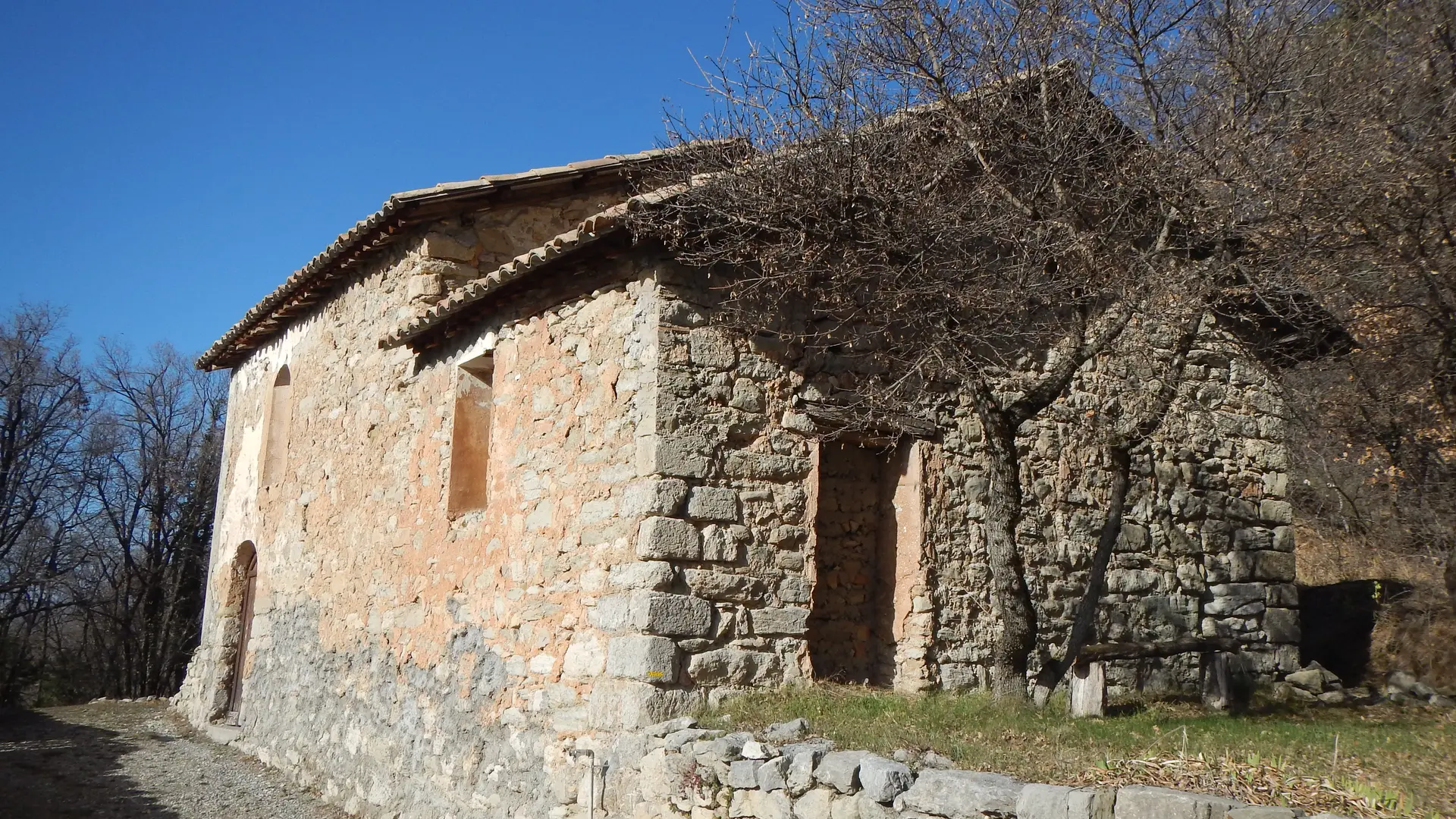
  • In a preserved natural environment, this hike accesses the old paths linking Mélan to the hamlets of Auribeau and Brigands, to geological sites and to panoramic viewpoints over the Duyes valley.

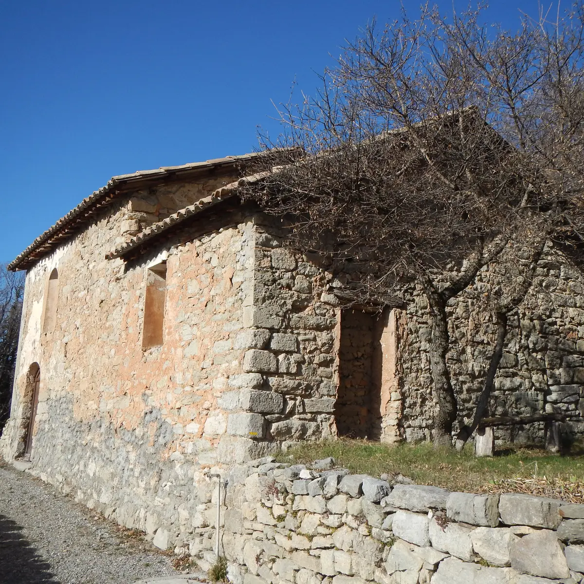
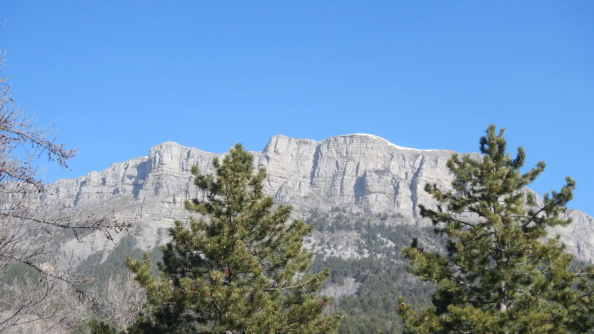
  • From the Col de l'Hysope and its viewpoint, the route descends to the Clue de Bramefan before going around the Roche des Brigands through its undergrowth of beeches and pines. Along the path between Auribeau and Mélan, we find the remains of the filioles on the side of the rock, and the hamlets of Brigands and Villard on each side of the Bramafan ravine. From the Col St Pierre there is a beautiful view of the Duyes valley and the Château d'Auribeau.
  • Departure
    Hautes-Duyes
  • Difference in height
    470.959 m
  • Environment
    • Mountain view
    • Panoramic view
    • Forest location
  • Spoken languages
    • French
  • Documentation
    GPX / KML files allow you to export the trail of your hike to your GPS (or other navigation tool)
  • Accepted customers
    • Level red – hard
471 meters of difference in height
  • Maximum altitude : 1279 m
  • Minimum altitude : 1039 m
  • Total positive elevation : 471 m
  • Total negative elevation : -471 m
  • Max positive elevation : 167 m
  • Min positive elevation : -232 m
Services
  • Equipment
    • Free car park
    • Car park
  • Services
    • Pets welcome