See photos (2)

Tour de la Ste Victoire

Sport, Cycling sports, Cycle tourism route in Aix-en-Provence
Unresolved hours
62.4 km
4h
Hard
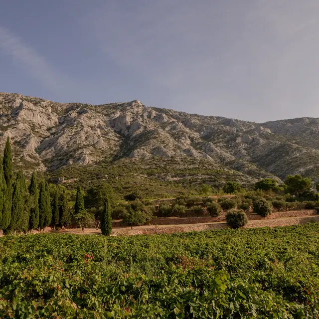
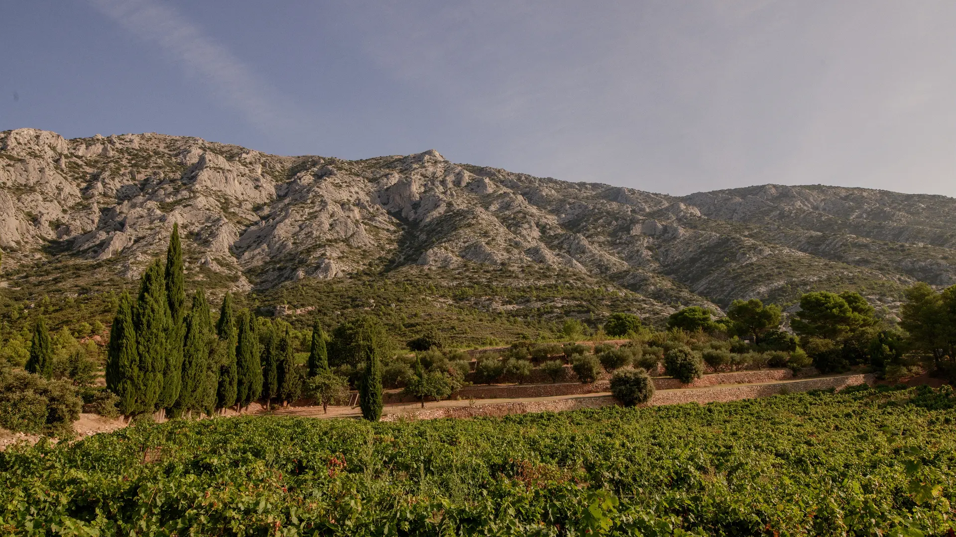
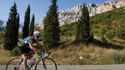
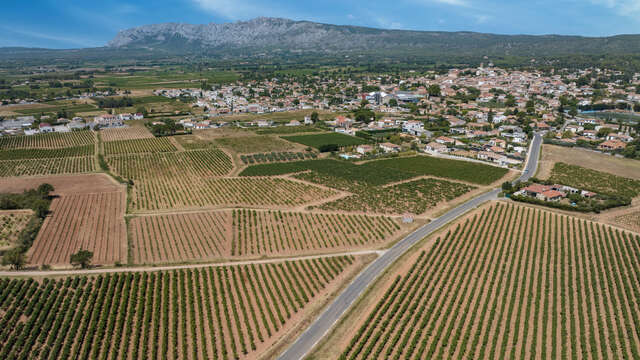
  • Cycling itinerary on the most beautiful roads around the Montagne Sainte Victoire. 4 hours (60km) for experienced cyclists. This loop takes in the 2 faces of the massif: plateau and forest, then the spectacular rocky cliffs.

  • It extends over 60 km, starts in Aix-en-Provence and goes around a natural myth in Provence: welcome to the Tour de la montagne Sainte-Victoire by bike! After a rather sportive first part between hilly vineyards and perched villages, conclude gently by the Cézanne route.
  • Departure
    Aix-en-Provence
  • Difference in height
    1079.43 m
  • Plain text period
    All year round.
  • Documentation
    GPX / KML files allow you to export the trail of your hike to your GPS (or other navigation tool)
1079 meters of difference in height
Created with Highcharts 6.2.0Distance (km)Altitude (m)0 km5 km10 km15 km20 km25 km30 km35 km40 km45 km50 km55 km60 km100 m200 m300 m400 m500 m600 m700 mHighcharts.com
  • Maximum altitude : 648 m
  • Minimum altitude : 177 m
  • Total positive elevation : 1079 m
  • Total negative elevation : -1079 m
  • Max positive elevation : 181 m
  • Min positive elevation : -218 m