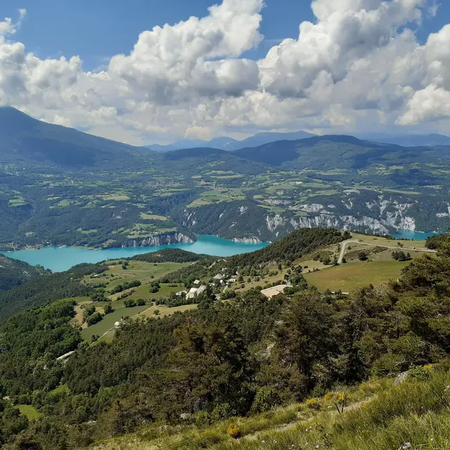
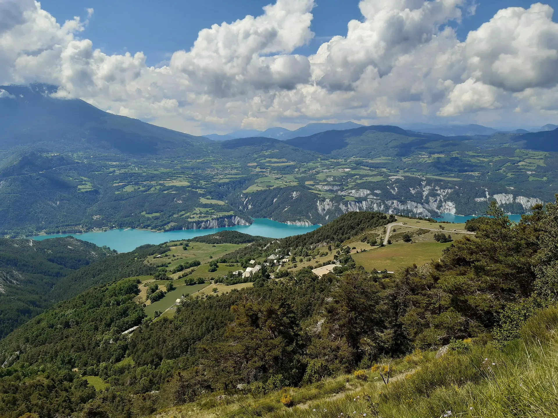
- Voir les favoris
Tour de l'Auche
Sport, Cycling sports, Mountain biking itinerary
in Pontis
2.9
km
-
A short continuous circuit. A fun descent through the pines immediately follows a climb with a plunging view of the lake.
-
The start is from the roadman’s hut 200m before the summit of the pass via Pontis. The route immediately follows a steep asphalt ascent. At the intersection of two roads shortly afterwards, turn left and continue for several hundred metres on the track that runs alongside the road.
Take a left when the track appears to split in two, staying on an uphill section. Then turn left through a 180° bend, onto a path that rises up through the meadows and is partially grassed. This path leads to a...The start is from the roadman’s hut 200m before the summit of the pass via Pontis. The route immediately follows a steep asphalt ascent. At the intersection of two roads shortly afterwards, turn left and continue for several hundred metres on the track that runs alongside the road.
Take a left when the track appears to split in two, staying on an uphill section. Then turn left through a 180° bend, onto a path that rises up through the meadows and is partially grassed. This path leads to a clearing that you have to cross through to descend into the pines. Follow the woodland path, then turn right at the intersection shortly after the track widens. Turn left after 100 m and then right once back on the track to reach the starting point.
Easy
- Departure
- Pontis
-
-
Difference in height
- 127.489 m
-
-
-
Departure : Roadman's hut, Pontis.
Arrival : Roadman's hut, Pontis.
Road access : From Savines-le Lac, follow the D954 then the D7 towards Pontis and the Col de Pontis.
.
Parking recommended : Col de Pontis, Pontis (park along the road) .
- See all reviews
- 127 meters of difference in height
-
- Maximum altitude : 1452 m
- Minimum altitude : 1315 m
- Total positive elevation : 127 m
- Total negative elevation : -127 m
- Max positive elevation : 81 m
- Min positive elevation : -13 m
