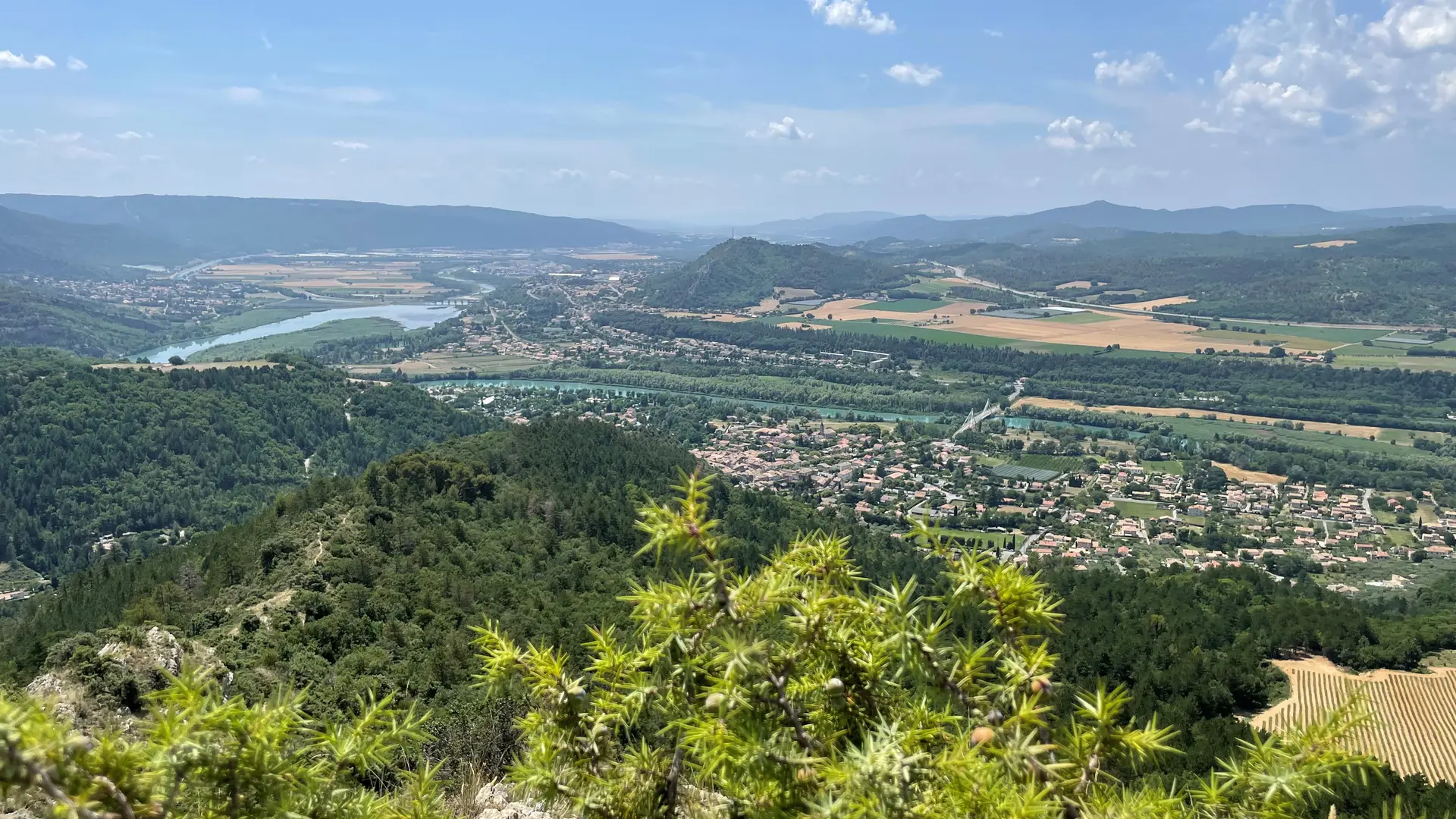
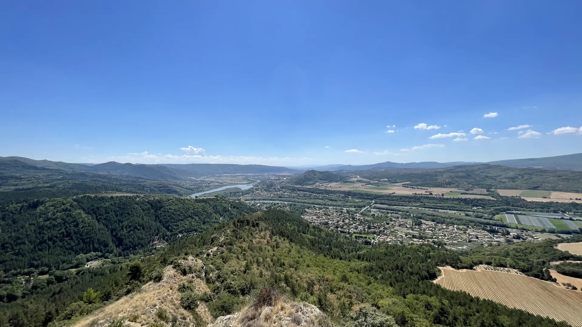
Departure from the place of the town hall of Volonne. The route begins by crossing the village of Volonne, in the direction of Les Deux Tours, which you will soon leave on your right. After a fairly steep climb, but offering a beautiful panorama, the path continues crossing on the south-eastern flank of Tigne, by forest paths. It then descends gradually towards the lands of the Coques farm. The return is made by the old road from Sourribes and Beaudument, on a wide shaded path which dominates, in places, the deep ravine of the Combe, a wild paradise for wild boars and birds. The last part of the circuit takes the small paved road of the Ravine de la Grave for 1,5km. The return is via the old path that linked Volonne to the Château de Beaudument.
Read more