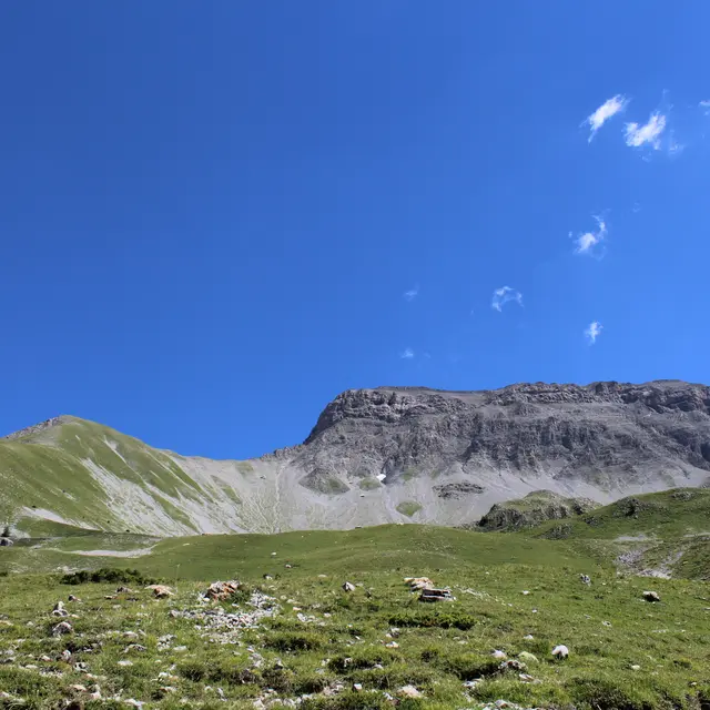
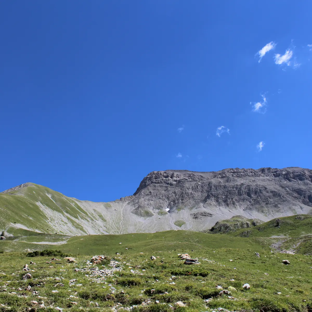
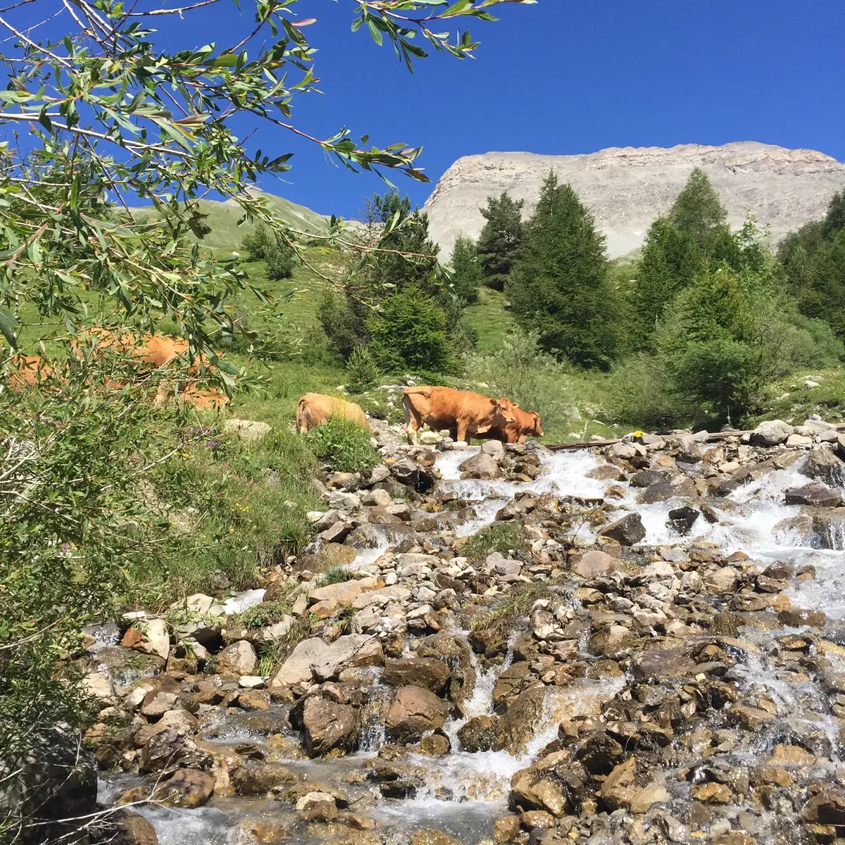
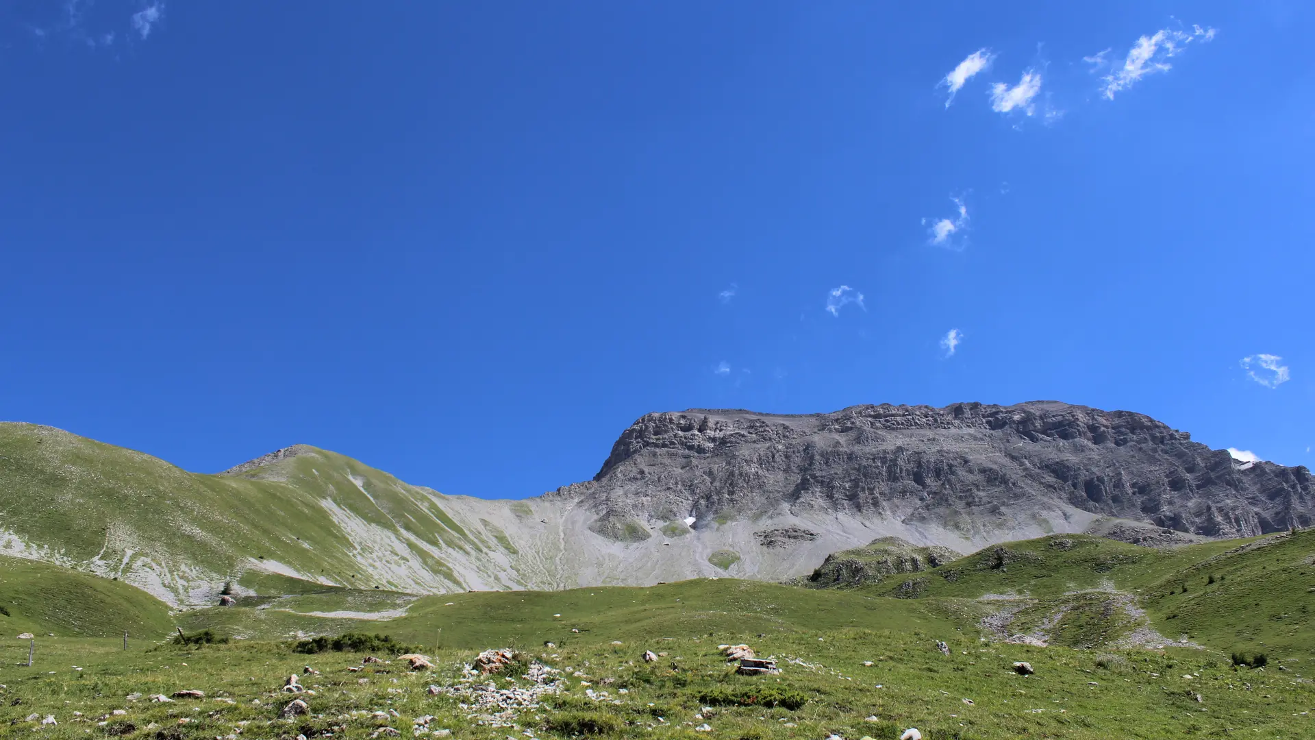
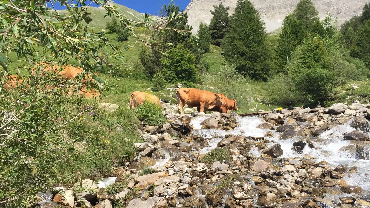
A route partially in the forest, at the sources of the Blanche, very important flora in June and July, below the Blanche range and Roche close, grazing area for cattle and horses.
From the car park along the Blanche ravine, after the wooden bridge located at the exit of the hamlet of Maure.
The route follows the Blanche torrent to the Mulets cabin then continues on the right, on a path in a larch forest to the Grande Montagne mountain pastures. The return is on the southern slope of Tourtourel, more arid, and returns through the forest to the starting point.
Ravin de la Blanche – From the bridge, go up the track on the left bank. At the first hairpin bend, follow the path straight ahead. It follows the stream, crosses it twice then climbs on a ridge to the Mulets cabin.
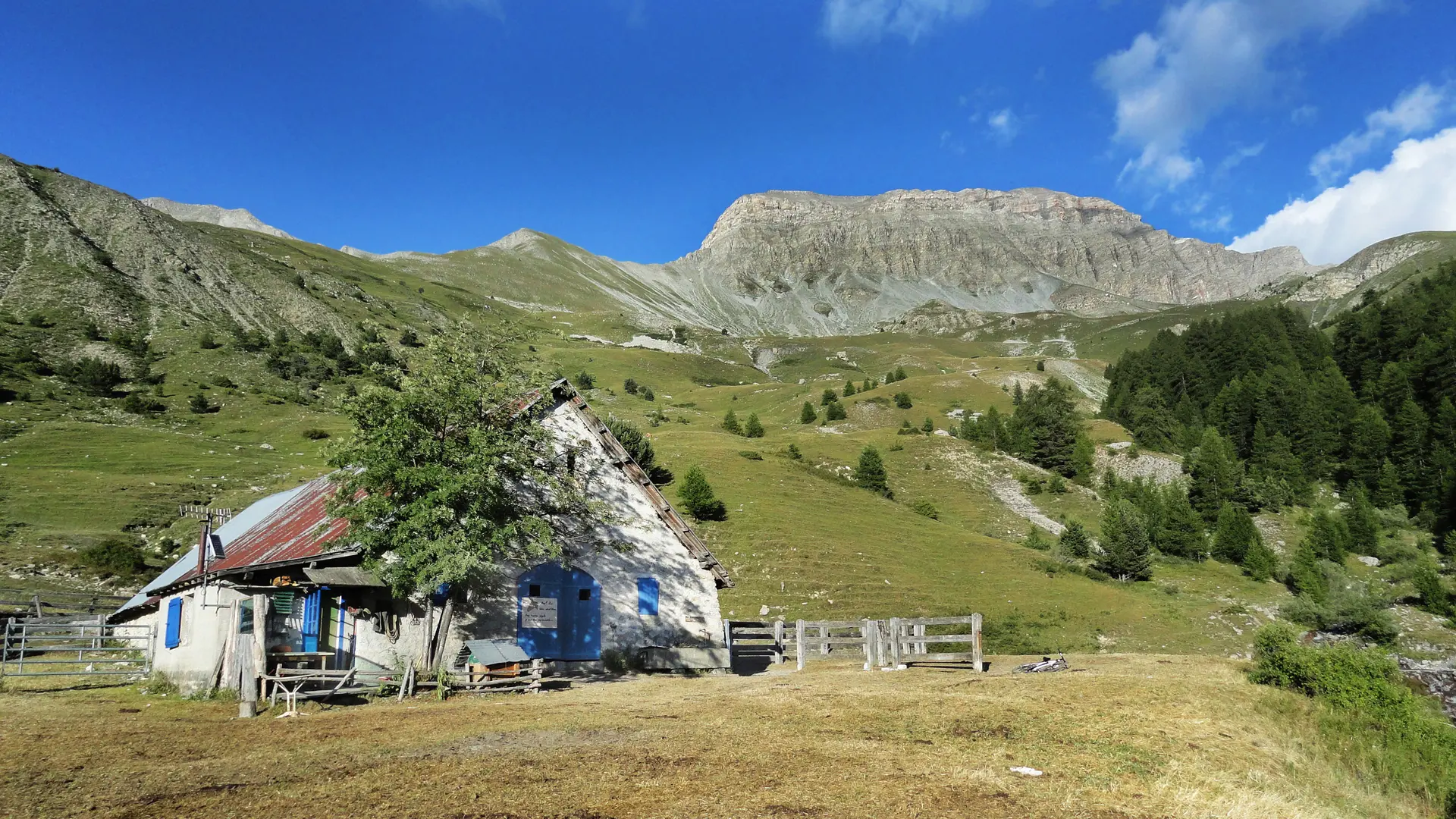
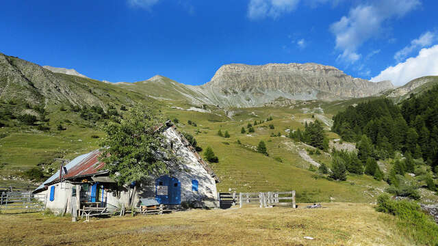
Cabane des Mulets – Cross the torrent and go up to the left towards the woods. A little further up, find a path which crosses to the right in the larch forest. After crossing several valleys and wooded ridges, the path leaves the woods and emerges into the mountain pastures at a pass. The cows having multiplied the paths, pay attention to the markings and follow the correct path.
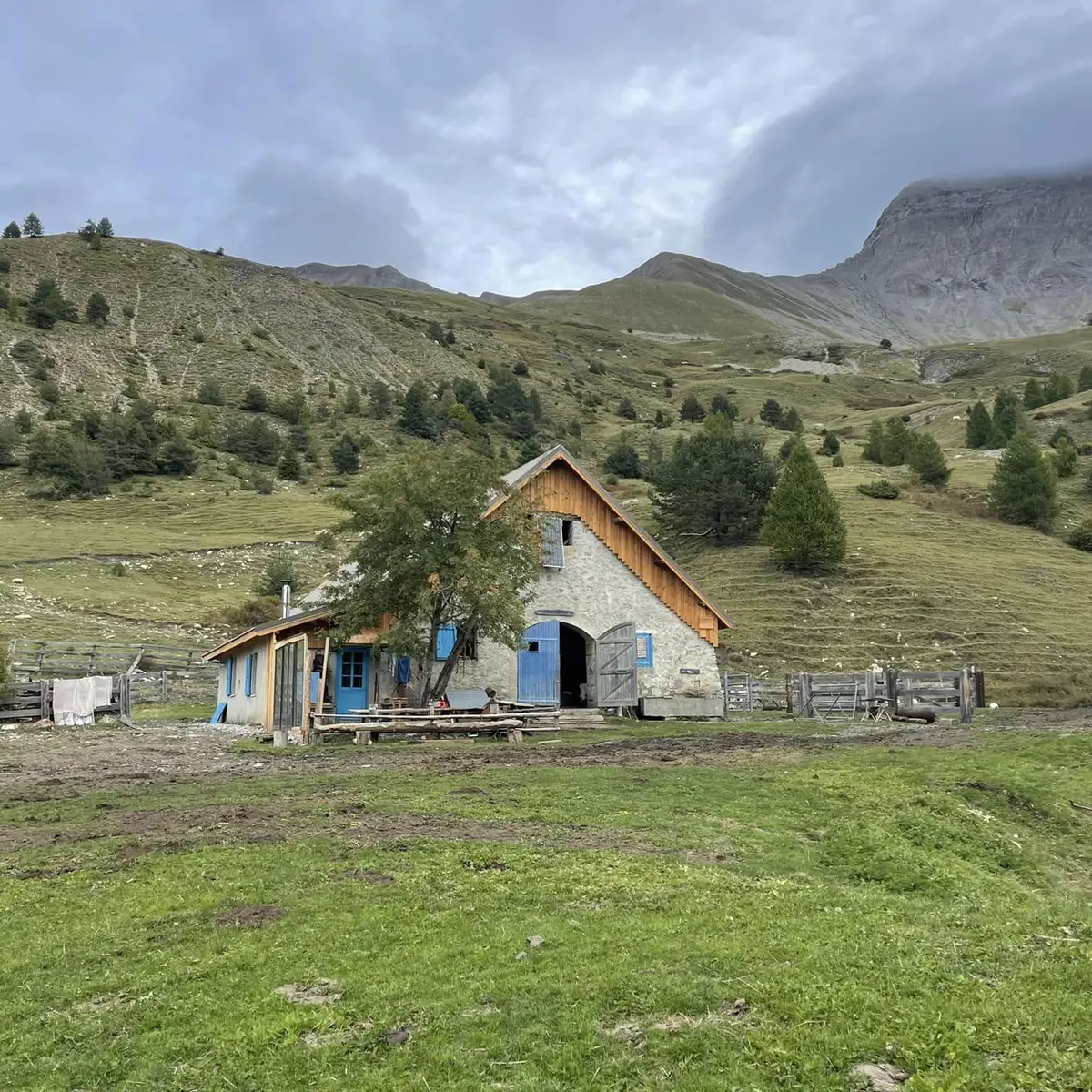
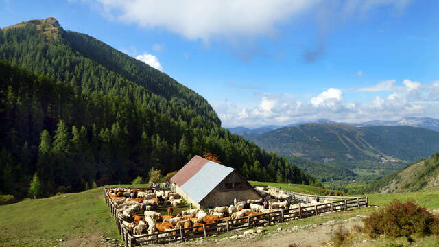
Cougnet de l'Alisier – From the collar, continue straight ahead and go down the opposite slope, in bends along a ridge. Join a vehicle track, follow it on the left to the pastoral cabin of Couloubroux. At the edge of the ravine, turn right and follow the path which goes flat into the meadow (pay attention to the markings, the cows have increased the number of paths). Cross the southern slope of Tourtourel, cross the rocky bar of the same name then continue into the forest. After two bends, the path goes steeply down the slope then goes flat to the right at a wetland. After crossing the Touisses ravine, return to the starting point via the forest path.