Village d'Uvernet-Fours

Tour des Chapeliers by Uvernet-Fours & Saint-Pons

Sport, Cycling sports, Cycle tourism route in Barcelonnette
18.8 km
  • Evening ride.
    Short ride - a good warm-up activity or a late afternoon excursion.

  • Depending on which way you turn, you may have to tackle the dreaded Lauze climb.

    Only about a kilometre of the route is on the main road, and the rest is a succession of short, very pleasant climbs and descents.

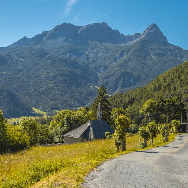
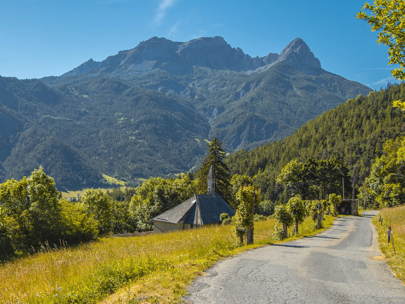
    On the Ubac side, you'll pass through forests and pastures.

    If you're in good spirits, you can finish the route with the ascent to Pra Loup.
  • Departure
    Barcelonnette
  • Difference in height
    300.547 m
  • Plain text rates
    Free of charge.
  • Documentation
    GPX / KML files allow you to export the trail of your hike to your GPS (or other navigation tool)
301 meters of difference in height
  • Maximum altitude : 1209 m
  • Minimum altitude : 1096 m
  • Total positive elevation : 301 m
  • Total negative elevation : -301 m
  • Max positive elevation : 63 m
  • Min positive elevation : -80 m