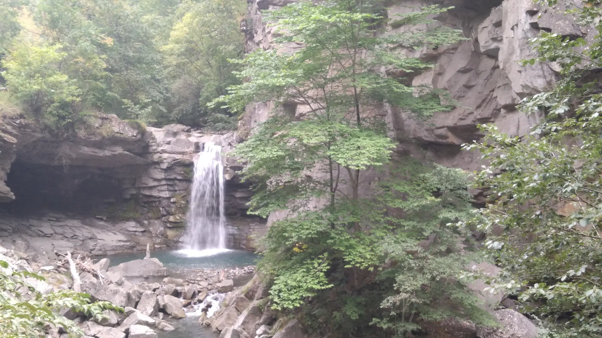
The Verdaches gorge, where the "Bès" torrent flows, presents a landscape in two shades. Near the torrent, we observe dark and black rocks, and above, an enormous light gray rock bar that draws vertical walls. The layers of the lower part of the gorge contain a large proportion of organic matter transformed into coal, hence its black color. Plant fossils are numerous there. We find all kinds of tree ferns, giant horsetails related to those of our current wetlands or even large trees that no longer have any equivalent today. These fossils make it possible to date the rocks to -305 million years, or to the Upper Carboniferous (primary era).
Read more