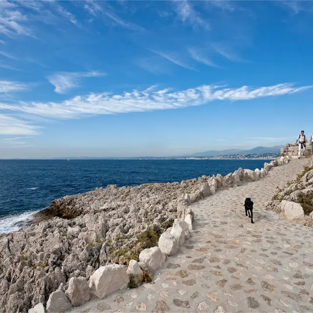
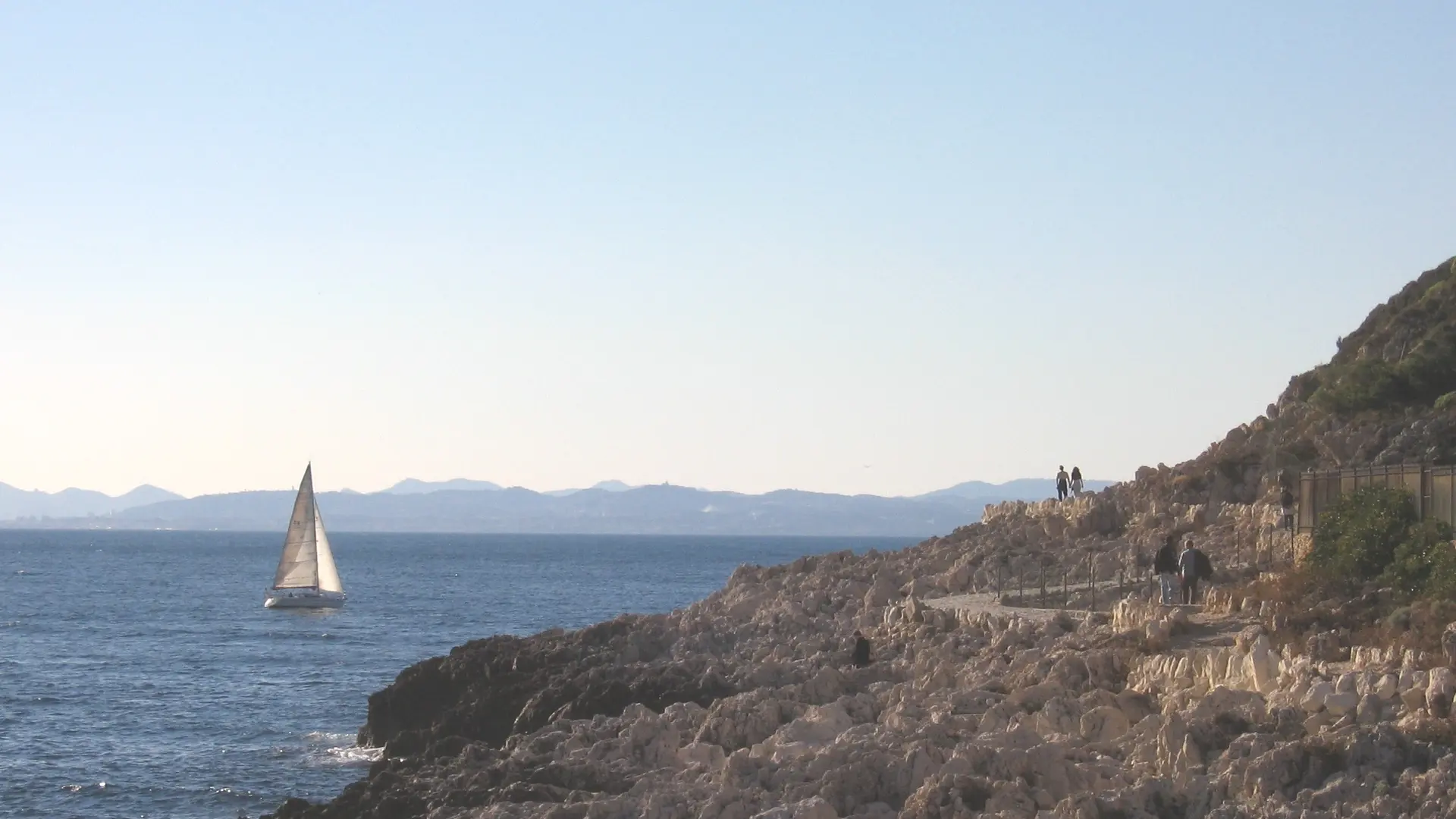
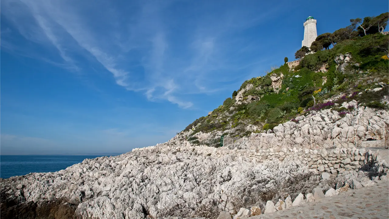
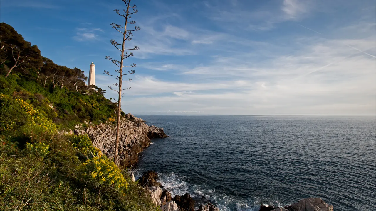
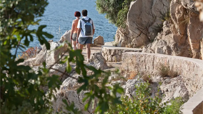
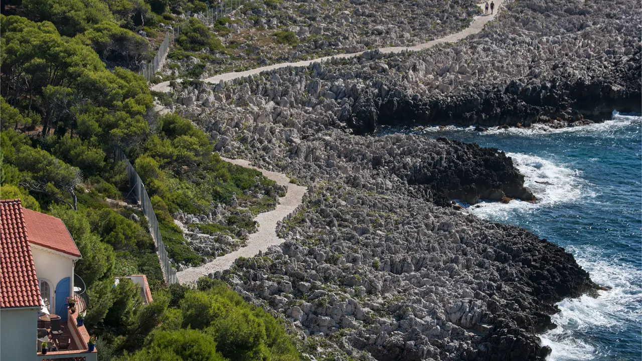
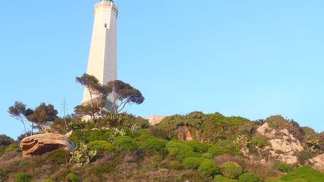
The coastal path cuts a path through the limestone cliffs or along the edge of the sharp reefs from which the Cap-Ferrat lighthouse protected sailors for decades.
The trail starts on the chemin de la Carrière path, named after the former quarry, from where the stones, used to build the Port of Monaco, were extracted. The path hugs the coastline, passing below the Grand-Hôtel du Cap-Ferrat , a 5-stars Four Seasons Hotel with its mythical pool, before reaching the lighthouse and the Pointe Malalongue headland.
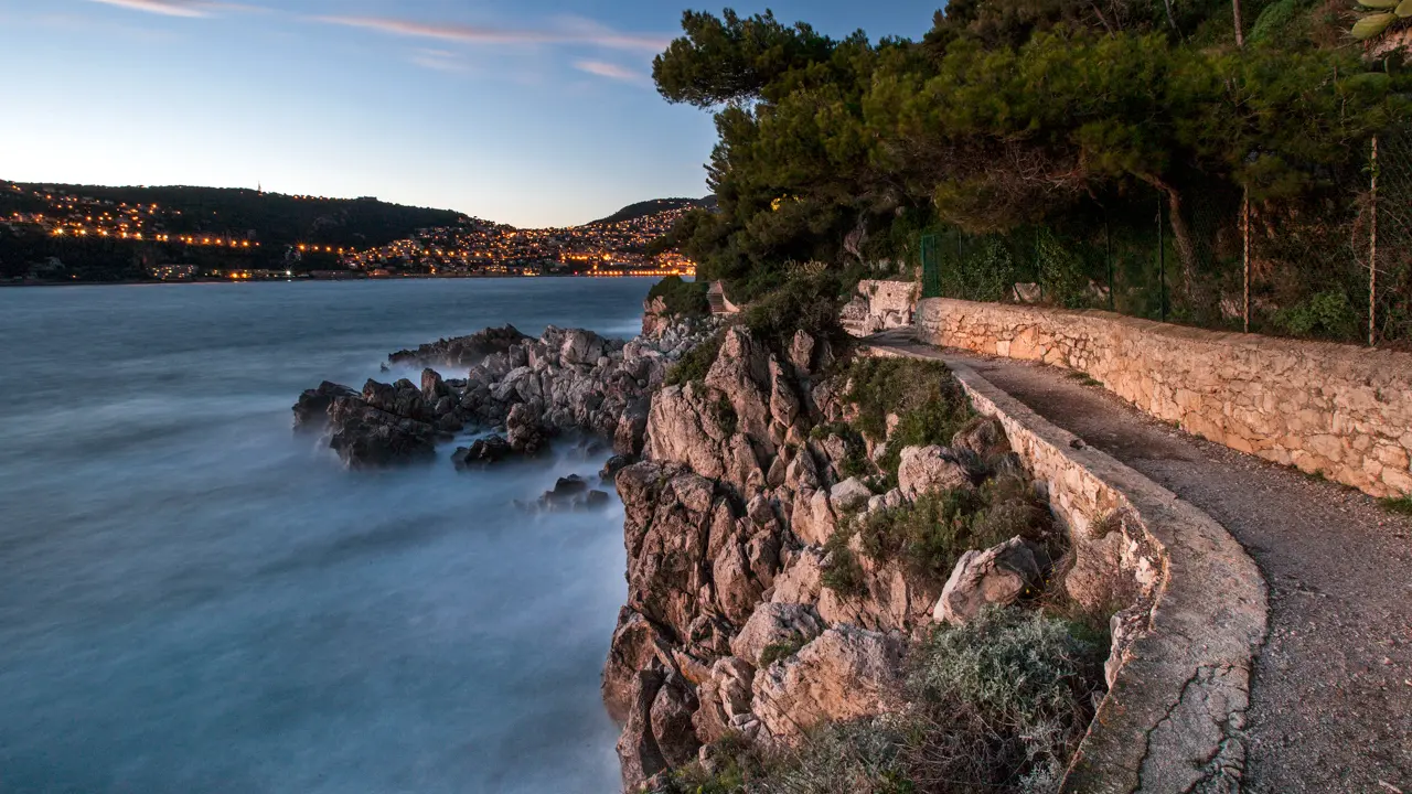
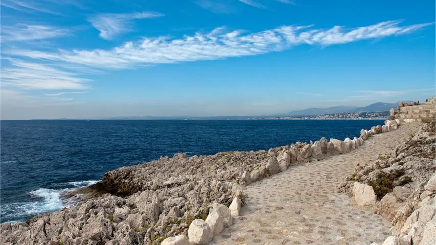
On a clear day, there is a fabulous view across to the Nice headland and the Estérel mountains from the foot of the lighthouse. You’re now on the west side of the peninsula, which boasts a succession of coves, following one after the other, until you reach the steps marking the end of the trail. Turn left and follow the path, along the road, leading to “Le Lido” residence, then cross the car park to reach Passable beach.T