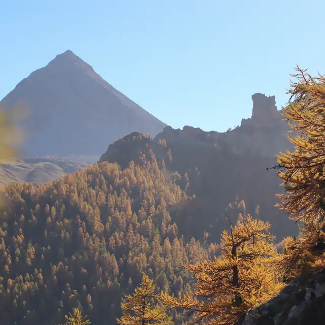
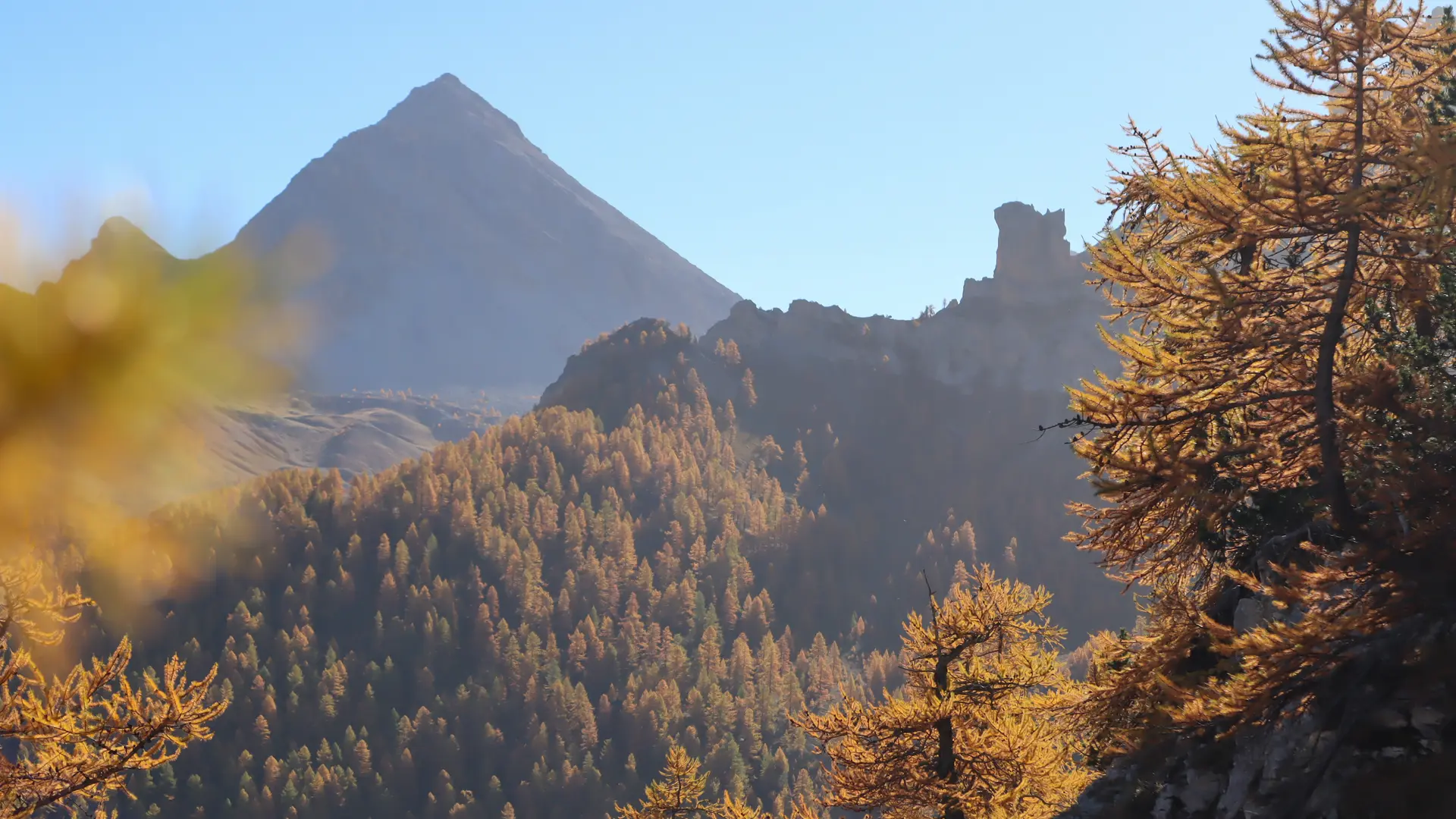
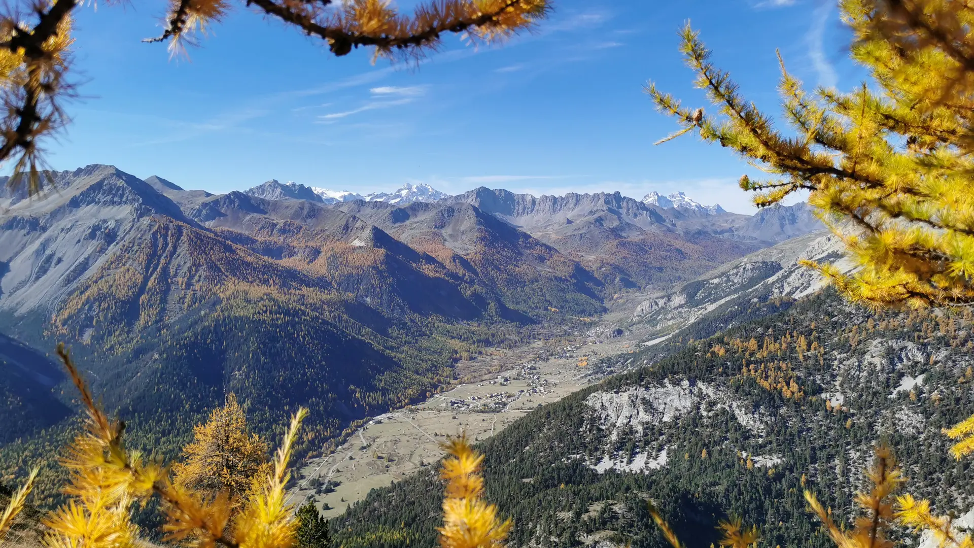
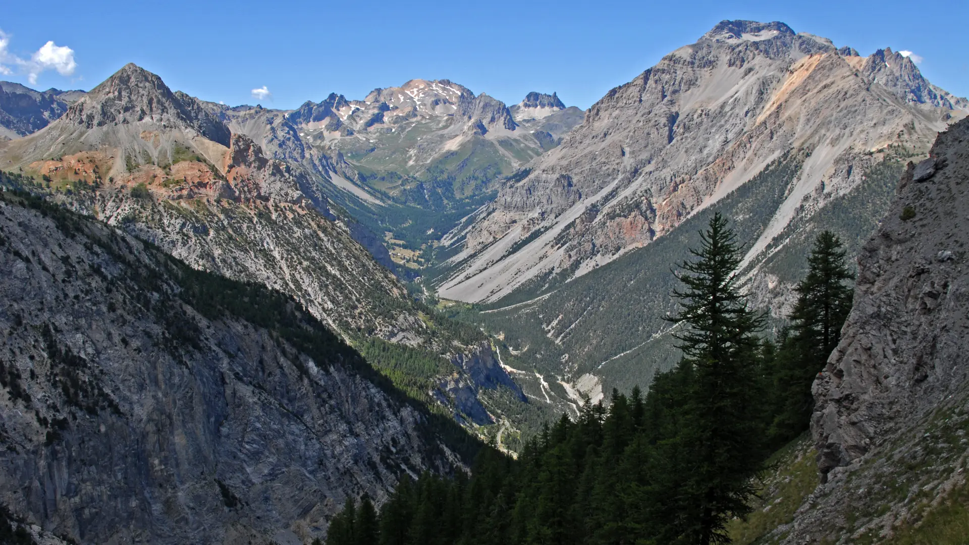
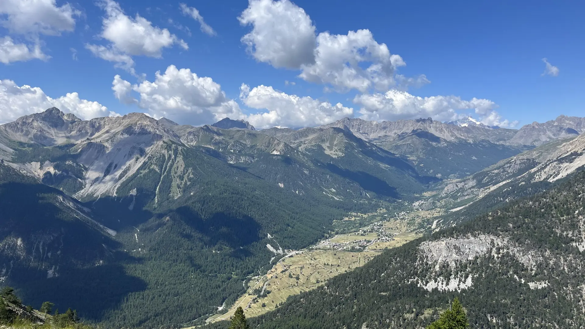
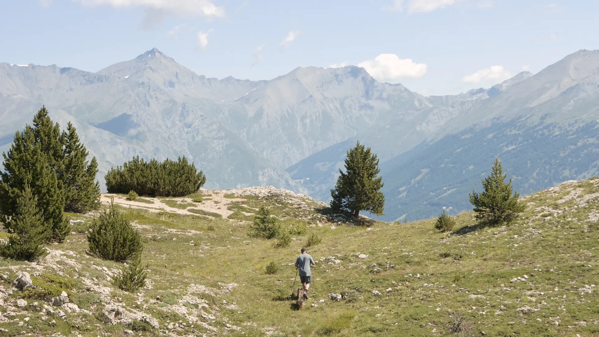
This long hike, most of which starts in the forest, takes you through the wild Acles valley, where you can see many animals, before crossing the Italian border over the pass of the same name.
Park at Plampinet, then take the small forest road above the village and follow it to the Col des Acles (a path leads off to the right at the entrance to the Acles valley).
Caution: this trailhead is in direct sunlight, so it's best to start the hike early.
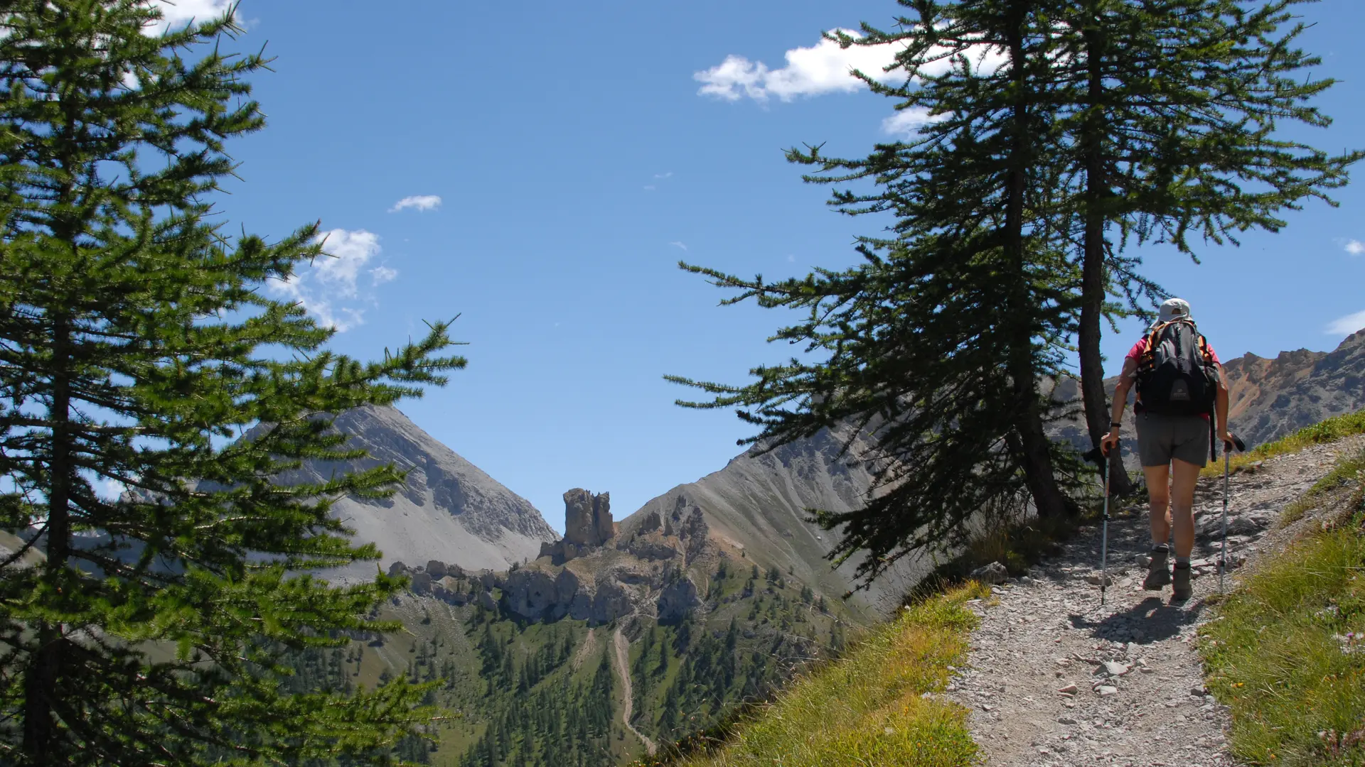
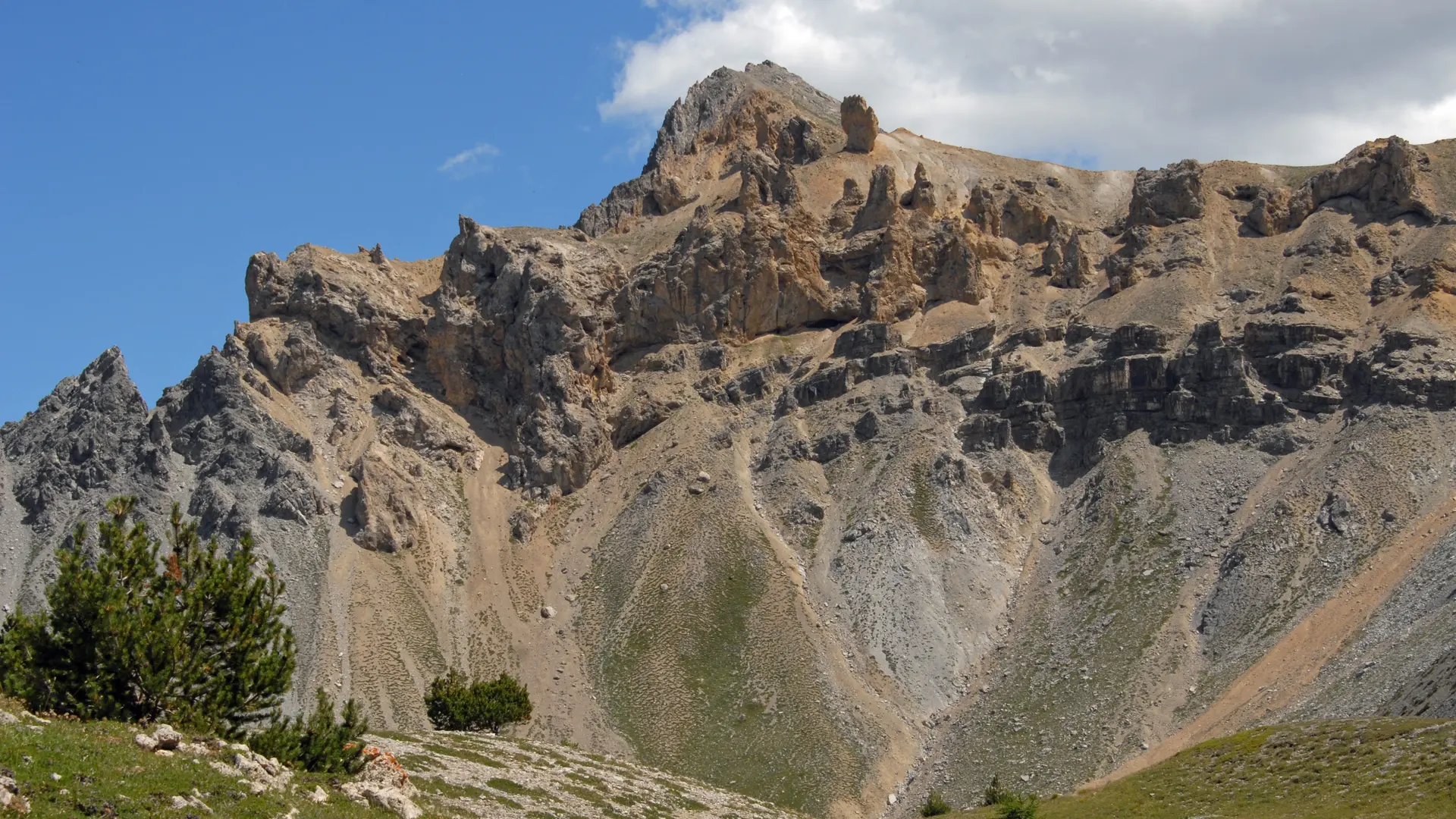
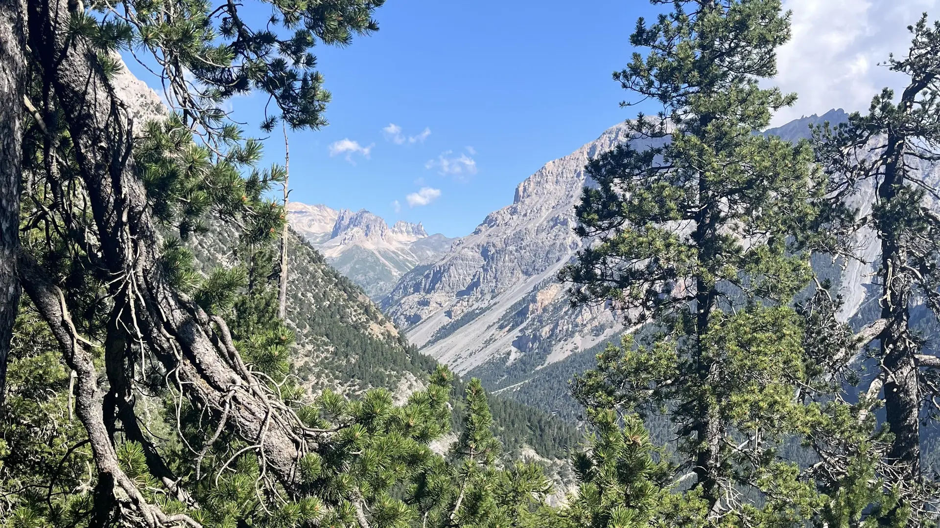
Once at the col, descend on the Italian side, skirting the summit of the Guion on the left. The path leads down to the end of the col de l'Échelle, then return to the start of the col (on the French side).
You can also leave a car at the end of the Col de l'Echelle to avoid the return trip.