See photos (8)

Tour du Pic de l'Aigle

Sport, Pedestrian sports, Hiking itinerary in Savournon
13.3 km
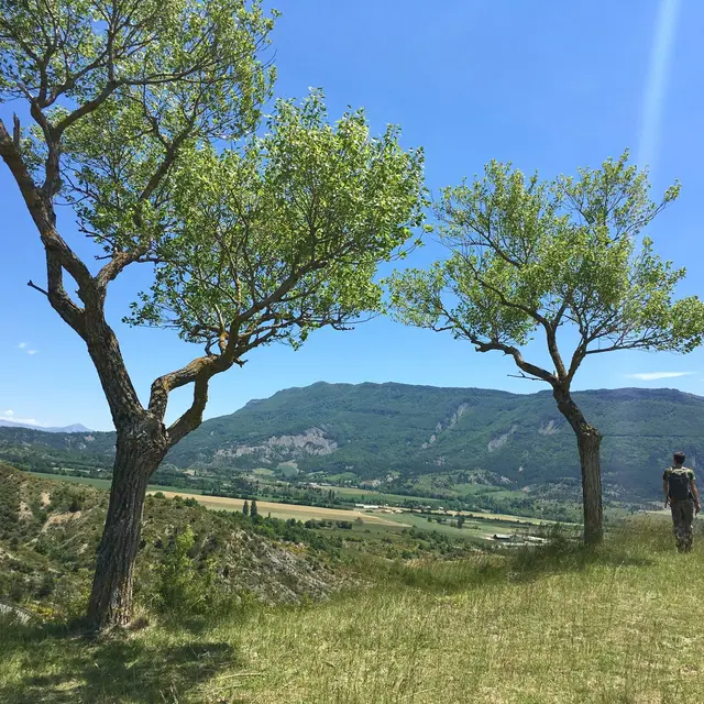
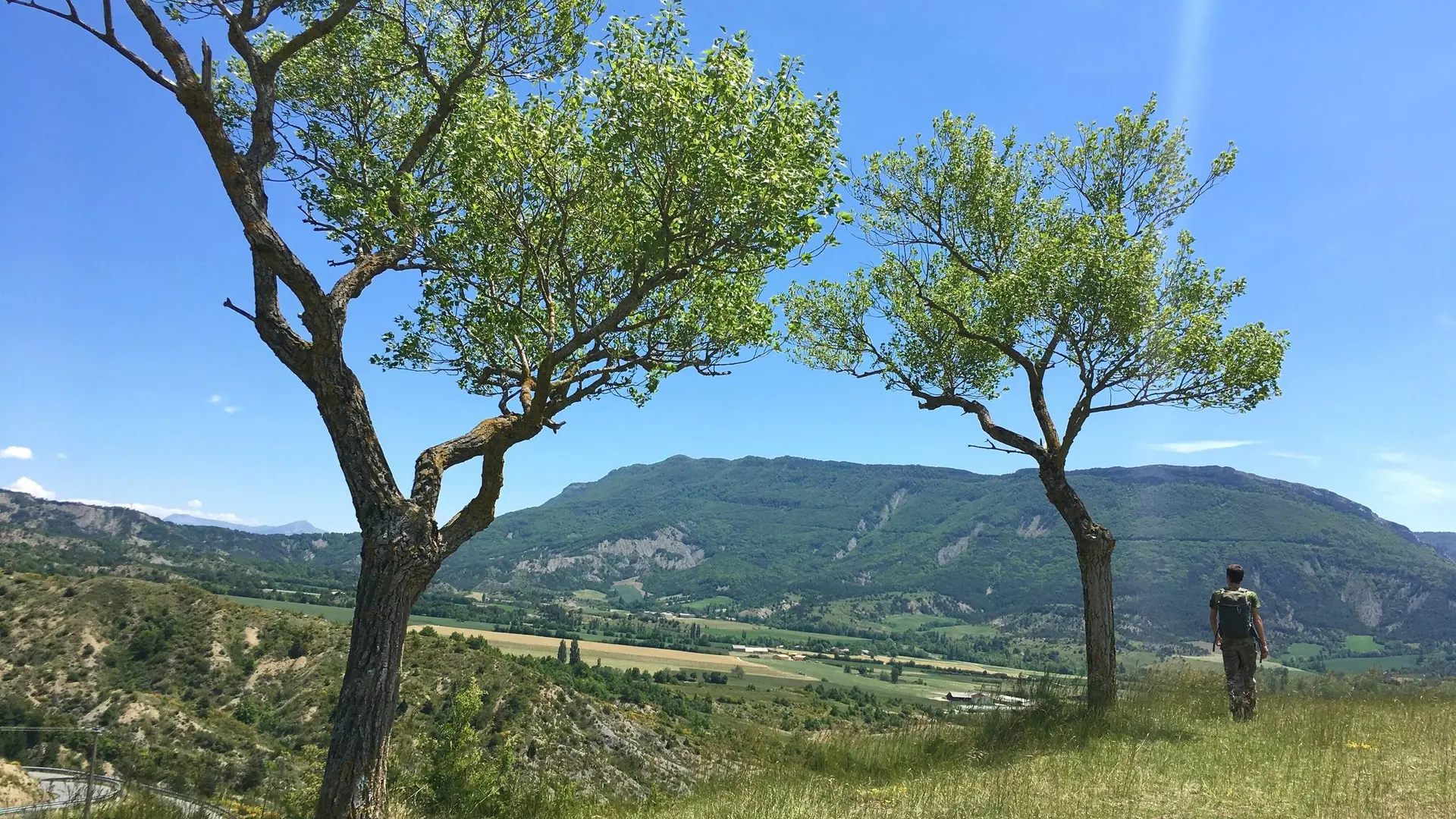
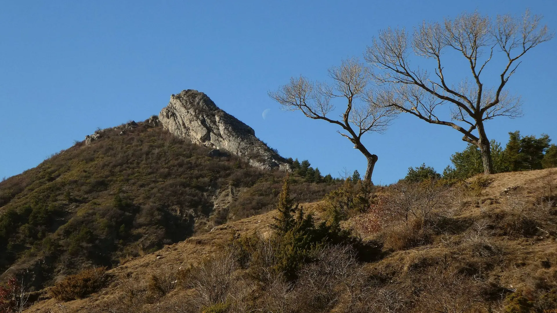
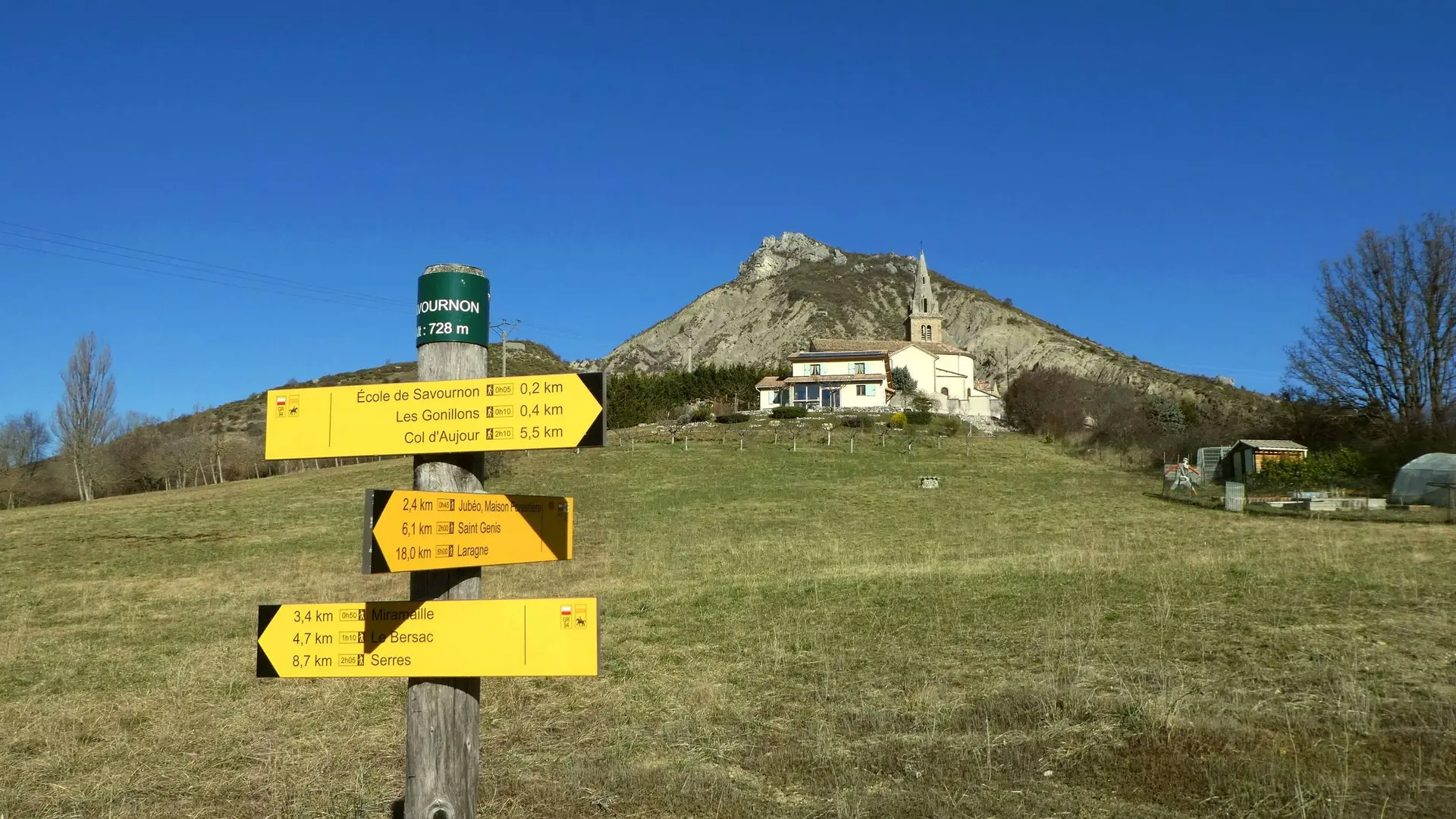
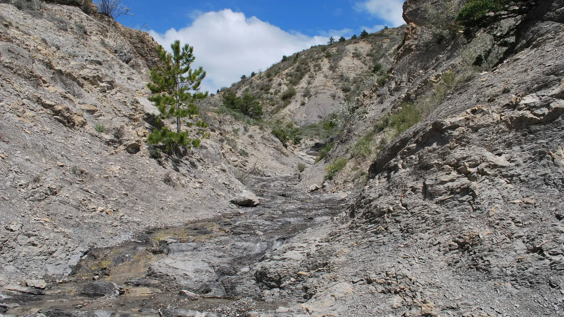
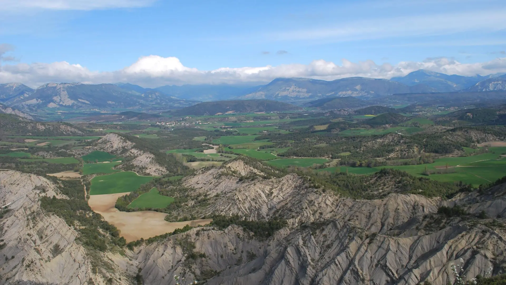
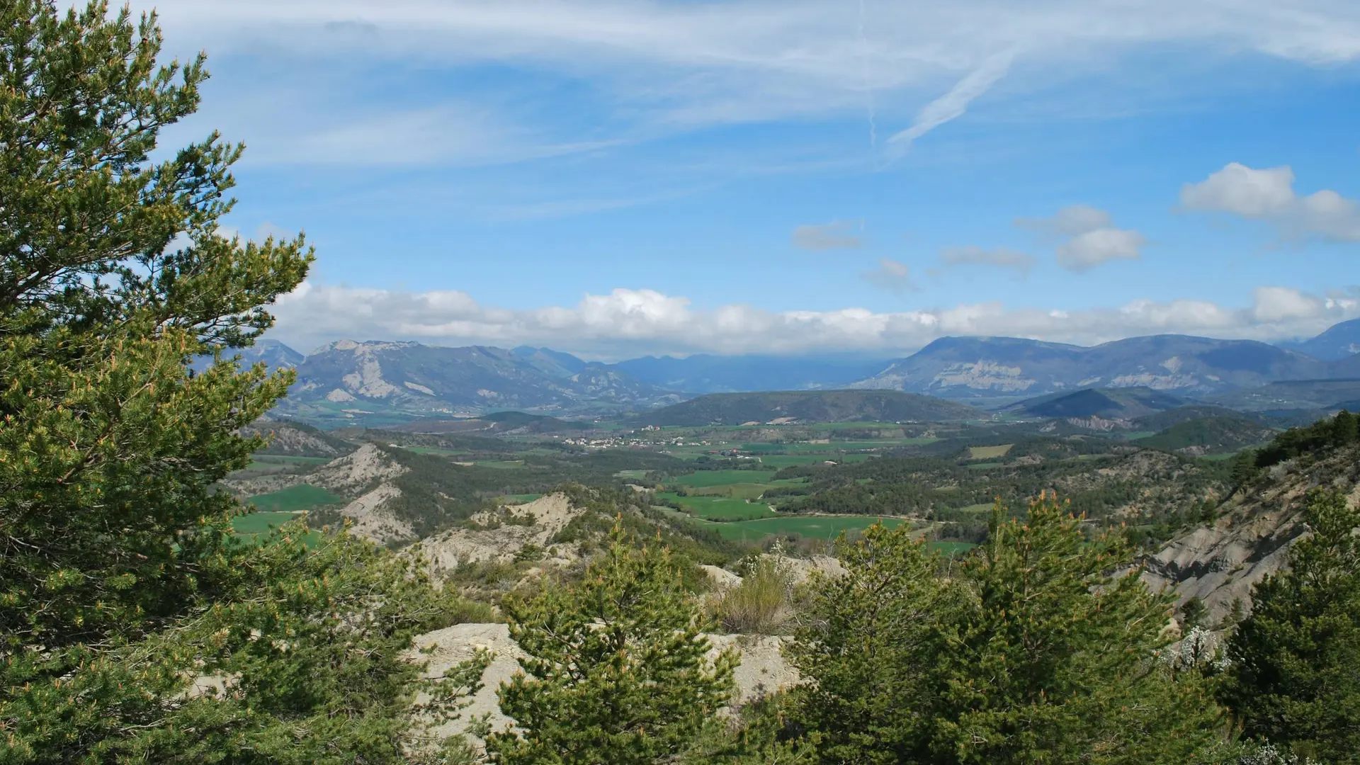
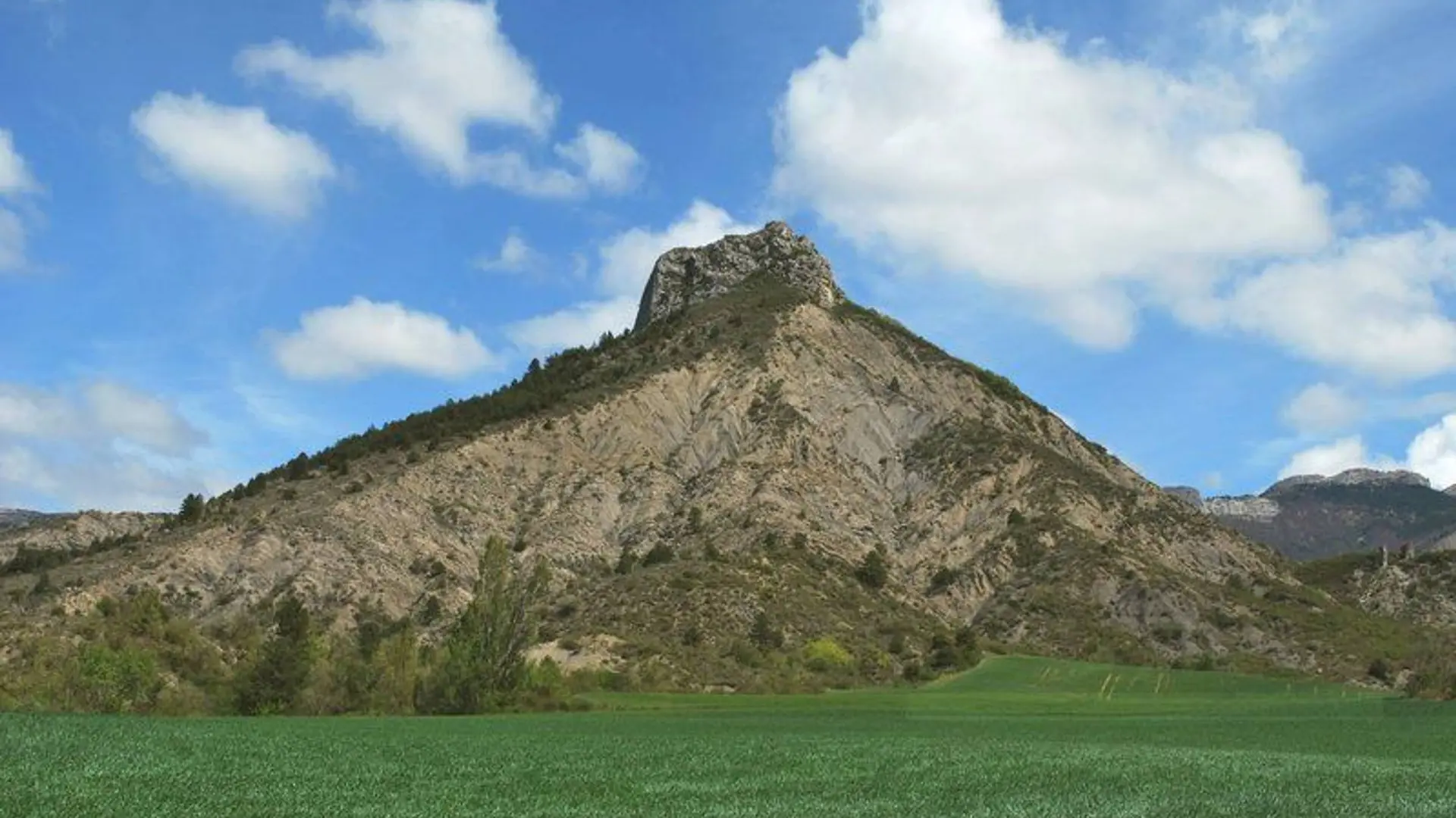
  • Throughout marls and pastures or in the middle of the rocks and Pic de l’Aigle steep rise, the panoramic view is worth the effort! The passage by the Eysserennes “mini-canyon” is beautiful.

  • At « Les Halles » signpost, hike up alongside the ditch at the edge of a lawn (at the bottom of Rastel’s communal inn). Climb up a small hill leading to a wild field. Cross this field climbing along the fence. After a small ladder continue on the path under the old castel’s ruins and reach the old church’s ones. Go on the rise until “le Reposoir” signpost.
    You can also reach the Eagle Peak by following the left path (1015 meters, 15 minutes return trip and a panoramic view.) Go straight and...
    At « Les Halles » signpost, hike up alongside the ditch at the edge of a lawn (at the bottom of Rastel’s communal inn). Climb up a small hill leading to a wild field. Cross this field climbing along the fence. After a small ladder continue on the path under the old castel’s ruins and reach the old church’s ones. Go on the rise until “le Reposoir” signpost.
    You can also reach the Eagle Peak by following the left path (1015 meters, 15 minutes return trip and a panoramic view.) Go straight and reach the departmental road D 48 at la Croix pass (838 meters.)
    Still on the left path, overpass Villelongue cemetery and a few meters before Sarret hamlet’s entrance, take another path on your left between cultivated fields. At the junction, turn right and at the next junction go on your left. 80 meters further, turn left once again.
    Follow the wide track and at the first junction, go down forward. At the next junction, turn right and continue straight on the wide track, ignoring the other ways. After a strong left bend, cross the mountain stream. Go back up on the way passing through a marl zone.
    At the « Ves Haut » signpost, take the path on your left hiking up a little rise before going down into the marls at the bottom of the Eysserennes small canyon. It extends into a track and a small road.
    Take the departmental road D 21 on your left and reach the parking lot.

    Medium
  • Departure
    Savournon
  • Difference in height
    553.667 m
  • Road access : From Laragne (19 km), take the departmental road D 1075 and the departmental road D 21 until the entrance of la Buissière hamlet in Savournon..
    Parking recommended : the communal offices’ parking lot in la Buissière hamlet. .
  • Documentation
    GPX / KML files allow you to export the trail of your hike to your GPS (or other navigation tool)
554 meters of difference in height
  • Maximum altitude : 970 m
  • Minimum altitude : 712 m
  • Total positive elevation : 554 m
  • Total negative elevation : -519 m
  • Max positive elevation : 246 m
  • Min positive elevation : -200 m