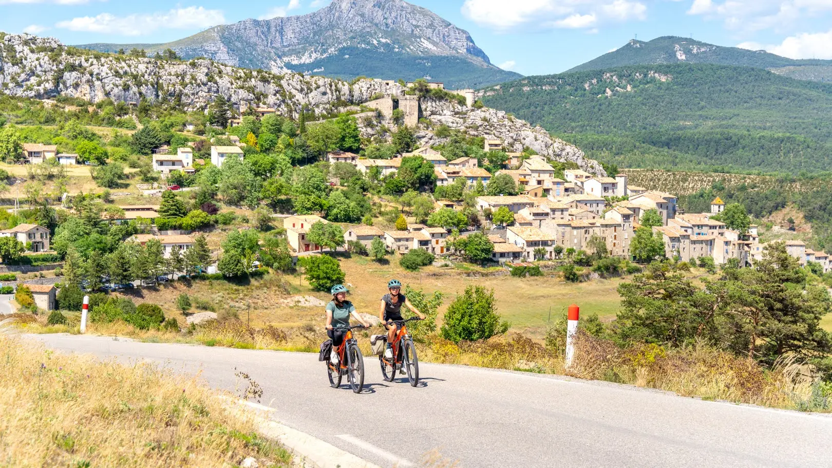
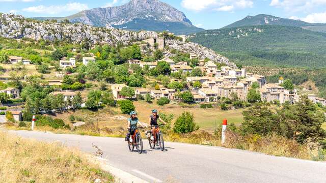
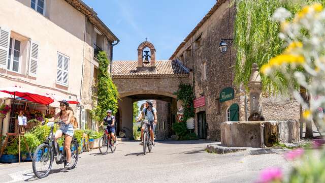
The Tour du Verdon by bike, designed for adventure-seekers, takes you on a journey of discovery through this unique territory, with its breathtaking panoramas and emblematic villages, as well as its lesser-known and more confidential areas.
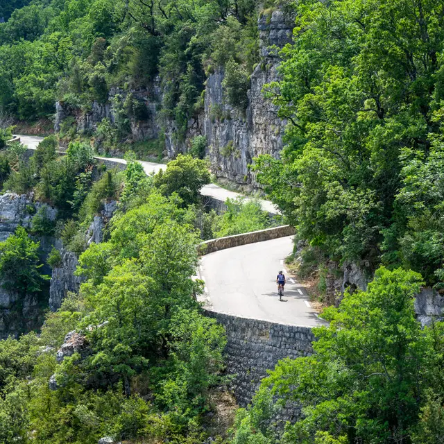
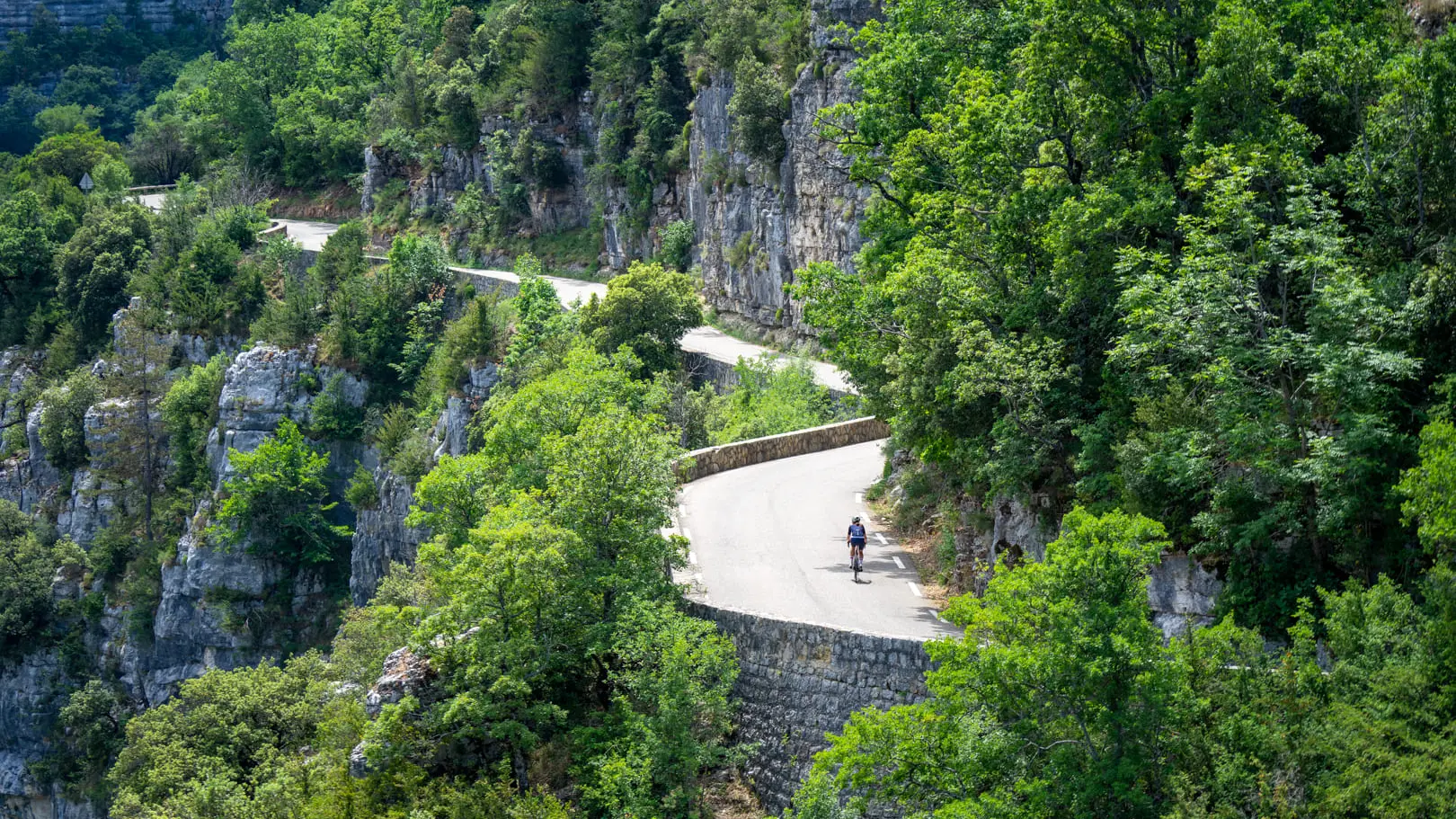
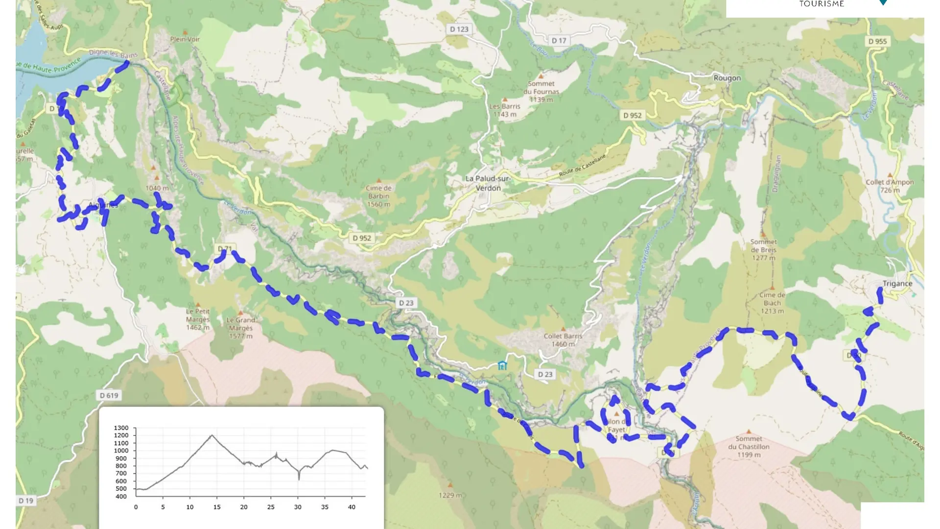
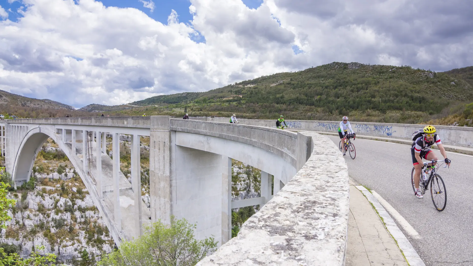
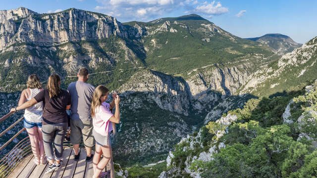
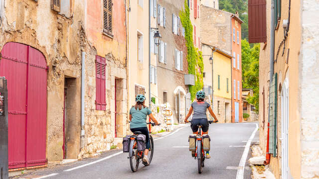
Drive through the southern part of the Verdon Gorges, in the Var region, and take in the breathtaking views over the entire site. Remember to stop off in the villages of Aiguines and Trigance and soak up their Provençal charm. Beware of the elevation changes! You'll need good breath and strong legs. The route can be done in both directions.
If you want to go further, try a 7-day itinerary following the entire Tour du Verdon by bike: https://uk.veloloisirprovence.com/page/tour-du-verdon-a-velo---en+2760.html