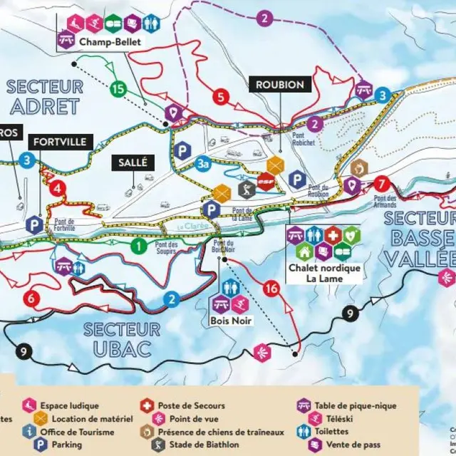
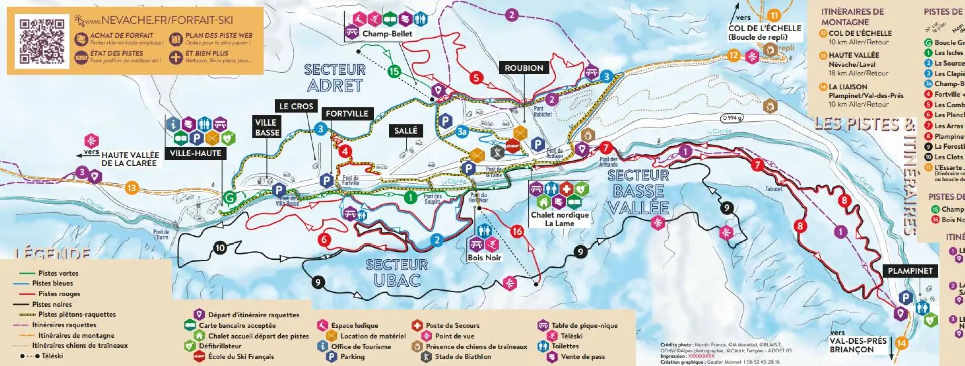
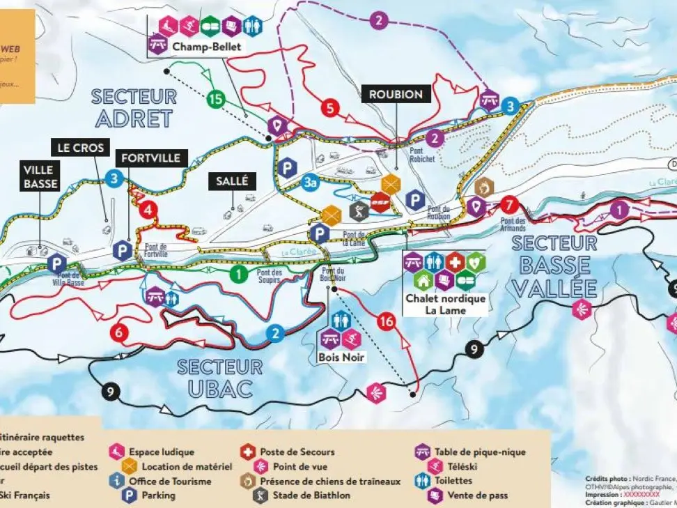
This pedestrian/snowshoe map around the village, ideal for short walks, is available from the ski patrol chalets and the Clarée Tourist Information Office, with the purchase of a Pass Evasion fee.
Please do not walk on the cross-country ski trails.
Please follow the orange "pedestrian" signs and do not walk on the cross-country ski trails.
Part of the trail is shared with cross-country skiers (mainly the Les Clapières blue run): in this case, please walk on the side.
This itinerary follows the same route as the Névache theme trail, punctuated by 22 explanatory markers that reveal the wealth of Névache's rural, natural and architectural heritage.
Each of the markers leads to a particular point in the landscape and tells you a few facets of its history, giving you a global view of the area.
There is no particular order to follow, so enjoy your walk!
Warning: Stay on the dedicated pedestrian/snowshoe trail! Pedestrians and snowshoers are not allowed on cross-country ski trails. If you accidentally find yourself on foot or on snowshoes on the cross-country ski trails: stay to the side, don't step on the classic tracks, and move as soon as possible to a trail suitable for pedestrians/snowshoes.
Read more