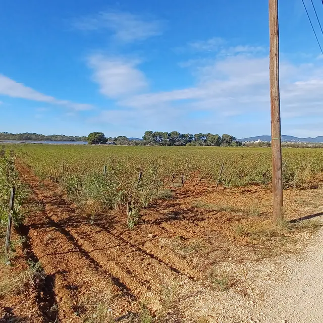
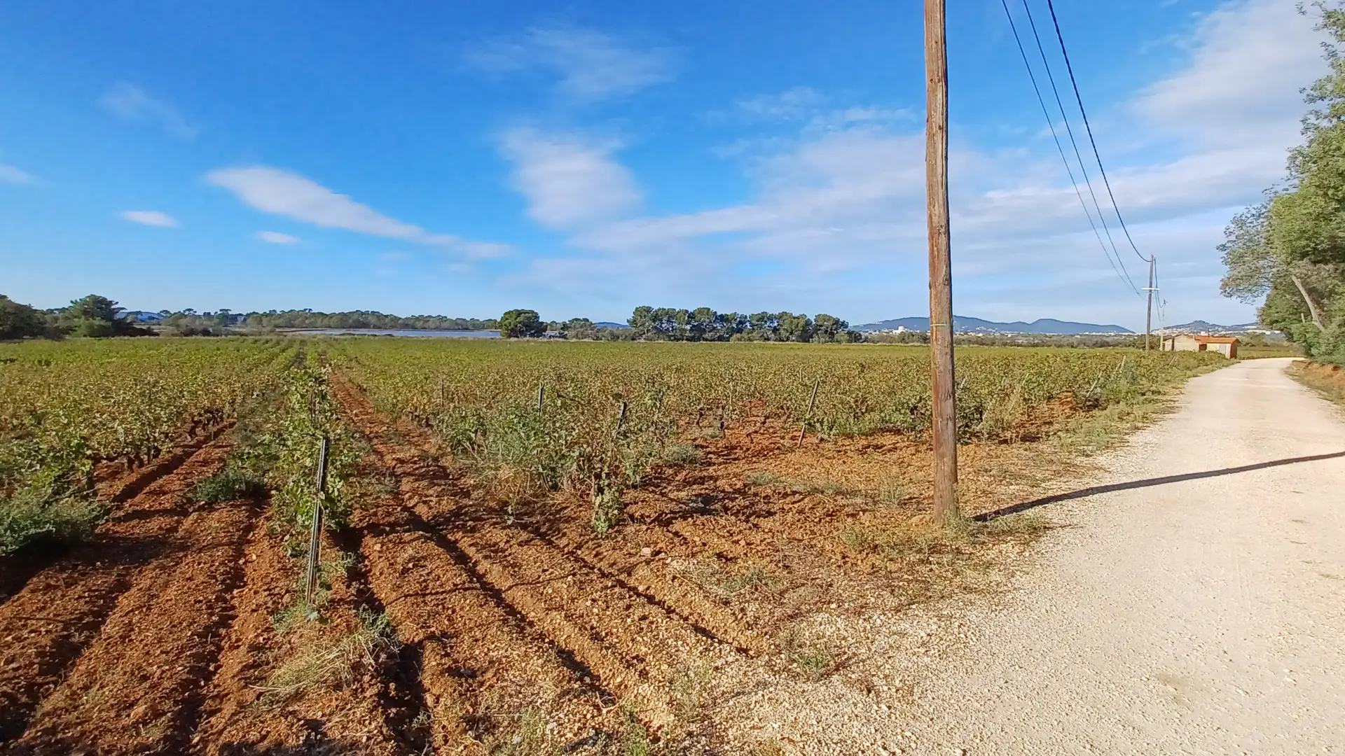
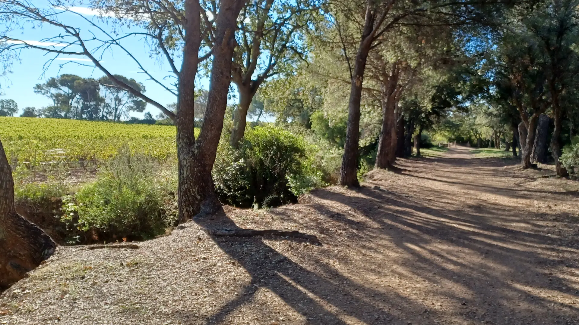
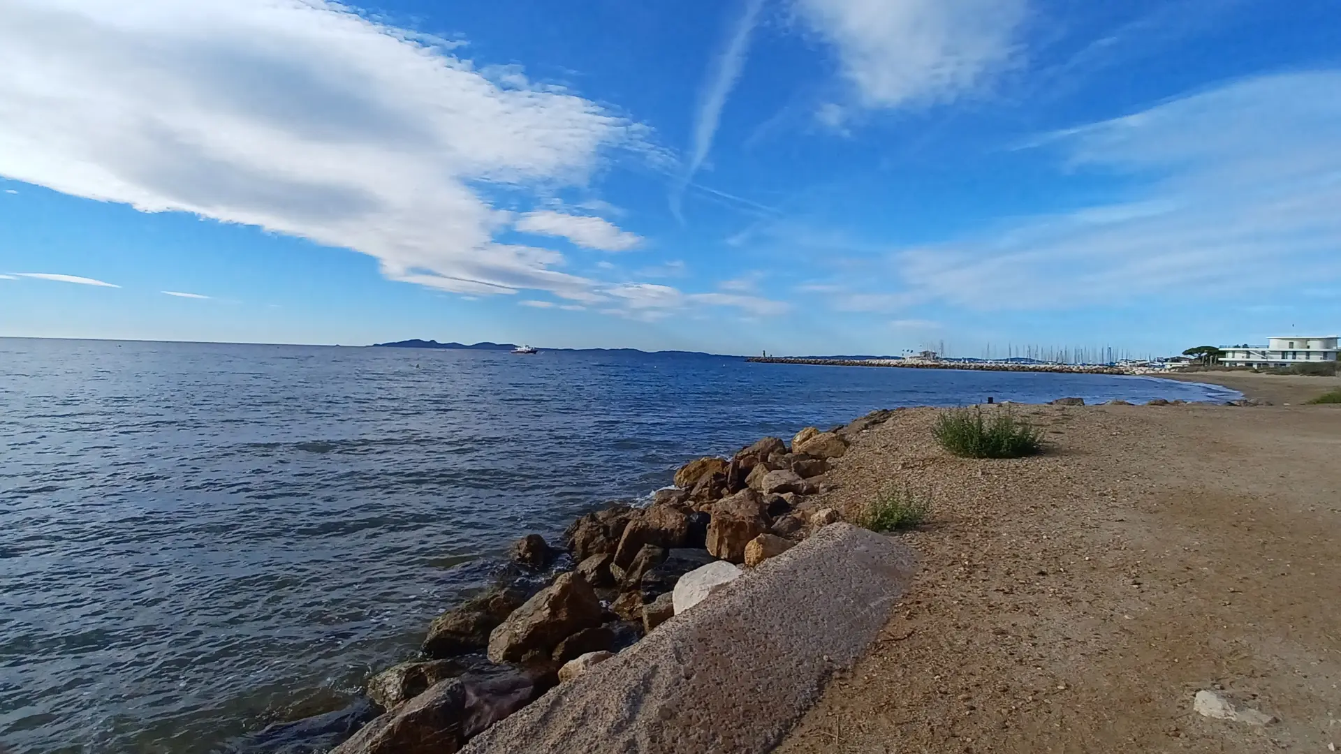
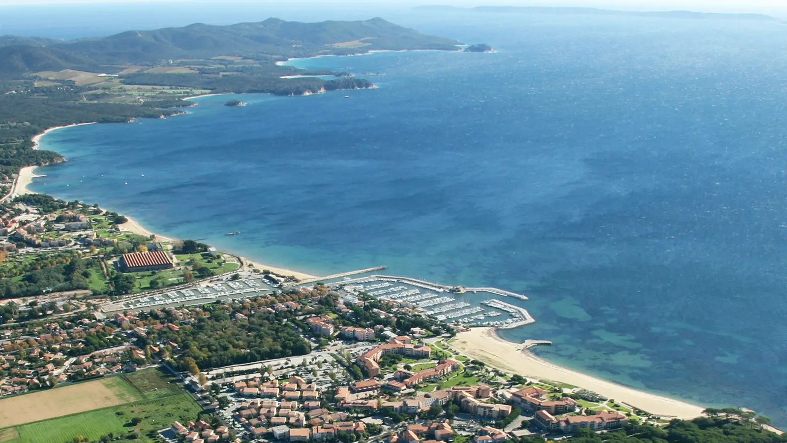
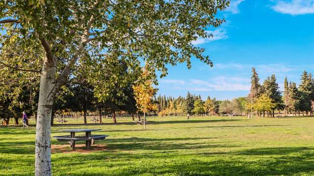
A 10km walk between the village, the vineyards and the seaside. Ideal for a family outing!
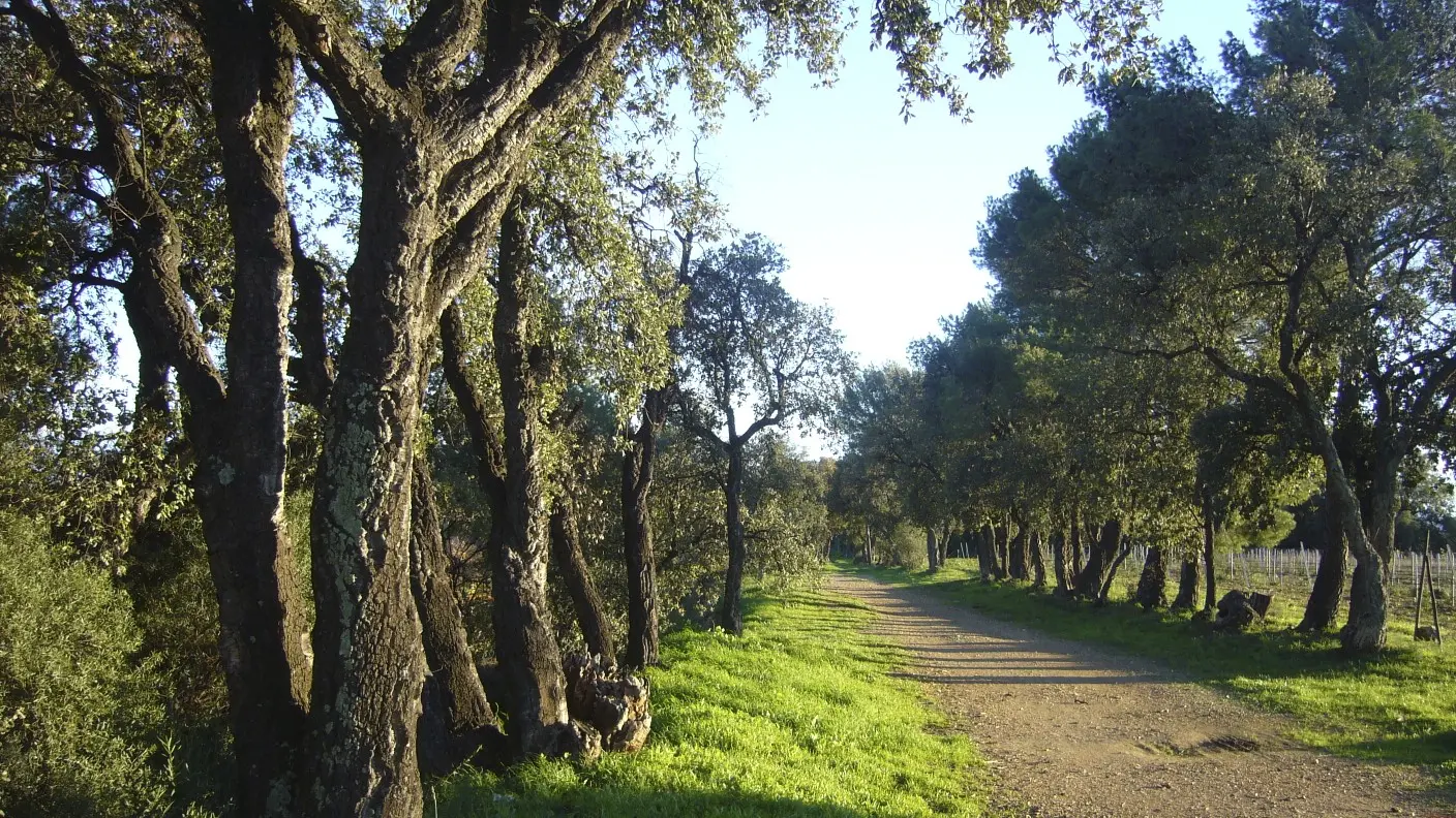
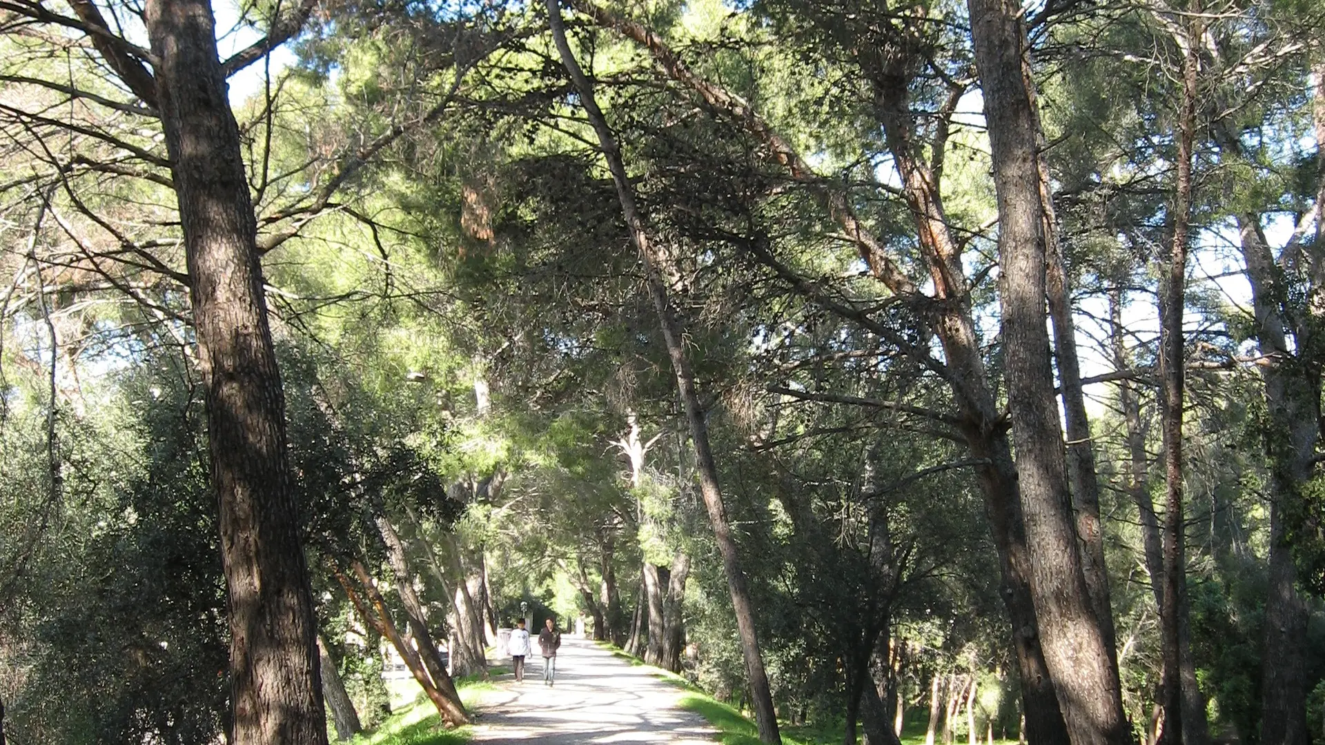
This walk or cycle ride offers a varied itinerary through landscapes combining vineyards, coastline, pine forests and urban areas. By linking the Promenade des Annamites to the Promenade de la Garenne, then taking the cycle route back to the village, you can complete a complete loop, whatever your starting point: the village, the port or the beaches.
It's also possible to do a round trip along each path separately.
This accessible walk is a great way to discover the diversity of La Londe's landscapes!
TIPS AND RECOMMENDATIONS:
- Bring hiking shoes or trainers, water, hat or cap.
- Always keep informed of weather conditions.
- During the hunting season, stay on the marked trails.
- In an emergency, call 112 for help.
- The movement and parking of all motorised vehicles on DFCI roads is prohibited all year round. From June to September, before driving in the Var mountain ranges, check the opening conditions on the fire risk map (updated at 5pm every day for the following day) or by calling the tourist office.