See photos (3)

Tour of Mont Colombis

Sport, Cycling sports, Cycle tourism route in Chorges
84.1 km
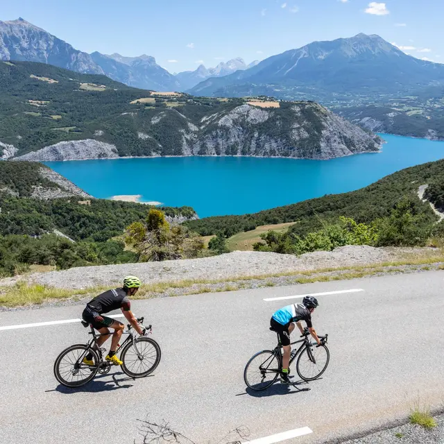
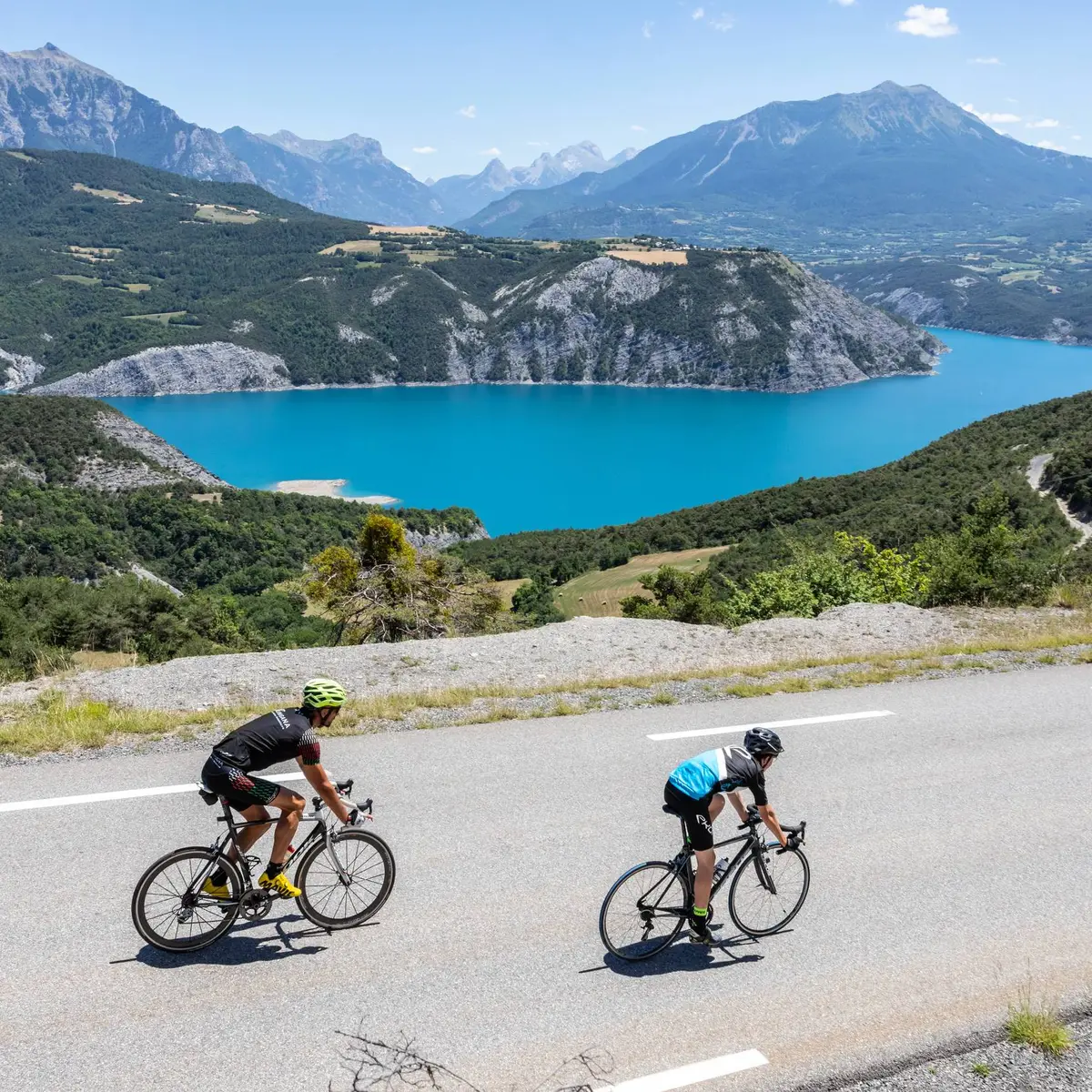
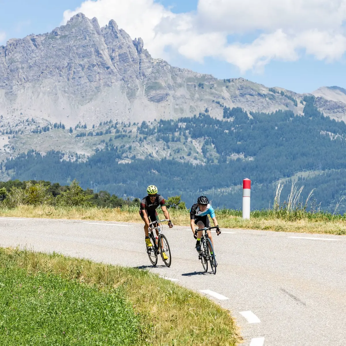
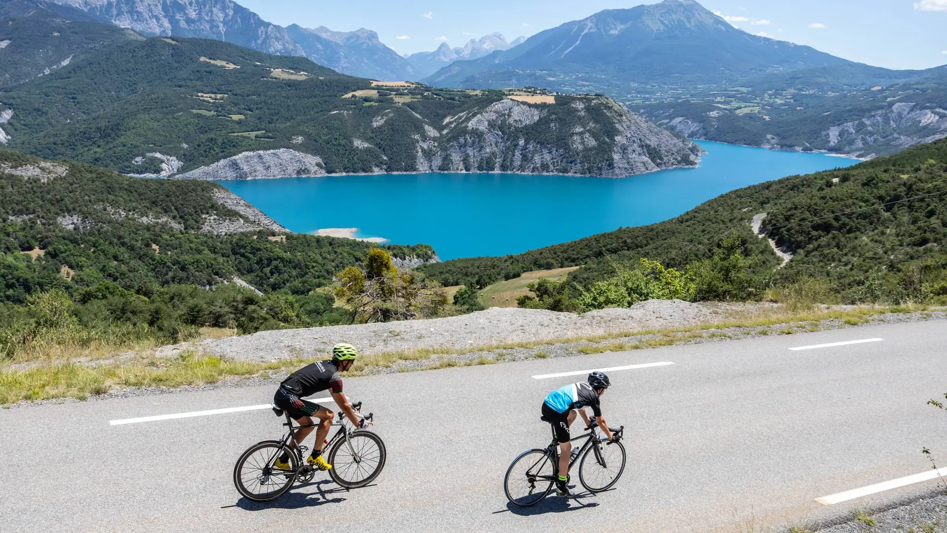
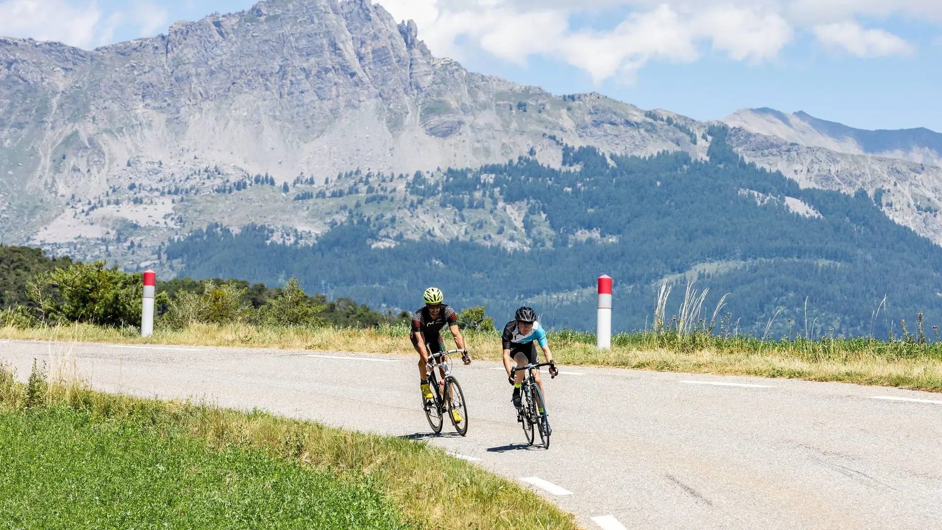
  • A rollercoaster ride! Although never very long, the relatively numerous ascents will put you to the test. From Col Lebraut, enjoy the panoramic views before heading back down to Chorges.

  • Head towards Chorges town centre and, at a fountain and restaurant, turn left for 300 m. At the crossroads, go left and follow this small road faithfully for 5 km to reach the hamlet of Les Carles. Continue straight ahead until you come to a crossroads, then turn left onto the "Route des Borels". Descend to the village of La Bâtie-Neuve and, at a roundabout, turn right towards the Col de Manse (D14).
    Gain altitude as you progress, while enjoying the view. After 5 km, you will reach a fork in...
    Head towards Chorges town centre and, at a fountain and restaurant, turn left for 300 m. At the crossroads, go left and follow this small road faithfully for 5 km to reach the hamlet of Les Carles. Continue straight ahead until you come to a crossroads, then turn left onto the "Route des Borels". Descend to the village of La Bâtie-Neuve and, at a roundabout, turn right towards the Col de Manse (D14).
    Gain altitude as you progress, while enjoying the view. After 5 km, you will reach a fork in the road; turn left towards Gap (D314). Drive for 2 km until you reach a crossroads where two "No Entry" signs face each other. At this point, turn left (bikes are allowed) and descend as far as the N94.
    Head right for 100 m and turn left (with caution) towards "Grand Larra"(D206). The road rises gradually. Cross the hamlet and continue towards La Bâtie-Vieille. When you reach the D6, turn right towards Gap. Go past La Moutouse and, after 1 km, come to an intersection with a wooden cross. Make a turn of almost 180° and head towards Rambaud (D106). Continue the ascent towards Jarjayes and enjoy the panoramic views between the mountains and the agricultural plains.
    Finally, opposite a chapel and its cemetery, go left towards Notre-Dame-du-Laus. Climb up to the Col de Tourrond then enjoy a beautiful descent with several winding bends. Pass through Notre-Dame-du-Laus as far as the Avance valley and the D942. Turn right towards Sisteron for 200 m and, just after a bus stop, turn left onto a small country road that leads to Saint-Etienne-le-Laus. Join the D942 to head towards Valserres. Go through this village and skirt a mountain on the D942a. Then turn left onto the D900b towards Gap. Drive for 2 km before turning left towards Piégut.
    Cross Durance and, at the next crossroads, turn left towards Piégut. Stay on this pleasant road (D704) before leaving it and taking the one heading towards Rochebrune. Cross the plain while travelling alongside the Durance (and a leisure centre). Go past Rochebrune and, at the crossroads, turn left and cross over the Durance once more.
    At the STOP sign, take the D900b towards Espinasses and, on leaving the village, go left towards Lac de Serre-Ponçon (D3). On the ascent to the Col Lebraut, you can see just how much work went into building the dam. There is also a beautiful view of the turquoise waters of the lake and the surrounding mountains. Once over the pass, prepare for a beautiful 8 km descent back to Chorges. Then pass under the N94 and, 200 m further on, turn left to return to the station car park.

    Hard
  • Departure
    Chorges
  • Difference in height
    2229.33 m
  • Departure : Station car park, Chorges.
    Arrival : Station car park, Chorges.
    Road access : Follow the N94 from Gap or Embrun to Chorges, then the station..
    Parking recommended : Station car park, Chorges .
    Public transport : From Gap:


    Zou! Network : Line 69 / Frequency : Every 4 hours

    Route 530 / Frequency 2 times daily

    From Embrun:


    Zou! network : Line 69 / Frequency : Every 4 hours

    More information: https://zou.maregionsud.fr

    SNCF : TER
    More info: https://www.sncf-connect.com .
  • Documentation
    GPX / KML files allow you to export the trail of your hike to your GPS (or other navigation tool)
2229 meters of difference in height
  • Maximum altitude : 1121 m
  • Minimum altitude : 619 m
  • Total positive elevation : 2229 m
  • Total negative elevation : -2259 m
  • Max positive elevation : 213 m
  • Min positive elevation : -294 m