This loop will take you from the hamlet of La Vachette to discover Briançon's forts: Fort Dauphin, Fort des Trois Têtes, a UNESCO World Heritage site, and Fort des Salettes.
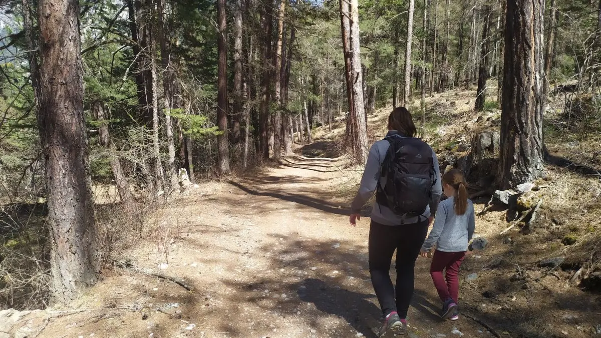
From the parking lot alongside the N94 opposite the hamlet of La Vachette, enter the forest directly from a small path at the start of the parking lot alongside the old buvette.
This path then runs alongside the ravin du Vallon stream for around 250 metres, leading to a wide forest track.
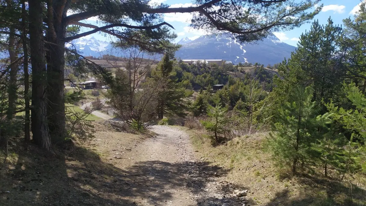
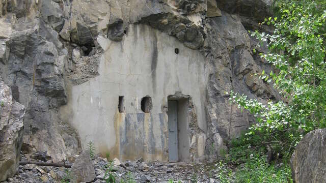
At this junction, take the wide forest track to the right: signposted by the GR5 towards Le Fontenil and yellow signs pointing to the Fort des Têtes, this wide track winds quietly through the heart of the Bois de l'Infernet for 3 kilometers, passing the unfinished command post of the Batterie de la Lame and taking you straight to the foothills of Briançon.
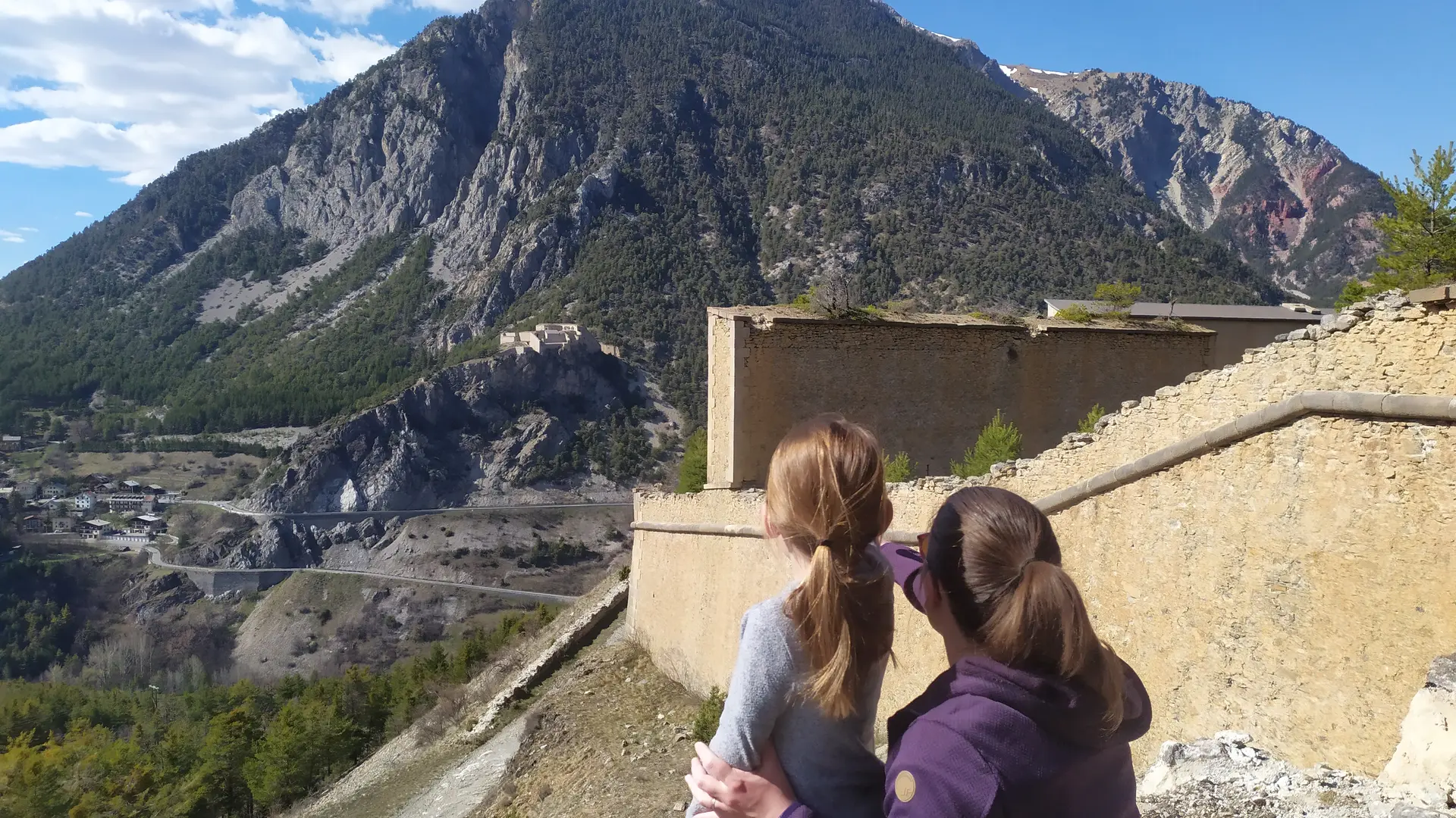
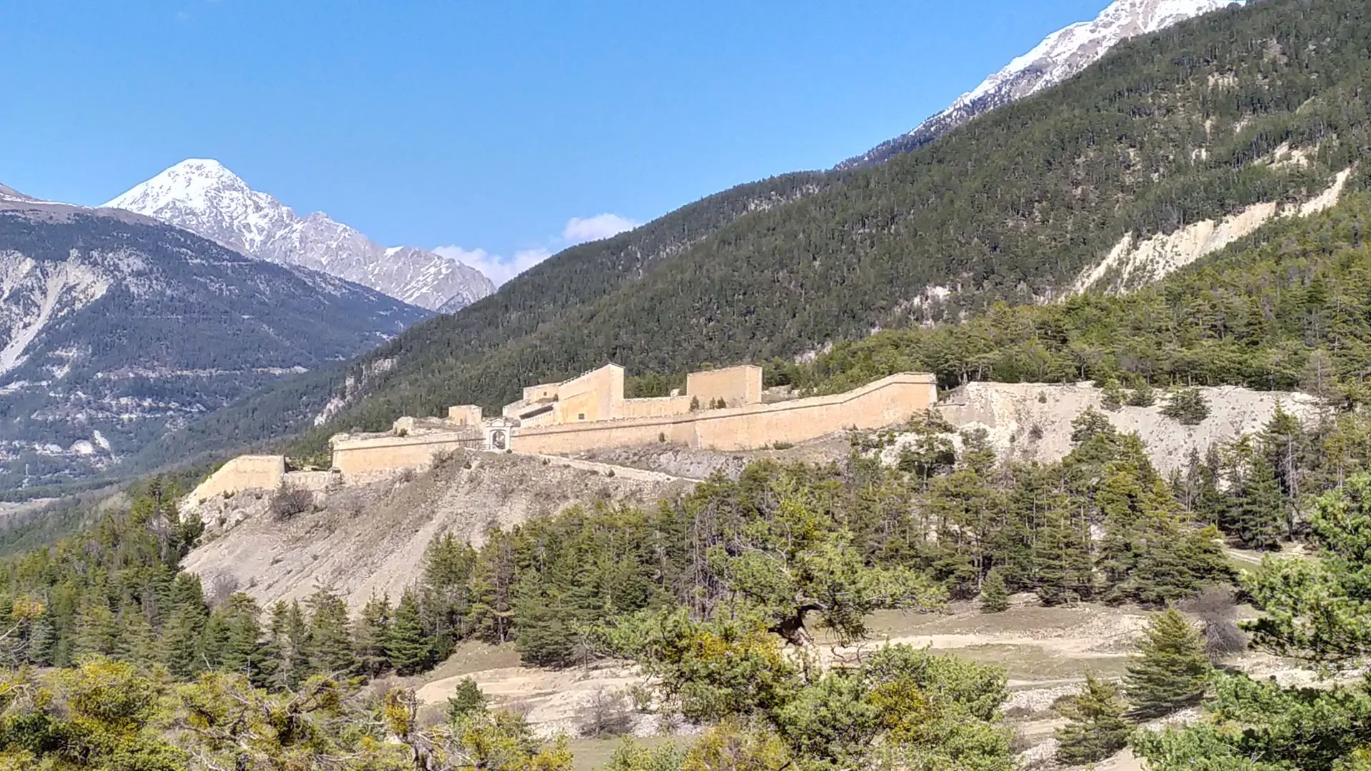
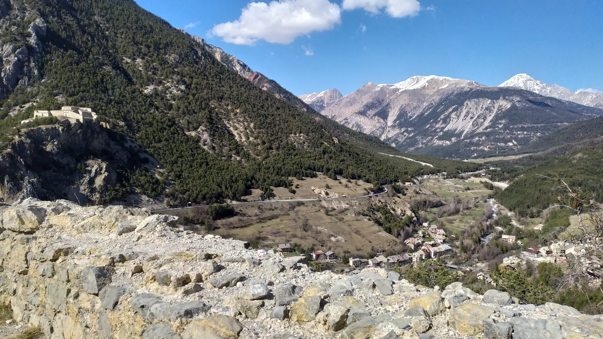
The trail leads first to Fort Dauphin and then on to the firing range and the imposing old Fort des Trois Têtes overlooking Briançon.
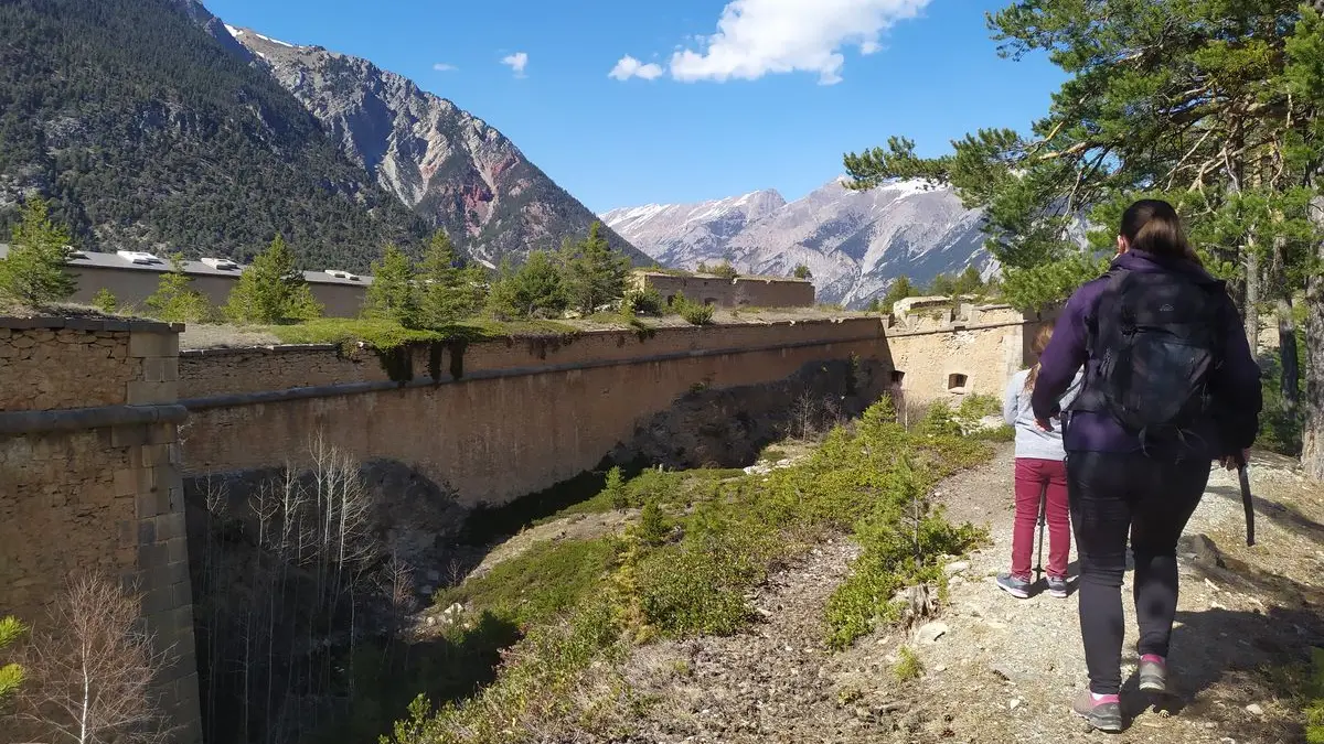
Once you've reached the Fort des Trois Têtes, take the track on your right, which skirts the fort (which remains on your left), opening up a vast view of Briançon: continue downhill towards the gorges to cross the Pont d'Asfeld and reach the Cité Vauban.
Stroll through the Cité Vauban up the central pedestrian street until you reach the Porte de Pignerol, then the Champ de Mars parking lot.
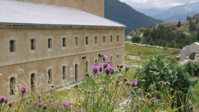
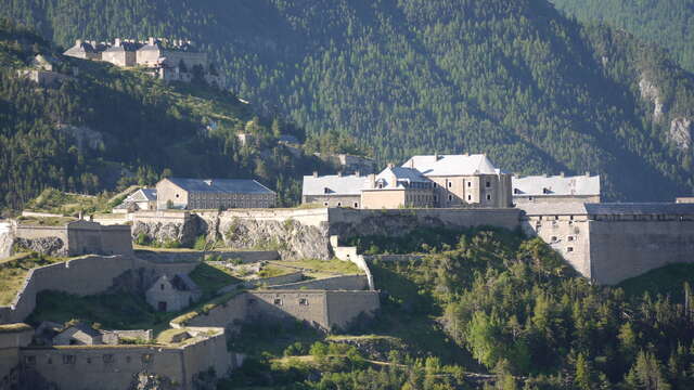
Once at the Champ de Mars parking lot, cross over to the asphalt road "Chemin des Salettes": this rises steeply and soon leads to a gravel track: take the right-hand track to the Fort des Salettes.
Just before the entrance to the fort, climb to the left along a steep, stony path for 150 m, then fork right onto a beautiful balcony path that leads to La Vachette.