Tips
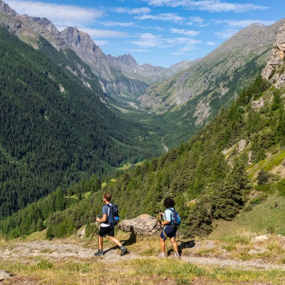
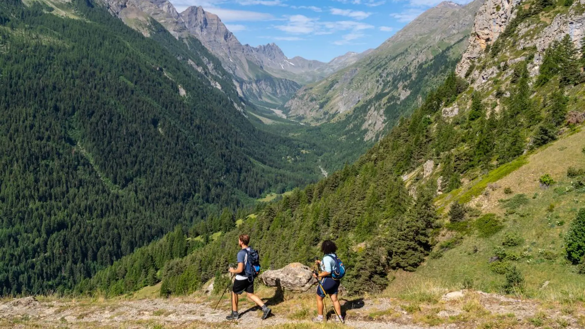
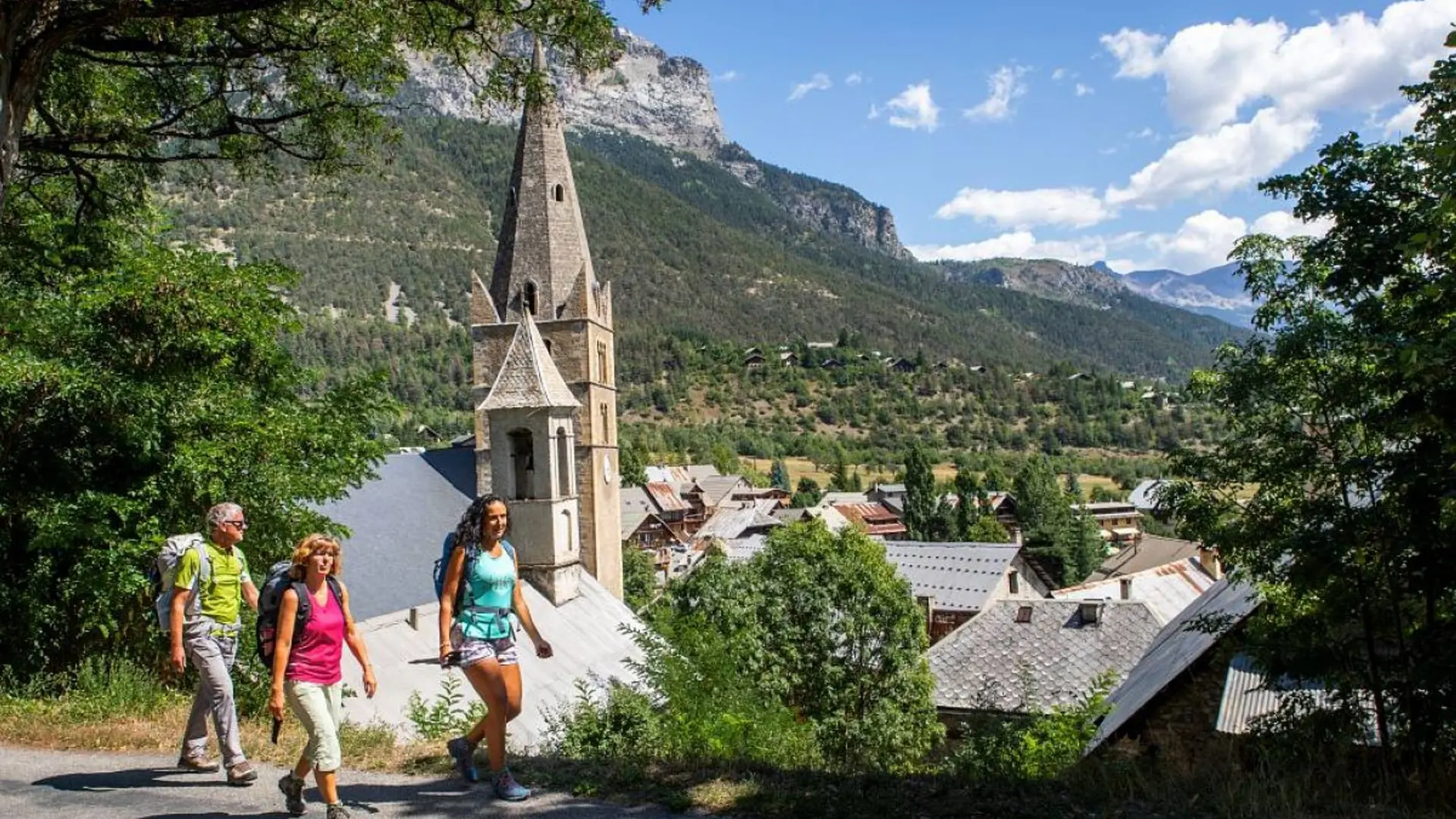
Difficulty level: easy to medium, essentially due to the length of some stages.
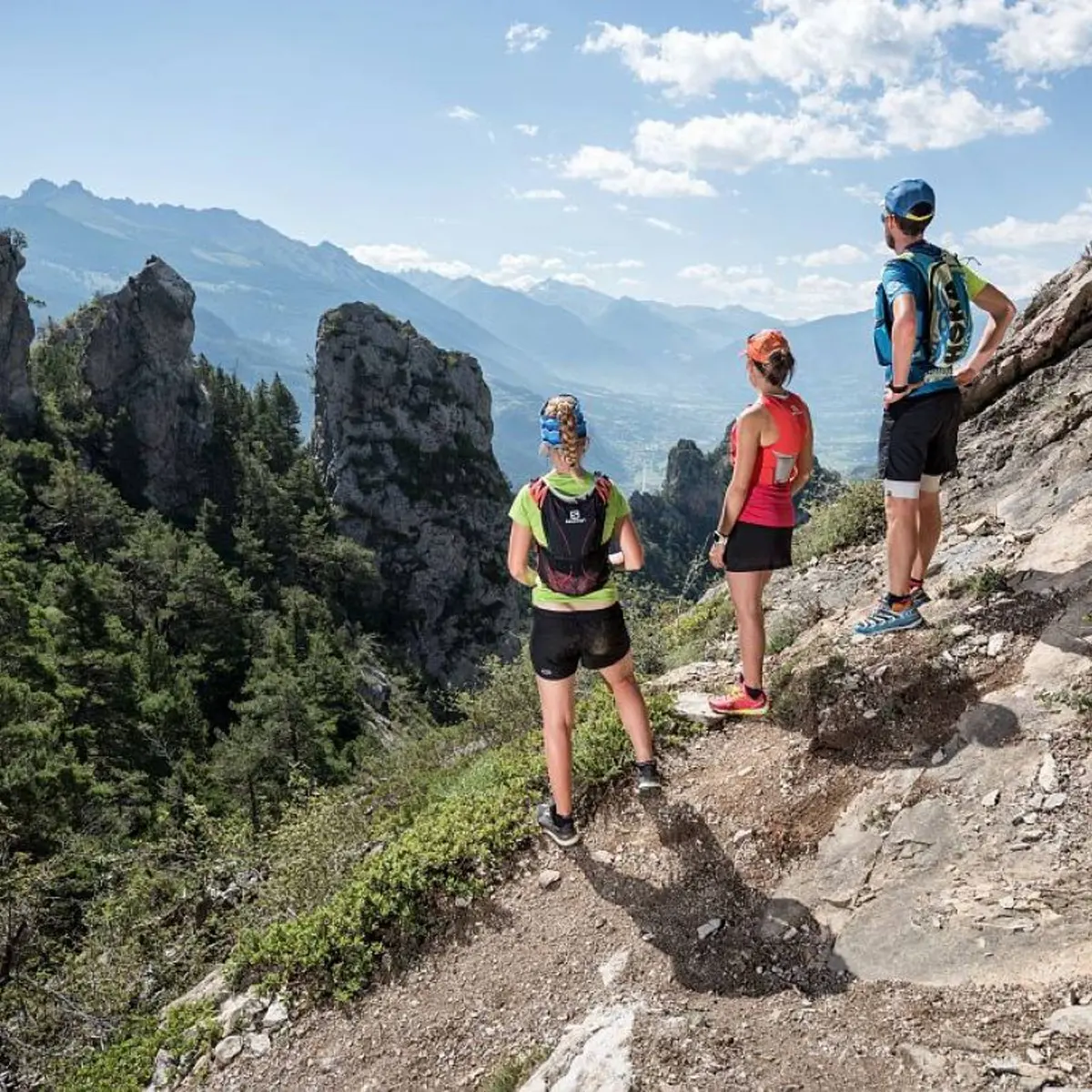
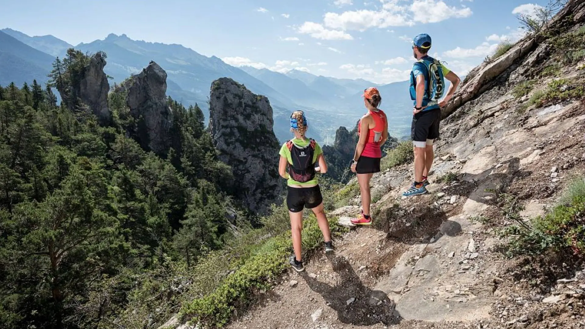
Difficult sections on stage 6. It is possible to avoid these.
Enquire at the tourist offices about snow conditions on the Ailefroide stage and the mountain pass crossings before setting out.
There are some ford crossings which could present problems in heavy rain storms.
Herd protection dogs : In mountain pastures, protection dogs are there to protect the herds from predators (wolves, etc.).When I hike I adapt my behavior by going around the herd and pausing for the dog to identify me.Find out more about the actions to adopt with the article "Protection dogs: a context and actions to adopt".Tell us about your meeting by answering this survey.