See photos (5)

Tour of the Plan des Aires on mountain bike

Sport, Cycling sports, Mountain biking itinerary in Forcalquier
10.5 km
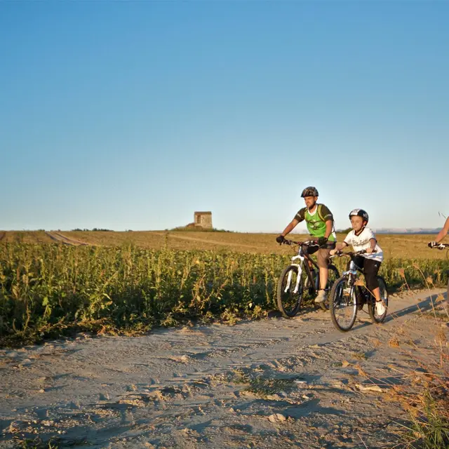
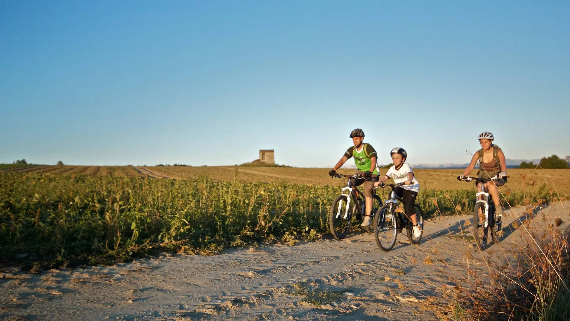
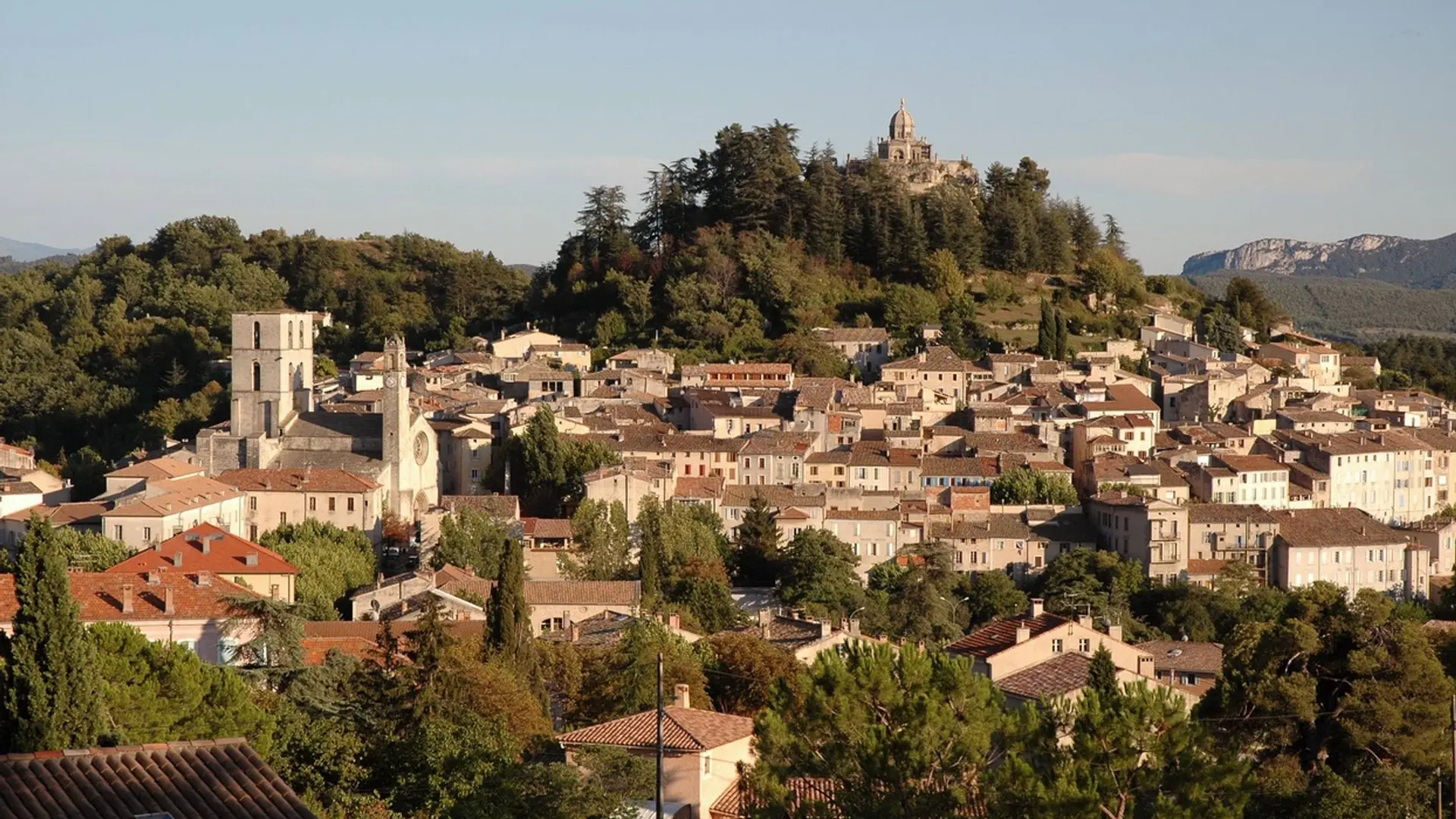
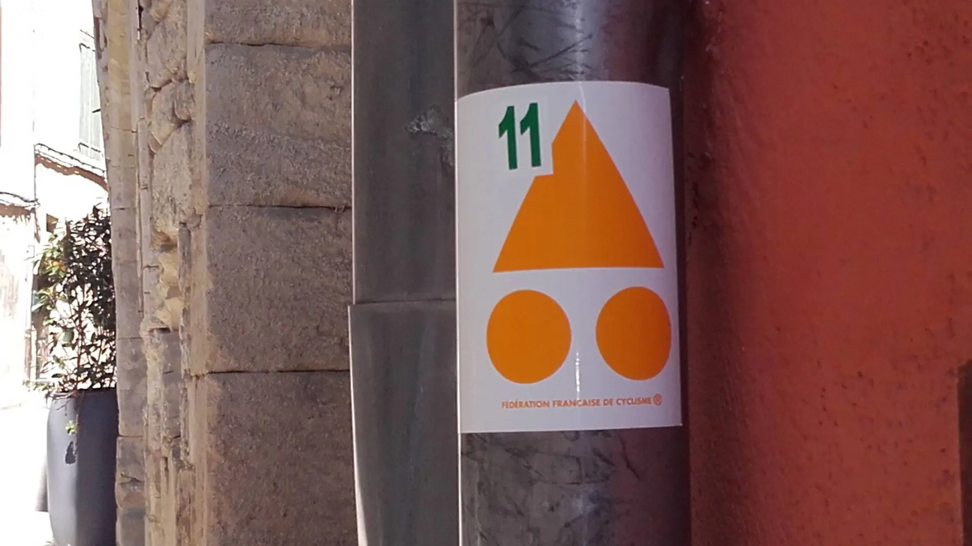
  • Tour No.11 of the site VTT FFC Pays de Forcalquier - Montagne de Lure. A short but nice getaway, not strenuous but varied.
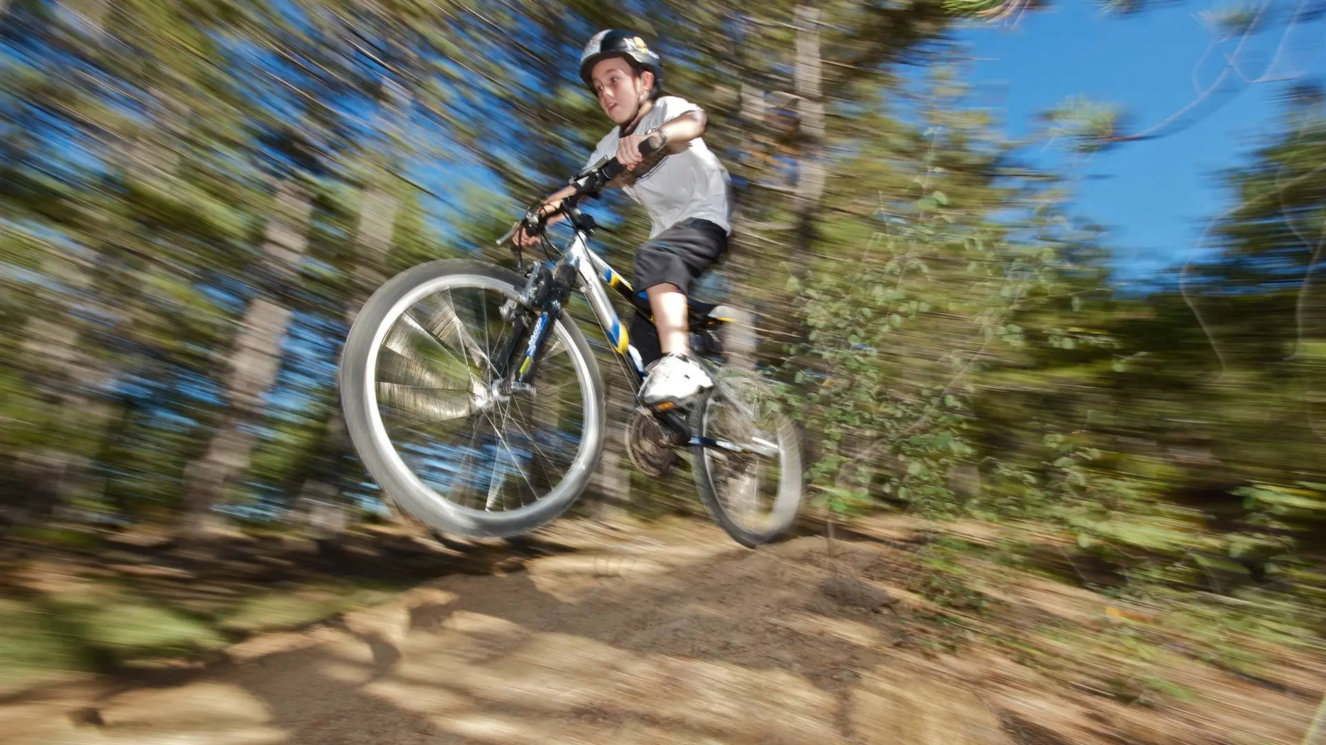
  • Back towards the tourist office, go right, pass in front of the Notre-Dame du Bourget gate and weave into the Rue Mercière.
    1 - Turn left and then right unto Rue Passère. Continue left unto Rue Violette and Avenue Jean Giono. Ascend unto the road and reach the plateau. At the stop sign, continue to go left, on the 3rd departure route, keep left (direction Charembeau) and reach the summit of Plan des Aires.
    2 - Just after two cypresses that mark the entrance to a path, turn left between two...
    Back towards the tourist office, go right, pass in front of the Notre-Dame du Bourget gate and weave into the Rue Mercière.
    1 - Turn left and then right unto Rue Passère. Continue left unto Rue Violette and Avenue Jean Giono. Ascend unto the road and reach the plateau. At the stop sign, continue to go left, on the 3rd departure route, keep left (direction Charembeau) and reach the summit of Plan des Aires.
    2 - Just after two cypresses that mark the entrance to a path, turn left between two sycamores and go down the road in the big field. Down below, go straight unto a wooded path. Leave a ramp to the right and continue the single track in dirt (two beautiful banked corners on the left trace).
    3 - Reach the road in front of the hotel Charembeau, go right. Turn right at the 1st intersection and take the next left track. Take a right unto the D216.
    4 - Up to a pumping station, turn left and go down the Cléoux track. At the 1st left turn, go across on the edge of the field. Continue a little further down the path to the right of the field. Cross a large cultivated area and then go up a path that passes between two beautiful dry stone walls. Go straight on the path of the Grand Oratory said of Chasseou.
    5 - Come out on the D216 and take a right on Rue Paradis. Continue straight on Rue Saint-Pierre, Rue Marius Debout, Rue Grande and Rue Planchud. Then, in the Rue des Cordeliers, turn left on Rue Mercière to return to the starting point, Place du Bourget.

    Easy
  • Departure
    Forcalquier
  • Difference in height
    197.099 m
  • Departure : Tourist Office, Forcalquier.
    Arrival : Tourist Office, Forcalquier.
    Road access : At 23km north of Manosque, through the D13.
    Parking recommended : Parking lot of the Couvent des Cordeliers, at the entrance of Forcalquier .
    Public transport : Limitons les déplacements en voiture, pensons aux transports en commun et au covoiturage. Tous les transports en commun sur www.pacamobilite.fr .
  • Documentation
    GPX / KML files allow you to export the trail of your hike to your GPS (or other navigation tool)
197 meters of difference in height
  • Maximum altitude : 591 m
  • Minimum altitude : 482 m
  • Total positive elevation : 197 m
  • Total negative elevation : -199 m
  • Max positive elevation : 48 m
  • Min positive elevation : -86 m