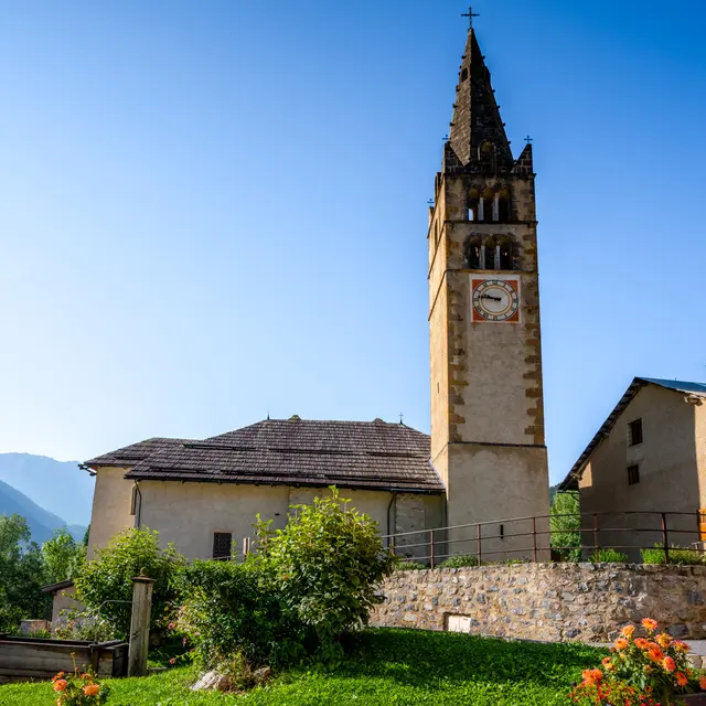
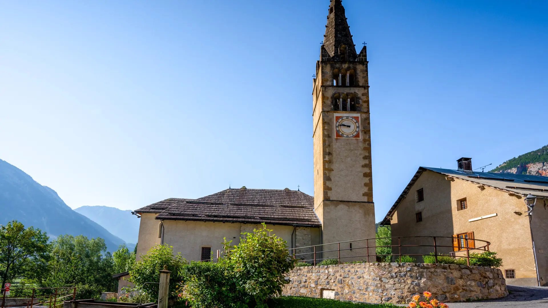
From the Rosier parking lot opposite the Huttopia campsite, cross the bridge to the left bank of the river, then take the wide track to the left of the bridge. This runs along the Clarée for around 700 meters to reach Val-des-Prés and the beautiful church of Saint-Claude, which can be seen in the distance.
The trail soon comes to a bridge and the Val-des-Prés bread oven.
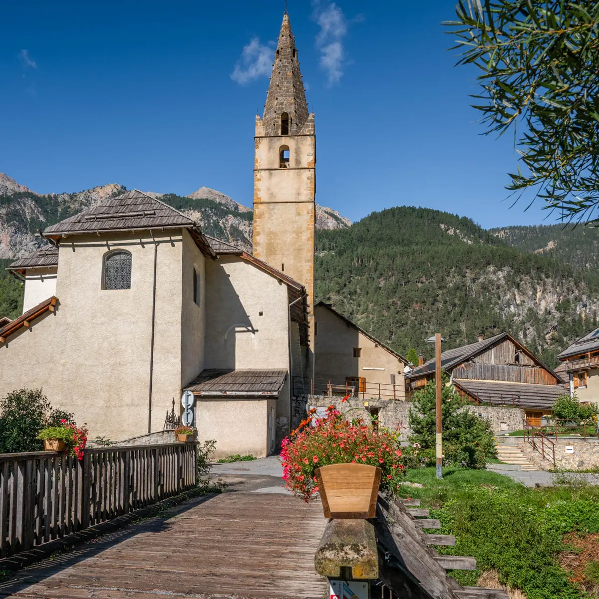
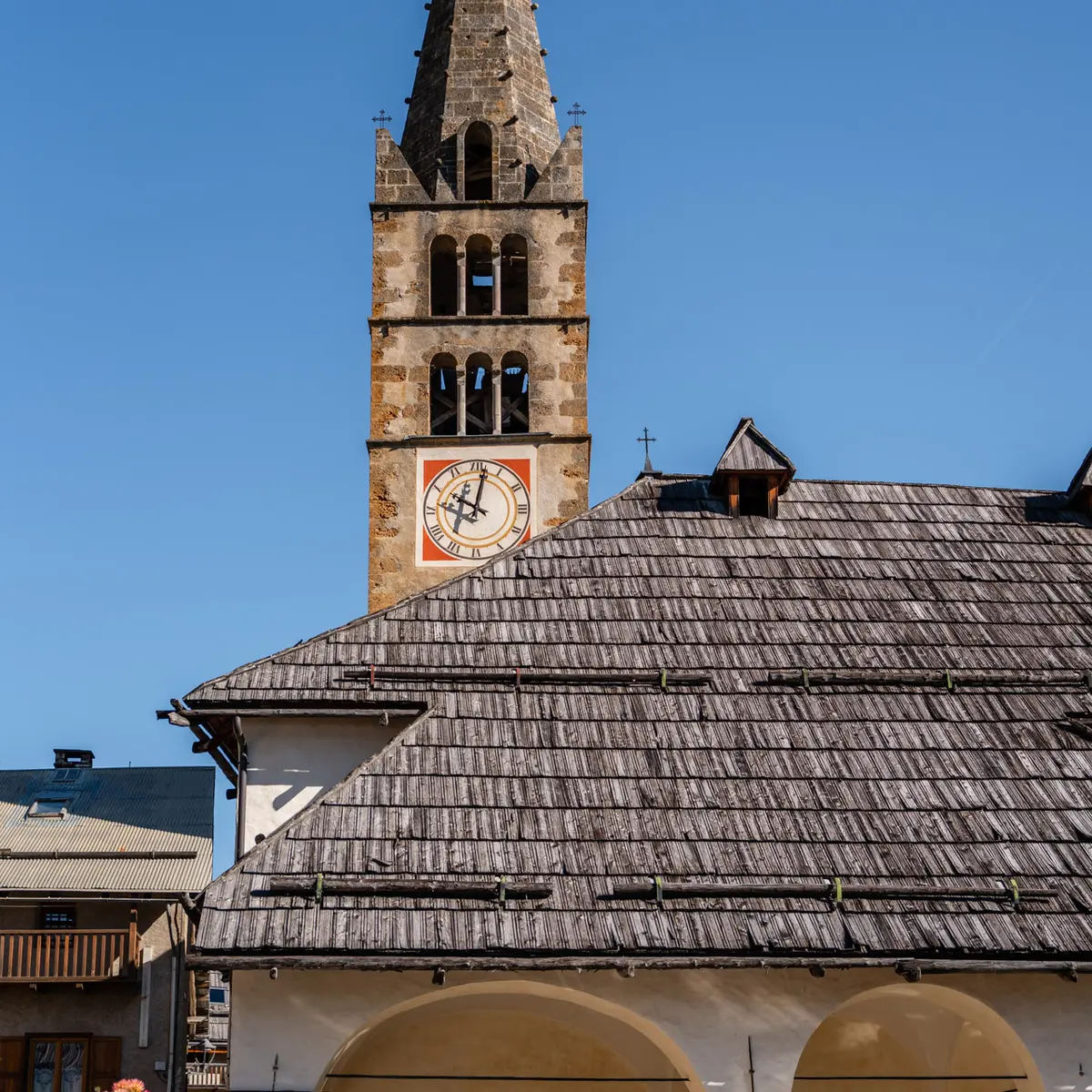
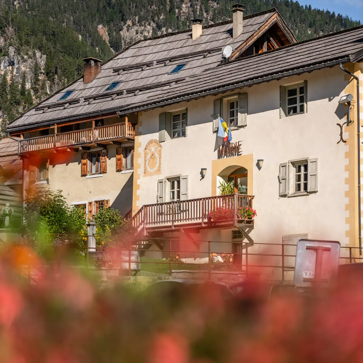
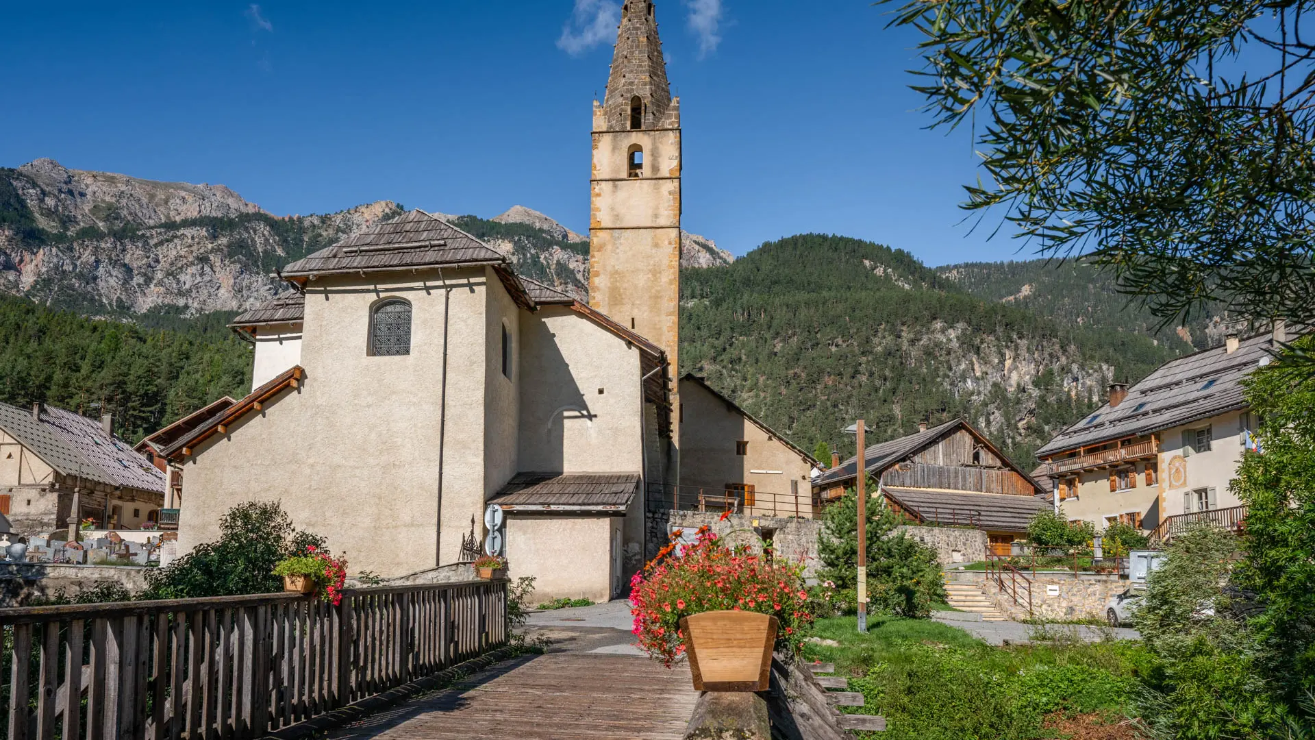
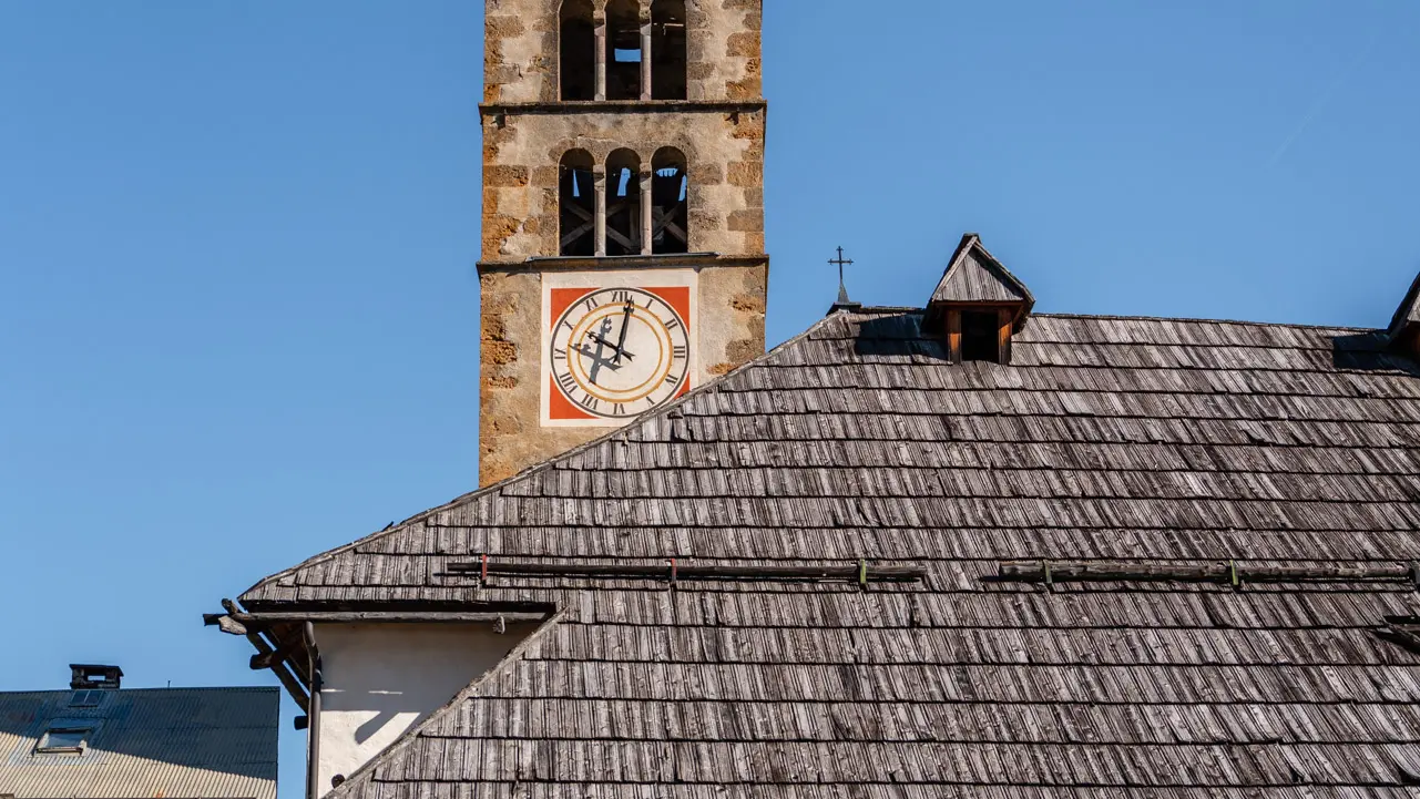
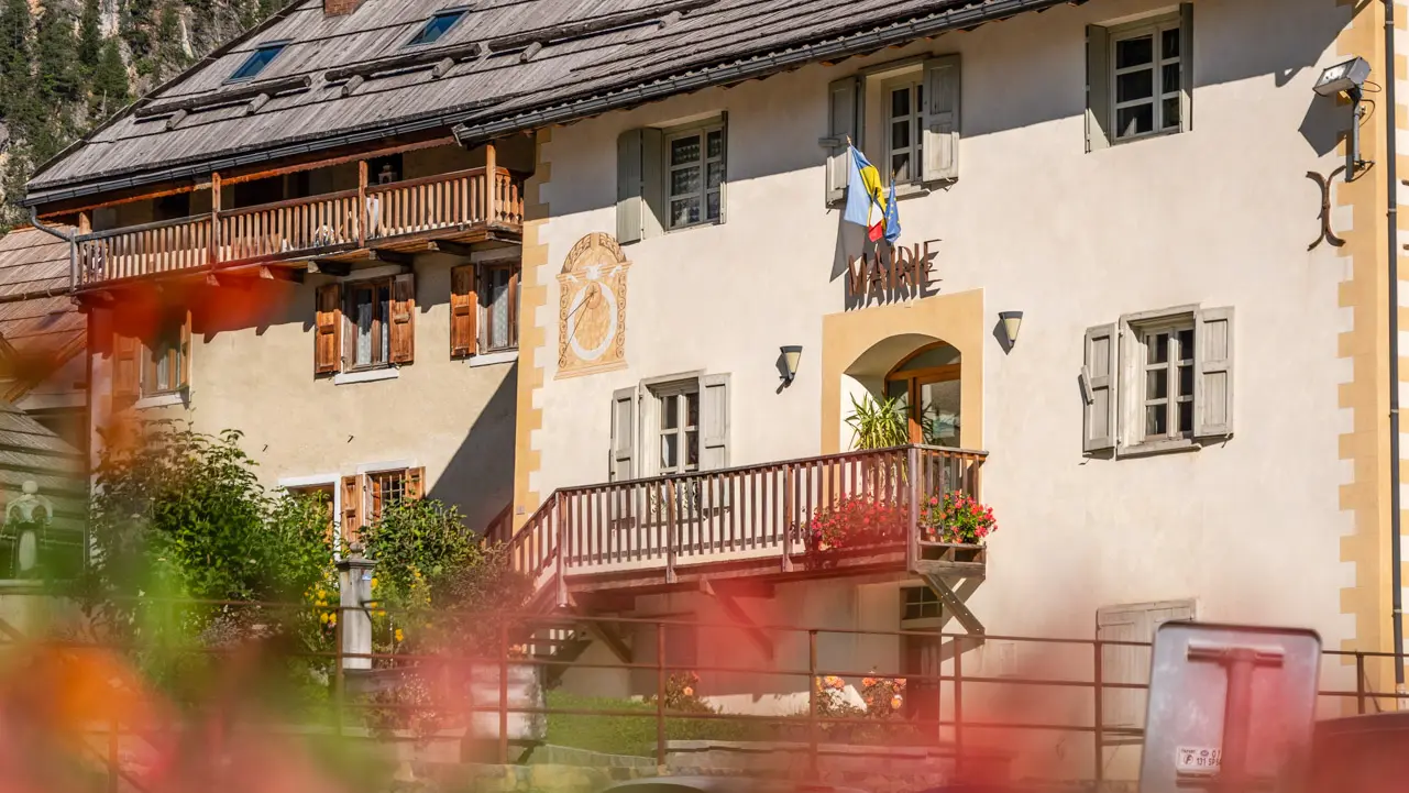
Cross the bridge to reach the town hall and village church.
At the fountain opposite the town hall, continue straight ahead between the houses to reach the heights of the village. The asphalt lane then becomes a forest track which rises straight up to reach the forest, then bends to the left to climb steadily higher.
Stay on the main route and ignore the small paths on either side of the track. The route soon crosses the imposing bed of the Torrent de la Ruine, marked by concrete and granite check dams designed to stabilize the floodwaters.
Once over the torrent, the little path opens out onto a wide forest track which descends gently: take this track very briefly, then pick up the little path on the right, located in the first hairpin bend of this wide track. This path gradually descends for 400 metres before joining a new forest track: continue along this track until you reach the hamlet of La Vachette.
Enter the hamlet of La Vachette, heading for the Church of Notre-Dame de l'Annonciation: just before it, at the narrow crossroads, fork left to reach the bridge and the riverside houses.
Join the hamlet of Les Alberts: at the small crossroads at the fountain (after the bridge), take the small lane on the left towards the "chemin des noisette": a small carriage road that runs alongside the river and joins the hamlet of Les Alberts.
This asphalt road "Chemin des noisettes" joins the hamlet of Les Albert after one kilometer, before crossing the Durance stream. After passing the fountain and sundial of the Kovacic house, the road leads to a small parking lot: turn right into the ruelle des Arbennes (indicated by a dead end).
A few metres after entering the cul-de-sac, fork left to reach a small dead-end parking lot, and join the dirt track overhanging the parking lot: a short, steady climb is in order. Continue along this little path until you reach the bridge over the hamlet of Rosier and the Huttopia campsite parking lot.
Read more