See photos (3)

Trail n°11 - Sommet du Château

Sport, Pedestrian sports, Trail route in Selonnet
9.6 km
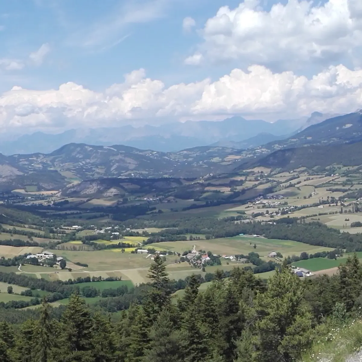
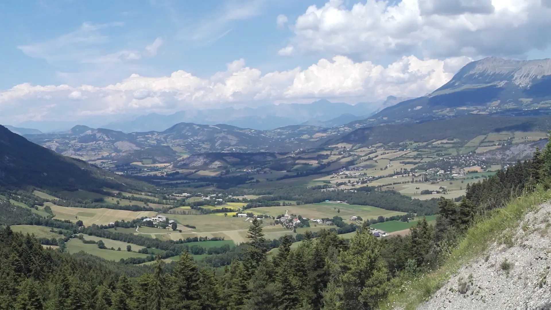
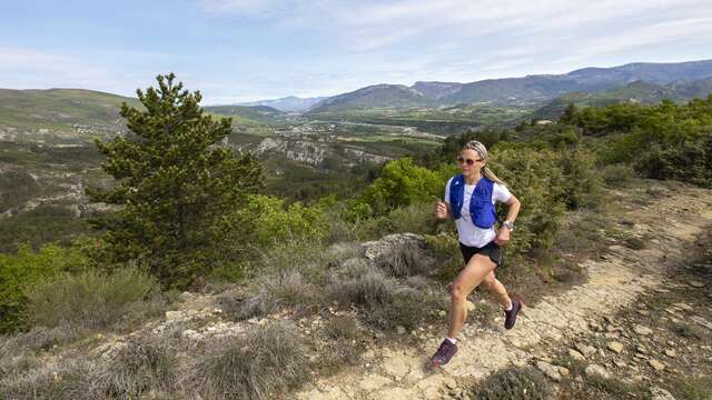
  • A beautiful route that takes you to the top of the castle where an exceptional view of the Vallée de la Blanche awaits you!

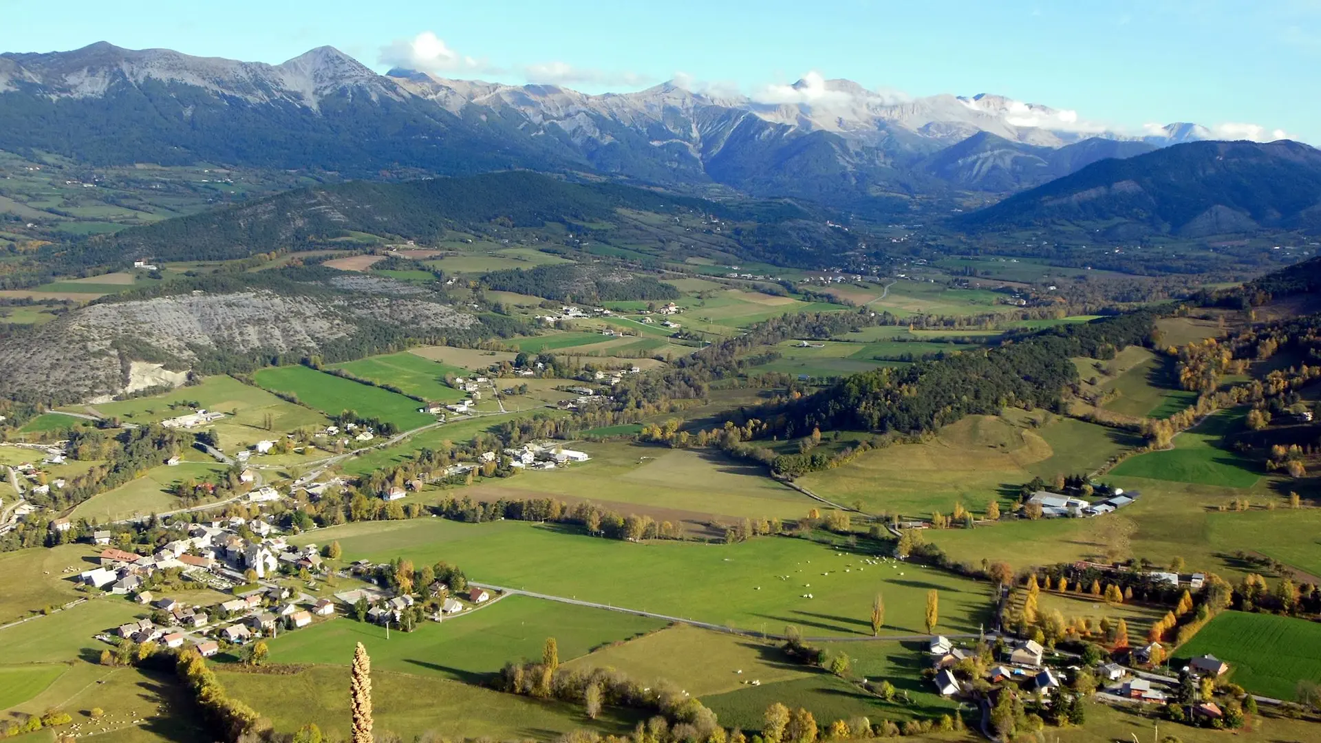
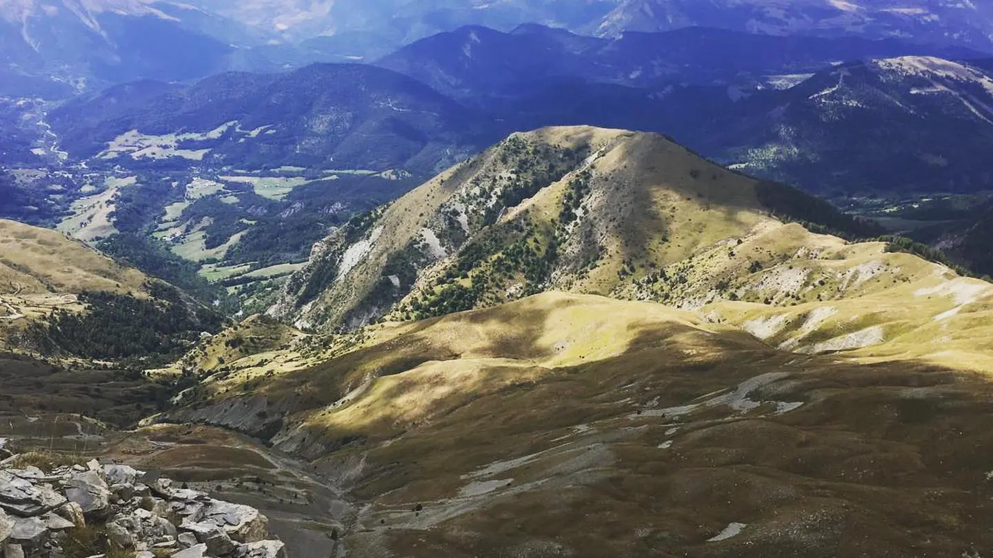
  • A short but difficult course with a technical ascent and descent. A great challenge awaits you on this shady route. The climb is well worth it, as you'll have an exceptional view at the top of this mountain. For the less experienced, you can continue along the road after the collet to return directly to Selonnet.
  • Departure
    Selonnet
  • Difference in height
    418.333 m
  • Environment
    • Forest location
    • Mountain view
    • Mountain location
    • River 5 km away
    • Panoramic view
    • Presence of livestock and guard dogs
  • Spoken languages
    • French
  • Documentation
    GPX / KML files allow you to export the trail of your hike to your GPS (or other navigation tool)
  • Accepted customers
    • Level bue - Medium
418 meters of difference in height
  • Maximum altitude : 1370 m
  • Minimum altitude : 1050 m
  • Total positive elevation : 418 m
  • Total negative elevation : -418 m
  • Max positive elevation : 270 m
  • Min positive elevation : -49 m
Services
  • Equipment
    • Play area
    • Picnic area
    • Bar
    • Public WC
    • Car park
    • Defibrillator
    • Restaurant
    • Coach parking
    • Charging stations for electric vehicles
    • Free car park