Tour de la colline du château

Trail n°3 - Tour de la colline du château

Sport, Pedestrian sports, Trail route in Selonnet
6.6 km
1h 15min
Easy
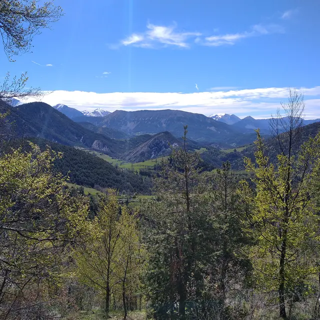
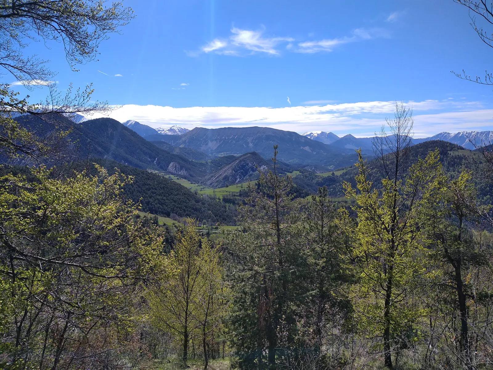
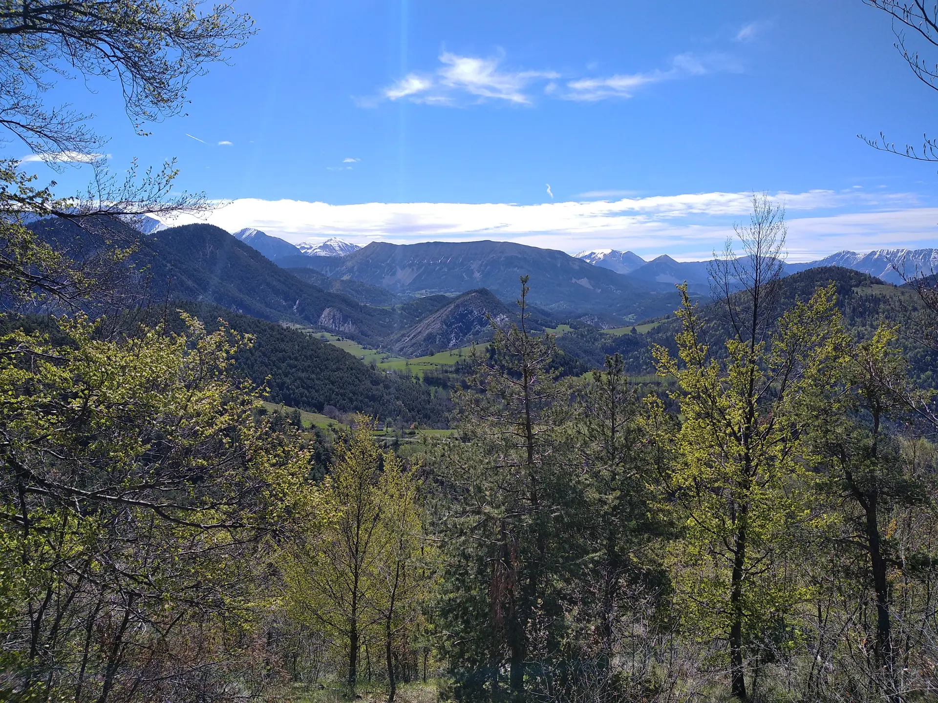
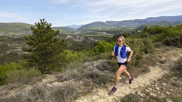
  • A short loop that's perfect for beginners! Come and discover trail running on this route.

  • This short loop is aimed at beginners wishing to discover the activity. There is a very gradual climb on this route, just what you need to start mountain running. Between the forest and the open path, you can enjoy the fresh air and the view.
  • Departure
    Selonnet
  • Difference in height
    237 m
  • Environment
    • Close to a trunk road
    • Forest location
    • Mountain view
    • River 5 km away
    • Panoramic view
    • Presence of livestock and guard dogs
  • Spoken languages
    • French
  • Documentation
    GPX / KML files allow you to export the trail of your hike to your GPS (or other navigation tool)
  • Accepted customers
    • Level green – easy
237 meters of difference in height
  • Maximum altitude : 1272 m
  • Minimum altitude : 1050 m
  • Total positive elevation : 237 m
  • Total negative elevation : -237 m
  • Max positive elevation : 156 m
  • Min positive elevation : -31 m
Services
  • Equipment
    • Play area
    • Picnic area
    • Bar
    • Public WC
    • Car park
    • Defibrillator
    • Coach parking
    • Charging stations for electric vehicles
    • Free car park
  • Services
    • Restaurant