
- Voir les favoris
Trail N°3 - Voie romaine et Venascle
Sport, Pedestrian sports, Trail route
in Moustiers-Sainte-Marie
11.8
km
2h
Medium
-
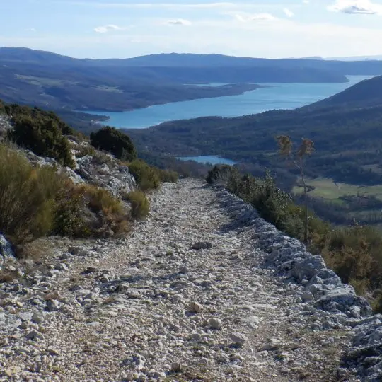
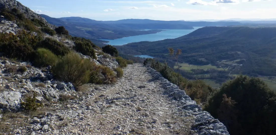
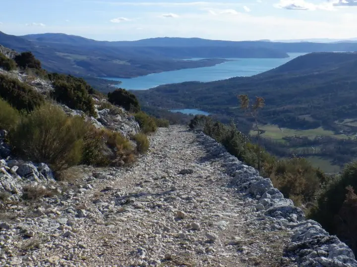
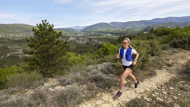
The ideal discovery course for runners who wish to discover the beauty of the terrain of our village of Moustiers-Sainte-Marie!
-
A very playful itinerary, formed by a long climb at the beginning, a magnificent descent at the end (punctuated by a dozen turns, some of which offer splendid panoramas on the lake of Sainte-Croix!), and a variety of "relaunchings" between the two...
- Departure
- Moustiers-Sainte-Marie
-
-
Difference in height
- 561.667 m
-
-
-
Environment
-
-
-
Spoken languages
-
-
-
Documentation
- GPX / KML files allow you to export the trail of your hike to your GPS (or other navigation tool)
-
-
-
Accepted customers
-
- See all reviews
- 562 meters of difference in height
-
- Maximum altitude : 987 m
- Minimum altitude : 579 m
- Total positive elevation : 562 m
- Total negative elevation : -562 m
- Max positive elevation : 255 m
- Min positive elevation : -61 m
Services
-
-
Equipment
-
