Trail No. 4, 'Les 2 Tours' (The 2 Towers), located in the heart of the village of Volonne, invites you to take on the challenge of the Tigne summit. Warm up along the shores of the lake before climbing through the village’s picturesque medieval alleyways.
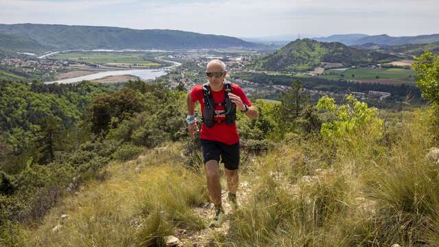
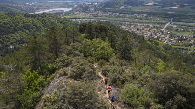
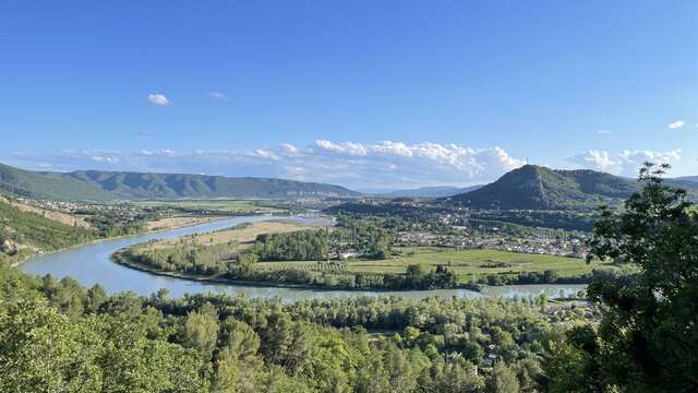
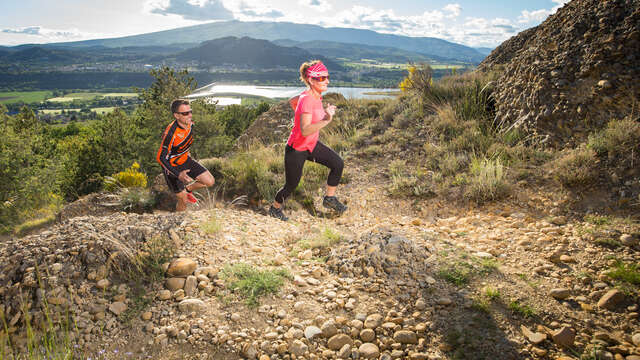
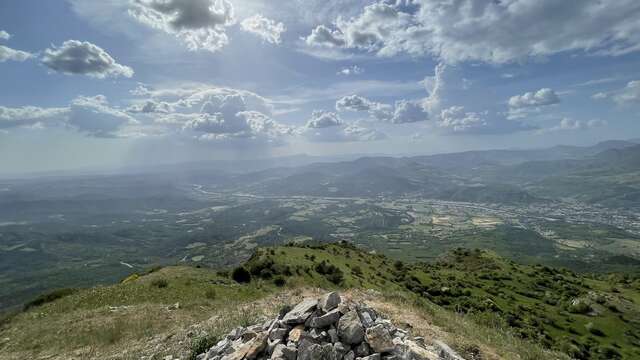
This authentic route propels you onto a shaded singletrack beneath the pines, offering a steady, sensory ascent typical of the Haute-Provence terrain. At the summit, the reward is total, with an unobstructed view over the Durance Valley. The descent—fast-paced and playful—winds through lavender plateaus and wheat fields, revealing a unique perspective of Volonne’s two iconic towers. Whether you run by headlamp, guided by the reflective markings, or under the deep Provençal blue, this demanding course finishes in style with technical switchbacks leading down to the magnificent Saint-Martin church.