
- Voir les favoris
Trail n°4 - Sommet du Pavillon
Sport, Pedestrian sports, Trail route
in Moustiers-Sainte-Marie
24.1
km
4h
Hard
-
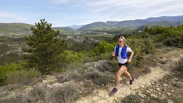
An extremely playful itinerary up to the summit of the "Pavillon", the southern highest point of the Montdenier massif.
-
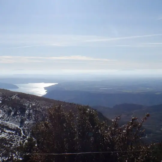
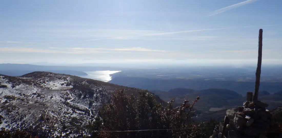
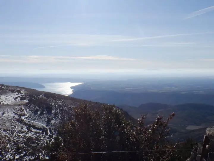
A breathtaking panorama at its highest point (with, in particular, the lake of Sainte-Croix and the plateau of Valensole on one side, and the mount Chiran and the Mourre de Chanier on the other...) and a magnificent descent to conclude, as a "cherry on the cake", by the ancient Roman way of the Courchon path !
- Departure
- Moustiers-Sainte-Marie
-
-
Difference in height
- 1275 m
-
-
-
Environment
-
-
-
Spoken languages
-
-
-
Documentation
- GPX / KML files allow you to export the trail of your hike to your GPS (or other navigation tool)
-
-
-
Accepted customers
-
- See all reviews
- 1275 meters of difference in height
-
- Maximum altitude : 1617 m
- Minimum altitude : 579 m
- Total positive elevation : 1275 m
- Total negative elevation : -1275 m
- Max positive elevation : 446 m
- Min positive elevation : -484 m
Services
-
-
Equipment
-
