
- Voir les favoris
See photos (4)
Trail n°4 - Tour de l'Auragnerie
Sport, Pedestrian sports, Trail route
in Seyne
6.9
km
1h 15min
Easy
-
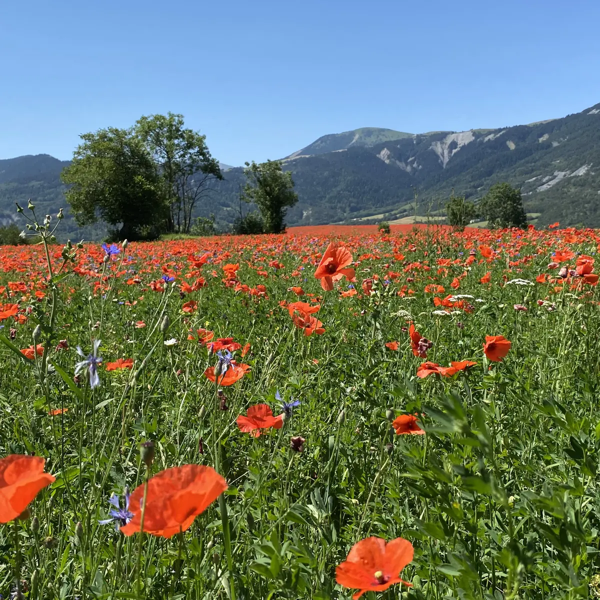
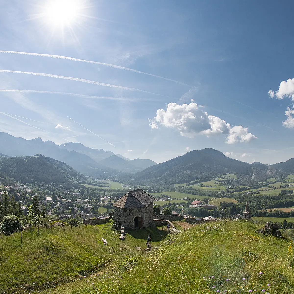
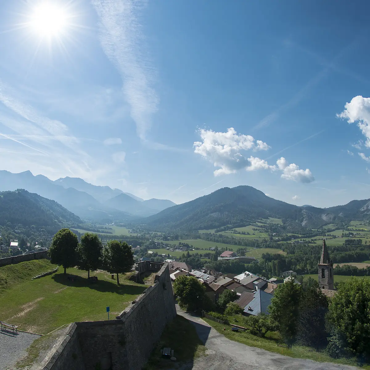
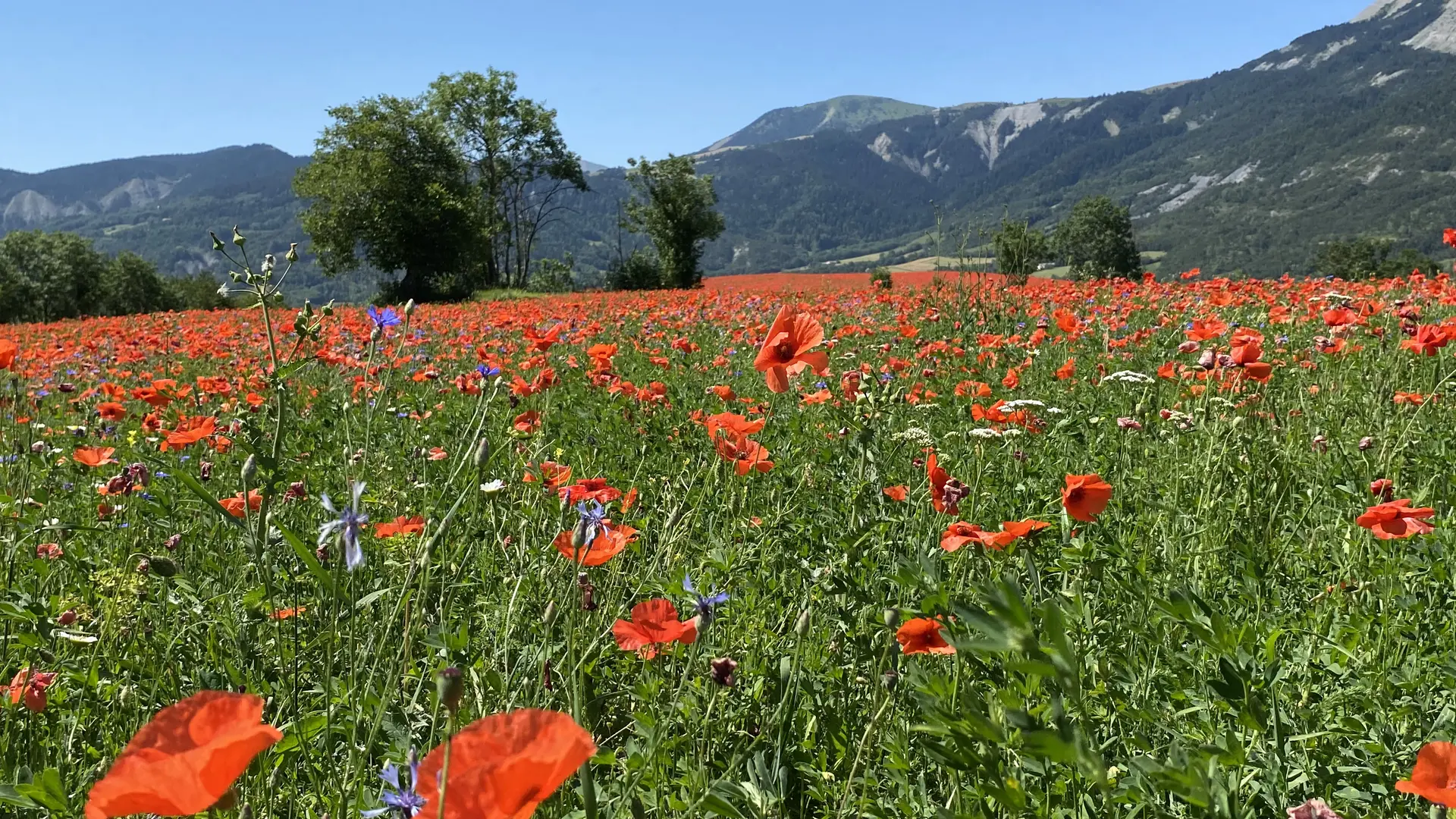
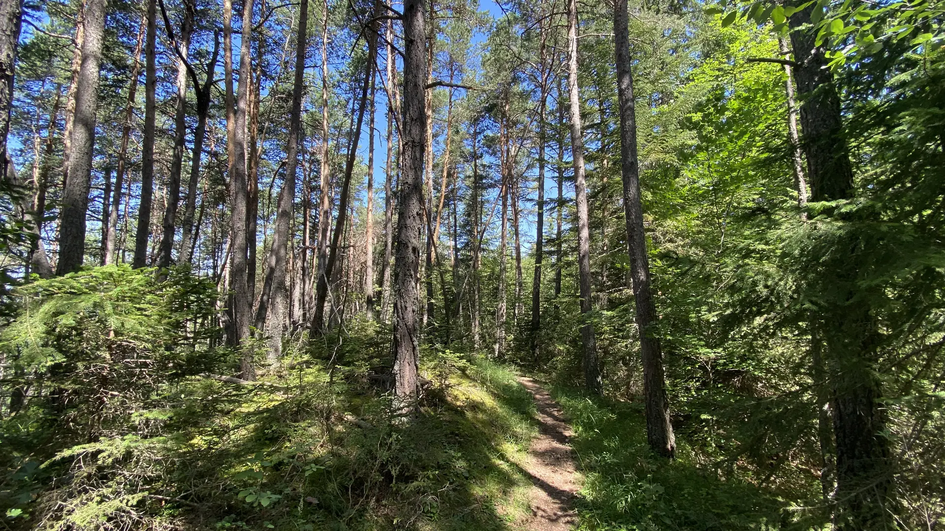
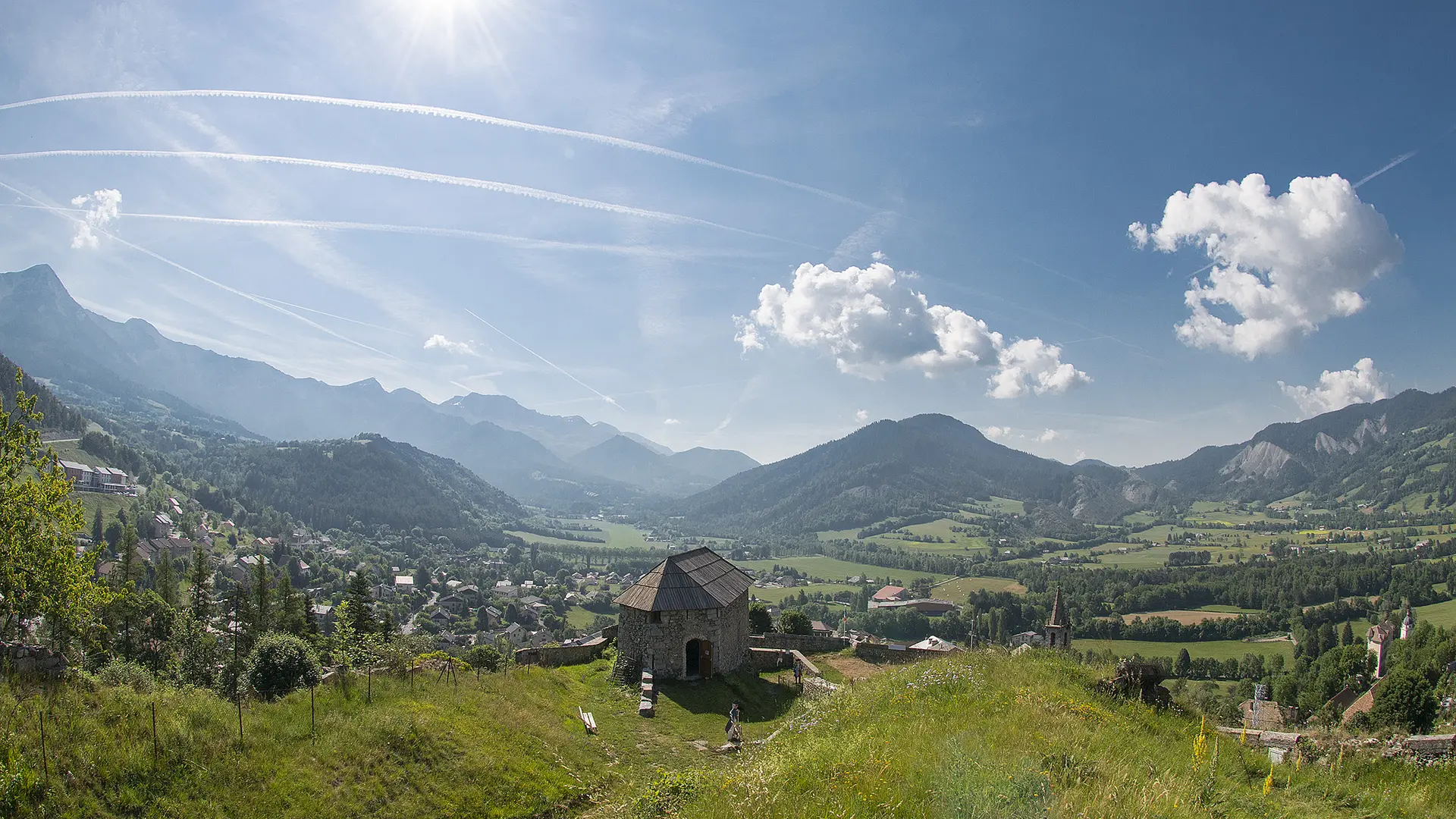
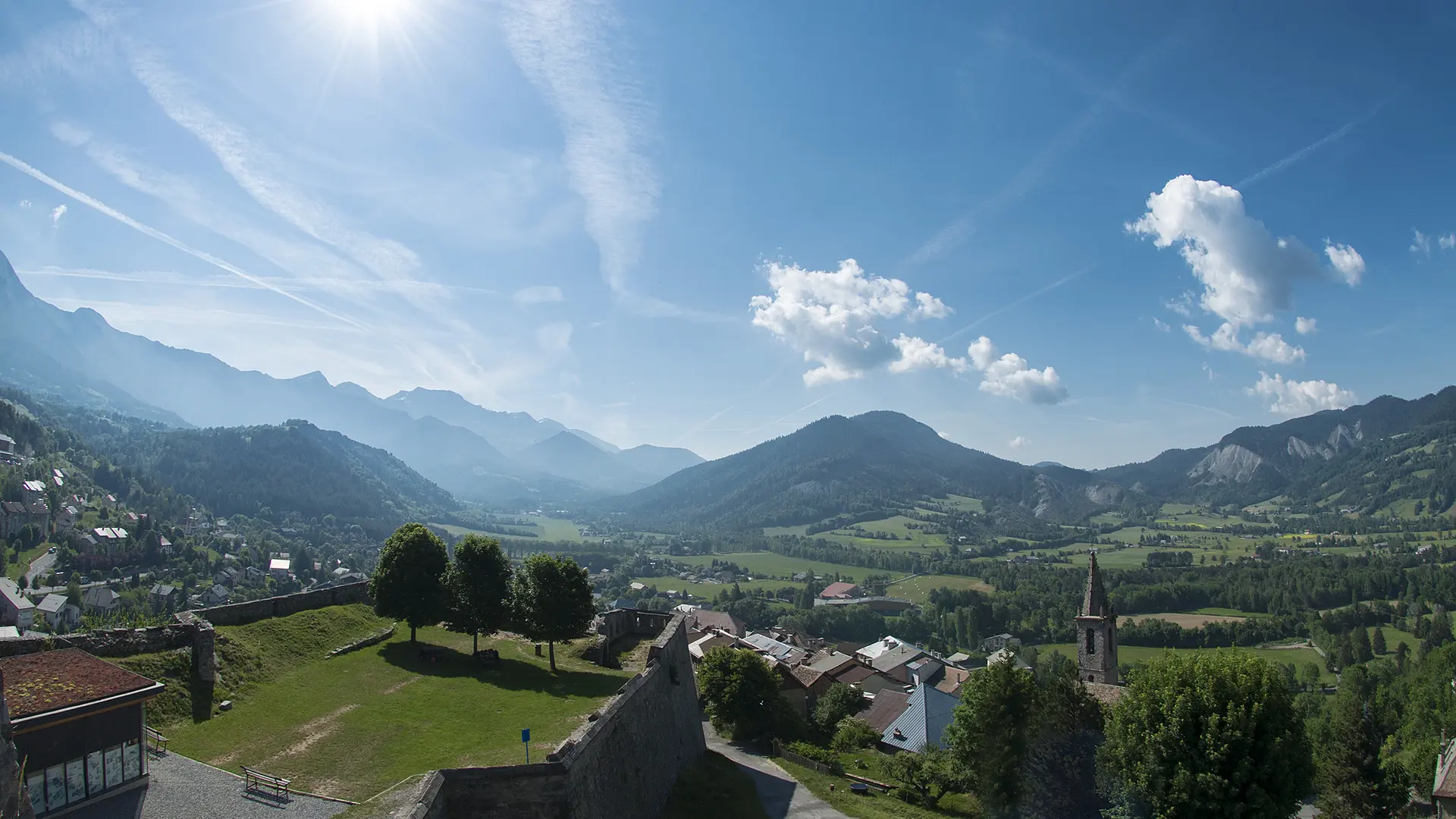
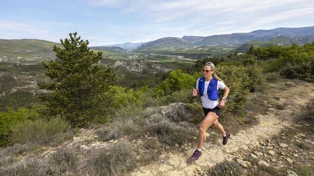
A ridge route above the village of Le Seyne. Magnificent scenery and a short climb await you on this route!
-
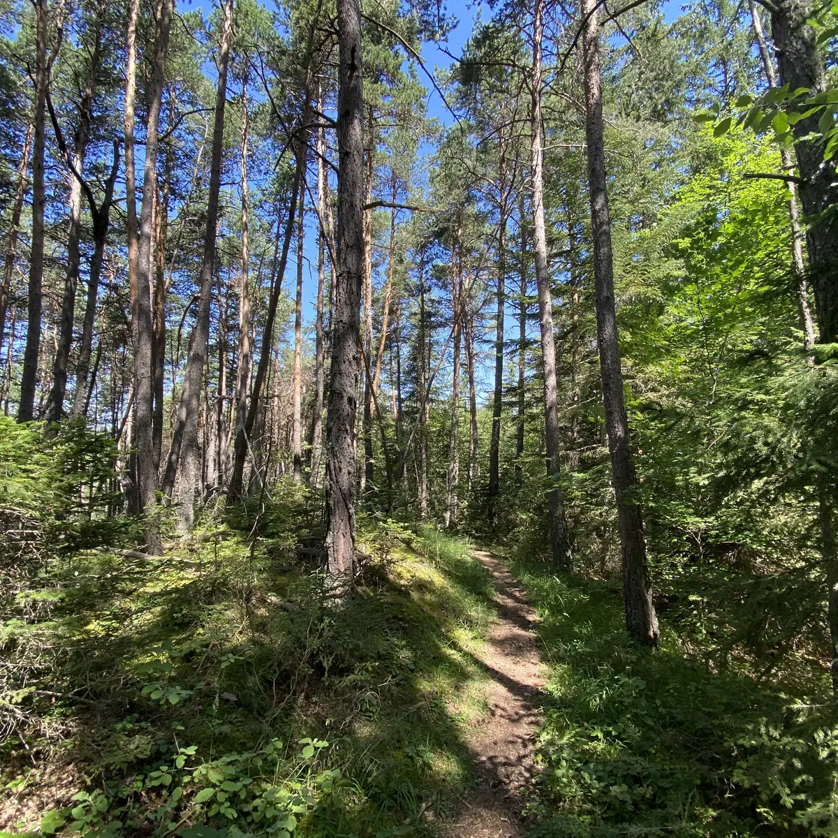
This short route is ideal for those new to this outdoor sport. Setting off from the village of Seyne, you will head towards the Château de Montclar, where a fairly dry climb awaits you. Don't panic, you can walk uphill - the aim of trail running is to manage your effort! The return journey takes you along a pleasant ridge path from which you can enjoy the magnificent views.
- Departure
- Seyne
-
-
Difference in height
- 314.817 m
-
-
-
Environment
-
-
-
Spoken languages
-
-
-
Documentation
- GPX / KML files allow you to export the trail of your hike to your GPS (or other navigation tool)
-
-
-
Accepted customers
-
- See all reviews
- 315 meters of difference in height
-
- Maximum altitude : 1438 m
- Minimum altitude : 1202 m
- Total positive elevation : 315 m
- Total negative elevation : -315 m
- Max positive elevation : 207 m
- Min positive elevation : -36 m
Services
-
-
Equipment
-
-
-
Services
-


