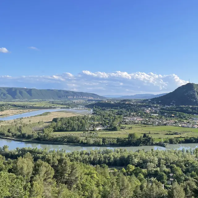
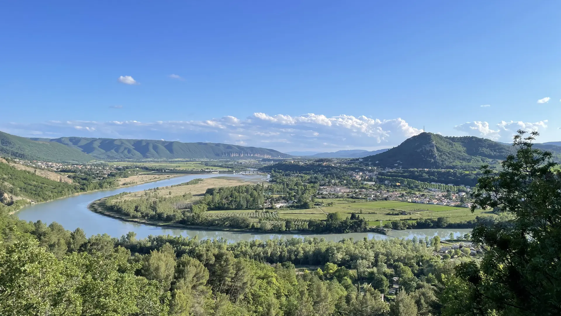
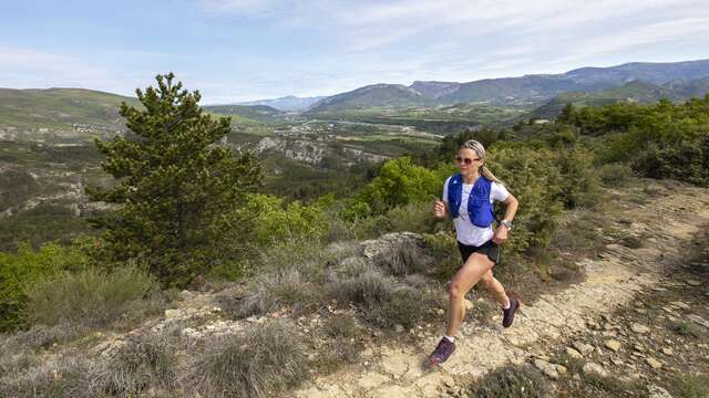
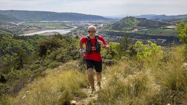
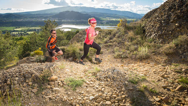
Trail No. 5, 'Les Balcons de la Durance,' is a masterful loop. This route is designed for trail runners with a thirst for epic landscapes. From the very first kilometers, you will tower over the L’Escale reservoir, witnessing the profound impact of the dam on the surrounding scenery.
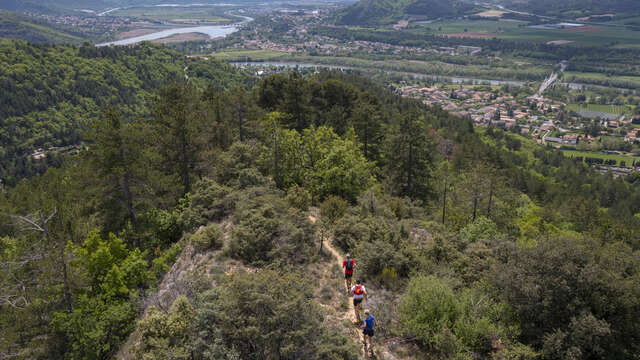
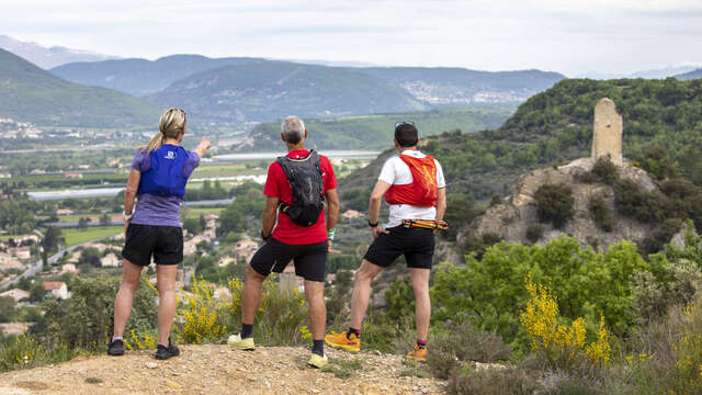
Between wild trails and forest tracks, this route transports you all the way to Volonne, offering total immersion in the raw, sun-drenched character of Haute-Provence. The adventure takes on a historic dimension as you pass through the old village of Vière, where calades (traditional stone-paved paths) and centuries-old fountains tell a medieval tale. After skirting the Vignorgues under the shade of the pines, you will enjoy a rhythmic and athletic profile before beginning a soothing return via the famous 'Tour du Lac' lakeside path. It is the perfect alliance of physical effort and heritage contemplation—a must-run for anyone wishing to set foot on a land of history and light.