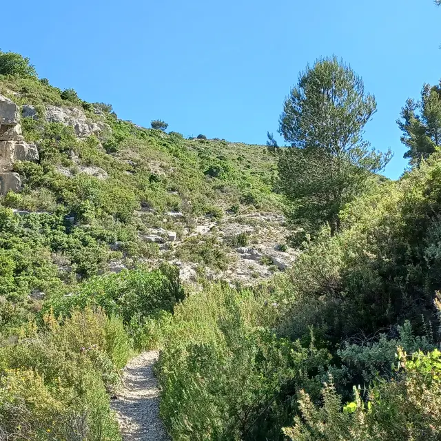
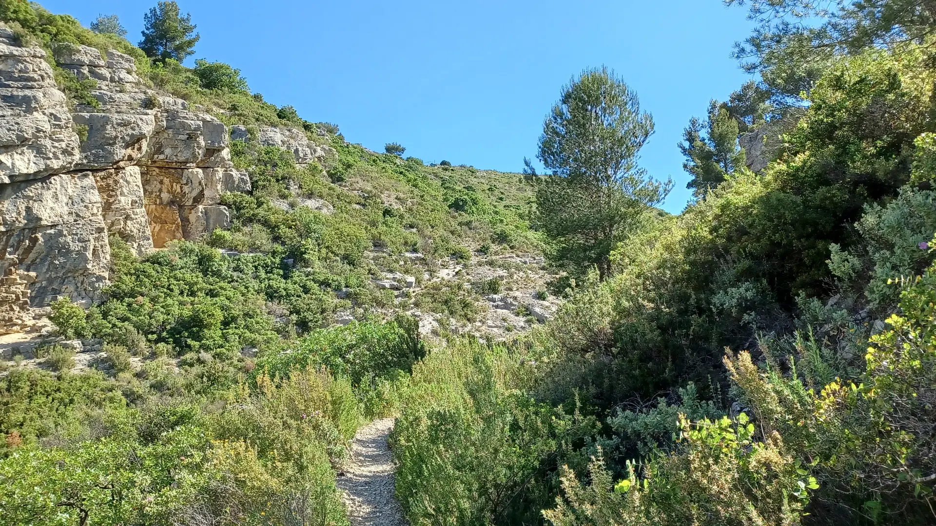
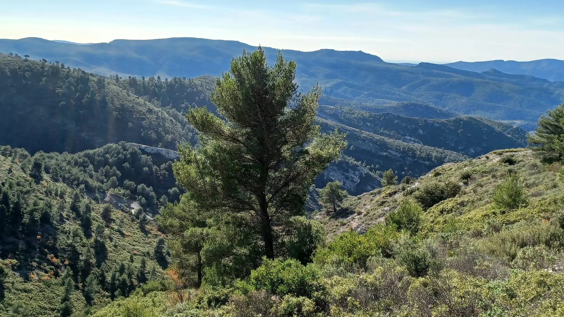
You'll be on trails that demand skill and physical strength. On this route, you won't find a single flat space between the start and the return to asphalt. In between, you'll find a series of varied climbs and descents with changes in terrain. A special highlight is the climb between the 4th and 5th km.
Read more