See photos (8)

Trails of the Maquis de Gordes through La Sénancole

Sport, Pedestrian sports, Hiking itinerary in Gordes
18.7 km
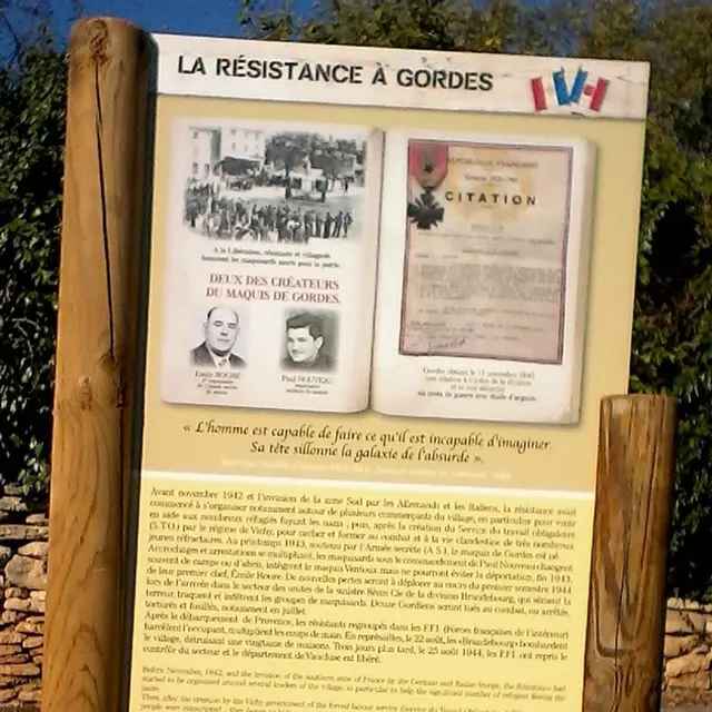
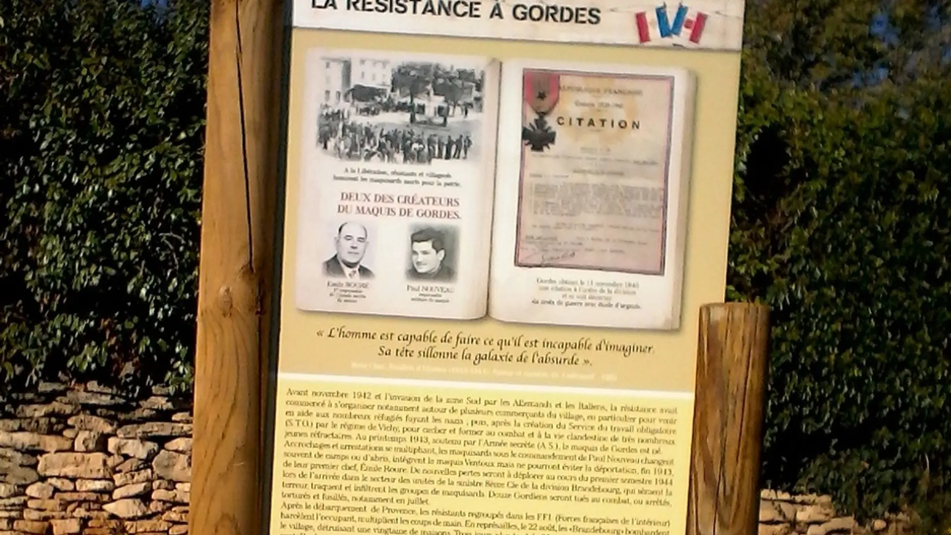
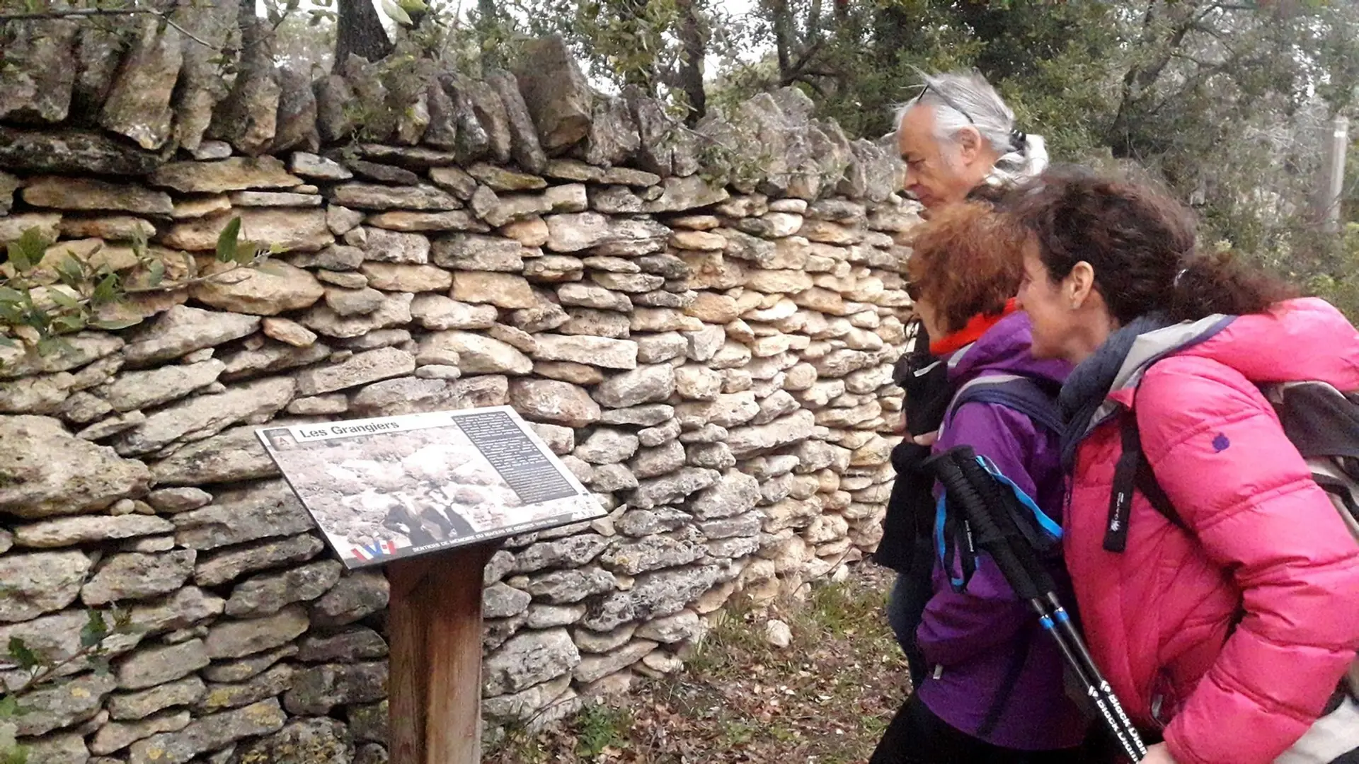
  • Hiking and history, following the footsteps of the members of the Resistance from Gordes (1942 - 1944)
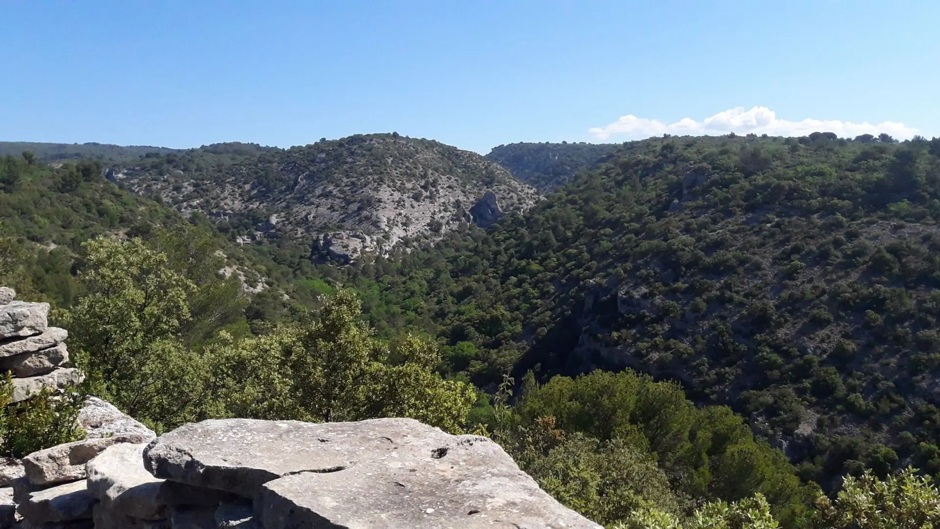
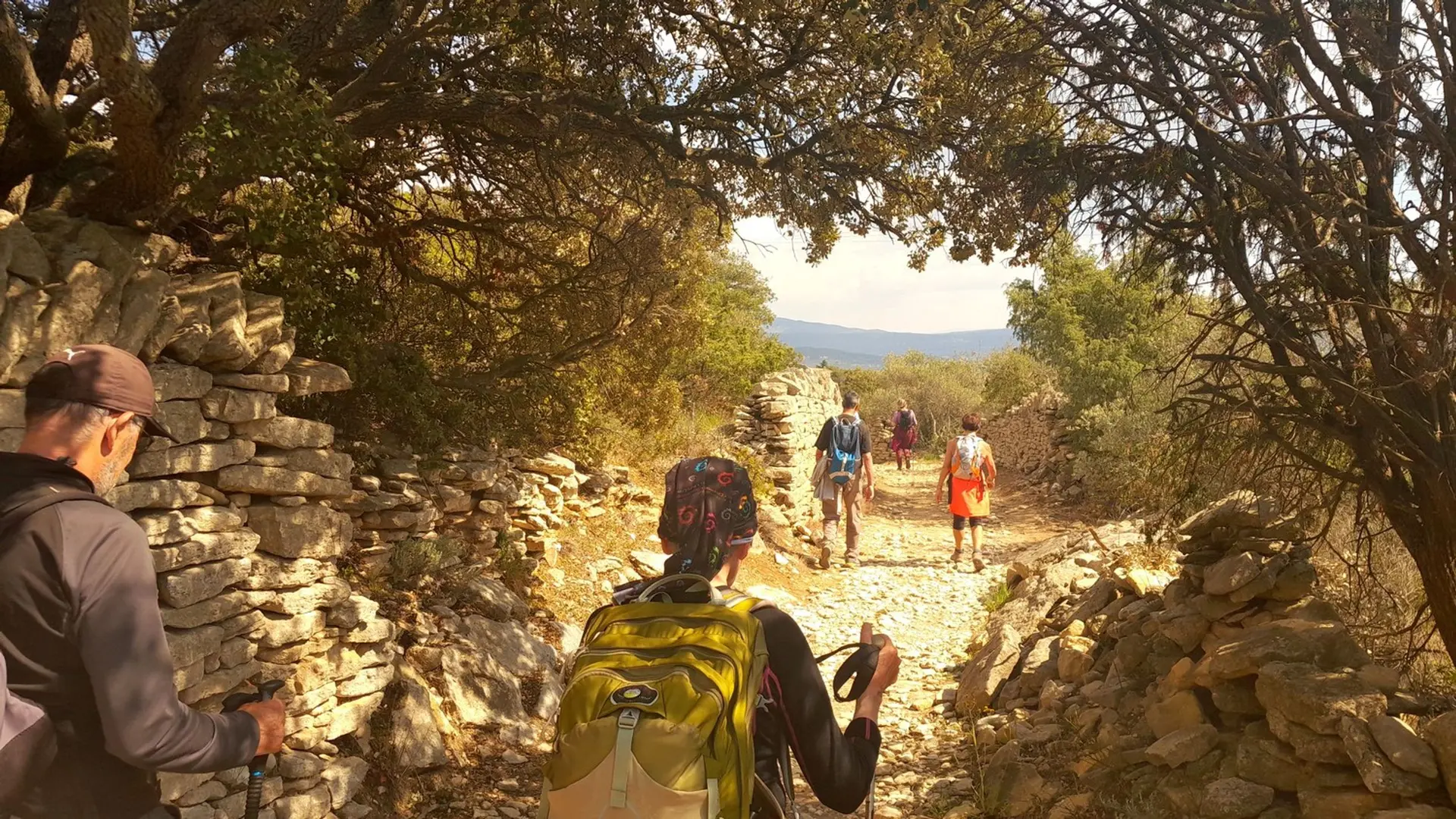
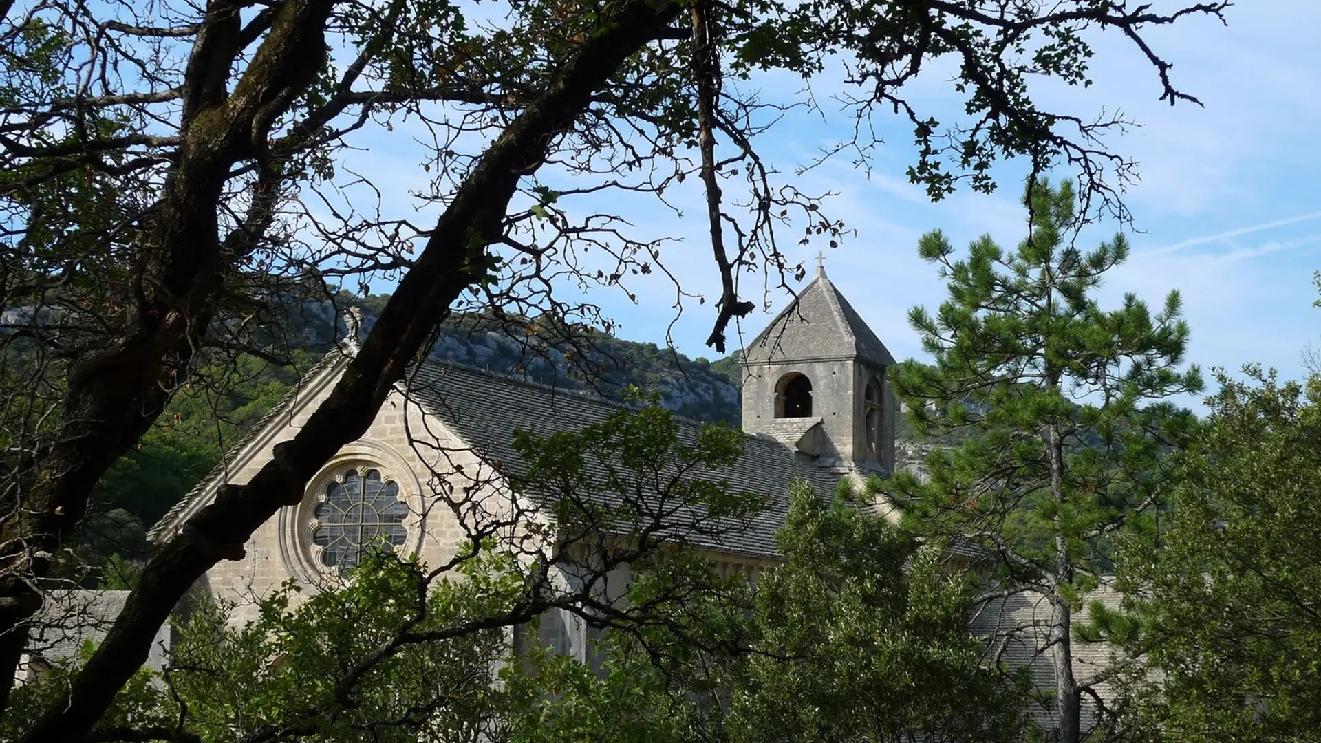
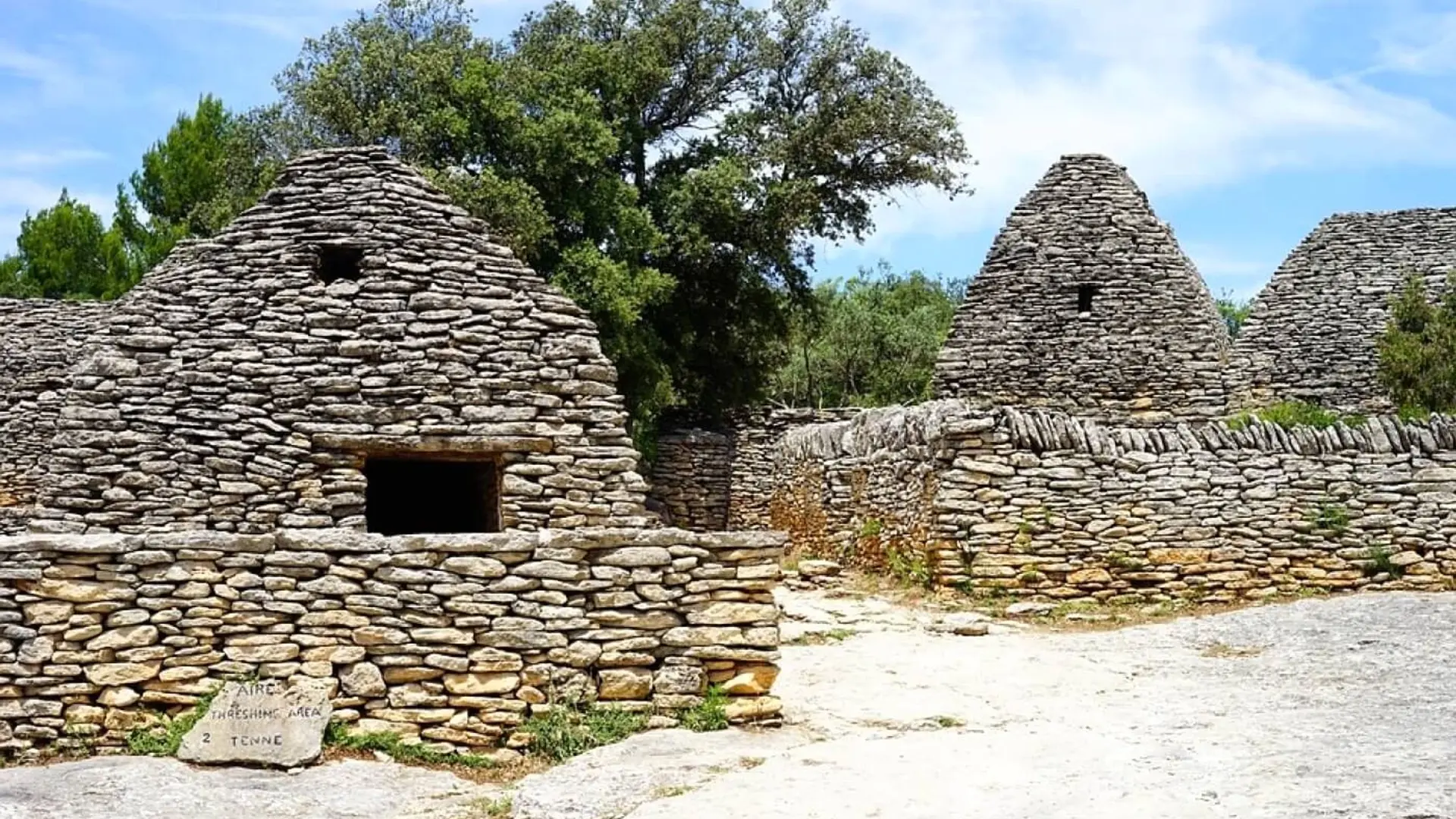
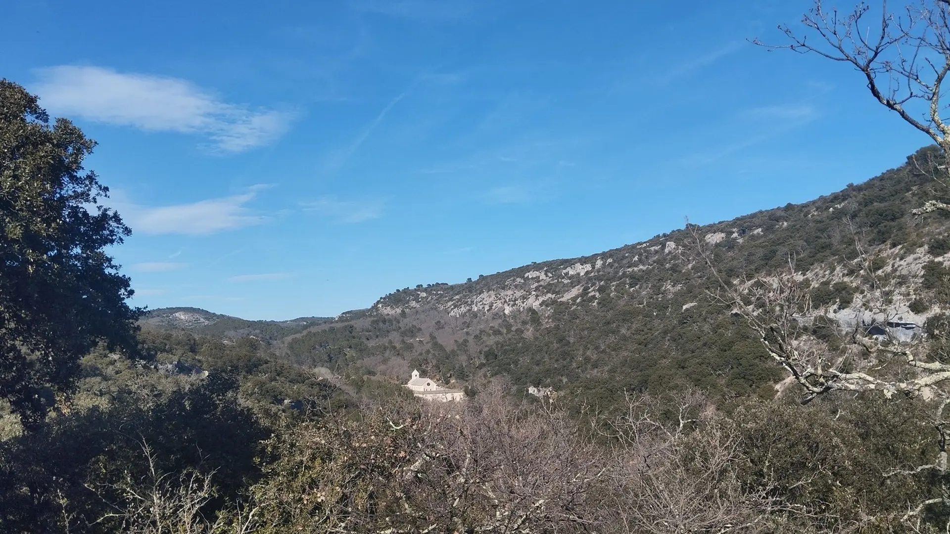
  • At the Place du Château (roundabout), go along the north wall of the castle, continue on the left when reaching the Y junction, pass in front of the post office, then continue straight on the Saint-Pons street until the entrance of the cemetery (GR®).). Retrace your steps, pass under the car park and come out on "Route Neuve" (D102). Go up the Baptistin-Picca street on the right.
    1 - Near the castle (tourist office), rush into the Rue de l'Eglise. Pass Saint-Firmin's church gate, turn right...
    At the Place du Château (roundabout), go along the north wall of the castle, continue on the left when reaching the Y junction, pass in front of the post office, then continue straight on the Saint-Pons street until the entrance of the cemetery (GR®).). Retrace your steps, pass under the car park and come out on "Route Neuve" (D102). Go up the Baptistin-Picca street on the right.
    1 - Near the castle (tourist office), rush into the Rue de l'Eglise. Pass Saint-Firmin's church gate, turn right 20m after the Porte-de-Savoie street and go down the Jean-Deyrolle street to the left (GR®).). Pass the hairpin turn and go up the Bel-Air path. At the top, continue straight, cross the Cavaillon road (D15) and weave in between two walls. Slope down gently and keep going straight.
    2 Leave on the right the path leading to the Village des Bories and just after the turn, take a right. Go down to the end of tar and continue straight on the cobblestone path (GR®).). At the bottom of the valley of Sénancole, turn left and then take a quick right. Leave behind the flat path on the left and climb the gravel path across. Pass a house and continue on the track to the left.
    3 - At the top, turn left (RP). After the car park of the Village des Bories, go onto a trail along an olive grove on the left. Pass along a large stone wall and continue on the ridge to the right. After two narrow hairpin turns, continue the descent to the bottom of the valley and continue upstream (RP).
    4 - At the crossroads "la Senancole", cross the ravine to the left and go up the trail of Grande Combe to the right. Leave a trail on the left (RP) and advance 130m further.
    5 - Turn right, leave the valley and climb a rocky path. Once on the plateau, reach the old farm of Débroussède. Continue to the right on a poorly marked trail for about 80m and take a quick right then a left in the valley of La Sénancole. Cross the ford and reach the Senanque Abbey.
    6 - Climb the path on the right going above the car park. Turn right and go up the road (GR®).). Go down the road (D177) for 100m and go onto the trail on the right (GR®).). Keep descending straight. Reach a small road. Follow it to the left and reach the Sénanque road (D177).
    7 - Take the road (D177) on the right 220m further, then at a lamppost under an oak, turn left and get onto the Gordes road (D15). Turn left, pass the big curve and return to the castle (GR®).).

    Medium
  • Departure
    Gordes
  • Difference in height
    649.014 m
  • Departure : Place du Château, Gordes.
    Arrival : Gordes.
    Road access : At 18km northeast of Cavaillon, through the D15..
    Parking recommended : Car park at Murs road (D2) - paid car park. .
  • Documentation
    GPX / KML files allow you to export the trail of your hike to your GPS (or other navigation tool)
649 meters of difference in height
  • Maximum altitude : 472 m
  • Minimum altitude : 222 m
  • Total positive elevation : 649 m
  • Total negative elevation : -652 m
  • Max positive elevation : 184 m
  • Min positive elevation : -126 m